Gwlad-y-Mor
Settlement in Flintshire
Wales
Gwlad-y-Mor

Gwlad-y-Mor, located in Flintshire, Wales, is a serene coastal village renowned for its picturesque surroundings and rich history. Nestled on the northeastern coast of Wales, it is bordered by the Irish Sea to the north and the Dee Estuary to the east. The name "Gwlad-y-Mor" translates to "Land of the Sea" in Welsh, aptly reflecting its location and maritime influence.
The village is characterized by its stunning sandy beach, which attracts visitors from all over the country. With its golden shores stretching for miles and framed by rolling dunes, Gwlad-y-Mor offers a tranquil escape for beachgoers and nature enthusiasts alike. The beach is also known for its excellent water quality, making it a popular spot for swimming and water sports.
Gwlad-y-Mor's history can be traced back to the Roman era, as evidenced by the remains of Roman fortifications discovered in the area. The village has a rich maritime heritage, with fishing being a significant part of its past. Today, fishing still plays a role in the local economy, although tourism has become increasingly important.
The village is home to a small but vibrant community, with a range of amenities and services to cater to residents and visitors. The local shops, restaurants, and cafes offer a variety of goods and dining options, showcasing the region's local produce and culinary delights.
Overall, Gwlad-y-Mor is a captivating coastal village that seamlessly blends natural beauty, history, and a charming community, making it an idyllic destination for those seeking a peaceful retreat by the sea.
If you have any feedback on the listing, please let us know in the comments section below.
Gwlad-y-Mor Images
Images are sourced within 2km of 53.212464/-2.970285 or Grid Reference SJ3568. Thanks to Geograph Open Source API. All images are credited.


Gwlad-y-Mor is located at Grid Ref: SJ3568 (Lat: 53.212464, Lng: -2.970285)
Unitary Authority: Flintshire
Police Authority: North Wales
Also known as: Sealand
What 3 Words
///swooned.pardon.koala. Near Saughall, Cheshire
Nearby Locations
Related Wikis

Sealand, Flintshire
Sealand is a community in Flintshire and electoral ward, north-east Wales, on the edge of the Wirral peninsula. It is west of the city of Chester, England...
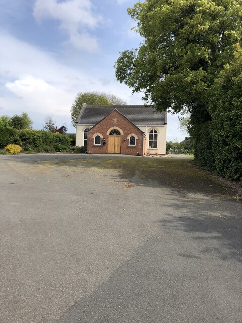
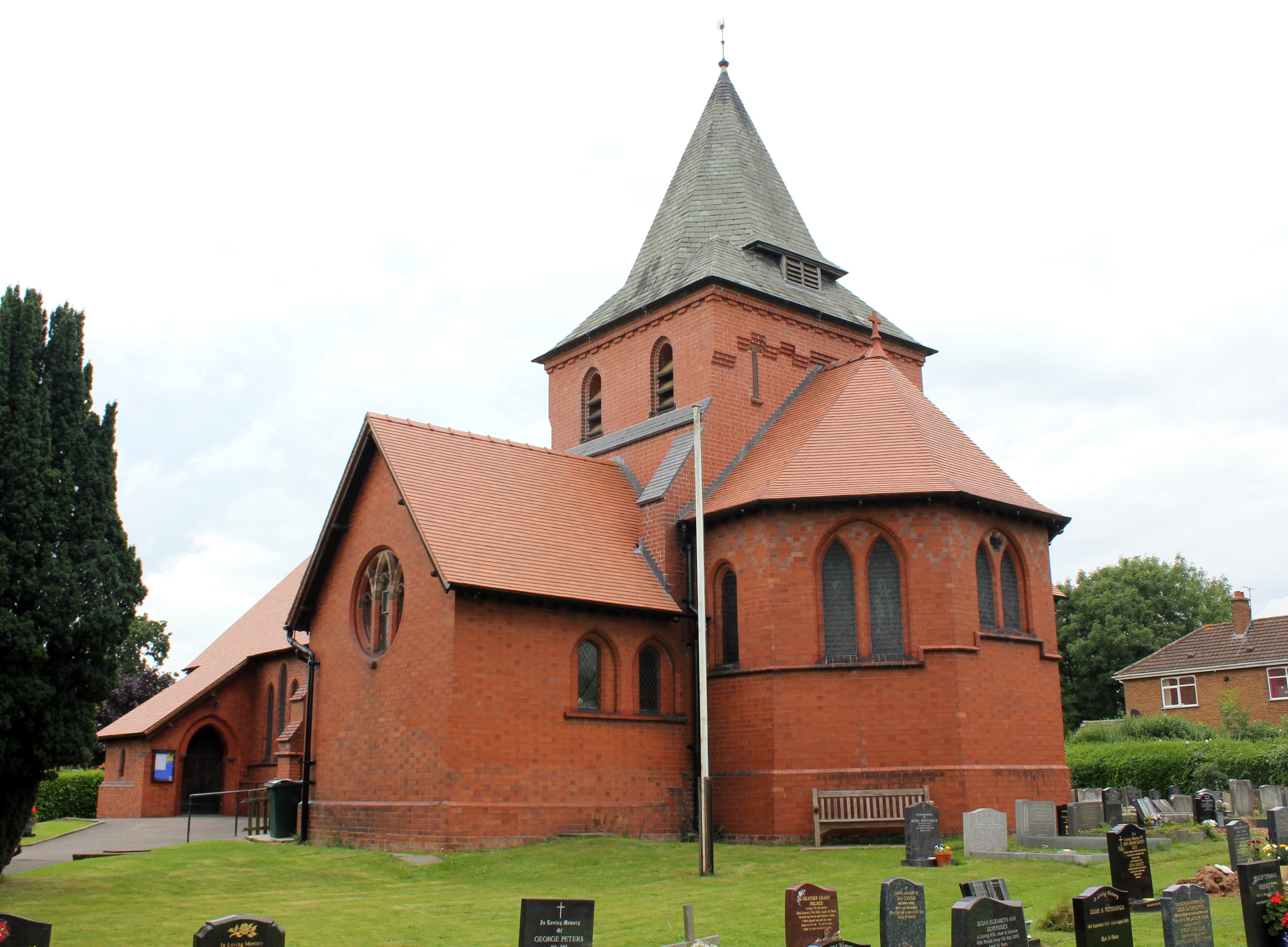
St Bartholomew's Church, Sealand
St Bartholomew's Church, Sealand, is in Sealand, Flintshire, Wales and in the diocese of St Asaph The church is designated as a Grade II listed building...

Saughall railway station
Saughall was a railway station on the former Chester & Connah's Quay Railway between Chester Northgate and Hawarden Bridge. It was 0.63 miles (1.01 km...
Saughall
Saughall is a village and former civil parish in the unitary authority area of Cheshire West and Chester and the ceremonial county of Cheshire, England...
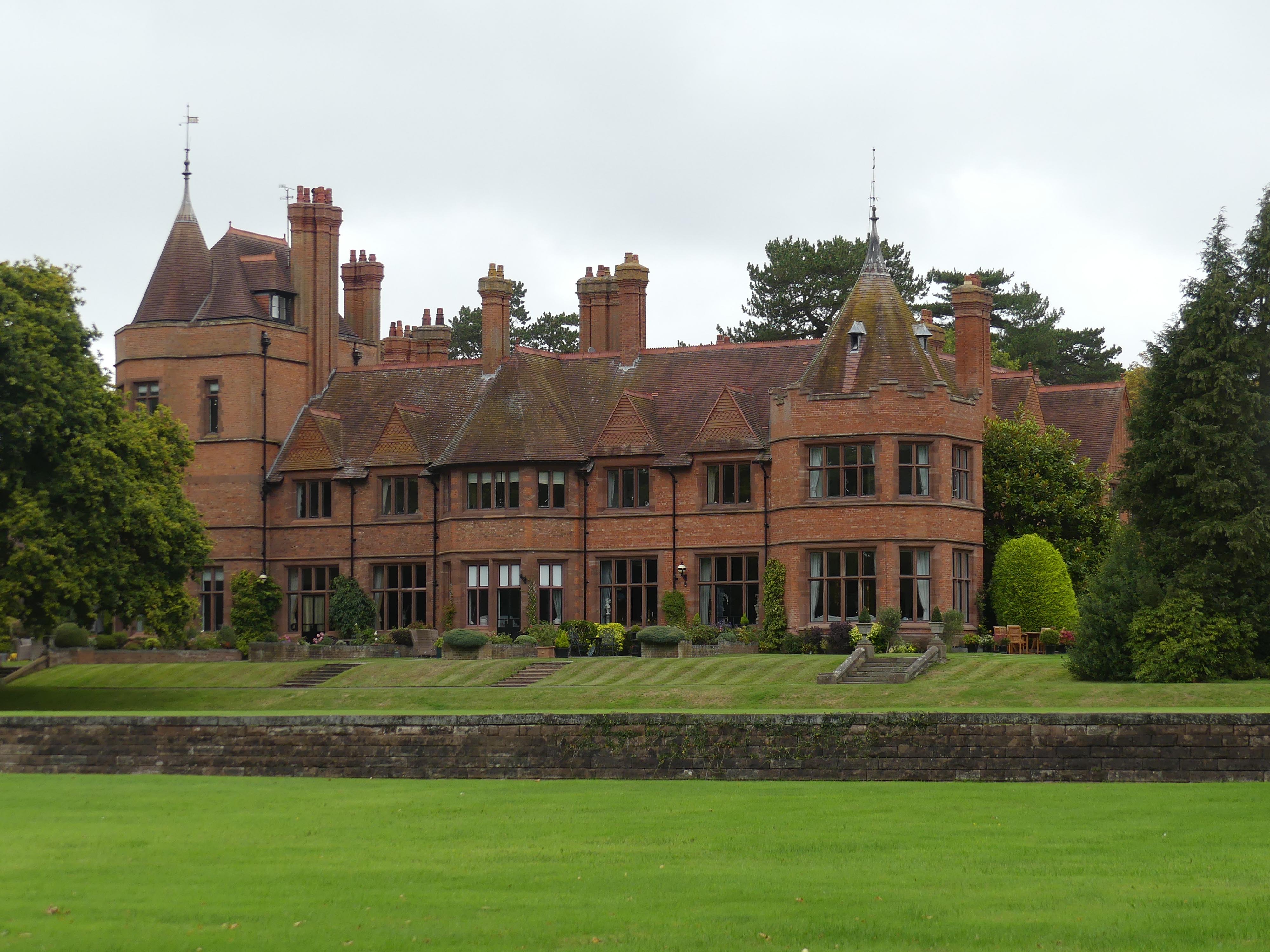
Shotwick House
Shotwick House (originally known as Shotwick Park) is a large house in Great Saughall, Cheshire, England. It is recorded in the National Heritage List...

Shotwick Castle
Shotwick Castle is a Norman medieval fortification near the village of Saughall, Cheshire, England. Construction began in the late 11th century. Its purpose...
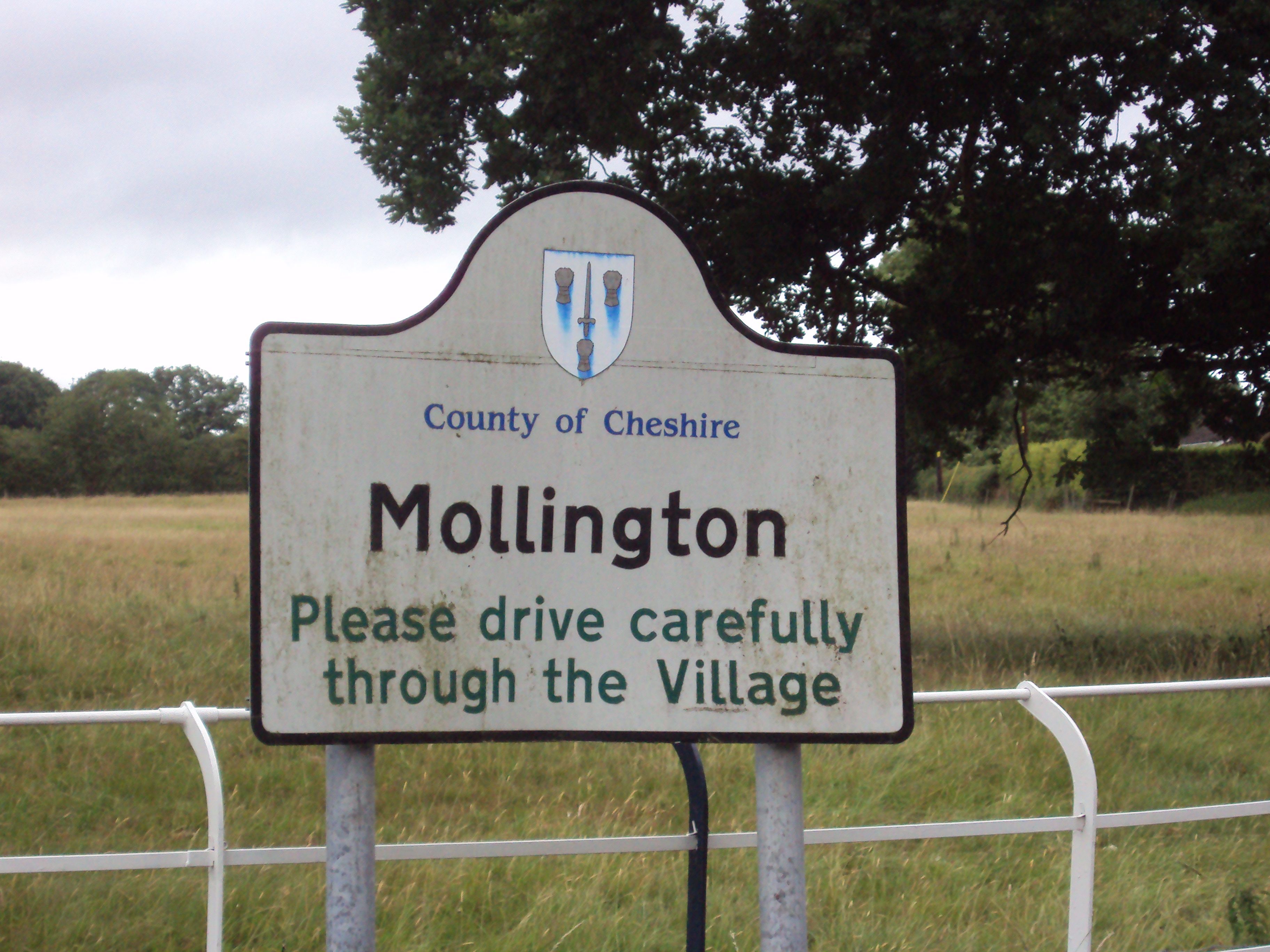
Mollington, Cheshire
Mollington is a village and civil parish in Cheshire, England, two miles north of the city of Chester, with the A41 Liverpool-Chester trunk road and Shropshire...
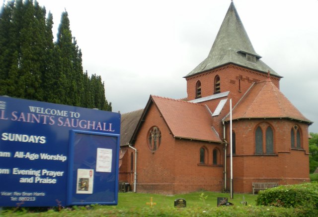
All Saints Church, Great Saughall
All Saints Church, Great Saughall, is located in Church Road in the civil parish of Saughall and Shotwick Park, formerly Saughall and before that Great...
Nearby Amenities
Located within 500m of 53.212464,-2.970285Have you been to Gwlad-y-Mor?
Leave your review of Gwlad-y-Mor below (or comments, questions and feedback).