Blaenau Dolwyddelan
Settlement in Caernarfonshire
Wales
Blaenau Dolwyddelan
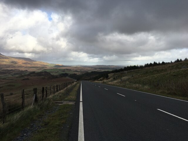
Blaenau Dolwyddelan is a small village located in the county of Caernarfonshire, in the north-western region of Wales. Nestled within the Snowdonia National Park, this picturesque settlement is surrounded by breathtaking natural beauty and offers a tranquil escape from the hustle and bustle of city life.
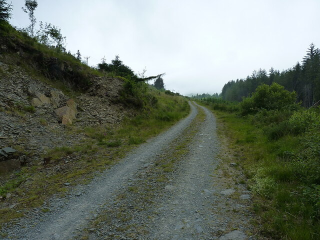
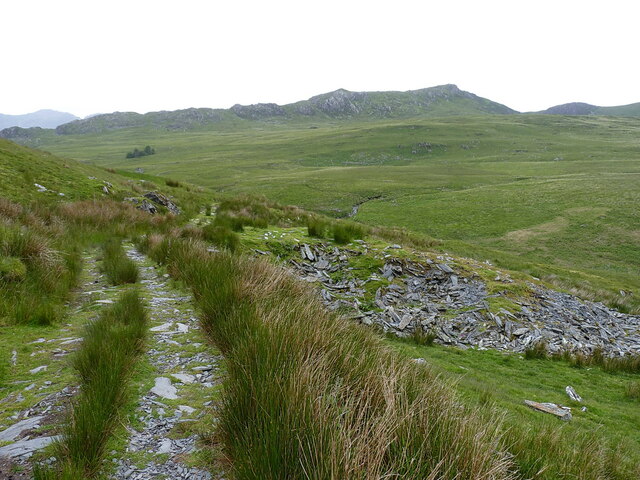
The village is situated at the convergence of the rivers Lledr and Llugwy, which provide a scenic backdrop to the local landscape. Blaenau Dolwyddelan is known for its rolling hills, dense forests, and stunning mountain views, making it a popular destination for outdoor enthusiasts and nature lovers.
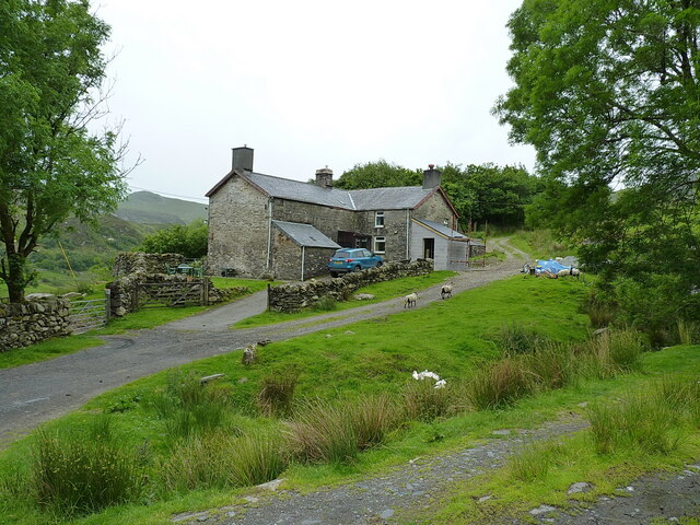
The village itself is steeped in history, with many buildings dating back centuries. One of the most notable landmarks is Dolwyddelan Castle, a medieval fortress that stands on a hill overlooking the village. Built by Llywelyn the Great in the 13th century, the castle offers a glimpse into the region's rich past and attracts visitors from far and wide.
Though small in size, Blaenau Dolwyddelan boasts a close-knit community, with a range of amenities to cater to the needs of its residents and visitors. These include a village pub, a post office, and a local shop, providing essential services and a warm welcome to all who pass through.
In summary, Blaenau Dolwyddelan is a charming village that combines natural beauty with a rich historical heritage. Whether you're seeking a peaceful retreat or an adventure in the great outdoors, this idyllic Welsh village offers a truly unforgettable experience.
If you have any feedback on the listing, please let us know in the comments section below.
Blaenau Dolwyddelan Images
Images are sourced within 2km of 53.047956/-3.935803 or Grid Reference SH7051. Thanks to Geograph Open Source API. All images are credited.


Blaenau Dolwyddelan is located at Grid Ref: SH7051 (Lat: 53.047956, Lng: -3.935803)
Unitary Authority: Conwy
Police Authority: North Wales
What 3 Words
///groomed.placidly.flagged. Near Blaenau-Ffestiniog, Gwynedd
Nearby Locations
Related Wikis
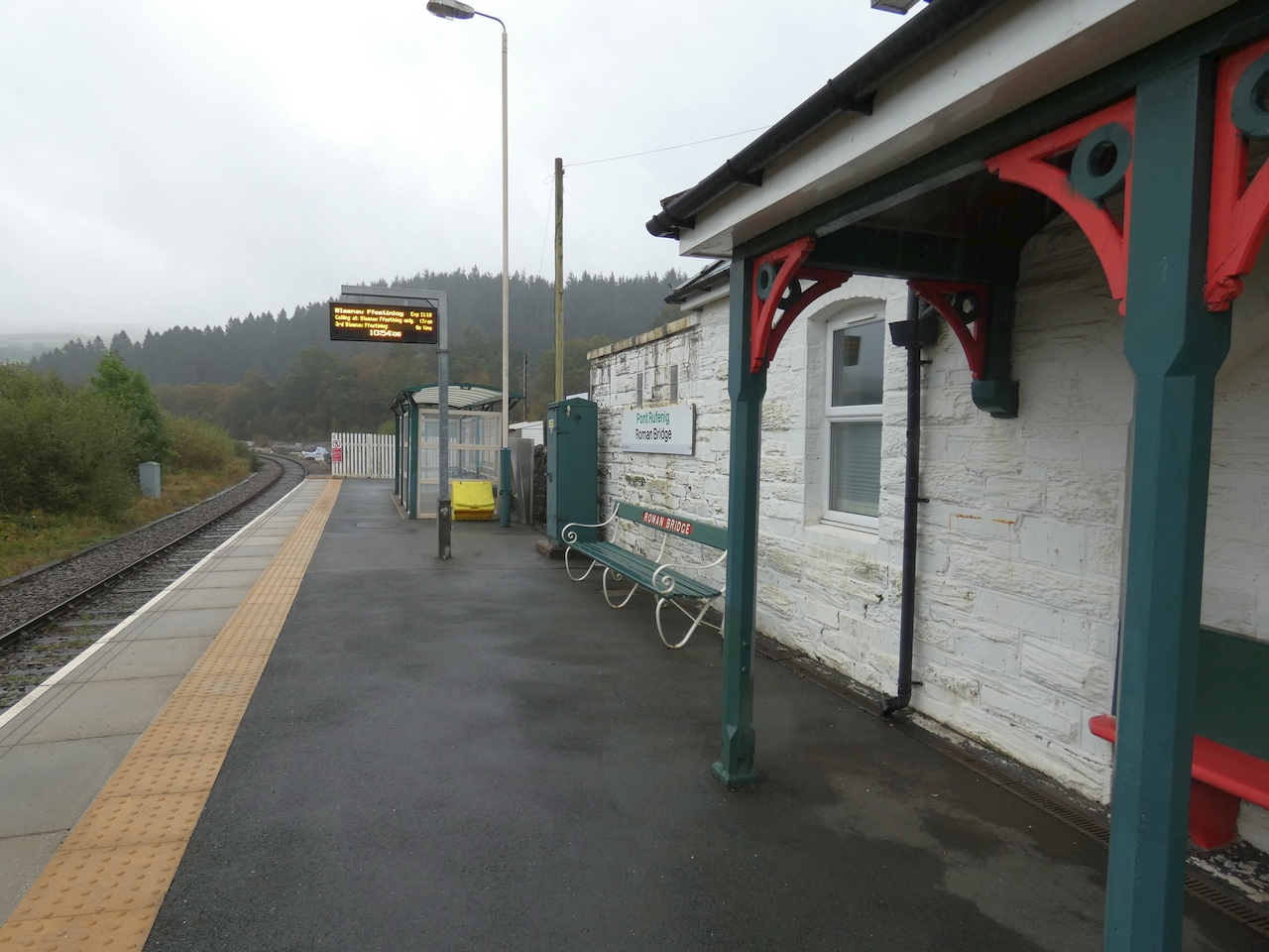
Roman Bridge railway station
Roman Bridge railway station (Welsh: Pont Rufeinig) is a request stop passenger station in the Lledr Valley, Wales, on the Conwy Valley Line from Llandudno...

Chwarel Ddu quarry
Chwarel Ddu quarry was the earliest slate quarry in the Lledr Valley. It was working before 1810, and continued in sporadic operation until the late 1920s...
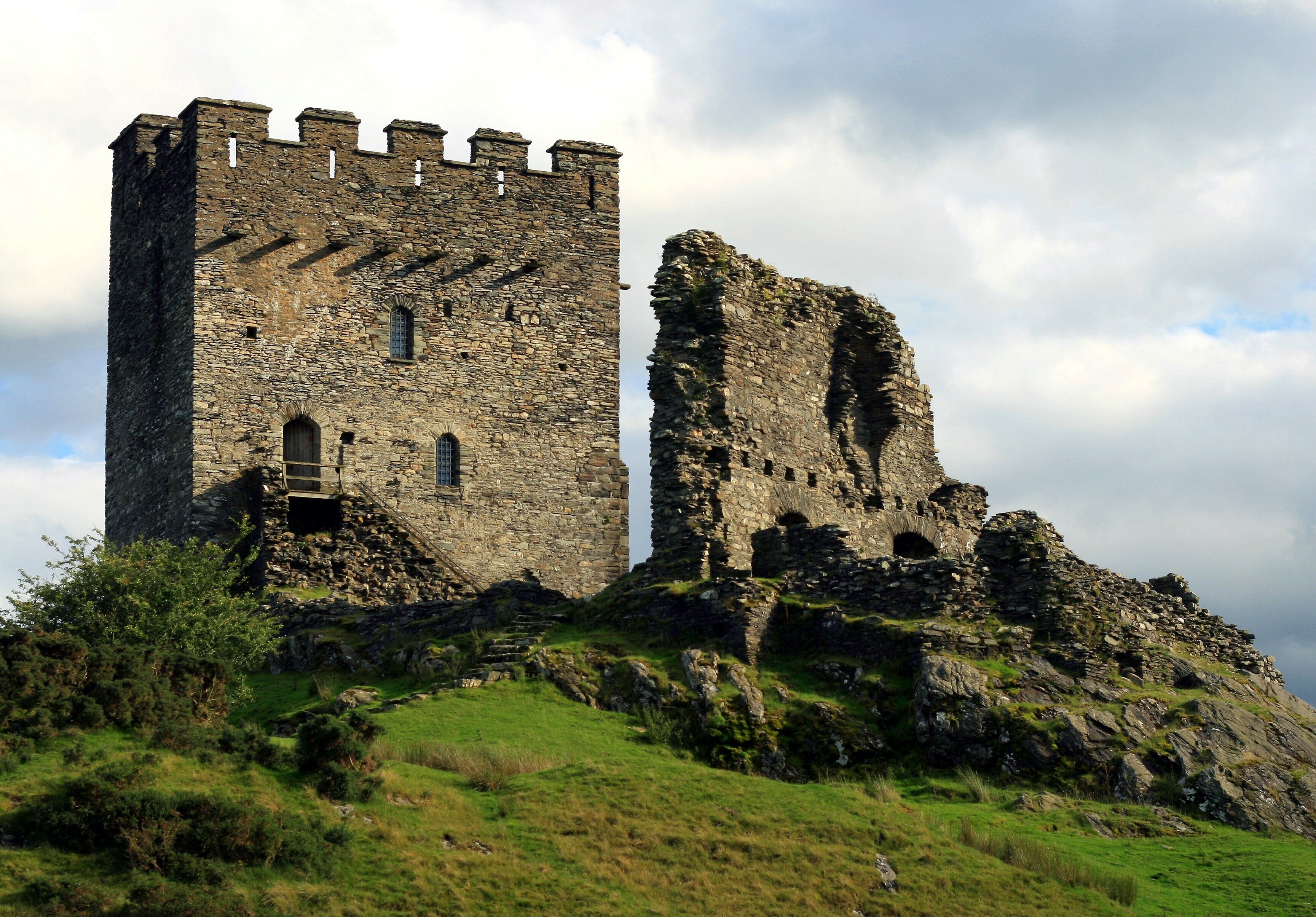
Dolwyddelan Castle
Dolwyddelan Castle ( dol-with-EL-an; Welsh: Castell Dolwyddelan; Welsh pronunciation: [kastɛɬ dɔlwɪð’ɛlan]) is a thirteenth-century castle located west...

Crimea Pass
The Crimea Pass (Welsh: Bwlch y Gorddinan) is a mountain pass in North Wales, on the A470 road between Blaenau Ffestiniog and Dolwyddelan connecting the...
Related Videos

Stylish Two Bedroom Holiday Cottage Near Betws y Coed | Neuadd-Dolwyddelan
This stylish two bedroom holiday cottage near Betws y Coed comes with a pretty garden terrace and big mountain views.

Stylish Two Bedroom Holiday Cottage Near Betws y Coed | Neuadd-Dolwyddelan | Bitesize
This stylish two bedroom holiday cottage near Betws y Coed comes with a pretty garden terrace and big mountain views.
cymru hiking
walking in wales,snowdonia.

Nearby Amenities
Located within 500m of 53.047956,-3.935803Have you been to Blaenau Dolwyddelan?
Leave your review of Blaenau Dolwyddelan below (or comments, questions and feedback).