Scot Lane End
Settlement in Lancashire
England
Scot Lane End
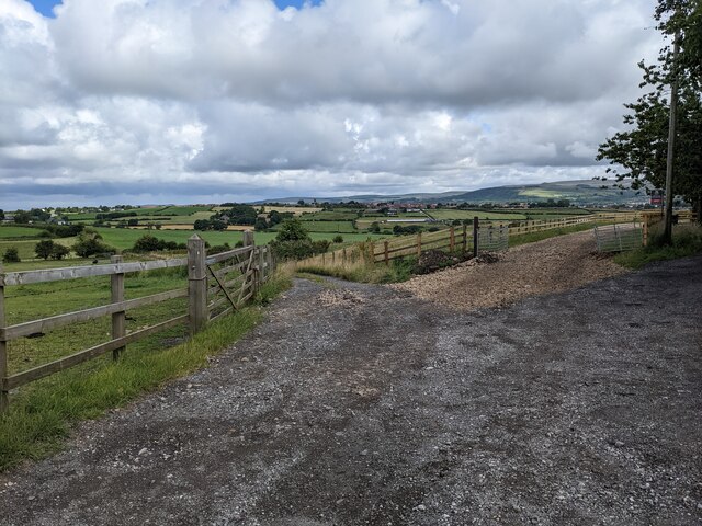
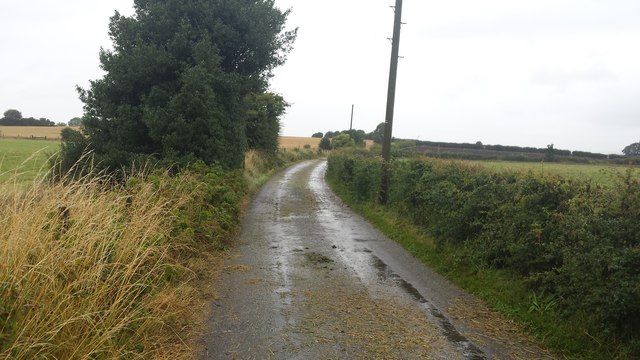
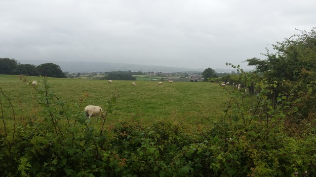
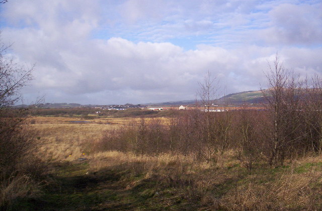
Scot Lane End is a small village located in the county of Lancashire, England. Situated approximately 3 miles northeast of the town of Wigan, it falls within the Metropolitan Borough of Wigan. The village is surrounded by beautiful countryside, with lush green fields and rolling hills.
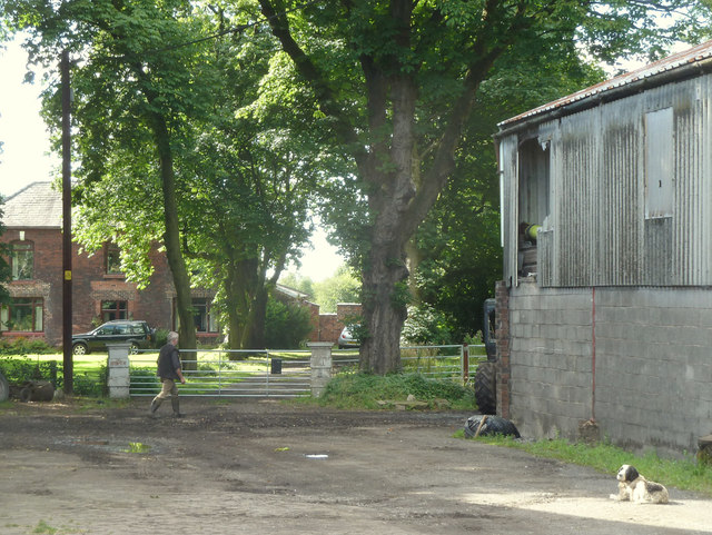
Scot Lane End is known for its peaceful and idyllic setting, offering residents and visitors a quiet retreat from the hustle and bustle of nearby urban areas. The village primarily consists of residential properties, including detached houses and cottages, giving it a charming and traditional feel.
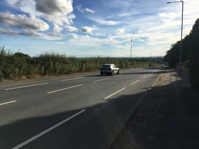
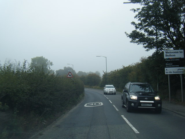
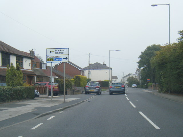
Despite its small size, Scot Lane End benefits from a range of local amenities. These include a community center, a primary school, a convenience store, and a pub, providing essential services and a sense of community for the residents. Additionally, the village is well-connected to neighboring areas through a network of roads, making it easily accessible.
The village is surrounded by several notable landmarks and attractions. Nearby Haigh Hall Country Park offers picturesque gardens, woodlands, and a golf course, providing opportunities for outdoor activities and leisurely walks. The Leeds and Liverpool Canal is also close by, offering scenic canal-side walks and opportunities for boating.
Overall, Scot Lane End offers a tranquil and picturesque setting, making it an attractive place to live for those seeking a peaceful rural lifestyle while still having access to essential amenities and nearby attractions.
If you have any feedback on the listing, please let us know in the comments section below.
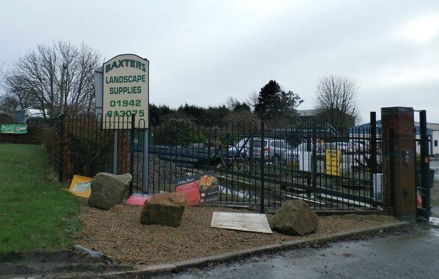
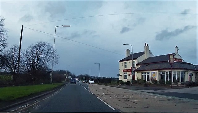
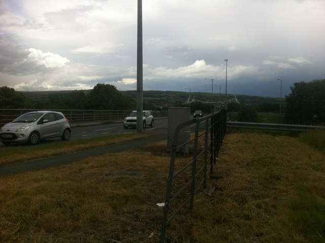
Scot Lane End Images
Images are sourced within 2km of 53.580284/-2.568514 or Grid Reference SD6209. Thanks to Geograph Open Source API. All images are credited.


Scot Lane End is located at Grid Ref: SD6209 (Lat: 53.580284, Lng: -2.568514)
Unitary Authority: Bolton
Police Authority: Greater Manchester
What 3 Words
///tramps.expose.fermented. Near Blackrod, Manchester
Nearby Locations
Related Wikis
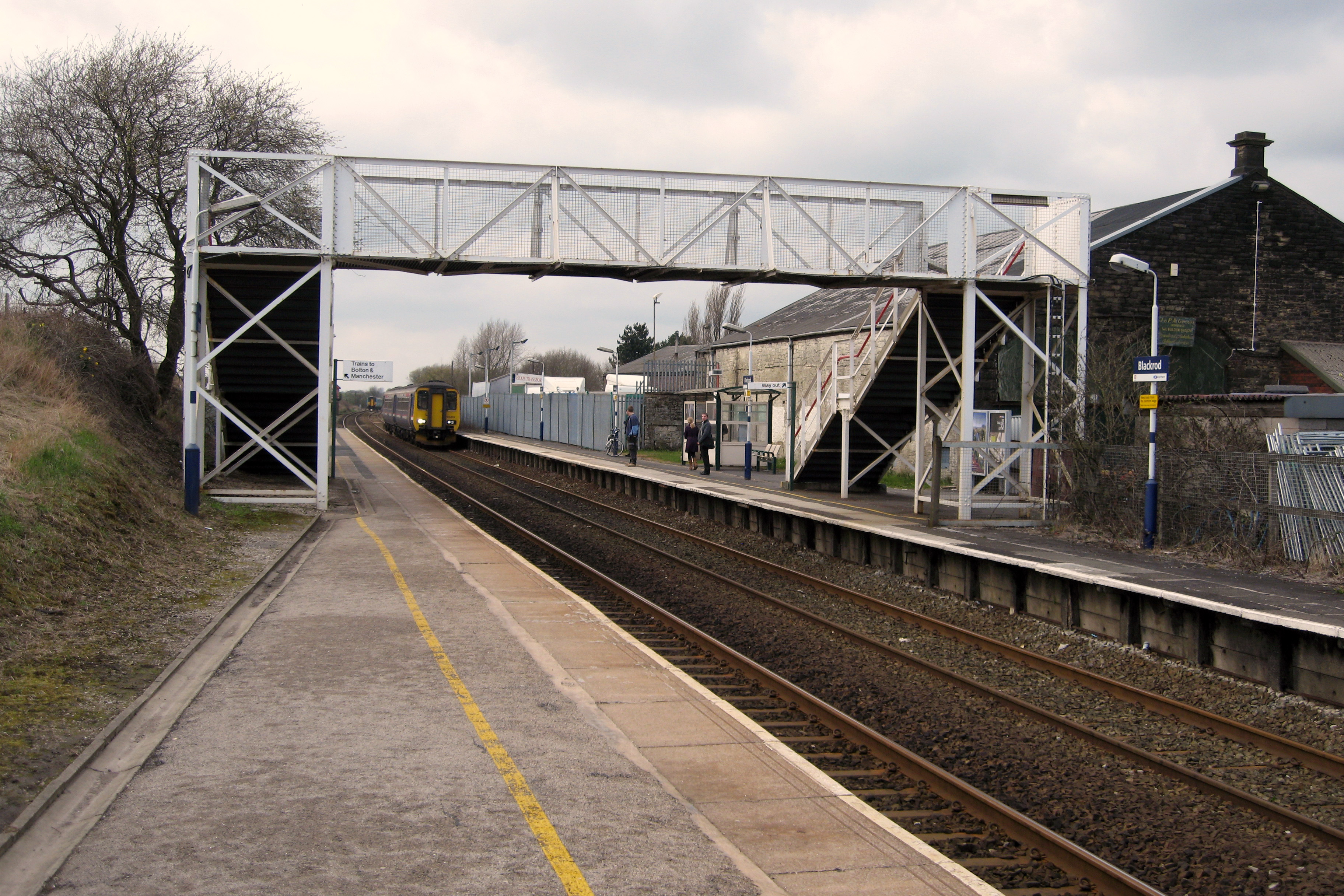
Blackrod railway station
Blackrod railway station serves the towns of Blackrod and Horwich, Greater Manchester, England. It is 6.5 miles (10 km ) north west of Bolton railway station...

Blackrod Urban District
Blackrod was, from 1872 to 1974, a local government district centred on the village of Blackrod in the administrative county of Lancashire, England....

Blackrod
Blackrod is a town and civil parish situated within the Metropolitan Borough of Bolton in Greater Manchester, England. Nestled in the historic County of...
Red Moss, Greater Manchester
Red Moss is a wetland mossland in Greater Manchester, located south of Horwich and east of Blackrod. This is a national Site of Special Scientific Interest...
Nearby Amenities
Located within 500m of 53.580284,-2.568514Have you been to Scot Lane End?
Leave your review of Scot Lane End below (or comments, questions and feedback).