Blaencarno
Settlement in Glamorgan
Wales
Blaencarno

Blaencarno is a small village located in the county of Glamorgan, Wales. Situated in the picturesque countryside, it is surrounded by rolling hills and lush green landscapes. The village is part of the scenic South Wales Valleys region, known for its natural beauty and rich mining history.
With a population of around 500 residents, Blaencarno offers a peaceful and close-knit community atmosphere. The village predominantly consists of traditional stone houses and cottages, reflecting its historical roots. The local architecture is a blend of traditional Welsh styles and more modern structures.
The main focal point of Blaencarno is the village square, where the community gathers for events and social gatherings. It features a small selection of local shops and amenities, including a post office, convenience store, and a few traditional pubs.
Nature enthusiasts will find plenty to explore in the surrounding area. Blaencarno is located near the Brecon Beacons National Park, offering opportunities for hiking, cycling, and wildlife spotting. The nearby Taff Trail, a popular walking path, provides stunning views of the River Taff and its surrounding countryside.
Blaencarno is well-connected to neighboring towns and cities via road links, making it convenient for residents and visitors alike. The village also benefits from regular bus services, providing easy access to nearby amenities and attractions.
Overall, Blaencarno is a charming and picturesque village, offering a peaceful retreat in the heart of the Welsh countryside.
If you have any feedback on the listing, please let us know in the comments section below.
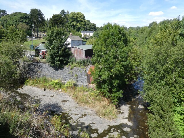
Blaencarno Images
Images are sourced within 2km of 51.770805/-3.317074 or Grid Reference SO0908. Thanks to Geograph Open Source API. All images are credited.


Blaencarno is located at Grid Ref: SO0908 (Lat: 51.770805, Lng: -3.317074)
Unitary Authority: Caerphilly
Police Authority: Gwent
Also known as: Blaen Carno
What 3 Words
///careless.compliant.salutes. Near Rhymney, Caerphilly
Nearby Locations
Related Wikis

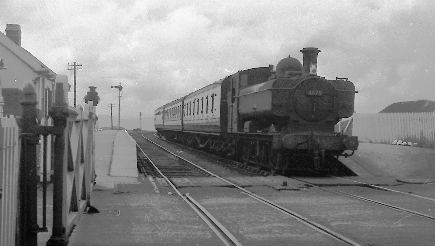
Pantywaun Halt railway station
Pantywaun Halt railway station served the hamlet of Pantywaun and village of Bute Town, Caerphilly, Wales on the Brecon and Merthyr Tydfil Junction Railway...
Bute Town
Bute Town (Welsh: Drenewydd "New Town") is a village in the county borough of Caerphilly, near Rhymney, in Wales. Locally, Bute Town is spoken and written...
Dowlais Top (LNWR) railway station
Dowlais Top (LNWR) railway station served the village of Dowlais, Merthyr Tydfil, Wales from 1862 to 1962 on the Merthyr, Tredegar and Abergavenny Railway...
Dowlais Top railway station
Dowlais Top railway station served the village of Dowlais, Glamorgan, Wales, from 1867 to 1962 on the Brecon and Merthyr Tydfil Junction Railway. ��2...
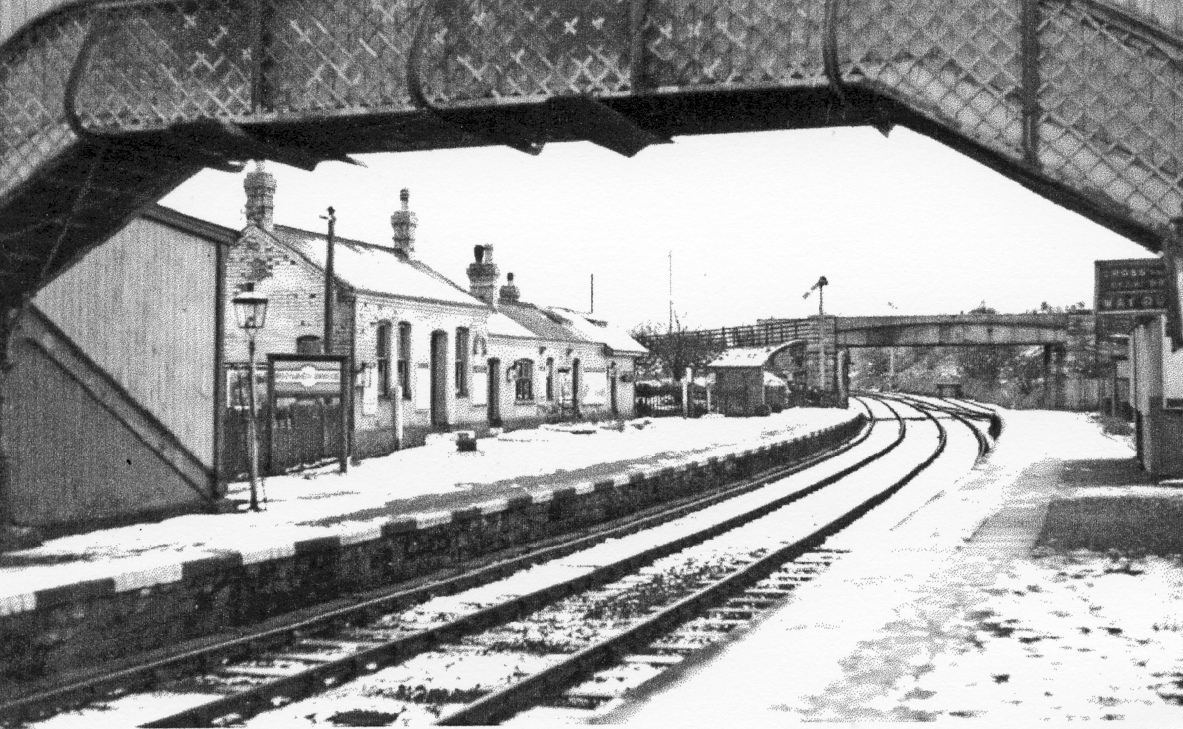
Rhymney Bridge railway station
Rhymney Bridge railway station was a station on the London and North Western Railway's Heads of the Valleys line serving the village of Llechrhyd in the...
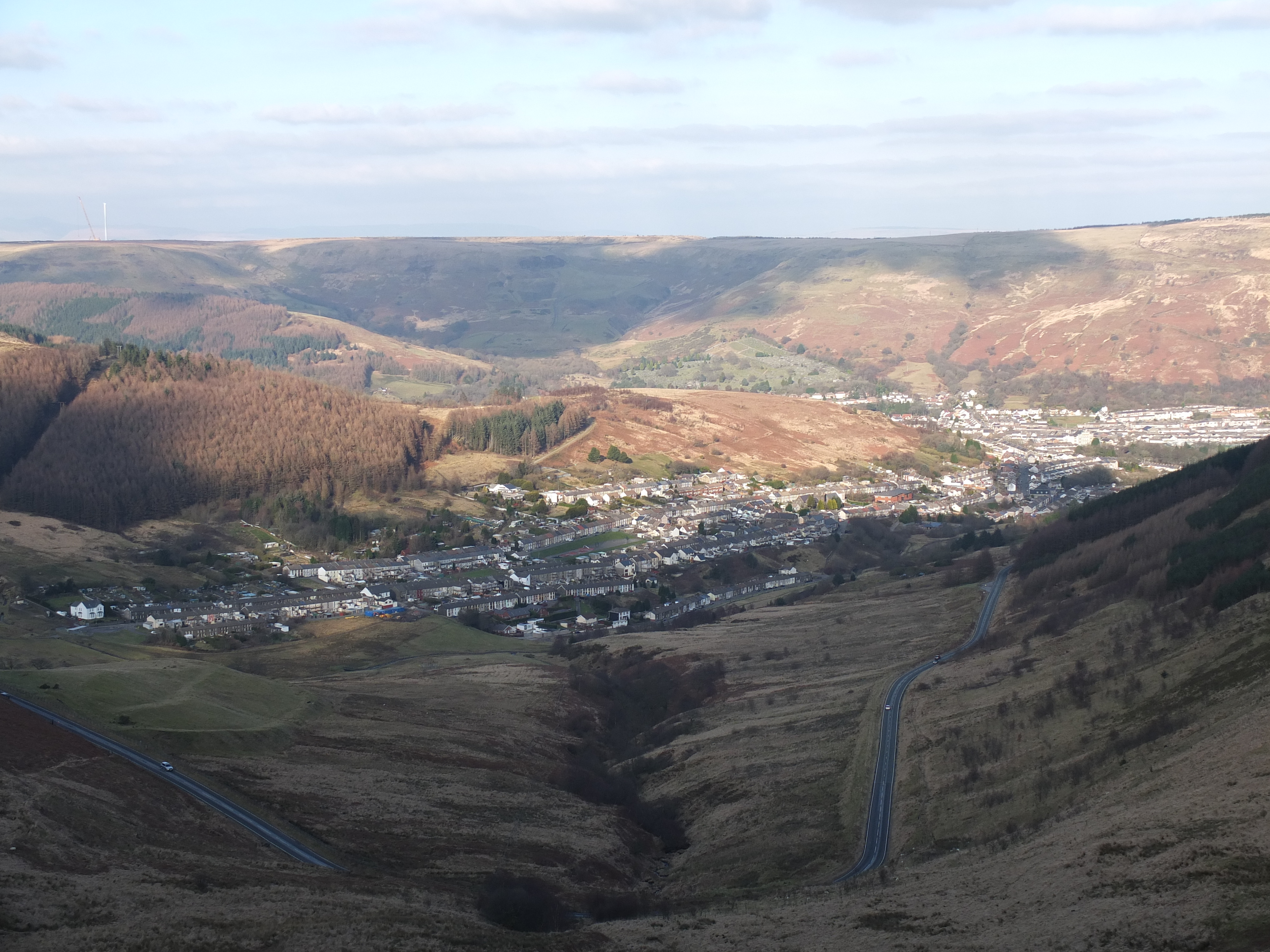
South Wales Valleys
The South Wales Valleys (Welsh: Cymoedd De Cymru) are a group of industrialised peri-urban valleys in South Wales. Most of the valleys run north–south...
Dowlais (High Street) railway station
Dowlais High Street railway station was a station that served the village of Dowlais, Merthyr Tydfil, Wales on the Merthyr, Tredegar and Abergavenny Railway...
Dowlais Cae Harris railway station
Dowlais Cae Harris railway station served the village of Dowlais, Glamorgan, Wales, from 1867 to 1964 on the Rhymney Railway. == History == The station...
Nearby Amenities
Located within 500m of 51.770805,-3.317074Have you been to Blaencarno?
Leave your review of Blaencarno below (or comments, questions and feedback).