Saracen's Head
Settlement in Lincolnshire South Holland
England
Saracen's Head
Saracen's Head is a small village located in the county of Lincolnshire, England. Situated on the banks of the River Welland, it is part of the South Holland district. The village is named after a historic coaching inn that once stood here, known as the Saracen's Head Hotel.
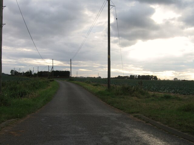
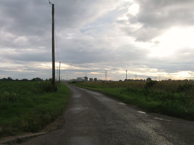
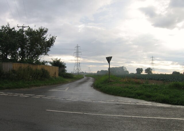
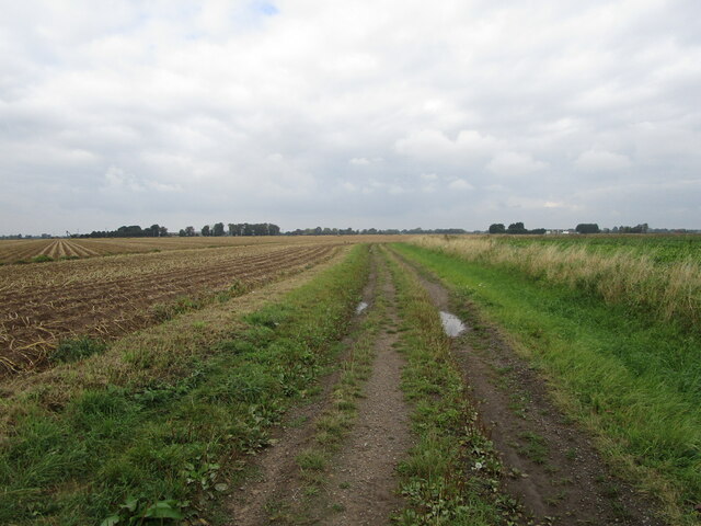
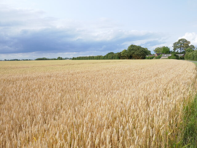
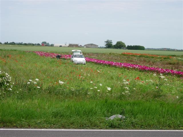
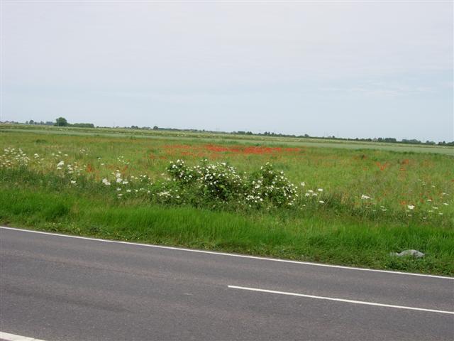
The main feature of Saracen's Head is its picturesque setting. Surrounded by rolling countryside, the village offers stunning views and a tranquil atmosphere. The River Welland flows through the village, providing opportunities for fishing and boating. The river also serves as a pleasant backdrop for leisurely walks along its banks.
Though small in size, Saracen's Head boasts a close-knit community. The village has a primary school, a village hall, and a local pub, which serves as a social hub for residents and visitors alike. The pub offers a warm and friendly atmosphere, serving traditional food and drinks.
In terms of amenities, Saracen's Head is conveniently located near larger towns and cities. Spalding, a market town, is only a short drive away and offers a wider range of shops, supermarkets, and leisure facilities.
Saracen's Head provides a peaceful and idyllic place to live or visit. Its natural beauty, friendly community, and proximity to larger towns make it an appealing destination for those seeking a quiet retreat in the heart of Lincolnshire.
If you have any feedback on the listing, please let us know in the comments section below.
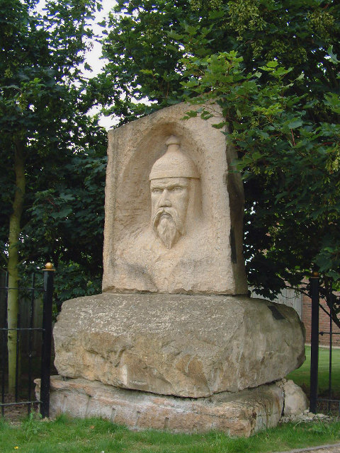
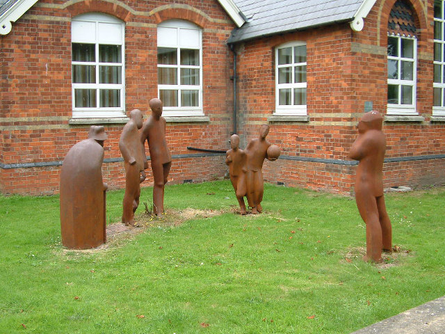
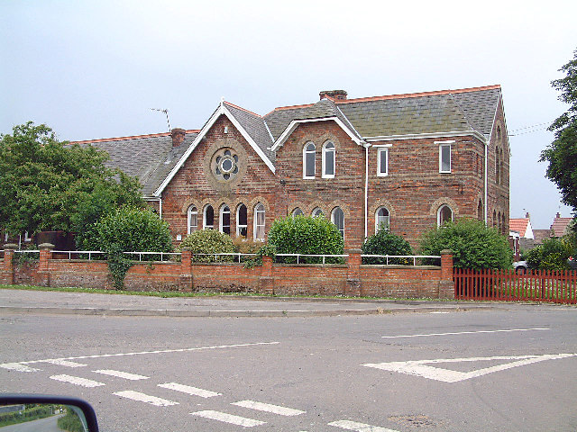
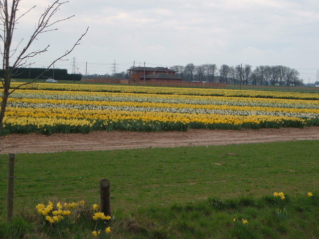
Saracen's Head Images
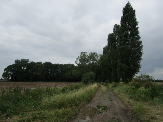
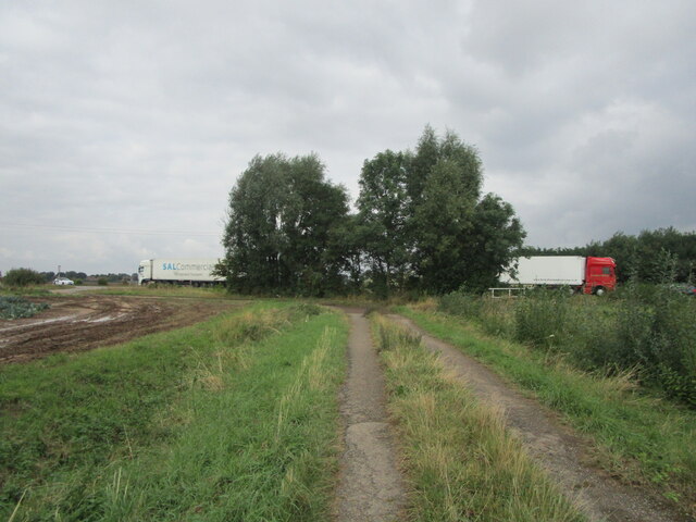
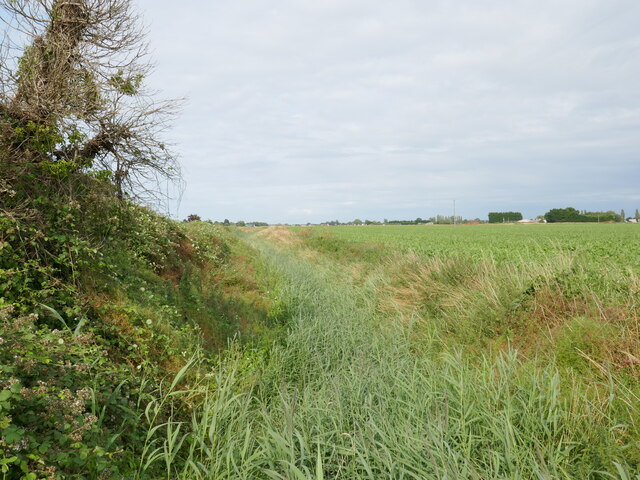
Images are sourced within 2km of 52.824892/-0.015656 or Grid Reference TF3327. Thanks to Geograph Open Source API. All images are credited.


Saracen's Head is located at Grid Ref: TF3327 (Lat: 52.824892, Lng: -0.015656)
Division: Parts of Holland
Administrative County: Lincolnshire
District: South Holland
Police Authority: Lincolnshire
What 3 Words
///decoding.outhouse.soil. Near Holbeach, Lincolnshire
Nearby Locations
Related Wikis

Holbeach Clough
Holbeach Clough (today synonymous with Saracen's Head) is a fenland village in the South Holland district of Lincolnshire, England. It is just under 2...

Moulton Seas End
Moulton Seas End is a village in the civil parish of The Moultons and the South Holland district of Lincolnshire, England. It is 5 miles (8 km) north...

Parts of Holland
The Parts of Holland is a historical division of Lincolnshire, England, encompassing the south-east of the county. The name is still recognised locally...

Holbeach Bank
Holbeach Bank is a fenland village in the South Holland district of Lincolnshire, England. It is just under 2 miles (3 km) north from the market town of...
Related Videos
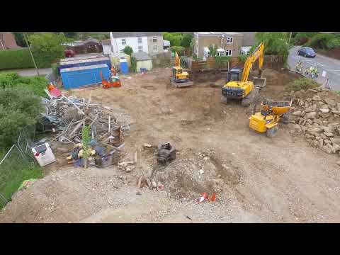
Whaplode Service Station
Demolition and site clearance at Whaplode Service Station.

Can I really turn 2seats into a Double bed in under 60 seconds. Watch to find out 😂
How easy is it to make a double bed in our Mountain Tourer. Check out our other videos to see as a double. Visit our website ...
Nearby Amenities
Located within 500m of 52.824892,-0.015656Opposite Village Hall.
Have you been to Saracen's Head?
Leave your review of Saracen's Head below (or comments, questions and feedback).