Sanclêr
Settlement in Carmarthenshire
Wales
Sanclêr

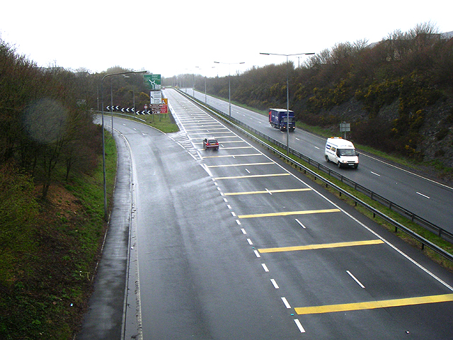
Sanclêr, also known as St. Clears, is a picturesque town located in Carmarthenshire, Wales. Situated on the banks of the River Tâf, it is approximately 10 miles northwest of the county town, Carmarthen. With a population of around 2,600, the town offers a charming and tranquil setting.
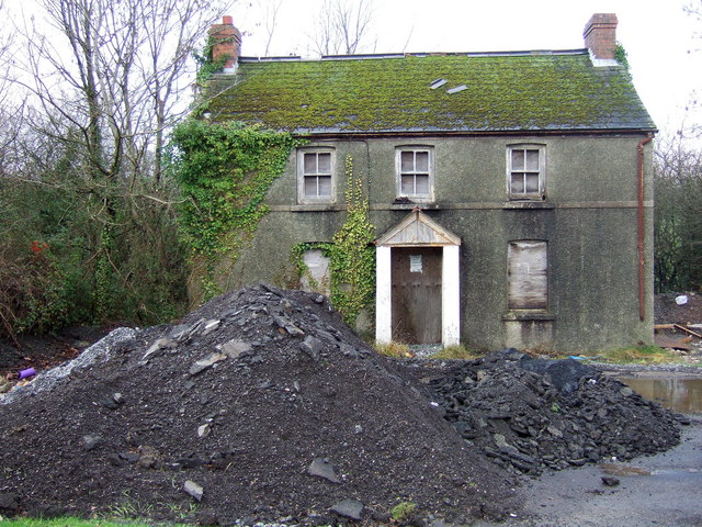
Historically, Sanclêr was an important market town, serving as a hub for agricultural trade. Today, it still retains its market heritage with a weekly market held in the town square. The town's narrow streets are lined with traditional buildings that showcase its rich history, including the 12th-century St. Clears Castle ruins, which provide a glimpse into the town's medieval past.
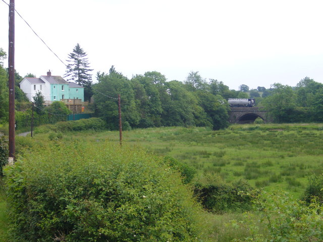
Nature lovers will find plenty to explore in the surrounding area. The nearby Taf Estuary is a haven for birdwatchers, with a variety of species making their home in the marshlands. For those seeking outdoor activities, the Preseli Hills and the Pembrokeshire Coast National Park are within easy reach, offering stunning landscapes and hiking opportunities.
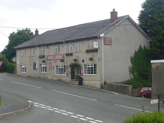
Sanclêr is also known for its vibrant local community and lively events. The annual St. Clears Carnival attracts visitors from near and far, with its colorful procession and festive atmosphere. The town also hosts various music festivals, arts exhibitions, and agricultural shows throughout the year.
With its idyllic location, rich history, and welcoming community, Sanclêr is a hidden gem that offers visitors a taste of rural Welsh life.
If you have any feedback on the listing, please let us know in the comments section below.
Sanclêr Images
Images are sourced within 2km of 51.820046/-4.493781 or Grid Reference SN2816. Thanks to Geograph Open Source API. All images are credited.


Sanclêr is located at Grid Ref: SN2816 (Lat: 51.820046, Lng: -4.493781)
Unitary Authority: Carmarthenshire
Police Authority: Dyfed Powys
Also known as: St Clears
What 3 Words
///coil.chipper.verdict. Near St Clears, Carmarthenshire
Nearby Locations
Related Wikis
St Clears
St Clears ( KLAIRZ; Welsh: Sanclêr) is a town on the River Taf and a community in Carmarthenshire, Wales. At the 2011 census, the population was 2,995...
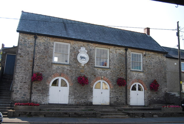
St Clears Town Hall
St Clears Town Hall (Welsh: Neuadd y Dref Sanclêr) is a municipal building in the High Street, St Clears, Carmarthenshire, Wales. The structure, which...
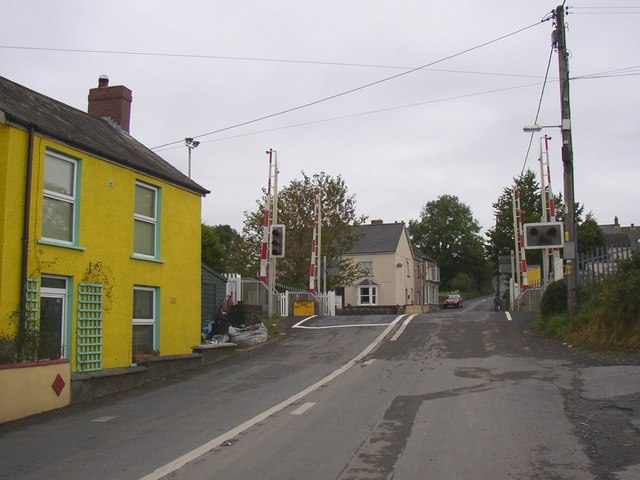
St Clears railway station
St Clears railway station served the town of St Clears, Carmarthenshire, Wales between 1854 and 1964. It was on the West Wales Line. == History == The...

Great Western Railway in West Wales
The Great Western Railway was a railway company that was dominant in West Wales, in the United Kingdom. The main line from Swansea to Neyland, a port on...
Nearby Amenities
Located within 500m of 51.820046,-4.493781Have you been to Sanclêr?
Leave your review of Sanclêr below (or comments, questions and feedback).