Samuelston
Settlement in East Lothian
Scotland
Samuelston

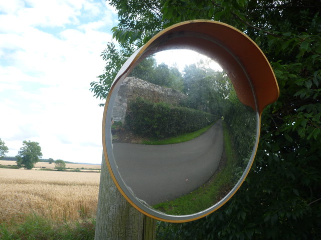
Samuelston is a small village located in East Lothian, Scotland. Situated approximately 14 miles east of Edinburgh, it lies within close proximity to the North Sea coast. With a population of around 1,200 residents, Samuelston offers a peaceful and picturesque setting.
The village is known for its charming rural character, surrounded by rolling hills and farmland. It is a popular destination for outdoor enthusiasts, offering numerous walking and cycling routes that showcase the beauty of the East Lothian countryside. The nearby Lammermuir Hills also provide excellent opportunities for hiking and wildlife observation.
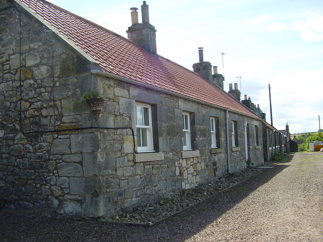
Despite its small size, Samuelston maintains a strong sense of community. The village features a range of amenities including a primary school, a community center, and a local pub. Residents enjoy a quiet and tranquil lifestyle, away from the hustle and bustle of larger towns and cities.
Samuelston's location makes it an ideal base for exploring the wider East Lothian area. Nearby attractions include the historic town of Haddington, with its medieval architecture and vibrant market square. Golf enthusiasts can also take advantage of the numerous renowned golf courses in the region, including Muirfield and Gullane.
Overall, Samuelston offers a charming and peaceful setting, making it an attractive place to reside for those seeking a slower pace of life in a picturesque Scottish village.
If you have any feedback on the listing, please let us know in the comments section below.
Samuelston Images
Images are sourced within 2km of 55.92897/-2.8276536 or Grid Reference NT4870. Thanks to Geograph Open Source API. All images are credited.


Samuelston is located at Grid Ref: NT4870 (Lat: 55.92897, Lng: -2.8276536)
Unitary Authority: East Lothian
Police Authority: The Lothians and Scottish Borders
What 3 Words
///engrossed.lamp.occupiers. Near Haddington, East Lothian
Nearby Locations
Related Wikis
Samuelston
Samuelston (Scots: Sammelstoun) is a small town just outside of Haddington, East Lothian. It has a population of 957. George Ker, laird of Samuelston,...

Herdmanston House
Herdmanston House was a castle and later tower house located in the parish of Saltoun, East Lothian in Scotland.The lands of Herdmanston were held by the...

Bolton, East Lothian
Bolton is a hamlet and the third smallest parish in East Lothian, Scotland. It lies approximately 2 miles (3.2 km) south of Haddington and 20 miles (32...

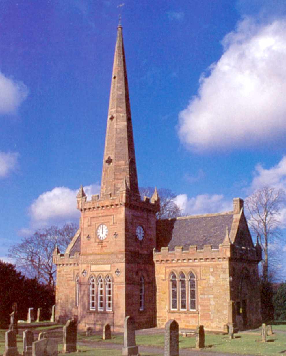
Bolton Parish Church, East Lothian
Bolton Parish Church is a church in Bolton, East Lothian, Scotland. It is part of the Church of Scotland and (along with Yester Church Saltoun Parish Church...
Saltoun Parish Church
Saltoun Parish Church is a church in East Saltoun, East Lothian, Scotland. It is part of the Church of Scotland, and (along with Yester Church and Bolton...

Lennoxlove House
Lennoxlove House is a historic house set in woodlands half a mile south of Haddington in East Lothian, Scotland. The house comprises a 15th-century tower...

Gladsmuir
Gladsmuir is a village and parish in East Lothian, Scotland, situated on the A199 and near Tranent and Prestonpans. == Description == Gladsmuir's principal...
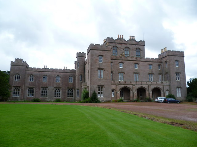
Saltoun Hall
Saltoun Hall is an historic house standing in extensive lands off the B6355, Pencaitland to East Saltoun road, about 1.5 miles from each village, in East...
Nearby Amenities
Located within 500m of 55.92897,-2.8276536Have you been to Samuelston?
Leave your review of Samuelston below (or comments, questions and feedback).