Blackwater
Settlement in Hampshire Hart
England
Blackwater
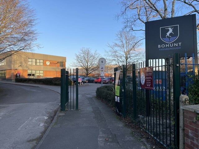
Blackwater is a small village located in the county of Hampshire, England. Situated approximately 3 miles west of the town of Farnborough, Blackwater is part of the Hart district. The village is primarily residential, with a population of around 3,000 people.
Blackwater benefits from its close proximity to major transportation routes, including the M3 motorway, which provides easy access to London and the South Coast. The nearby Blackwater railway station offers regular services to destinations such as Reading and Gatwick Airport, making it a convenient location for commuters.
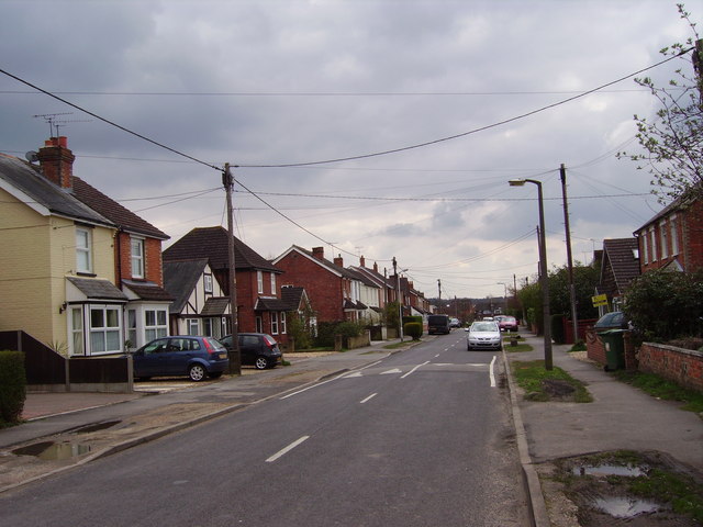
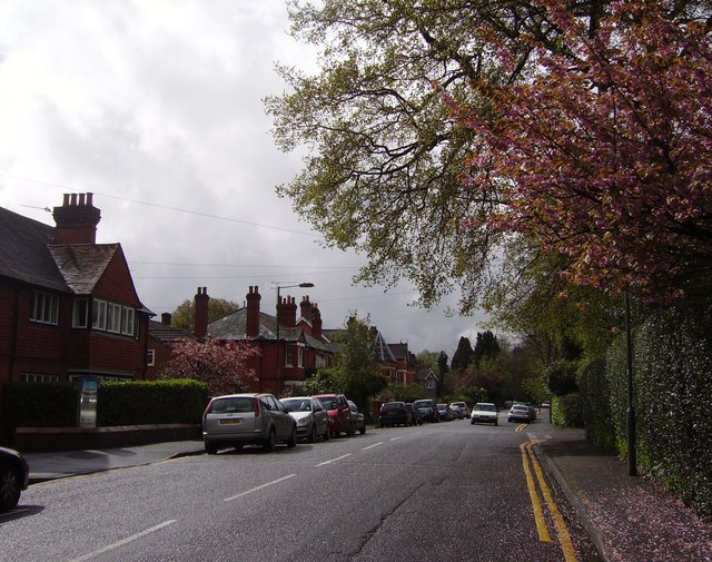
The village itself is characterized by a mix of housing types, including traditional cottages, modern developments, and some historic buildings. There are several amenities available to residents, including shops, restaurants, and pubs. The nearby towns of Farnborough and Camberley offer additional shopping and leisure facilities.
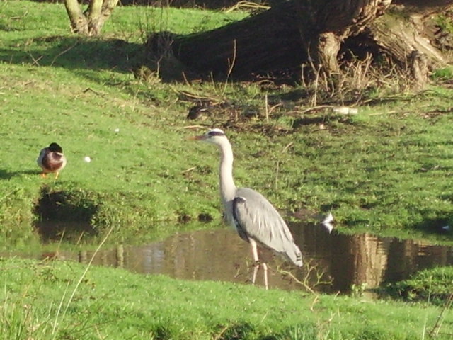
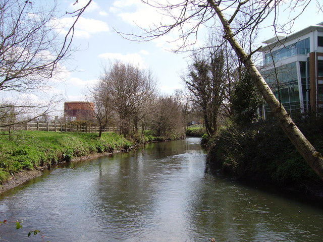
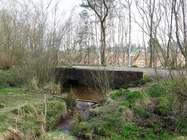
Nature enthusiasts will appreciate Blackwater's proximity to the beautiful Hawley Lake and Hawley Meadows, which provide opportunities for outdoor activities such as walking, fishing, and birdwatching. The village also benefits from its proximity to the picturesque Surrey Hills Area of Outstanding Natural Beauty, which offers stunning landscapes and numerous hiking trails.
Overall, Blackwater is a quiet and well-connected village in Hampshire, offering a pleasant living environment with easy access to amenities and natural attractions.
If you have any feedback on the listing, please let us know in the comments section below.
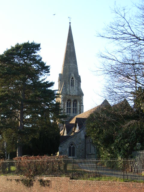
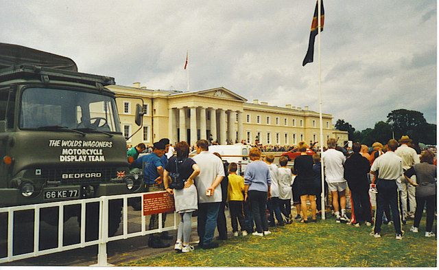
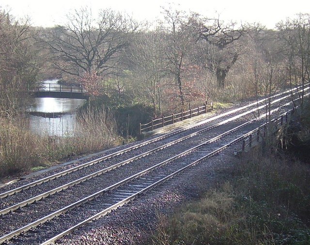
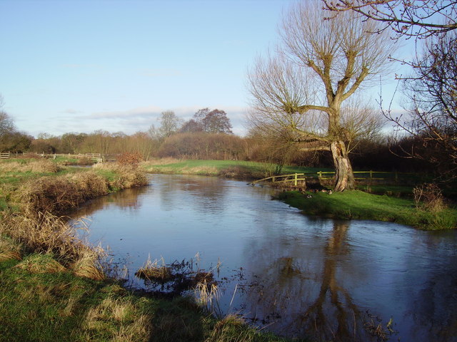
Blackwater Images
Images are sourced within 2km of 51.328126/-0.774242 or Grid Reference SU8559. Thanks to Geograph Open Source API. All images are credited.


Blackwater is located at Grid Ref: SU8559 (Lat: 51.328126, Lng: -0.774242)
Administrative County: Hampshire
District: Hart
Police Authority: Hampshire
What 3 Words
///satellite.stored.modifies. Near Sandhurst, Berkshire
Nearby Locations
Related Wikis

Blackwater, Hampshire
Blackwater is a small town in the northeastern corner of Hampshire, England, lying in the county's Hart District. Considered to be part of the Farnborough/Aldershot...
Wish Stream
Wish Stream is a small, steep English river, which is a tributary of the River Blackwater. Mostly it demarcates Berkshire and Surrey. It rises on heath...
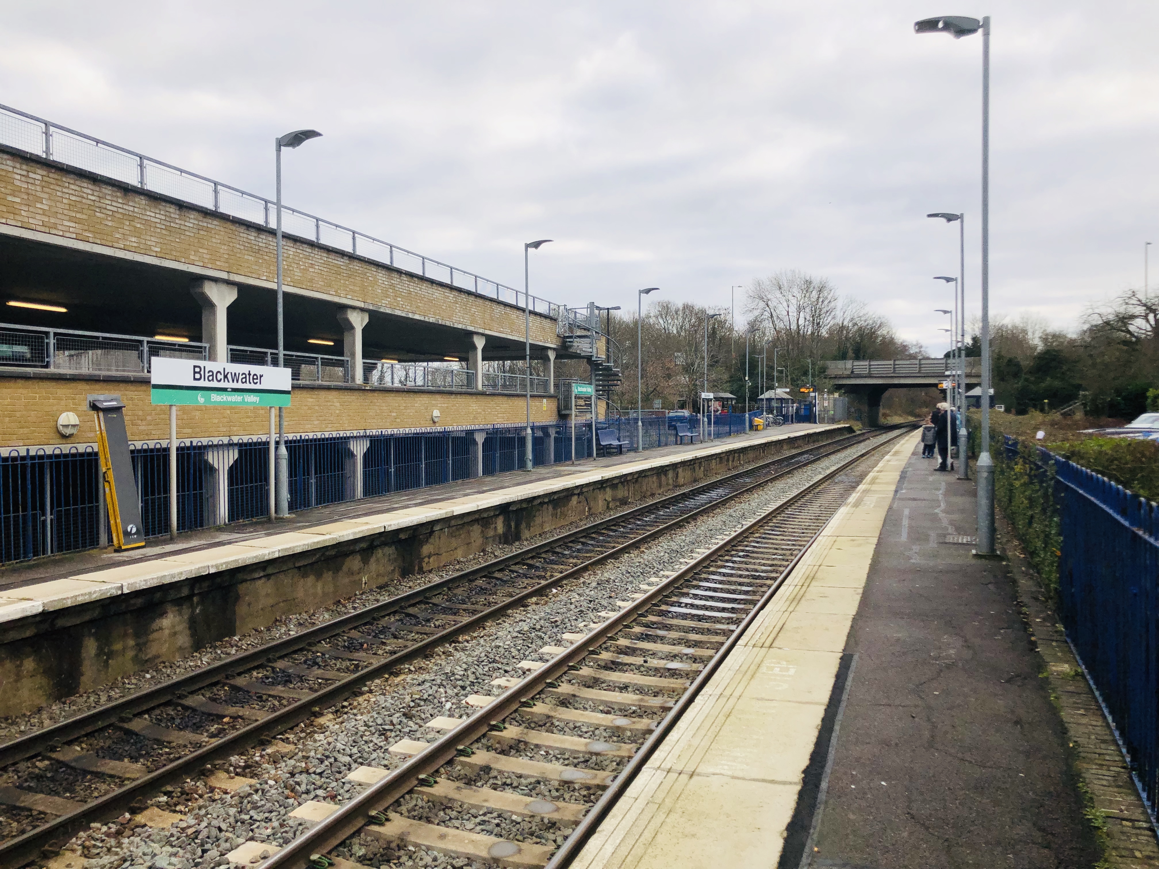
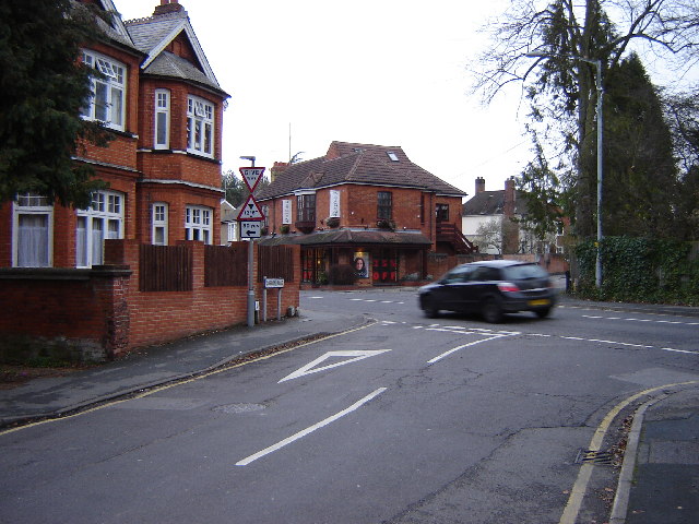
Blackwater railway station
Blackwater railway station is a railway station in Blackwater, a town on the borders of Hampshire, Surrey and Berkshire in England. The station is managed...

The Concrete Elephant
The Concrete Elephant is a sculpture and local landmark standing along the A30 in Camberley on approach to The Meadows roundabout. It was created by Barbara...
Watchmoor
Watchmoor is an area in Camberley, Surrey, England, off the A331 Blackwater Valley Road. It is located opposite the Blackwater Valley Path. It is split...

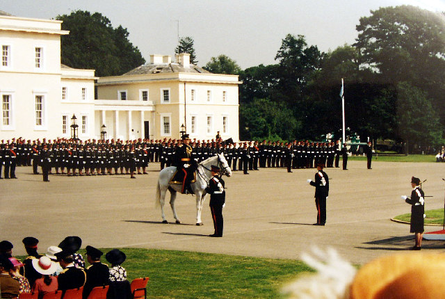
Royal Military Academy Ground
Royal Military Academy Ground is a cricket ground in Sandhurst, Berkshire near Camberley, Surrey. The ground itself is located within the grounds of the...
Bagshot F.C.
Bagshot Football Club is a football club based in Bagshot, near Camberley in Surrey, England. They are currently members of the Combined Counties League...
Camberley Town F.C.
Camberley Town Football Club is a semi-professional football based in Camberley, Surrey, England. They are currently members of the Combined Counties League...
Nearby Amenities
Located within 500m of 51.328126,-0.774242Have you been to Blackwater?
Leave your review of Blackwater below (or comments, questions and feedback).