Salford Ford

Settlement in Bedfordshire

England

Salford Ford

Cranfield Road, Salford This is the first time I have seen a teardrop shaped island.
Cranfield Road, Salford Credit: David Howard

Salford Ford is a small village located in the county of Bedfordshire, England. Situated in the southern part of the county, it is nestled amidst picturesque countryside and offers a tranquil and idyllic setting for its residents.

The village is home to a population of approximately 500 people, making it a close-knit and friendly community. Salford Ford is known for its strong sense of community spirit, with various events and activities organized throughout the year to bring residents together. The village has a vibrant social scene, with a local pub serving as a popular meeting place for locals and visitors alike.

Despite its small size, Salford Ford boasts a range of amenities to cater to the needs of its residents. These include a primary school, a village hall, and a small convenience store that provides essential groceries and everyday supplies. For larger shopping needs, residents can easily access nearby towns and cities such as Bedford and Milton Keynes, both within a short drive.

The surrounding countryside offers ample opportunities for outdoor activities, with several nature trails and walking paths available for residents to explore and enjoy. The village is also located near the River Ouse, providing additional recreational opportunities such as fishing and boating.

Overall, Salford Ford is a charming and peaceful village that offers its residents a close-knit community, beautiful surroundings, and a range of amenities for a comfortable and fulfilling lifestyle.

If you have any feedback on the listing, please let us know in the comments section below.
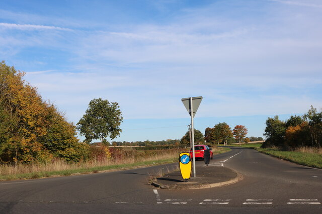
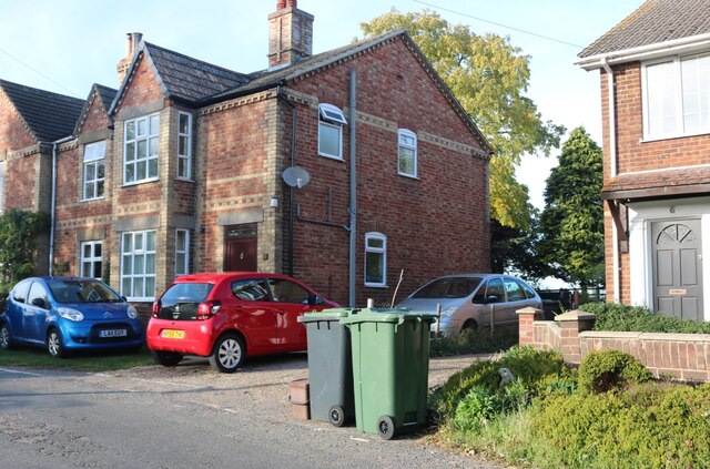
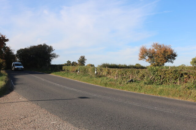
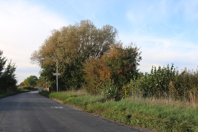
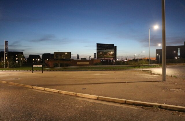
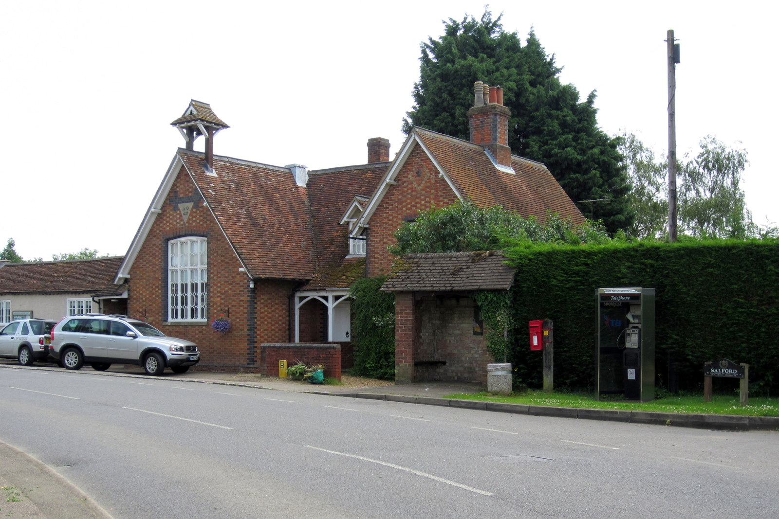
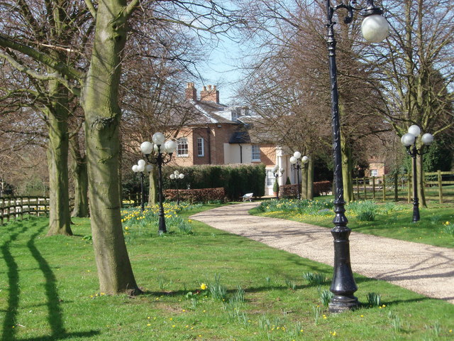
Salford Ford Images

Images are sourced within 2km of 52.040151/-0.639675 or Grid Reference SP9338. Thanks to Geograph Open Source API. All images are credited.

Cranfield Road, Salford This is the first time I have seen a teardrop shaped island.
Cranfield Road, Salford
This is the first time I have seen a teardrop shaped island.
Minor road crossing M1 southbound
Matrix board - M1 southbound
Minor Road crossing M1 southbound
Matrix board - M1 southbound
Houses on Broughton Road, Salford
New houses under construction on Broughton Road, Milton Keynes The area is expanding into this field in the last year.
New houses under construction on Broughton Road, Milton Keynes
The area is expanding into this field in the last year.
Willow tree on Cranfield Road, Salford
Salford Road, Hulcote
Bungalow on Salford Road, Hulcote
Salford Road, Hulcote
Broughton Road leaving Salford Heading to Broughton and Milton Keynes
Broughton Road leaving Salford
Heading to Broughton and Milton Keynes
Magna Park Roundabout, Wavendon
Burney Drive, Wavendon
Eagle Farm Roundabout, Wavendon From Burney Drive, looking towards the H&M warehouse.
Eagle Farm Roundabout, Wavendon
From Burney Drive, looking towards the H&M warehouse.
Show me another place!

Salford Ford is located at Grid Ref: SP9338 (Lat: 52.040151, Lng: -0.639675)

Unitary Authority: Central Bedfordshire

Police Authority: Bedfordshire

What 3 Words

///shredder.froth.post. Near Woburn Sands, Buckinghamshire

Nearby Locations

Salford Ford

Related Wikis

Church of St Mary the Virgin, Salford, Bedfordshire

Church of St Mary the Virgin is a Grade I listed church in Salford, Bedfordshire, England. It is still standing in 2024. == See also == Grade I listed...

Salford, Bedfordshire

Salford () is a village and former civil parish, now in the parish of Hulcote and Salford, in the Central Bedfordshire district, in the ceremonial county...

Hulcote and Salford

Hulcote and Salford is a civil parish in the district of Central Bedfordshire in the county of Bedfordshire. The parish was formed in 1933 by the union...

Eagle Farm, Milton Keynes

Eagle Farm is a district of south-east Milton Keynes in Buckinghamshire, England, within the Wavendon civil parish. It was constructed to help the Milton...

Nearby Amenities

Located within 500m of 52.040151,-0.639675
Turning Circle
Turning Circle: hammer
Lat/Long: 52.0434766/-0.6348609
Parking
Mary Agate Hall Car Park
Access: customers
Parking: surface
Lat/Long: 52.0433634/-0.63621
Post Box
Brand: Royal Mail
Brand Wikidata: Q638098
Brand Wikipedia: en:Royal Mail
Collection Times: Mo-Fr 16:30; Sa 08:00
Operator: Royal Mail
Operator Wikidata: Q638098
Post Box Type: wall
Ref: MK17 190
Royal Cypher: EIIR
Royal Cypher Wikidata: Q33102113
Source: survey
Lat/Long: 52.0404068/-0.6405718
Post Box
Brand: Royal Mail
Brand Wikidata: Q638098
Brand Wikipedia: en:Royal Mail
Collection Times: Mo-Fr 16:30; Sa 09:15
Operator: Royal Mail
Operator Wikidata: Q638098
Post Box Type: lamp
Ref: MK17 167
Royal Cypher: EIIR
Royal Cypher Wikidata: Q33102113
Source: survey
Lat/Long: 52.0431065/-0.6365399
Bus Stop
Bus: yes
Naptan AtcoCode: 021020525
Naptan NaptanCode: ahlajtwm
Public Transport: platform
Shelter: yes
Lat/Long: 52.0431263/-0.6365135
Barrier: kissing_gate
Lat/Long: 52.0429985/-0.6415666
Barrier: kissing_gate
Lat/Long: 52.0426883/-0.6396998
Barrier: kissing_gate
Lat/Long: 52.0389005/-0.6328119
Barrier: kissing_gate
Lat/Long: 52.0394613/-0.6366153
Barrier: kissing_gate
Lat/Long: 52.0412431/-0.6338741
Barrier: stile
Lat/Long: 52.0414568/-0.6337346
Barrier: yes
Lat/Long: 52.0440463/-0.6433153
Direction: 190
Generator Method: photovoltaic
Generator Output Electricity: yes
Generator Solar Modules: 16
Generator Source: solar
Generator Type: solar_photovoltaic_panel
Location: roof
Power: generator
Lat/Long: 52.0433434/-0.6349541
Fixme: solar panel?
Lat/Long: 52.0428513/-0.63582
Direction: 185
Generator Method: photovoltaic
Generator Output Electricity: yes
Generator Solar Modules: 12
Generator Source: solar
Generator Type: solar_photovoltaic_panel
Location: roof
Power: generator
Lat/Long: 52.0432465/-0.6397487
Fixme: solar panel?
Lat/Long: 52.0434849/-0.6383983
Speed Camera
Maxspeed: 70 mph
Maxspeed Type: GB:motorway
Lat/Long: 52.0368362/-0.6431187
Speed Camera
Maxspeed: 70 mph
Maxspeed Type: GB:motorway
Lat/Long: 52.0372085/-0.6440331
The data included in this document is from www.openstreetmap.org. The data is made available under ODbL.

Have you been to Salford Ford?

Leave your review of Salford Ford below (or comments, questions and feedback).