Saith Ffynnon

Settlement in Flintshire

Wales

Saith Ffynnon

Giat ar batrwm croes / A cross-barred gate
Giat ar batrwm croes / A cross-barred gate Credit: Ceri Thomas

Saith Ffynnon is a small village located in the county of Flintshire, in northeast Wales, United Kingdom. Situated about 6 miles west of the town of Mold, Saith Ffynnon is nestled in the picturesque countryside, surrounded by rolling hills and green fields.

The village is known for its tranquil and idyllic setting, making it a popular destination for those seeking a peaceful retreat from the bustling city life. Saith Ffynnon is home to a close-knit community, with a population of around 400 residents.

The village is steeped in history, with evidence of human settlement dating back to the Bronze Age. The name "Saith Ffynnon" translates to "Seven Springs" in English, referring to the seven natural springs that can be found in the vicinity. These springs have long been a source of fresh water for the village, and they continue to flow to this day.

One of the notable landmarks in Saith Ffynnon is the St. Mary's Church, a charming medieval church that dates back to the 13th century. Its architecture and historical significance make it a site of interest for visitors and locals alike.

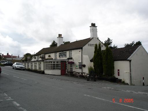
While Saith Ffynnon may be a small village, it offers a range of amenities and services for its residents. These include a primary school, a community center, and a village pub where locals gather to socialize. The surrounding countryside also provides ample opportunities for outdoor activities such as hiking, cycling, and horse riding.

Overall, Saith Ffynnon is a peaceful and picturesque village, where history, natural beauty, and community spirit come together to create a charming place to live or visit.

If you have any feedback on the listing, please let us know in the comments section below.

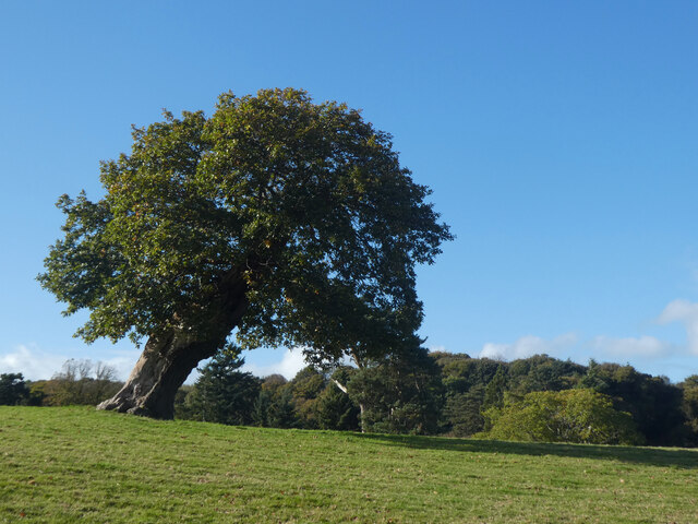
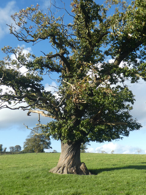
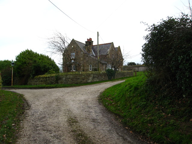
Saith Ffynnon Images

Images are sourced within 2km of 53.286292/-3.270791 or Grid Reference SJ1577. Thanks to Geograph Open Source API. All images are credited.

Giat ar batrwm croes / A cross-barred gate
Derwen ar ogwydd / A leaning oak
Rhisgl troellog castanwydden / A chestnut's twisted bark
A55 eastbound near Gorsedd
Pant Y Wacco Welcome to Pant Y Wacco, just off the A5026 near Gorsedd.
Pant Y Wacco
Welcome to Pant Y Wacco, just off the A5026 near Gorsedd.
Pasture land between Whitford and Holywell Typical scene for this area.  In the near distance to the left is Pennant Park Golf Club, to the right Highbrook,far centre - a view across the Dee Estuary to The Wirral
Pasture land between Whitford and Holywell
Typical scene for this area. In the near distance to the left is Pennant Park Golf Club, to the right Highbrook,far centre - a view across the Dee Estuary to The Wirral
Upper Downing Hall Once part of a country estate, recently a nursing home, now boarded up.  An abandoned wheelchair and walking frame on the forecourt were a poignant reminder of this building's last residents
Upper Downing Hall
Once part of a country estate, recently a nursing home, now boarded up. An abandoned wheelchair and walking frame on the forecourt were a poignant reminder of this building's last residents
Pond in grazing land North East of Whitford
Pond in grazing land
North East of Whitford
A5026 at Holywell Tyres
A5026 north of Gorsedd
A5026 looking to the Dee estuary and Liverpool beyond
A5026 at Carmel village boundary
Footpath (left) past Kennels Farm Heading east
Footpath (left) past Kennels Farm
Heading east
Large grazing field with a view Plas-tirion Wood is on the left and in the distance are lovely views across The Dee Estuary to The Wirral with Hilbre Island in the distant left
Large grazing field with a view
Plas-tirion Wood is on the left and in the distance are lovely views across The Dee Estuary to The Wirral with Hilbre Island in the distant left
Stile on a footpath leading from Kennels Farm Mertyn Isaf is in the background
Stile on a footpath leading from Kennels Farm
Mertyn Isaf is in the background
Mertyn-Crew Farm From a footpath stile which leads into a narrow track with footpaths south past Mertyn Crew or east past Mertyn Isaf
Mertyn-Crew Farm
From a footpath stile which leads into a narrow track with footpaths south past Mertyn Crew or east past Mertyn Isaf
10th Tee Pennant Park Golf Course A little gem of a course.
10th Tee Pennant Park Golf Course
A little gem of a course.
12th Tee Pennant Park Golf Course Mostyn Dock is just visible to the right.
12th Tee Pennant Park Golf Course
Mostyn Dock is just visible to the right.
Show me another place!

Saith Ffynnon is located at Grid Ref: SJ1577 (Lat: 53.286292, Lng: -3.270791)

Unitary Authority: Flintshire

Police Authority: North Wales

What 3 Words

///ounce.mainframe.frame. Near Whitford, Flintshire

Nearby Locations

Saith Ffynnon

Related Wikis

Gorsedd, Flintshire

Gorsedd is a village in Flintshire, Wales, in the community of Whitford, with a population of 391 in the 2011 census. == References ==

Church of St Beuno and St Mary

The Church of St Beuno and St Mary is a Grade I listed church in Whitford, overlooking the estuary of the river Dee. The church has a well preserved late...
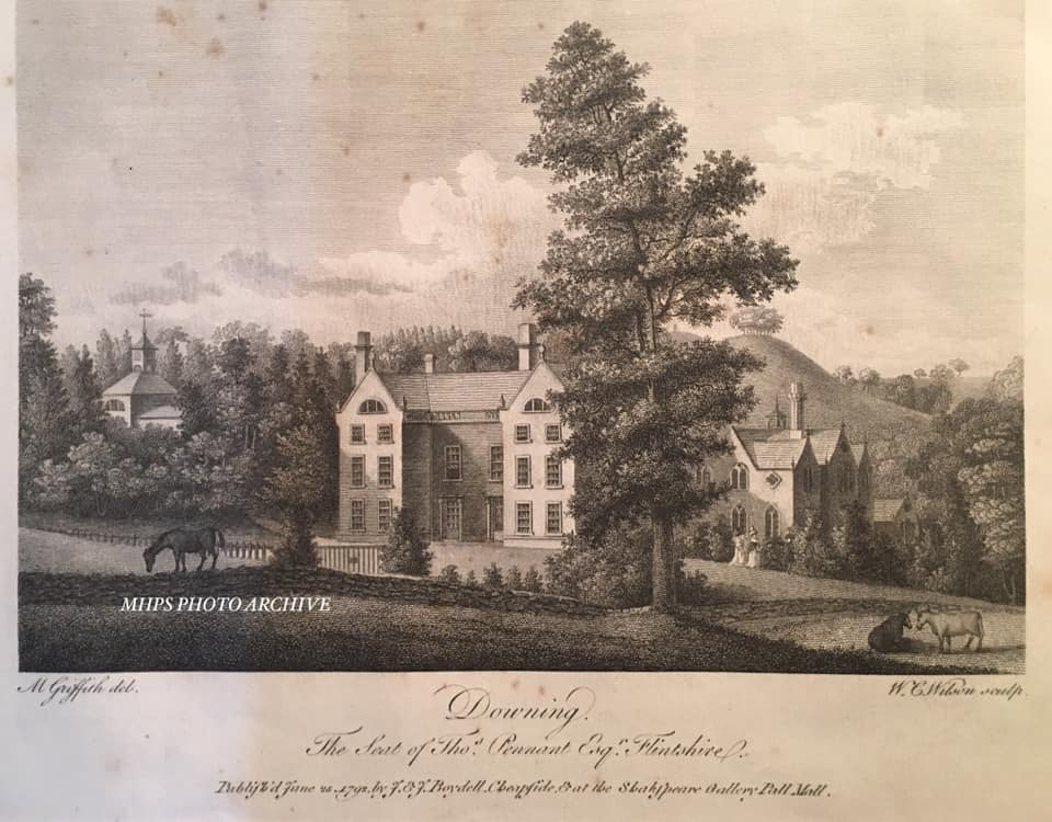
Downing Hall

Downing Hall was built in 1627 by the Pennant family near Whitford, Flintshire. It was later the home of Thomas Pennant, the naturalist, traveller and...

Whitford, Flintshire

Whitford (Welsh: Chwitffordd) is a village, community and an electoral ward near Holywell in Flintshire, northeast Wales. The population of both the community...

Nearby Amenities

Located within 500m of 53.286292,-3.270791
Saith Ffynnon
Place: hamlet
Lat/Long: 53.2865459/-3.2676959
Power: pole
Lat/Long: 53.2850397/-3.2716613
Power: pole
Lat/Long: 53.2839219/-3.2705845
Power: pole
Lat/Long: 53.2844134/-3.2710632
Power: pole
Lat/Long: 53.2857791/-3.2723913
Power: pole
Lat/Long: 53.2867791/-3.2735301
Power: pole
Lat/Long: 53.283487/-3.2708483
Power: pole
Lat/Long: 53.2905842/-3.2696464
Power: pole
Lat/Long: 53.2903788/-3.2684356
Power: pole
Lat/Long: 53.2902066/-3.2674189
Power: pole
Lat/Long: 53.2890509/-3.2699334
Power: pole
Lat/Long: 53.2898379/-3.2697919
Direction: SSW
Generator Method: photovoltaic
Generator Output Electricity: yes
Generator Solar Modules: 18
Generator Source: solar
Generator Type: solar_photovoltaic_panel
Location: roof
Power: generator
Lat/Long: 53.2895699/-3.2709982
Direction: 185
Generator Method: photovoltaic
Generator Output Electricity: yes
Generator Solar Modules: 8
Generator Source: solar
Generator Type: solar_photovoltaic_panel
Location: roof
Power: generator
Lat/Long: 53.2852262/-3.2655358
The data included in this document is from www.openstreetmap.org. The data is made available under ODbL.

Have you been to Saith Ffynnon?

Leave your review of Saith Ffynnon below (or comments, questions and feedback).