St Brides Major
Settlement in Glamorgan
Wales
St Brides Major

St Brides Major is a small village located in the county of Glamorgan, Wales. Situated in the southern part of the country, it lies within the Vale of Glamorgan, surrounded by beautiful rolling countryside and breathtaking views of the nearby coastline.
The village itself is steeped in history, with evidence of human habitation dating back to prehistoric times. It has retained its traditional charm, with a cluster of stone-built houses and a quaint village square. The local church, St Bridget's Church, is a prominent feature, boasting a stunning medieval tower and serving as a focal point for the community.
Despite its small size, St Brides Major offers a range of amenities for residents and visitors alike. The village is home to a well-regarded primary school, providing education for local children. There is also a village hall, which hosts various community events and activities throughout the year.
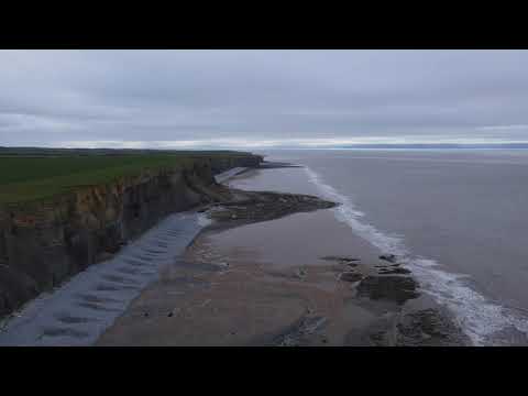
Nature enthusiasts are drawn to the area for its natural beauty. The nearby Heritage Coastline offers stunning walks along rugged cliffs and sandy beaches, providing opportunities for outdoor activities such as hiking, birdwatching, and surfing. The village is also surrounded by lush countryside, offering picturesque landscapes for those wishing to explore on foot or by bike.
Overall, St Brides Major is a charming village that offers a peaceful and idyllic setting, making it an attractive destination for those seeking a tranquil escape in the heart of the Welsh countryside.
If you have any feedback on the listing, please let us know in the comments section below.
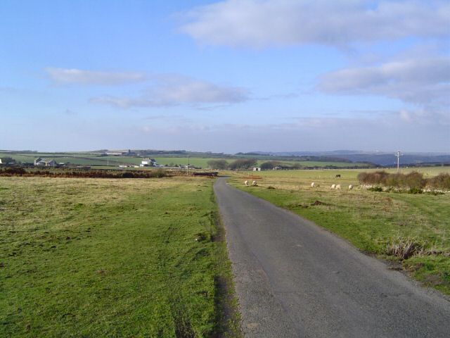
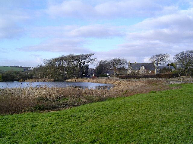
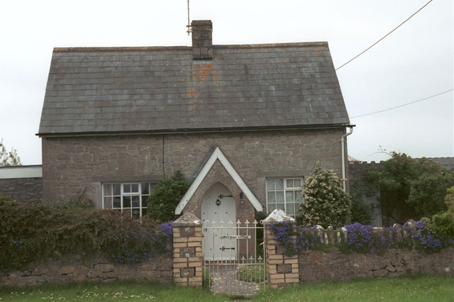
St Brides Major Images
Images are sourced within 2km of 51.461103/-3.5912142 or Grid Reference SS8974. Thanks to Geograph Open Source API. All images are credited.


St Brides Major is located at Grid Ref: SS8974 (Lat: 51.461103, Lng: -3.5912142)
Unitary Authority: The Vale of Glamorgan
Police Authority: South Wales
Also known as: Saint-y-brid
What 3 Words
///master.prompting.gosh. Near Merthyr Mawr, Bridgend
Nearby Locations
Related Wikis

St Brides Major (community)
St Brides Major (Welsh: Sant-y-Brid) is a community on the western edge of the Vale of Glamorgan, South Wales. Its largest settlement is the village of...

St Brides Major
St. Brides Major (Welsh: Sant-y-brid) is a village within the community also called St Brides Major in the Vale of Glamorgan in Wales. The village is located...

Coed y Bwl
Coed y Bwl is a Site of Special Scientific Interest in Glamorgan, south Wales. The site is managed by The Wildlife Trust of South and West Wales. It is...
Cnap Twt
Cnap Twt is a Site of Special Scientific Interest in the Vale of Glamorgan, south Wales. Located roughly three miles south of Bridgend near St Brides Major...
Related Videos
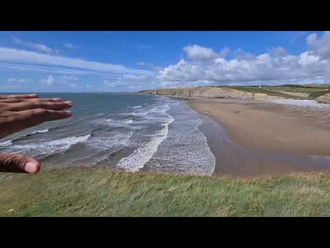
Dunraven Bay Beach Clear Water Walk Cliffs Outing Wales Attractions Visit Holiday
Very beautiful place to relax, outing and photography.
Walking Southerndown
Cinematic drone video of the fabulous coastline of Southerndown, South Wales.
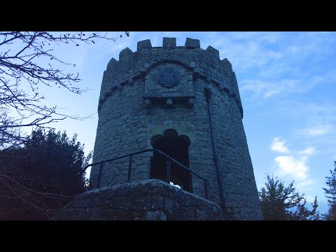
Castle Tour of DUNRAVEN CASTLE - Walking Tour in 4K
Wales Walking Tour No talking, just walking. Exploring the Welsh Countryside. Dunraven Bay enjoys great popularity and is ...

Nearby Amenities
Located within 500m of 51.461103,-3.5912142Have you been to St Brides Major?
Leave your review of St Brides Major below (or comments, questions and feedback).