Rye Park
Settlement in Hertfordshire Broxbourne
England
Rye Park

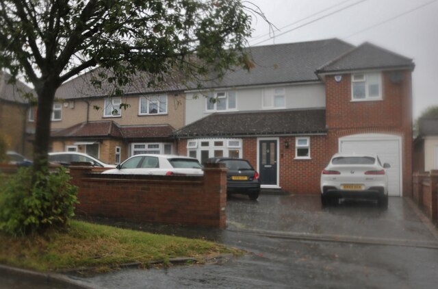
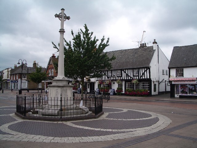
Rye Park is a charming village located in Hertfordshire, England. Situated just three miles northeast of the town of Hoddesdon, this picturesque settlement offers a tranquil and idyllic setting for its residents and visitors alike.
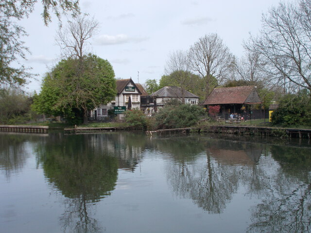
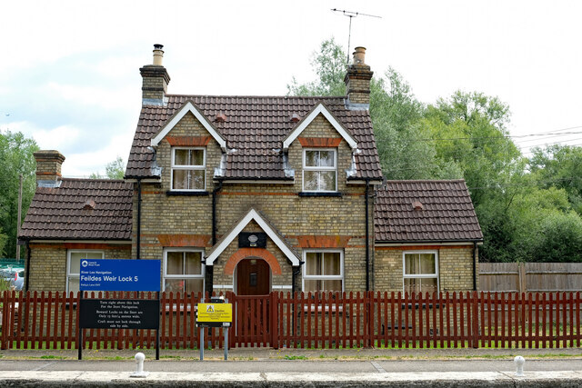
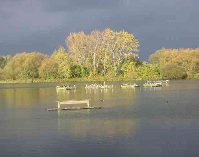
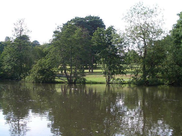
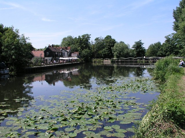
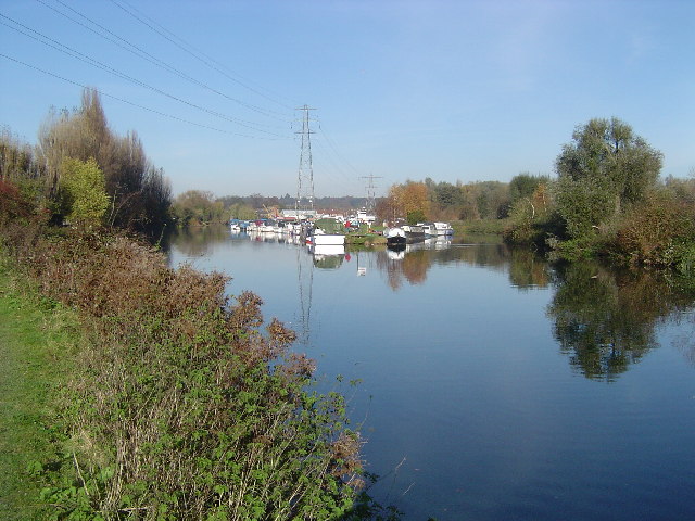
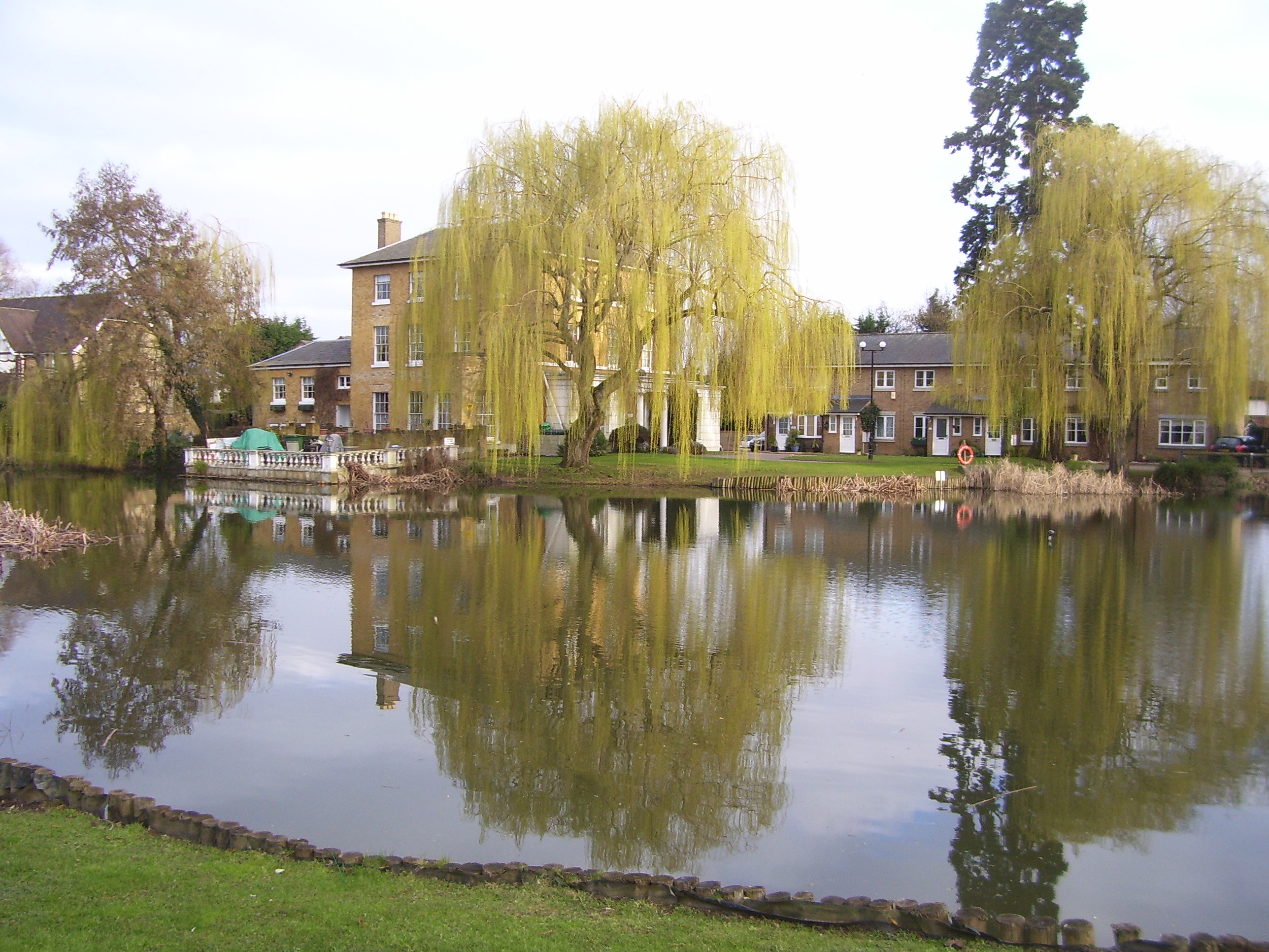
The village is best known for its expansive park, which covers an area of over 60 acres. The park boasts a diverse range of natural landscapes, including woodlands, meadows, and a large lake. It is a popular destination for nature enthusiasts, joggers, and families seeking outdoor recreation. The park also features well-maintained walking trails, picnic areas, and a children's playground, making it an ideal spot for a day out in nature.
Surrounded by lush greenery, Rye Park offers a peaceful ambiance and serves as a sanctuary for wildlife. Visitors can spot a variety of bird species, including herons and swans, as well as other animals such as squirrels and rabbits. The park is also home to a small nature reserve, providing a protected habitat for local flora and fauna.
In addition to its natural beauty, Rye Park is known for its community spirit. The village hosts various events throughout the year, including summer fairs and outdoor concerts. Its close proximity to Hoddesdon provides residents with easy access to a range of amenities, including shops, restaurants, and schools.
Overall, Rye Park is a delightful village that offers a perfect blend of natural beauty and community spirit. Whether you're seeking a peaceful walk in nature or a lively community event, this Hertfordshire gem has something to offer everyone.
If you have any feedback on the listing, please let us know in the comments section below.
Rye Park Images
Images are sourced within 2km of 51.766316/-0.006628 or Grid Reference TL3709. Thanks to Geograph Open Source API. All images are credited.


Rye Park is located at Grid Ref: TL3709 (Lat: 51.766316, Lng: -0.006628)
Administrative County: Hertfordshire
District: Broxbourne
Police Authority: Hertfordshire
What 3 Words
///loaded.wages.then. Near Hoddesdon, Hertfordshire
Nearby Locations
Related Wikis

Hoddesdon Town Hall
Hoddesdon Town Hall, also known as Hoddesdon Clock House, was a municipal building in the High Street in Hoddesdon, Hertfordshire, England. Except for...

Hoddesdon Cemetery
Hoddesdon Cemetery is the burial ground for the town of Hoddesdon in Hertfordshire in the UK and is owned and maintained by the Borough of Broxbourne....
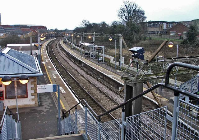
Rye House railway station
British Rail Class 720 Rye House railway station is on the Hertford East branch line off the West Anglia Main Line in the east of England, serving the...

Hoddesdon
Hoddesdon () is a town in the Borough of Broxbourne, Hertfordshire, lying entirely within the London Metropolitan Area and Greater London Urban Area....

Rawdon House
Rawdon House is a former residence in the High Street of Hoddesdon, Hertfordshire, England. It was built as a house in 1622 by Marmaduke Rawdon, and extended...
River Lynch
The River Lynch, also known as the Lynch Brook, is a minor tributary of the River Lea in Hoddesdon, Hertfordshire, England. == History == Historically...

The John Warner School
The John Warner School is a secondary school with academy status for 11- to 18-year-olds in Hoddesdon, Hertfordshire, England. It is located on Stanstead...

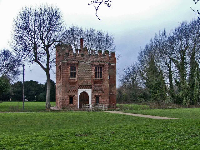
Rye House, Hertfordshire
Rye House in Hoddesdon, Hertfordshire is a former fortified manor house, located in what is now the Lee Valley Regional Park. The gatehouse is the only...
Nearby Amenities
Located within 500m of 51.766316,-0.006628Have you been to Rye Park?
Leave your review of Rye Park below (or comments, questions and feedback).