Rushbury
Settlement in Shropshire
England
Rushbury
Rushbury is a small village located in the county of Shropshire, England. Situated approximately 4 miles south of Church Stretton, Rushbury is nestled within the picturesque South Shropshire Hills Area of Outstanding Natural Beauty. With a population of around 400 residents, the village exudes a tranquil and rural charm.
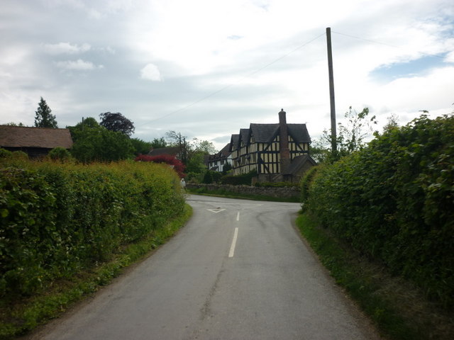
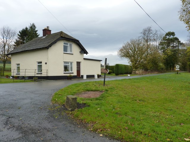
The village is known for its idyllic setting, surrounded by rolling hills, lush green fields, and meandering streams. The landscape offers breathtaking views and ample opportunities for outdoor activities such as hiking, cycling, and birdwatching. The nearby Long Mynd, a heath and moorland plateau, is a popular spot for walkers and nature enthusiasts.
Rushbury boasts a rich history, with evidence of human habitation dating back to the Iron Age. The village is home to several historic buildings, including the Grade II listed St. Peter's Church, which dates back to the 12th century. The church features a Norman doorway and an ancient yew tree in its grounds.
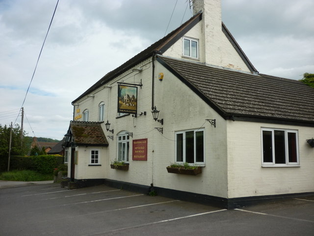
Although small in size, Rushbury maintains a strong sense of community spirit. The village has a local pub, The Plough Inn, which serves as a social hub for residents and visitors alike. The pub offers a warm and welcoming atmosphere, along with traditional British cuisine and a selection of ales.
Overall, Rushbury provides a peaceful and picturesque retreat for those seeking a slower pace of life amidst the natural beauty of the Shropshire countryside.
If you have any feedback on the listing, please let us know in the comments section below.
Rushbury Images
Images are sourced within 2km of 52.523263/-2.718065 or Grid Reference SO5191. Thanks to Geograph Open Source API. All images are credited.


Rushbury is located at Grid Ref: SO5191 (Lat: 52.523263, Lng: -2.718065)
Unitary Authority: Shropshire
Police Authority: West Mercia
What 3 Words
///study.makeovers.headsets. Near Cardington, Shropshire
Nearby Locations
Related Wikis

Shropshire Hills
The Shropshire Hills are a dissected upland area and one of the natural regions of England. They lie wholly within the county of Shropshire and encompass...

Rushbury
Rushbury is a village and civil parish in Shropshire, roughly five miles from Church Stretton and eight miles from Much Wenlock. Nearby villages include...

Rushbury railway station
Rushbury railway station was a station in Rushbury, Shropshire, England. The station was opened in 1867 and closed in 1951. In 1892 a 15-lever signal box...

St Edith's Church, Eaton-under-Heywood
St Edith's Church is in the village of Eaton-under-Heywood, Shropshire, England. It stands on the lower slopes of Wenlock Edge. The church, dedicated...
Related Videos

WALKING IN CARDING MILL VALLEY AND EXPLORING SHREWSBURY | SHROPSHIRE
We've been walking in Carding Mill Valley and exploring Shrewsbury. We had a fun holiday in Shropshire - a part of the UK that ...

Exploring the Shropshire Hills (36 Mile Two Day Hike)
We embarked on an adventurous two-day hike spanning 36 miles through the captivating Shropshire Hills, commencing our ...

Shropshire Road Trip! Traveling The UK In A Van!
vanlife #shropshirehills #travel Shropshire Road Trip! Traveling The UK In A Van! Check out the full length video here ...

Walking towards Stokesay Castle
We tried a follow-me drone during the recent 59ers DoE reunion at Church Stretton, but it went wrong. Its worth a view, but won't ...
Nearby Amenities
Located within 500m of 52.523263,-2.718065Have you been to Rushbury?
Leave your review of Rushbury below (or comments, questions and feedback).