Rush Green

Settlement in Hertfordshire East Hertfordshire

England

Rush Green

River Lea path just north of Fountain Drive
River Lea path just north of Fountain Drive Credit: Tom Page

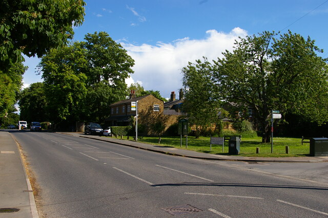
Rush Green is a small village located in the county of Hertfordshire, England. Situated approximately 30 miles north of London, it falls within the district of East Hertfordshire. The village is nestled in a rural setting, surrounded by picturesque countryside and rolling hills, offering residents a serene and tranquil environment.

Rush Green is home to a close-knit community, with a population of around 500 people. The village has a rich history, dating back to the medieval period, and is characterized by its charming architecture, including a number of quaint cottages and historic buildings. The centerpiece of the village is the 12th-century St. Mary's Church, an architectural gem that attracts visitors from near and far.

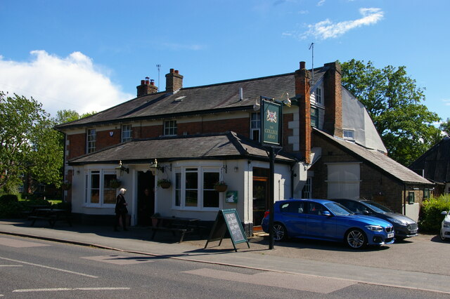
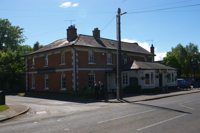
Despite its small size, Rush Green offers a range of amenities and facilities to its residents. The village has a primary school, providing education for local children, as well as a village hall that serves as a hub for community events and activities. Additionally, there is a pub, where villagers can socialize and enjoy a drink or a meal.

The surrounding countryside provides ample opportunities for outdoor activities, such as walking, cycling, and horseback riding. Rush Green is also conveniently located near larger towns and cities, with good transport links to Hertford, Ware, and the wider Hertfordshire area.

Overall, Rush Green offers a peaceful and idyllic lifestyle, making it an attractive place to live for those seeking a rural retreat within easy reach of urban amenities.

If you have any feedback on the listing, please let us know in the comments section below.
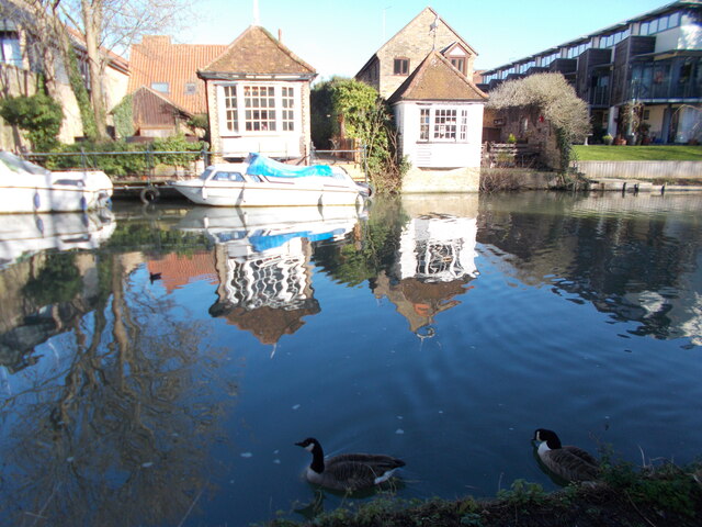
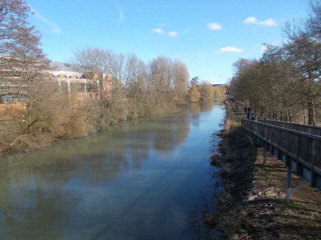
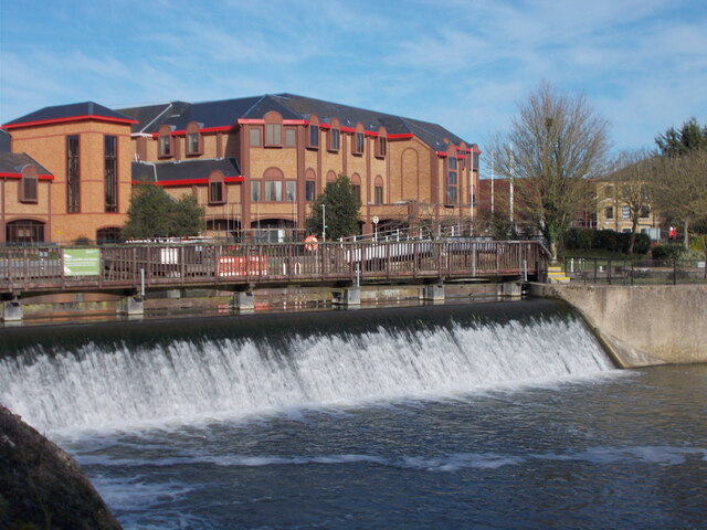
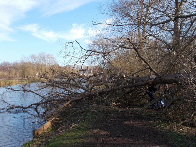
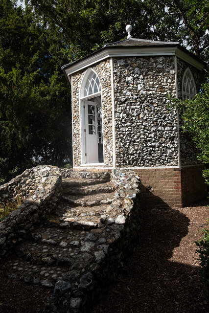
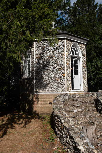
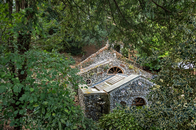
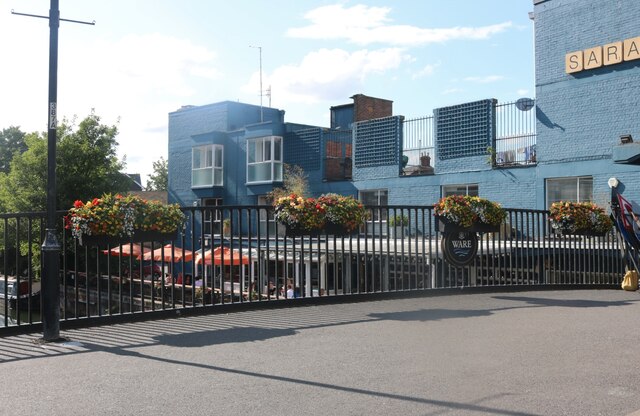
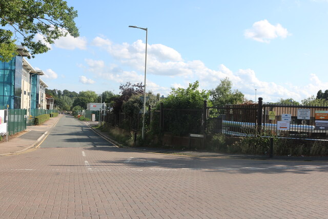
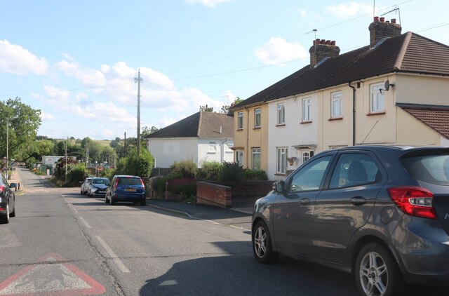
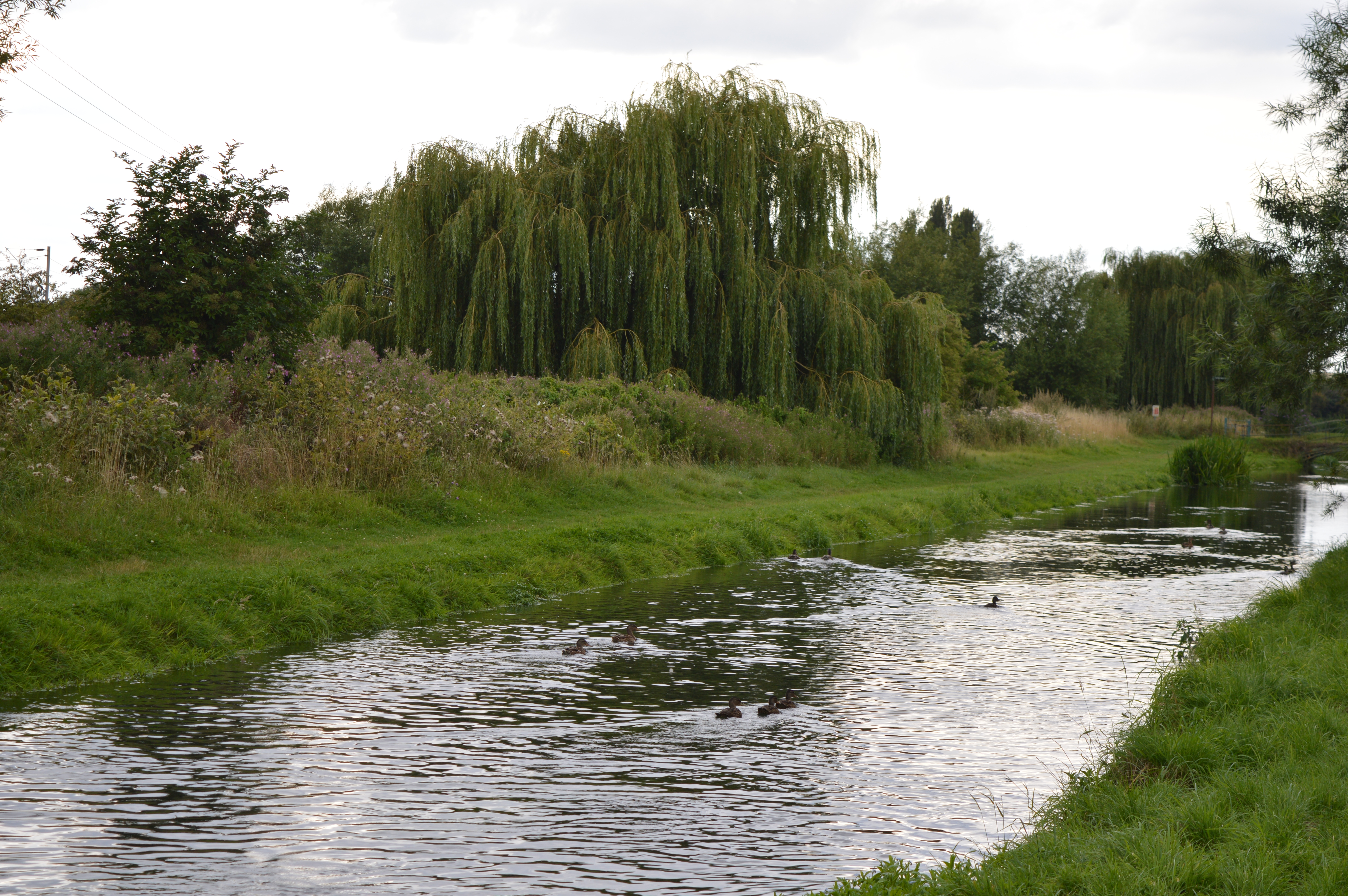
Rush Green Images

Images are sourced within 2km of 51.79704/-0.042256 or Grid Reference TL3512. Thanks to Geograph Open Source API. All images are credited.

River Lea path just north of Fountain Drive
Gazebo reflections at Ware
River Lea from a footbridge
Downriver from Hertford Lock A view north east from the bridge at Hertford Lock. This photo was taken on a bright sunny day in February 2022 and contrasts with a very similar view - also on Geograph - taken on a grey day on 26 January 2013. See photo 3339561. At the end of this straight stretch of the river, it is joined by the River Beane.
Downriver from Hertford Lock
A view north east from the bridge at Hertford Lock. This photo was taken on a bright sunny day in February 2022 and contrasts with a very similar view - also on Geograph - taken on a grey day on 26 January 2013. See photo 3339561. At the end of this straight stretch of the river, it is joined by the River Beane.
River Lea weir
River Lea weir
Fallen tree by the river near to Hardmead Lock Presumably a result of the havoc wreaked by Storm Eunice the previous weekend.
Fallen tree by the river near to Hardmead Lock
Presumably a result of the havoc wreaked by Storm Eunice the previous weekend.
London Road, Hertford Heath
The College Arms, Hertford Heath
Ware : New River bridge weight warning sign
Hertford : River Lea
Ware : Scott's Grotto summerhouse Grade II* listed - <span class="nowrap"><a title="https://historicengland.org.uk/listing/the-list/list-entry/1275397" rel="nofollow ugc noopener" href="https://historicengland.org.uk/listing/the-list/list-entry/1275397">Link</a><img style="margin-left:2px;" alt="External link" title="External link - shift click to open in new window" src="https://s1.geograph.org.uk/img/external.png" width="10" height="10"/></span>.
Ware : Scott's Grotto summerhouse
Grade II* listed - LinkExternal link.
Ware : Scott's Grotto summerhouse
Ware : Scott's Grotto Grade I listed - <span class="nowrap"><a title="https://historicengland.org.uk/listing/the-list/list-entry/1238171?section=official-list-entry" rel="nofollow ugc noopener" href="https://historicengland.org.uk/listing/the-list/list-entry/1238171?section=official-list-entry">Link</a><img style="margin-left:2px;" alt="External link" title="External link - shift click to open in new window" src="https://s1.geograph.org.uk/img/external.png" width="10" height="10"/></span>.
Ware : Scott's Grotto
Grade I listed - LinkExternal link.
The Saracens Head, Ware By the River Lea
The Saracens Head, Ware
By the River Lea
Harris's Lane, Ware
Harris's Lane, Ware
Fanshawe Crescent, Ware
Show me another place!

Rush Green is located at Grid Ref: TL3512 (Lat: 51.79704, Lng: -0.042256)

Administrative County: Hertfordshire

District: East Hertfordshire

Police Authority: Hertfordshire

What 3 Words

///head.remit.keep. Near Little Amwell, Hertfordshire

Nearby Locations

Rush Green

Related Wikis

Rush Green, East Hertfordshire

Rush Green is a hamlet on the outskirts of Hertford, Hertfordshire. The Roman road Ermine Street passed through Rush Green. == Location == It is next to...

Corkbush Field

Corkbush Field is the land to the east of Hertford along the Ware road, lying between the King's Meads at the bottom of the valley of the River Lea and...

Foxholes, Hertford

Foxholes is an eastern suburb of Hertford, Hertfordshire, England. It is situated to the north of the older Foxholes Farm, which over the years has served...

King's Meads

King's Meads is a nature reserve between the towns of Hertford and Ware in Hertfordshire. It is managed by the Herts and Middlesex Wildlife Trust, and...

Nearby Amenities

Located within 500m of 51.79704,-0.042256
Traffic Signals
Source: survey
Traffic Signals: signal
Lat/Long: 51.798339/-0.0445147
Motorway Junction
Rush Green Roundabout
Lat/Long: 51.797461/-0.0376718
Traffic Signals
Source: survey
Lat/Long: 51.8006172/-0.0425452
Traffic Signals
Source: survey
Lat/Long: 51.7991873/-0.0419912
Crossing
Crossing: unmarked
Lat/Long: 51.7991636/-0.0484263
Fuel
Rush Green Filling Station
Designation: 11800254
Fuel Diesel: yes
Fuel Octane 95: yes
Operator: BP
Phone: +44 1992 517650
Lat/Long: 51.7999988/-0.0443145
Rush Green
Place: hamlet
Wikidata: Q7380702
Lat/Long: 51.7963702/-0.0431985
Traffic Signals
Traffic Signals: signal
Lat/Long: 51.7985503/-0.0442956
Noexit: yes
Lat/Long: 51.8005834/-0.0445904
Post Box
Post Box Type: lamp
Ref: SG13 5
Royal Cypher: EIIR
Royal Cypher Wikidata: Q33102113
Lat/Long: 51.7980405/-0.0481211
Bus Stop
Stanstead Road
Naptan AtcoCode: 210021302283
Naptan Bearing: S
Naptan CommonName: Stanstead Road
Naptan Crossing: Martins Drive
Naptan Indicator: S-bound
Naptan Landmark: Martins Drive
Naptan NaptanCode: hrtdtwjw
Naptan PlusbusZoneRef: HFDN
Naptan ShortCommonName: NA
Naptan Street: Vixen Drive
Naptan Verified: no
Source: naptan_import
Lat/Long: 51.7979643/-0.0481648
Bus Stop
Stanstead Road
Bus: yes
Naptan AtcoCode: 210021311520
Naptan Bearing: N
Naptan CommonName: Stanstead Road
Naptan Crossing: Reynard Way
Naptan Indicator: N-bound
Naptan Landmark: Reynard Way
Naptan NaptanCode: hrtdpajw
Naptan PlusbusZoneRef: HFDN
Naptan ShortCommonName: NA
Naptan Street: Vixen Drive
Naptan Verified: no
Public Transport: platform
Source: naptan_import
Lat/Long: 51.7986894/-0.0485105
Fast Food
McDonald's
Brand: McDonald's
Brand Wikidata: Q38076
Brand Wikipedia: en:McDonald's
Contact Website: https://www.mcdonalds.com/gb/en-gb/location/hertford/hertford-ii---rush-green/stanstead-road/8261188.html
Cuisine: burger
Drive Through: yes
Takeaway: yes
Lat/Long: 51.7996538/-0.0447093
M&S Simply Food
Brand: M&S Simply Food
Brand Wikidata: Q714491
Brand Wikipedia: en:Marks & Spencer
Contact Website: https://www.marksandspencer.com/stores/rush-green-bp-237
Operator: Marks and Spencer
Shop: convenience
Lat/Long: 51.8001308/-0.0441058
Car Wash
Lat/Long: 51.800028/-0.0439971
Traffic Signals
Traffic Signals: signal
Lat/Long: 51.800495/-0.0424876
Turning Circle
Lat/Long: 51.7977719/-0.0466801
Traffic Signals
Traffic Signals: signal
Lat/Long: 51.7992919/-0.0420684
Leisure: playground
Lat/Long: 51.7984194/-0.0449077
The data included in this document is from www.openstreetmap.org. The data is made available under ODbL.

Have you been to Rush Green?

Leave your review of Rush Green below (or comments, questions and feedback).