Rush Green
Settlement in Norfolk South Norfolk
England
Rush Green
Rush Green is a small village located in the county of Norfolk, England. Situated approximately 12 miles east of the city of Norwich, Rush Green is nestled in a peaceful rural setting. The village is surrounded by picturesque countryside, with rolling hills, meadows, and farmland creating a serene and idyllic atmosphere.
With a population of around 300 residents, Rush Green is a tight-knit community that offers a close sense of community spirit. The village features a range of traditional architecture, including charming cottages and historic buildings that add character to the area. The village green is a focal point, serving as a meeting place and hosting various community events throughout the year.
Despite its small size, Rush Green is well-served by amenities. The village boasts a local pub, offering a warm and friendly atmosphere for residents and visitors alike. Additionally, there is a village hall that acts as a hub for social gatherings and community activities. The surrounding countryside provides ample opportunities for outdoor pursuits, with walking and cycling routes that showcase the area's natural beauty.
Rush Green benefits from its proximity to Norwich, which offers a wider range of amenities and services. The city provides excellent transport links, allowing for convenient access to further amenities, employment opportunities, and cultural attractions.
Overall, Rush Green is a picturesque and close-knit village that offers a peaceful and rural lifestyle, while still providing access to the nearby city of Norwich.
If you have any feedback on the listing, please let us know in the comments section below.
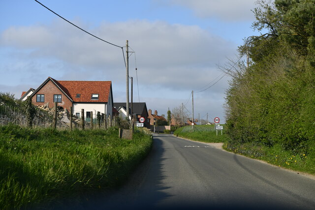
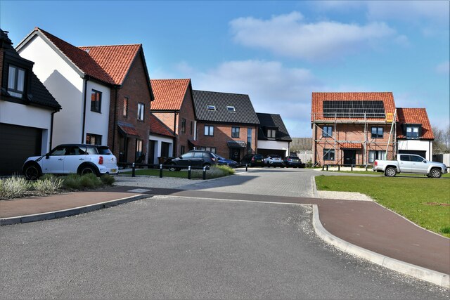
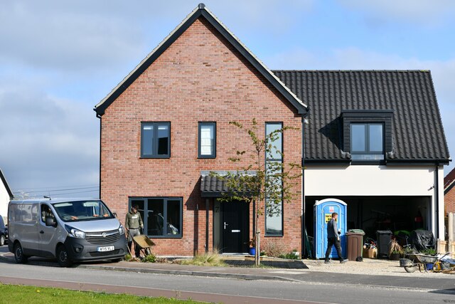
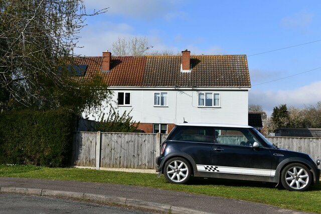
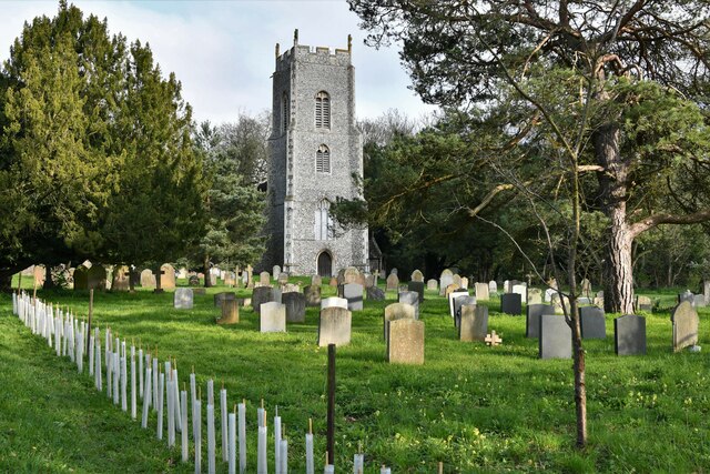
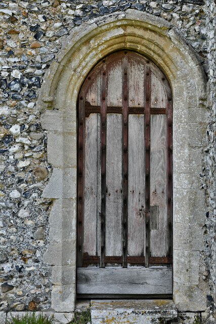
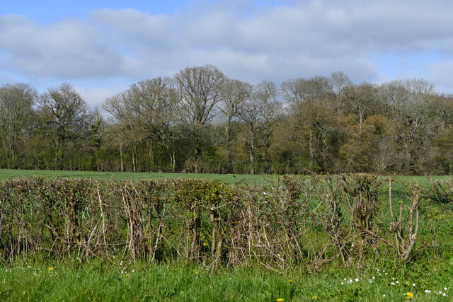
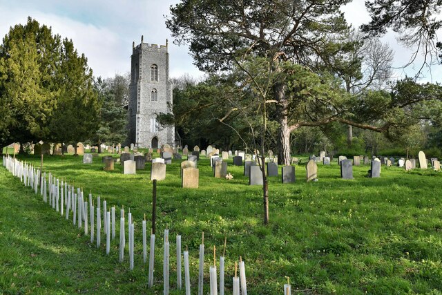
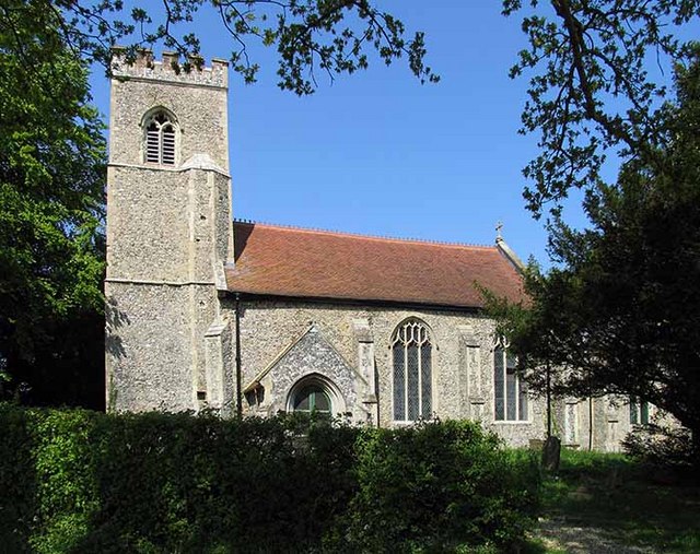
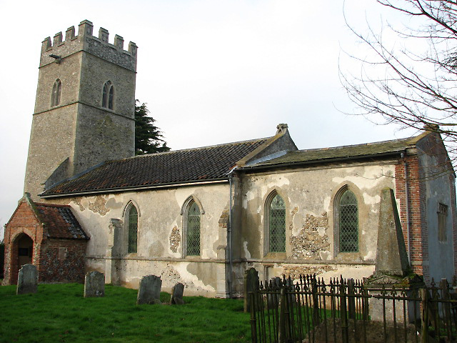
Rush Green Images
Images are sourced within 2km of 52.620126/1.065477 or Grid Reference TG0706. Thanks to Geograph Open Source API. All images are credited.


Rush Green is located at Grid Ref: TG0706 (Lat: 52.620126, Lng: 1.065477)
Administrative County: Norfolk
District: South Norfolk
Police Authority: Norfolk
What 3 Words
///rock.inserting.conducted. Near Mattishall, Norfolk
Nearby Locations
Related Wikis

Barnham Broom
Barnham Broom is a village and civil parish in the English county of Norfolk. The village is situated on the River Yare, 9 miles (15 km) West of Norwich...
Brandon Parva
Brandon Parva is a village and former civil parish, now in the parish of Brandon Parva, Coston, Runhall and Welborne, in the South Norfolk district, in...

Coston Fen, Runhall
Coston Fen, Runhall is a 7.1-hectare (18-acre) biological Site of Special Scientific Interest between Dereham and Wymondham in Norfolk. It is part of the...
St Michael's Church, Coston
St Michael's Church is a redundant Anglican church in the hamlet of Coston, in the civil parish of Runhall, Norfolk, England. It is recorded in the National...
Nearby Amenities
Located within 500m of 52.620126,1.065477Have you been to Rush Green?
Leave your review of Rush Green below (or comments, questions and feedback).