Rufford
Settlement in Lancashire West Lancashire
England
Rufford
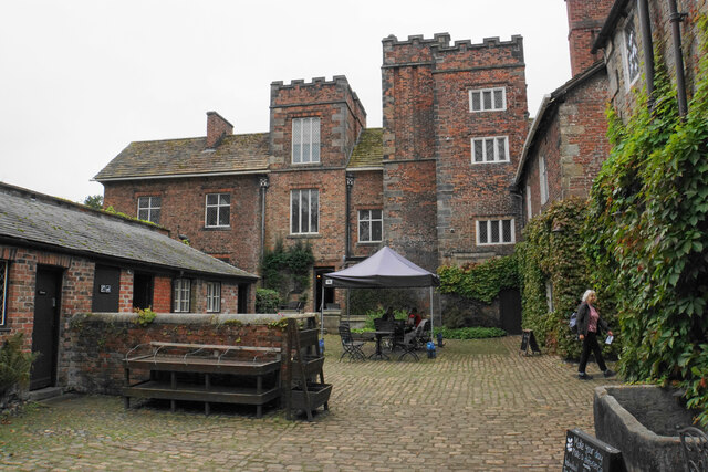
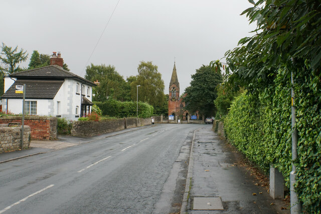
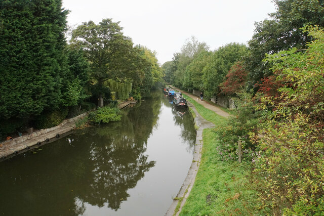
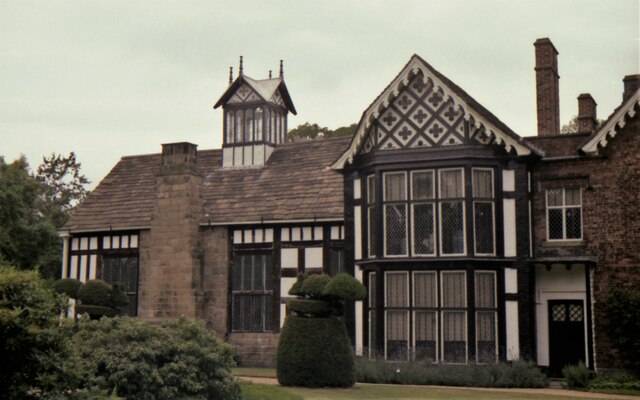
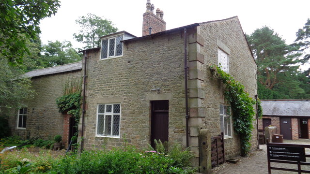
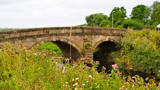
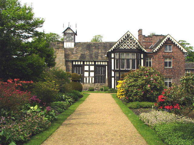
Rufford is a small village located in Lancashire, England. It is situated along the River Douglas and is known for its picturesque countryside and historic buildings. The village is home to Rufford Old Hall, a National Trust property dating back to the 16th century, which attracts visitors interested in exploring its well-preserved Tudor architecture and beautiful gardens.
Rufford also has a number of charming shops, cafes, and pubs, making it a popular destination for tourists and locals alike. The village has a strong sense of community, with various events and activities held throughout the year, such as the annual Rufford Village Festival.
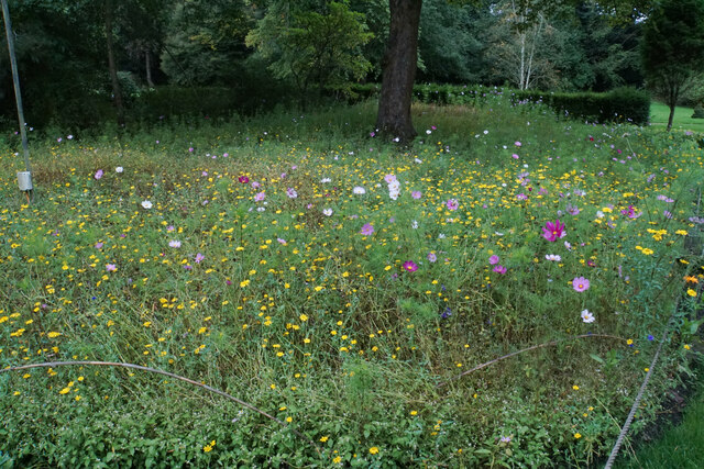
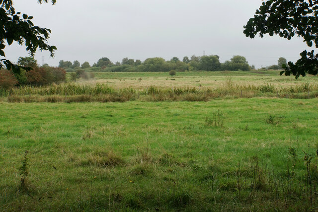
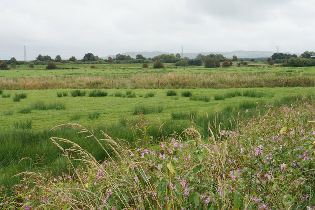
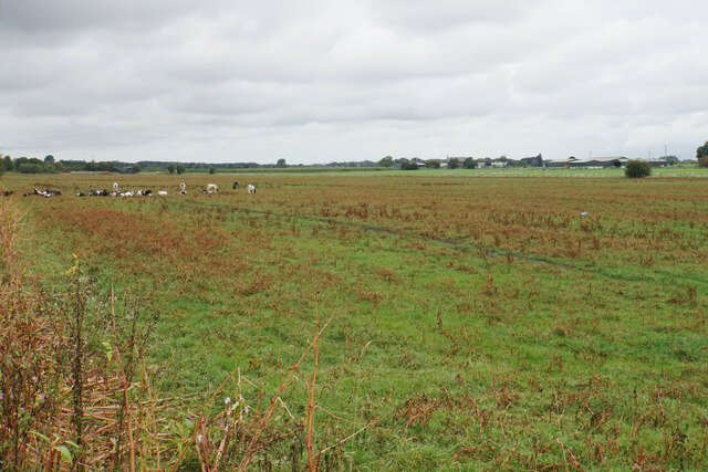
In addition to its historic charm, Rufford offers plenty of outdoor recreational opportunities, including walking and cycling routes along the river and through the surrounding countryside. The nearby Rufford Country Park is a popular spot for picnics, nature walks, and birdwatching.
Overall, Rufford is a tranquil and picturesque village with a rich history and plenty to offer visitors looking to escape the hustle and bustle of city life.
If you have any feedback on the listing, please let us know in the comments section below.
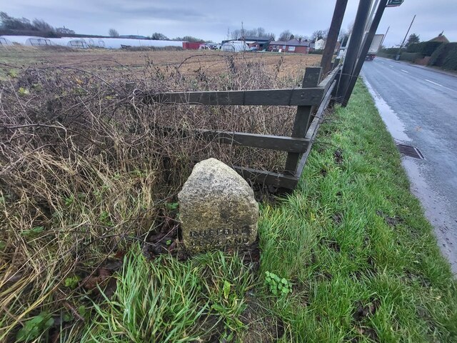
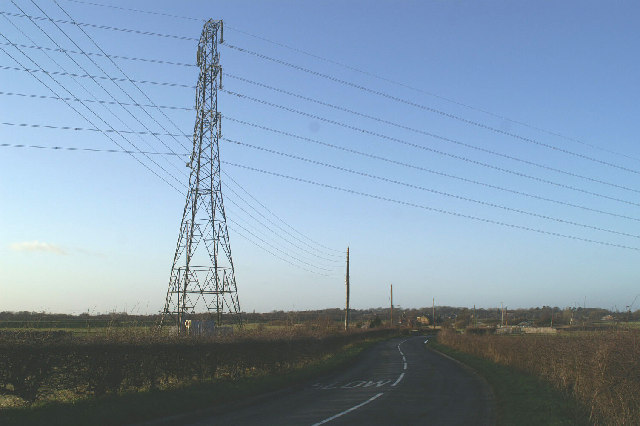
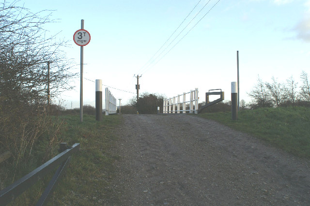
Rufford Images
Images are sourced within 2km of 53.634807/-2.814766 or Grid Reference SD4615. Thanks to Geograph Open Source API. All images are credited.
Rufford is located at Grid Ref: SD4615 (Lat: 53.634807, Lng: -2.814766)
Administrative County: Lancashire
District: West Lancashire
Police Authority: Lancashire
What 3 Words
///splints.gong.lawn. Near Rufford, Lancashire
Nearby Locations
Related Wikis

Rufford, Lancashire
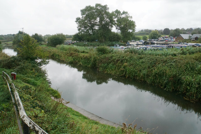
Rufford is a village in West Lancashire, England, where the Leeds and Liverpool Canal, Liverpool, Ormskirk and Preston Railway, the A59 and the River Douglas...

Rufford Old Hall
Rufford Old Hall is a National Trust property in Rufford, Lancashire, England. Built in about 1530 for Sir Robert Hesketh, only the Great Hall survives...

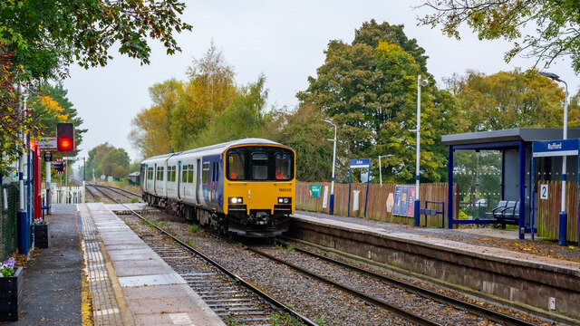
Rufford railway station
Rufford railway station, opened on 2 April 1849, serves the village of Rufford in Lancashire, England. The station is (9½ miles) south west of Preston...

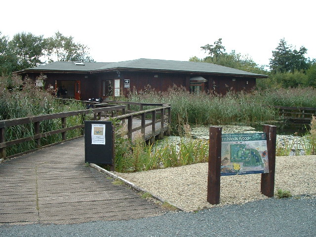
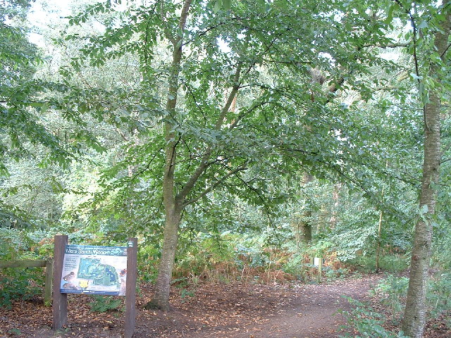
Mere Sands Wood
Mere Sands Wood is a 105 acres (42 ha) nature reserve between the villages of Holmeswood and Rufford in west Lancashire, England, managed by The Wildlife...
Nearby Amenities
Located within 500m of 53.634807,-2.814766Have you been to Rufford?
Leave your review of Rufford below (or comments, questions and feedback).