Rudyard
Settlement in Staffordshire Staffordshire Moorlands
England
Rudyard
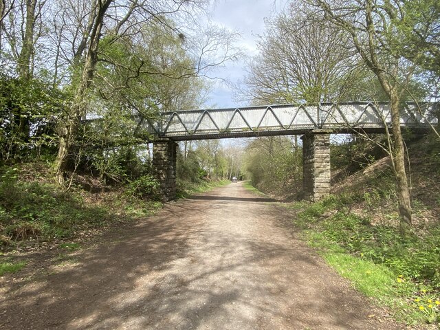
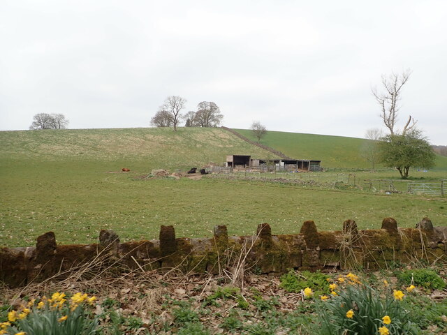
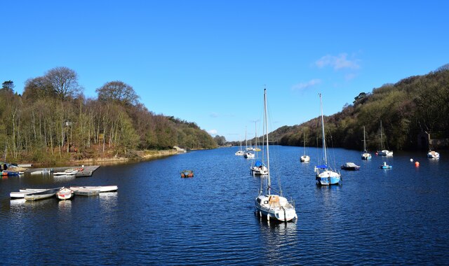
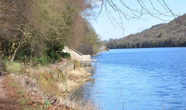
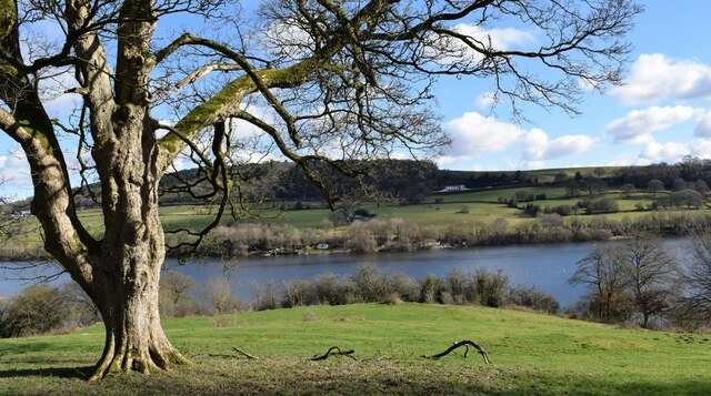
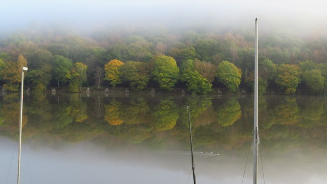
Rudyard is a small village located in the Staffordshire Moorlands district of Staffordshire, England. It lies approximately 4 miles north-west of the market town of Leek and is set within the beautiful Staffordshire countryside. The village is nestled around the picturesque Rudyard Lake, a popular tourist attraction and a reservoir formed by the damming of the River Churnet.
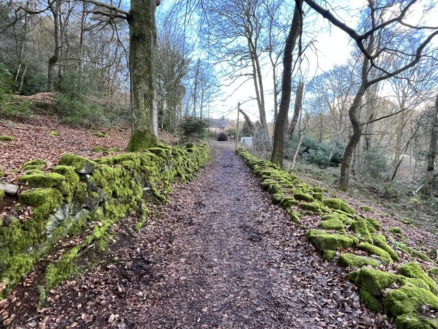
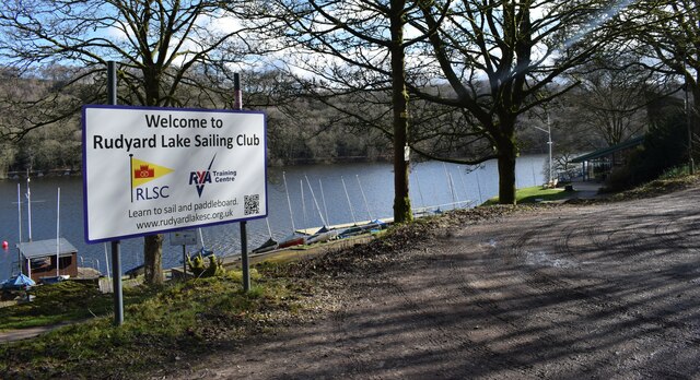
The village is best known for its connection to the famous author Rudyard Kipling, who was named after the village as his parents honeymooned there. Rudyard Lake also inspired Kipling's famous poem "The Way Through the Woods." Today, the lake remains an idyllic spot for boating, fishing, and leisurely walks along the scenic lakeside trail.
Rudyard has a small but close-knit community, with a mix of residential properties, some dating back to the 19th century, and newer developments. The village boasts a primary school, a village hall, a post office, and a few local businesses, including a charming tearoom overlooking the lake.
The surrounding area offers plenty of opportunities for outdoor activities, such as hiking, cycling, and horse riding, with several nature reserves and country parks nearby. The village is also well-connected, with good road links to nearby towns and cities, making it an attractive location for those seeking a peaceful countryside lifestyle while still within reach of urban amenities.
In conclusion, Rudyard is a quaint village in Staffordshire, famous for its association with Rudyard Kipling and its stunning lake. With its picturesque surroundings, friendly community, and outdoor recreational opportunities, it is a delightful place to visit or call home.
If you have any feedback on the listing, please let us know in the comments section below.
Rudyard Images
Images are sourced within 2km of 53.125067/-2.079021 or Grid Reference SJ9458. Thanks to Geograph Open Source API. All images are credited.


Rudyard is located at Grid Ref: SJ9458 (Lat: 53.125067, Lng: -2.079021)
Administrative County: Staffordshire
District: Staffordshire Moorlands
Police Authority: Staffordshire
What 3 Words
///caked.carpets.salaried. Near Leek, Staffordshire
Nearby Locations
Related Wikis

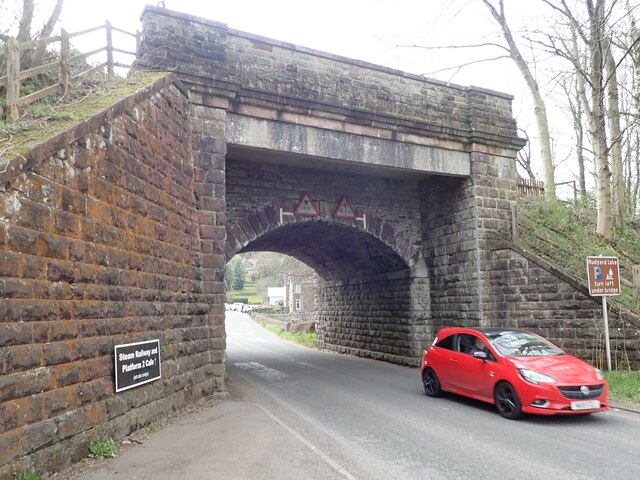
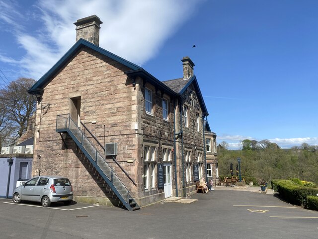
Rudyard railway station
Rudyard railway station served Rudyard, Staffordshire and was opened by the North Staffordshire Railway (NSR) in 1850 on the Churnet Valley line. In the...

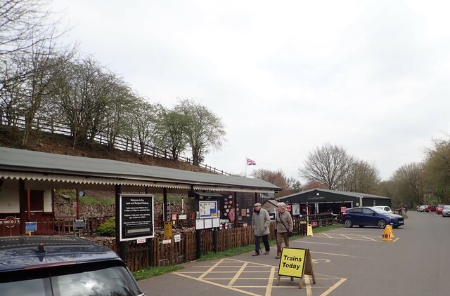
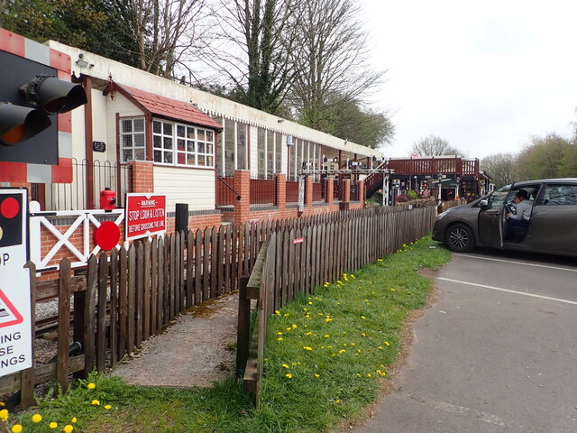
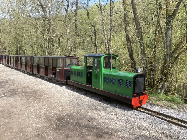
Rudyard Lake Steam Railway
The Rudyard Lake Steam Railway is a ridable miniature railway and the third railway of any gauge to run along the side of Rudyard Lake in Staffordshire...

Rudyard, Staffordshire
Rudyard is a lakeside village in the county of Staffordshire, England, west of Leek and on the shore of Rudyard Lake. Population details as taken at the...

Rudyard Lake
Rudyard Lake is a reservoir in Rudyard, Staffordshire, located north-west of the town of Leek, Staffordshire. It was constructed in the late 18th century...
Nearby Amenities
Located within 500m of 53.125067,-2.079021Have you been to Rudyard?
Leave your review of Rudyard below (or comments, questions and feedback).