Roxwell

Settlement in Essex Chelmsford

England

Roxwell

Writtle commemorative parish boundary stone A commemorative boundary stone marking the northern boundary of Writtle parish.

Milestone Society ID no. EX_WRIT03cm
Writtle commemorative parish boundary stone Credit: Paul Jones

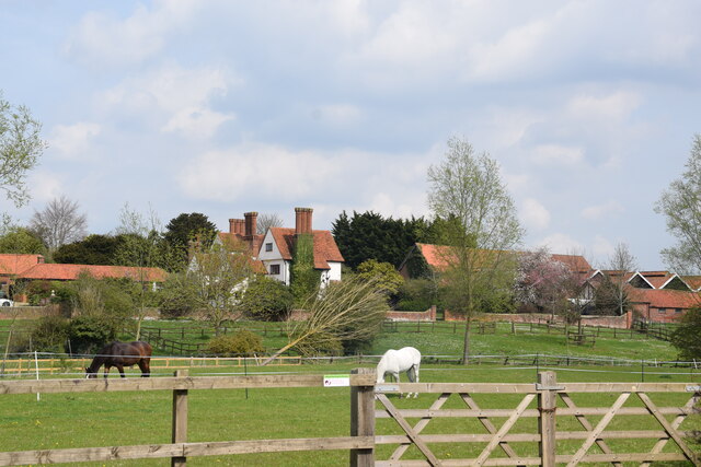
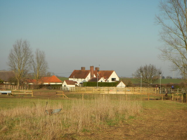
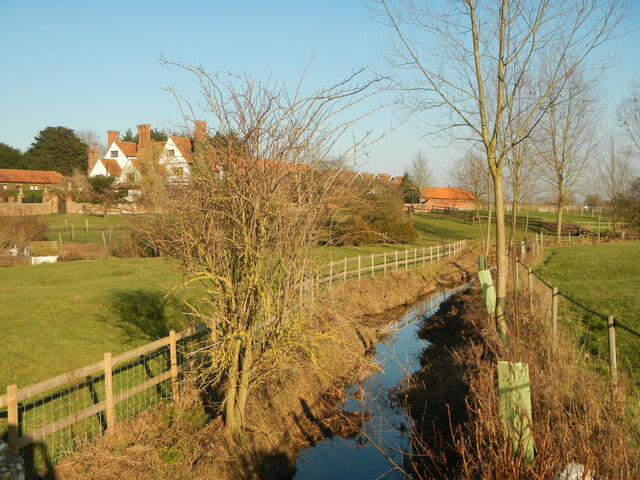
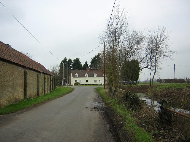
Roxwell is a charming village located in the county of Essex, England. Situated approximately 5 miles to the southwest of Chelmsford, it offers a tranquil and picturesque setting for its residents. With a population of around 1,200 people, Roxwell retains a close-knit community feel.

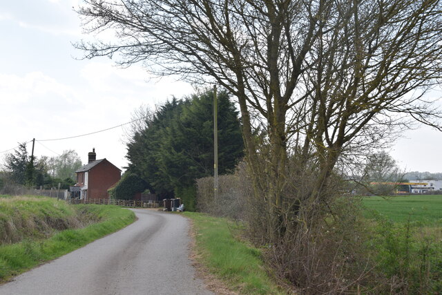
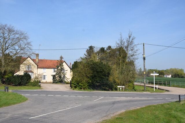
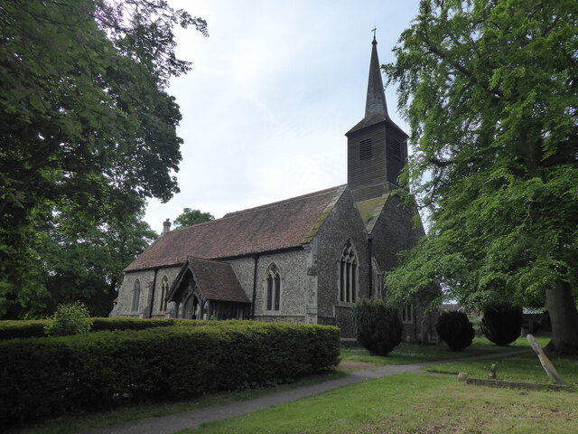
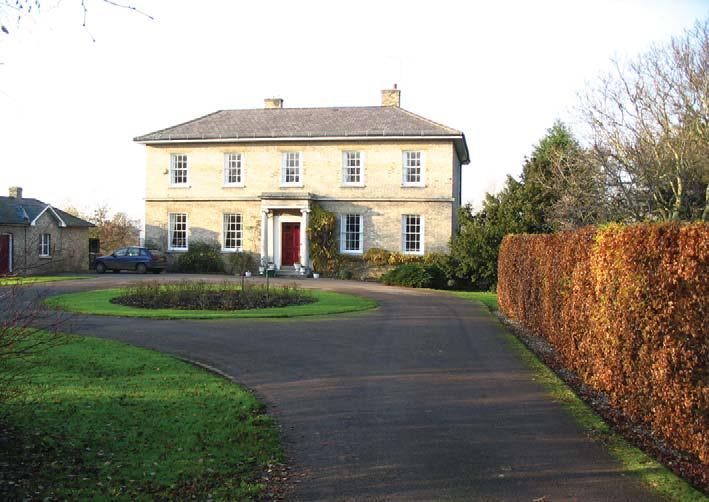
The village is characterized by its traditional English architecture, featuring a mix of well-preserved thatched cottages, redbrick houses, and historic buildings. The centerpiece of Roxwell is the magnificent St. Michael and All Angels Church, a Grade I listed building that dates back to the 13th century. Its stunning architectural details and beautiful stained-glass windows make it a popular attraction for visitors.

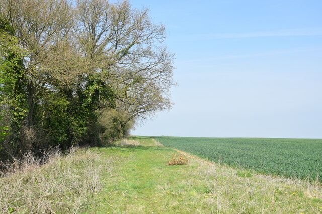
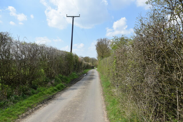
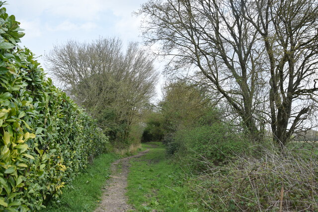
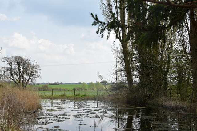
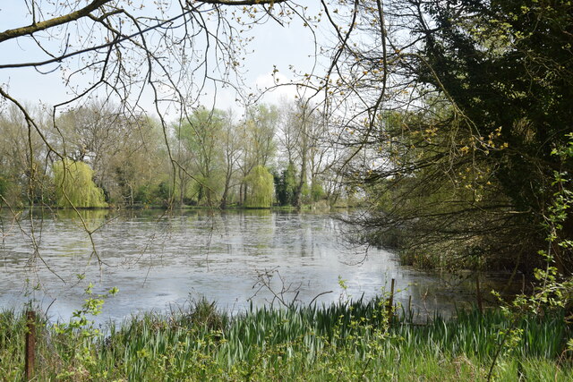
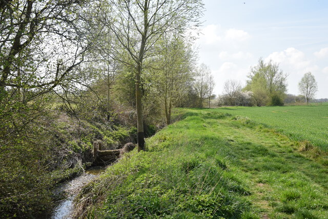
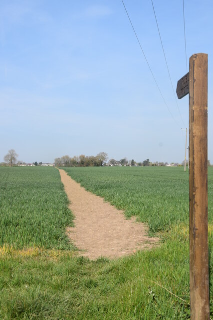
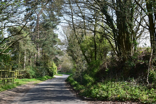
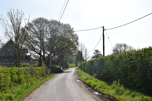
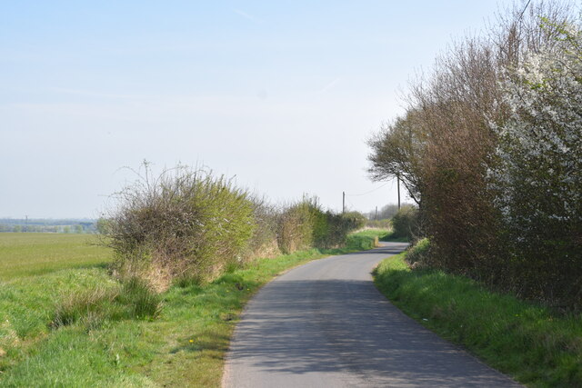
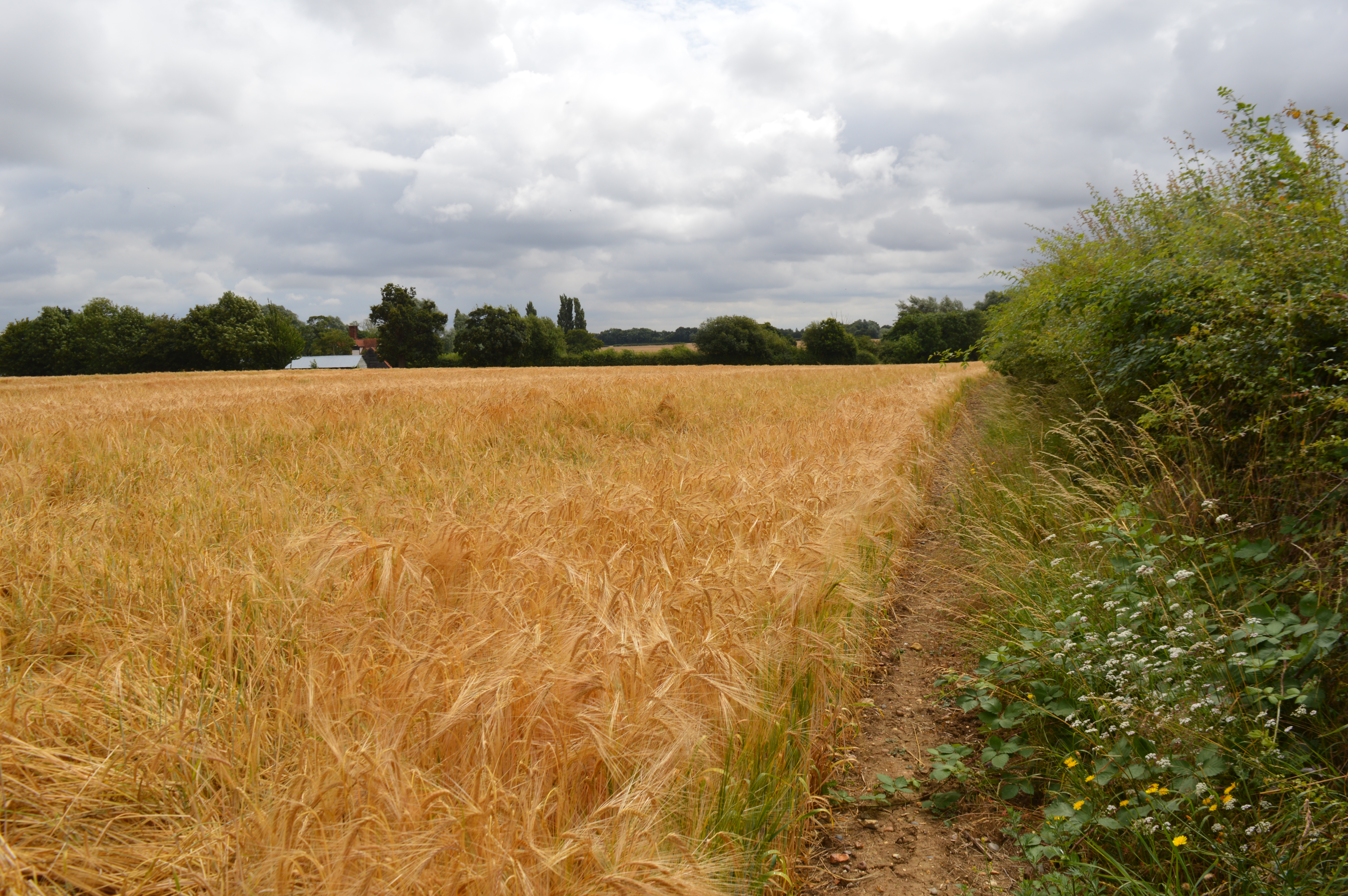
Roxwell is surrounded by lush green fields and rolling countryside, making it ideal for nature enthusiasts. The village is home to several walking and cycling trails, including the Essex Way, which passes through Roxwell, providing opportunities to explore the surrounding countryside.

Despite its peaceful ambiance, Roxwell offers convenient amenities to its residents. The village boasts a local pub, The Chequers, where locals and visitors can enjoy a drink or a meal. Additionally, there is a village hall that hosts a range of community events and activities throughout the year, fostering a strong sense of community spirit.

Overall, Roxwell is a delightful village that effortlessly combines historical charm with natural beauty. Its idyllic surroundings and friendly atmosphere make it an appealing place to live or visit for those seeking a tranquil retreat in the heart of Essex.

If you have any feedback on the listing, please let us know in the comments section below.

Roxwell Images

Images are sourced within 2km of 51.749805/0.383943 or Grid Reference TL6408. Thanks to Geograph Open Source API. All images are credited.

Writtle commemorative parish boundary stone A commemorative boundary stone marking the northern boundary of Writtle parish.

Milestone Society ID no. EX_WRIT03cm
Writtle commemorative parish boundary stone
A commemorative boundary stone marking the northern boundary of Writtle parish. Milestone Society ID no. EX_WRIT03cm
Roxwell Brook Looking upstream - taken from the footbridge carrying the footpath from the A1060, Roxwell Road.
Roxwell Brook
Looking upstream - taken from the footbridge carrying the footpath from the A1060, Roxwell Road.
Bridleway to Pengymill Taken a short distance north east of Roxwell Road.
Bridleway to Pengymill
Taken a short distance north east of Roxwell Road.
Boyton Hall Lane Looking towards Boyton Cross.
Boyton Hall Lane
Looking towards Boyton Cross.
Elm Lane, Roxwell A dead-end lane heading towards Mountneys.
Elm Lane, Roxwell
A dead-end lane heading towards Mountneys.
Bridleway off Elm Lane Here the bridleway is running south of Elm Tree House.
Bridleway off Elm Lane
Here the bridleway is running south of Elm Tree House.
View towards Dukes Manor, Roxwell Looking across Roxwell Brook from the western end of The Street.
View towards Dukes Manor, Roxwell
Looking across Roxwell Brook from the western end of The Street.
Farm Pond at Tye Hall One of three ponds slightly north east of Tye Hall.
Farm Pond at Tye Hall
One of three ponds slightly north east of Tye Hall.
The Boating Lake, Skreens Park The lake at the adventure sports centre is seen from the footpath which passes its western end.
The Boating Lake, Skreens Park
The lake at the adventure sports centre is seen from the footpath which passes its western end.
Roxwell Brook ...and brook-side footpath near Stonehill Farm.
Roxwell Brook
...and brook-side footpath near Stonehill Farm.
Junction of Hoe Street with Galleons Hill Taken from the northern end of Hoe Street, with Thatcher's Farm opposite.
Junction of Hoe Street with Galleons Hill
Taken from the northern end of Hoe Street, with Thatcher's Farm opposite.
Footpath at Hoestreet The path heads north west towards Roxwell.
Footpath at Hoestreet
The path heads north west towards Roxwell.
Gravelly Lane Near Newney Green, close to the house called Gravelly End.
Gravelly Lane
Near Newney Green, close to the house called Gravelly End.
Newney Green Looking east shot from outside The Duck public house.
Newney Green
Looking east shot from outside The Duck public house.
Lane to Benedict Otes and Newney Green
Roxwell, St Michael & All Angels
Lightfoots A farmhouse has existed on the site since the middle of the 14th century, but the present building dates from the late 16th century. It is now run as a livery stable.
Lightfoots
A farmhouse has existed on the site since the middle of the 14th century, but the present building dates from the late 16th century. It is now run as a livery stable.
Dukes Farm and Roxwell Brook Dukes dates from the 16th century. Roxwell Brook joins the River Can to the north of Writtle.
Dukes Farm and Roxwell Brook
Dukes dates from the 16th century. Roxwell Brook joins the River Can to the north of Writtle.
Show me another place!

Roxwell is located at Grid Ref: TL6408 (Lat: 51.749805, Lng: 0.383943)

Administrative County: Essex

District: Chelmsford

Police Authority: Essex

What 3 Words

///whizzing.briefing.structure. Near Writtle, Essex

Nearby Locations

Roxwell

Related Wikis

Boyton Cross

Boyton Cross is a hamlet in Essex, England. It is approximately half a mile from the village of Roxwell and is situated mainly along the A1060 road which...

Roxwell

Roxwell is a village and civil parish in the Chelmsford district of Essex, England. The village is approximately 4 miles (6 km) west from the centre of...

Newney Green Pit

Newney Green Pit is a 0.07-hectare (0.17-acre) geological Site of Special Scientific Interest west of Writtle in Essex. It is a Geological Conservation...

Sturgeons House

Sturgeons House is a Grade II listed country estate located west of the small village of Writtle in Essex, England. At its height, the estate comprised...

Cooksmill Green

Cooksmill Green is a hamlet in both the civil parish of Roxwell and Highwood in the Chelmsford District of Essex, England. It is situated approximately...

Writtle University College

Writtle University College is a university college located in Writtle near Chelmsford, Essex. It was founded in 1893. Writtle obtained University College...

St James' Church, Chignal St James

St James' Church, Chignal St James is a former parish church in Chignal St James in Essex, England. The building has a 13th or 14th century nave with flint...

Chignall St James

Chignall St James is a village and former civil parish, now in the parish of Chignall, in the Chelmsford district in Essex, England. The village is situated...

Nearby Amenities

Located within 500m of 51.749805,0.383943
Roxwell
Place: village
Lat/Long: 51.7512321/0.381674
Bus Stop
Green Lane
Naptan AtcoCode: 150020009006
Naptan Bearing: SE
Naptan CommonName: Green Lane
Naptan Crossing: Green Lane
Naptan Indicator: Opp
Naptan Landmark: Green Lane
Naptan NaptanCode: esxdgdmd
Naptan Street: Vicarage Road
Naptan Verified: no
Public Transport: platform
Source: naptan_import
Lat/Long: 51.7488102/0.385485
Green Lane
Naptan AtcoCode: 1500200090Y6
Naptan Bearing: NW
Naptan BusStopType: CUS
Naptan CommonName: Green Lane
Naptan Crossing: Green Lane
Naptan Indicator: Adj
Naptan Landmark: Green Lane
Naptan NaptanCode: esxgpwgt
Naptan Street: Vicarage Road
Naptan Verified: no
Public Transport: platform
Source: naptan_import
Lat/Long: 51.7487479/0.3854528
Bus Stop
Village Hall
Naptan AtcoCode: 1500IM2367
Naptan Bearing: W
Naptan CommonName: Village Hall
Naptan Crossing: St. Michael's Drive
Naptan Indicator: Opp
Naptan Landmark: Village Hall
Naptan NaptanCode: esxdgdmj
Naptan Street: The Street
Naptan Verified: no
Public Transport: platform
Source: naptan_import
Lat/Long: 51.7513736/0.3814762
Bus Stop
Village Hall
Naptan AtcoCode: 1500IM2367B
Naptan Bearing: E
Naptan CommonName: Village Hall
Naptan Crossing: St. Michael's Drive
Naptan Indicator: o/s
Naptan Landmark: Village Hall
Naptan NaptanCode: esxdgdmg
Naptan Street: The Street
Naptan Verified: no
Public Transport: platform
Source: naptan_import
Lat/Long: 51.7513286/0.381923
St. Michael's Drive
Naptan AtcoCode: 1500ROXWELL3
Naptan Bearing: SE
Naptan BusStopType: CUS
Naptan CommonName: St. Michael's Drive
Naptan Crossing: Stonehill Road
Naptan Indicator: E-bound
Naptan Landmark: St. Michael's Drive
Naptan NaptanCode: esxdgdmp
Naptan Street: St. Michael's Drive
Naptan Verified: no
Public Transport: platform
Source: naptan_import
Lat/Long: 51.7490571/0.3772975
St. Michael's Drive
Naptan AtcoCode: 1500ROXWELY3
Naptan Bearing: NW
Naptan BusStopType: CUS
Naptan CommonName: St. Michael's Drive
Naptan Crossing: Stonehill Road
Naptan Indicator: W-bound
Naptan Landmark: St. Michael's Drive
Naptan NaptanCode: esxgpjdm
Naptan Street: St. Michael's Drive
Naptan Verified: no
Public Transport: platform
Source: naptan_import
Lat/Long: 51.7490127/0.3772662
Roxwell Village sign
Tourism: artwork
Lat/Long: 51.7514082/0.3817384
The data included in this document is from www.openstreetmap.org. The data is made available under ODbL.

Have you been to Roxwell?

Leave your review of Roxwell below (or comments, questions and feedback).