Roughrigg

Settlement in Lanarkshire

Scotland

Roughrigg

Longrigg and Smamannan from the air Longrig is at the bottom of the photo, Smamannan is on the left. The course of the former Slamannan Railway <span class="nowrap"><a title="https://en.wikipedia.org/wiki/Slamannan_Railway" rel="nofollow ugc noopener" href="https://en.wikipedia.org/wiki/Slamannan_Railway">Link</a><img style="margin-left:2px;" alt="External link" title="External link - shift click to open in new window" src="https://s1.geograph.org.uk/img/external.png" width="10" height="10"/></span> can be seen running vertically through the photo.
Longrigg and Smamannan from the air Credit: Thomas Nugent

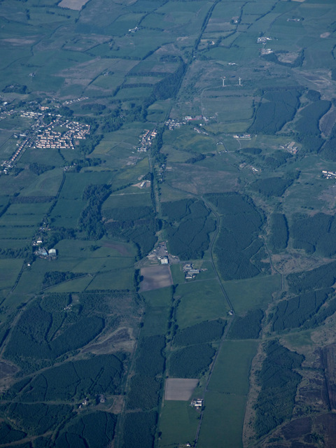
Roughrigg is a small rural village located in the county of Lanarkshire, Scotland. Situated approximately 20 miles south of Glasgow, Roughrigg is nestled within the picturesque countryside, offering serene surroundings and a tranquil atmosphere.

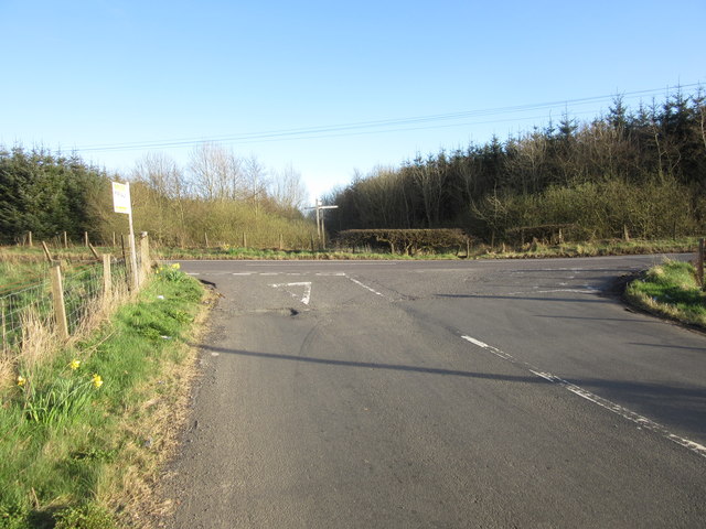
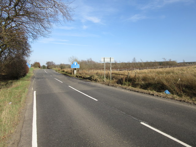
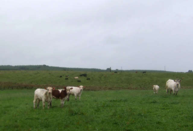
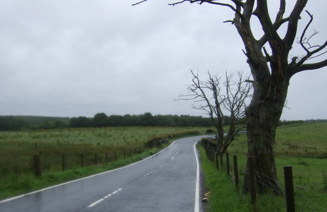
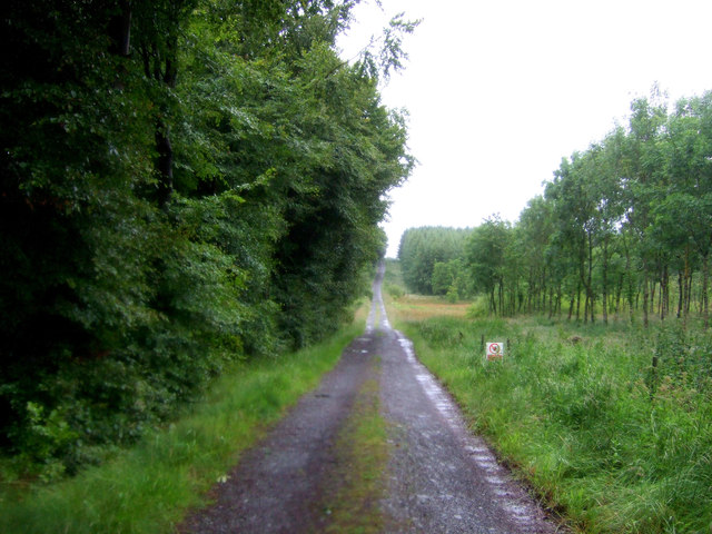
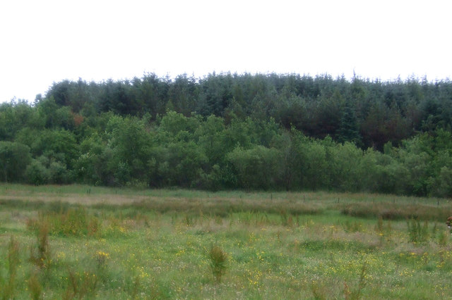
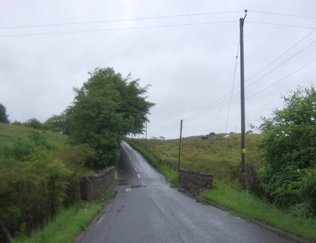
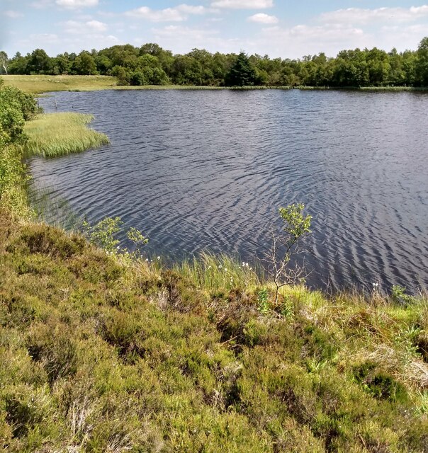
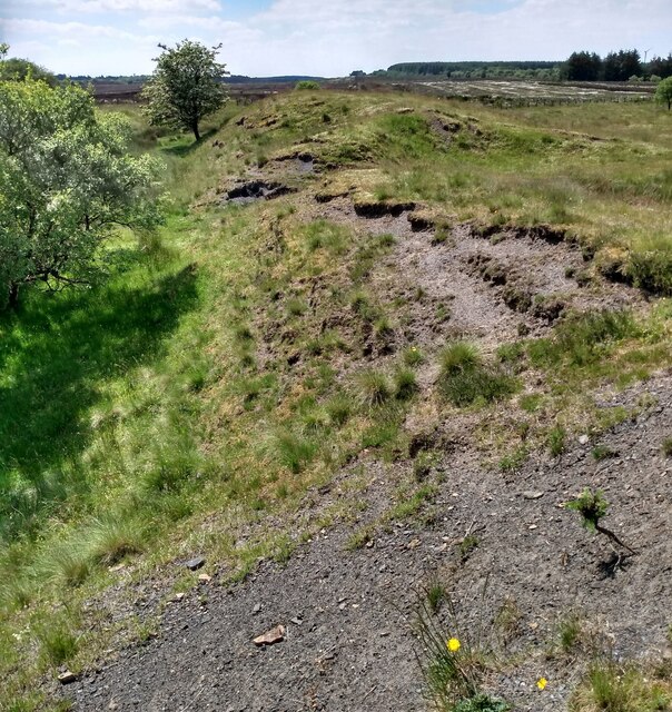
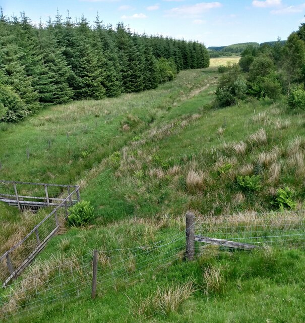
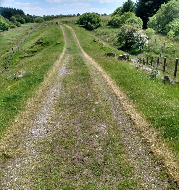
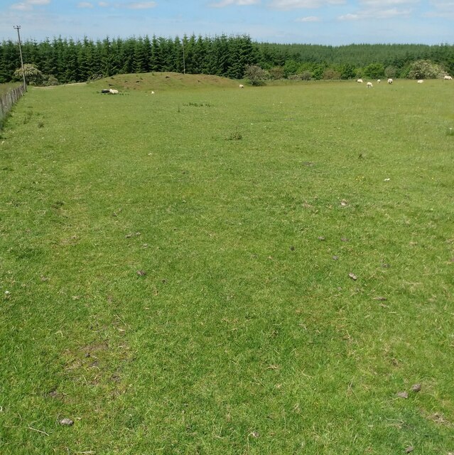
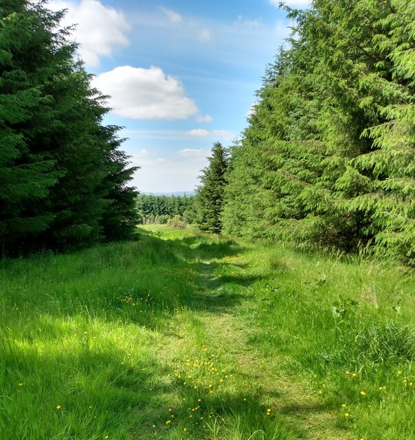
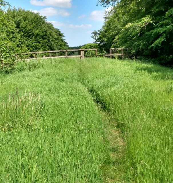
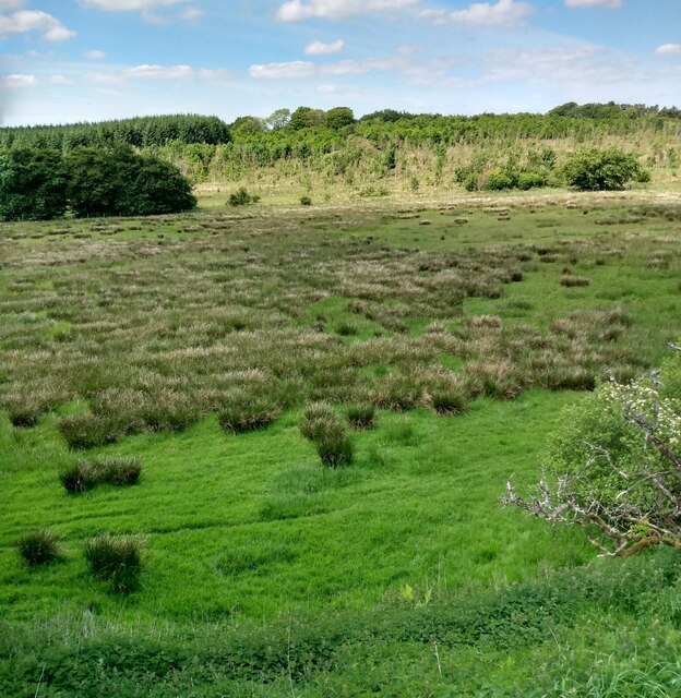
The village is known for its beautiful landscapes, characterized by rolling hills, lush green fields, and charming country lanes. It is an ideal destination for nature enthusiasts and outdoor lovers, as it provides ample opportunities for walking, hiking, and cycling. The nearby Roughrigg Reservoir is a popular spot for fishing and birdwatching.

The village itself is small and close-knit, with a tight community spirit. It has a few local amenities, including a village hall, a primary school, and a local pub, where residents gather for socializing and entertainment. The village hall hosts various community events and activities throughout the year, fostering a sense of unity among the locals.

The surrounding area offers a range of attractions and amenities. Nearby towns such as Airdrie and Coatbridge provide shopping centers, restaurants, and leisure facilities. The cities of Glasgow and Edinburgh are within easy reach, offering a plethora of cultural, historical, and entertainment options.

Roughrigg exudes a peaceful and idyllic charm, making it an ideal place for those seeking a quiet countryside retreat while remaining within reach of urban amenities. Its natural beauty, friendly community, and convenient location make Roughrigg a desirable place to live or visit in Lanarkshire.

If you have any feedback on the listing, please let us know in the comments section below.
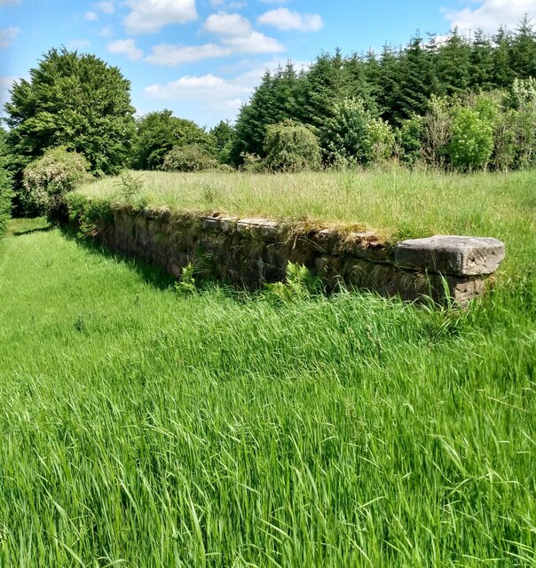
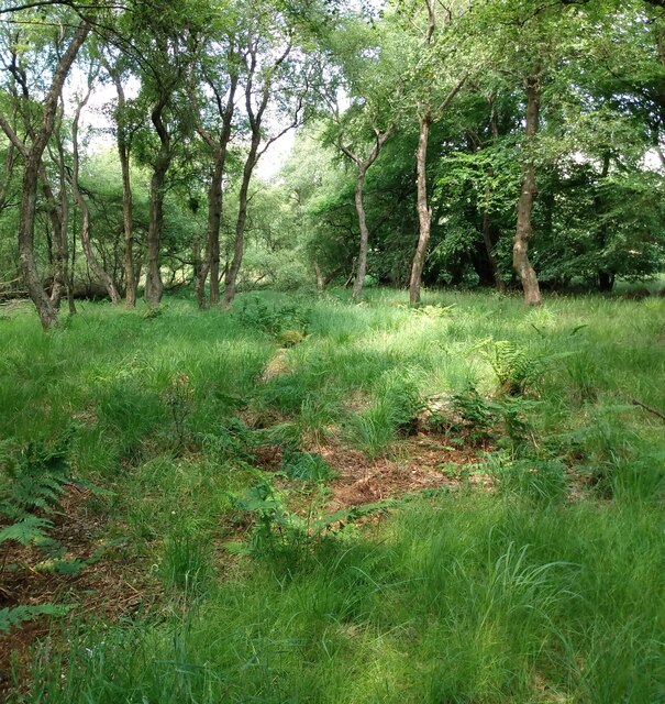
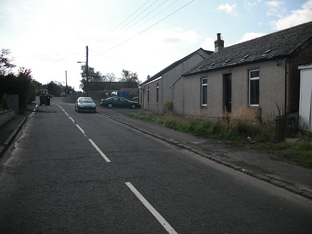
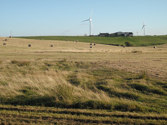
Roughrigg Images

Images are sourced within 2km of 55.914743/-3.8804369 or Grid Reference NS8270. Thanks to Geograph Open Source API. All images are credited.

Longrigg and Smamannan from the air Longrig is at the bottom of the photo, Smamannan is on the left. The course of the former Slamannan Railway <span class="nowrap"><a title="https://en.wikipedia.org/wiki/Slamannan_Railway" rel="nofollow ugc noopener" href="https://en.wikipedia.org/wiki/Slamannan_Railway">Link</a><img style="margin-left:2px;" alt="External link" title="External link - shift click to open in new window" src="https://s1.geograph.org.uk/img/external.png" width="10" height="10"/></span> can be seen running vertically through the photo.
Longrigg and Smamannan from the air
Longrig is at the bottom of the photo, Smamannan is on the left. The course of the former Slamannan Railway LinkExternal link can be seen running vertically through the photo.
Road junction, Fannyside Road
Council boundary: Falkirk and North Lanarkshire
Cattle, Luckenburn
Cattle, Luckenburn
B803 towards Slamannan Looking east.
B803 towards Slamannan
Looking east.
Track to Shielknowes Looking north west.
Track to Shielknowes
Looking north west.
Grazing towards woodland, Todsbughts
Bridge over the Rashiehill Burn Heading north east towards Slamannan.
Bridge over the Rashiehill Burn
Heading north east towards Slamannan.
Pond in old mining area Old maps show that this was the site of a mine spoil heap
Pond in old mining area
Old maps show that this was the site of a mine spoil heap
Mining waste On the edge of a large peat bog seen in distance
Mining waste
On the edge of a large peat bog seen in distance
Culloch Burn Running in an open area between plantations
Culloch Burn
Running in an open area between plantations
Track on old mineral line As it crosses Culloch Burn on route signposted to Limerigg Wood.
Track on old mineral line
As it crosses Culloch Burn on route signposted to Limerigg Wood.
Pasture beside Longriggend Road Closely cropped by the sheep. Evidence of mining in corner of field.
Pasture beside Longriggend Road
Closely cropped by the sheep. Evidence of mining in corner of field.
Path through Longrigg Wood On the line of a mineral railway
Path through Longrigg Wood
On the line of a mineral railway
Council boundary on old railway North Lanarkshire this side of fence with Falkirk beyond.
Formerly New Monkland and Slamannan parishes.
Council boundary on old railway
North Lanarkshire this side of fence with Falkirk beyond. Formerly New Monkland and Slamannan parishes.
Flat area of rough pasture Woodland beyond seems to be recovering from fire damage
Flat area of rough pasture
Woodland beyond seems to be recovering from fire damage
Wall supporting old railway At a junction near Longrigg siding
Wall supporting old railway
At a junction near Longrigg siding
Woodland clearing Just off track to Shielknowes
Woodland clearing
Just off track to Shielknowes
Show me another place!

Roughrigg is located at Grid Ref: NS8270 (Lat: 55.914743, Lng: -3.8804369)

Unitary Authority: North Lanarkshire

Police Authority: Lanarkshire

What 3 Words

///darkest.revealing.soonest. Near Caldercruix, North Lanarkshire

Nearby Locations

Longriggend Roughrigg

Related Wikis

Longriggend

Longriggend is a village in North Lanarkshire, Scotland, with a population of approximately 200. == Geography == It is situated on moorland 8 km north...

Longriggend railway station

Longriggend railway station was a railway station serving the village of Longriggend, North Lanarkshire, Scotland. The station was part of the Slamannan...

Upperton, North Lanarkshire

Upperton is a village in North Lanarkshire, Scotland, near Airdrie and Cumbernauld, about 20 miles (32 km) north-east of Glasgow. It lies close to the...

Caldercruix

Caldercruix is a semi-rural village in North Lanarkshire, Scotland. The nearest major town is Airdrie, 4 miles (6 kilometres) to the west. It has a population...

Nearby Amenities

Located within 500m of 55.914743,-3.8804369
Power: pole
Lat/Long: 55.9142429/-3.8730985
Power: pole
Lat/Long: 55.9138856/-3.8742214
Power: pole
Lat/Long: 55.9135401/-3.8752921
Power: pole
Lat/Long: 55.913184/-3.8763921
Power: pole
Lat/Long: 55.9128384/-3.877492
Power: pole
Lat/Long: 55.9124718/-3.8786127
Power: pole
Lat/Long: 55.9121203/-3.8796783
Power: pole
Lat/Long: 55.9117794/-3.8807491
Power: pole
Lat/Long: 55.9114233/-3.881849
Power: pole
Lat/Long: 55.9110824/-3.8815865
Power: pole
Lat/Long: 55.910446/-3.8811178
Power: pole
Lat/Long: 55.9137852/-3.8731319
Power: pole
Lat/Long: 55.9129411/-3.8732048
Power: pole
Lat/Long: 55.9130766/-3.8776253
Power: pole
Lat/Long: 55.9137362/-3.8779794
Power: pole
Lat/Long: 55.9143795/-3.8783711
Power: pole
Lat/Long: 55.9148395/-3.8785419
Power: pole
Lat/Long: 55.9151197/-3.8798543
Power: pole
Lat/Long: 55.915373/-3.8810126
Power: pole
Lat/Long: 55.9155972/-3.8820948
Power: pole
Lat/Long: 55.9152166/-3.8785627
Power: pole
Lat/Long: 55.9156112/-3.8785732
Power: pole
Lat/Long: 55.9160571/-3.8785961
Generator Method: photovoltaic
Generator Output Electricity: yes
Generator Source: solar
Generator Type: solar_photovoltaic_panel
Location: roof
Power: generator
Lat/Long: 55.9104712/-3.8823564
The data included in this document is from www.openstreetmap.org. The data is made available under ODbL.

Have you been to Roughrigg?

Leave your review of Roughrigg below (or comments, questions and feedback).