Blackminster
Settlement in Worcestershire Wychavon
England
Blackminster
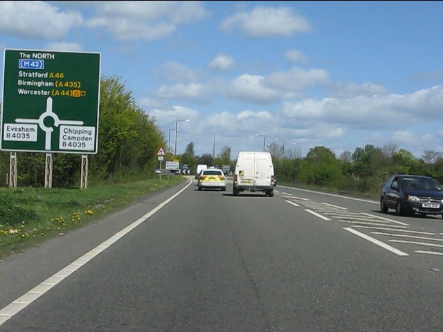
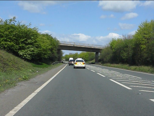
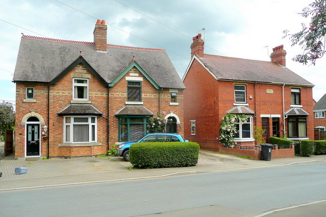
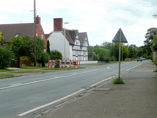
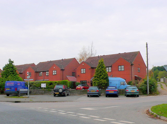
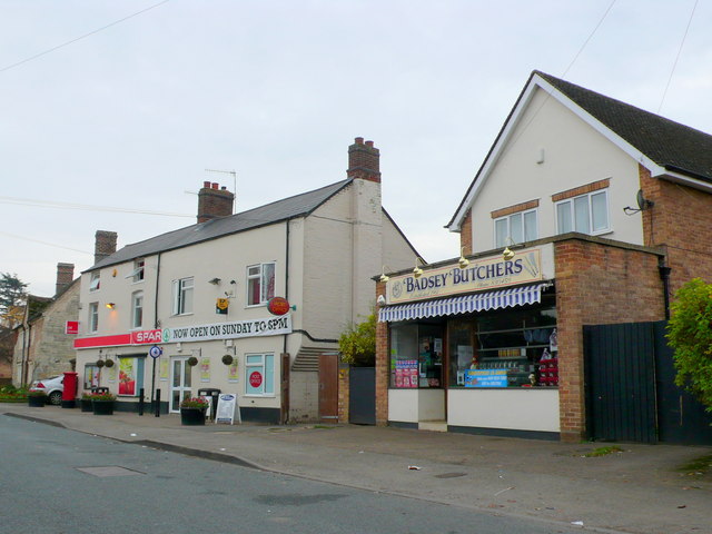
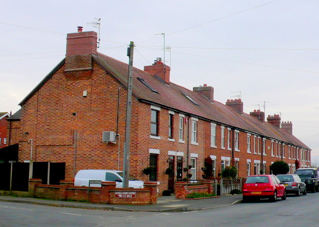
Blackminster is a small village located in the Wychavon district of Worcestershire, England. Situated approximately three miles west of Evesham, it is surrounded by picturesque countryside and enjoys a peaceful rural setting. The village is situated close to the A46 road, providing convenient access to nearby towns and cities.
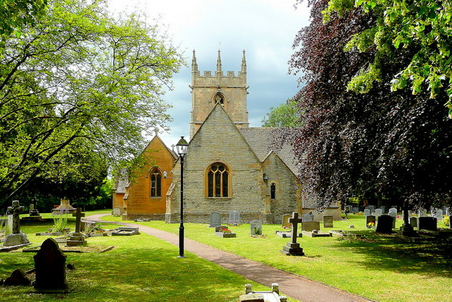
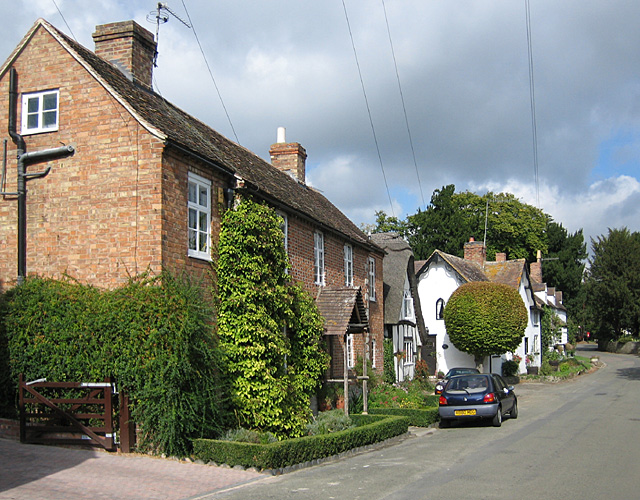
Blackminster has a long history, with evidence of human habitation dating back to the Iron Age. The village is home to a number of traditional buildings, including a charming 13th-century church, St. Catherine's. This historic church is a focal point of the village and attracts visitors with its impressive architecture and beautiful stained glass windows.
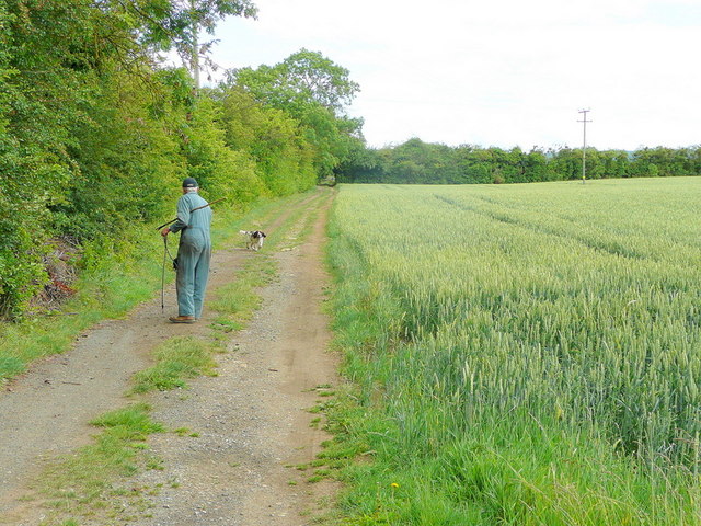
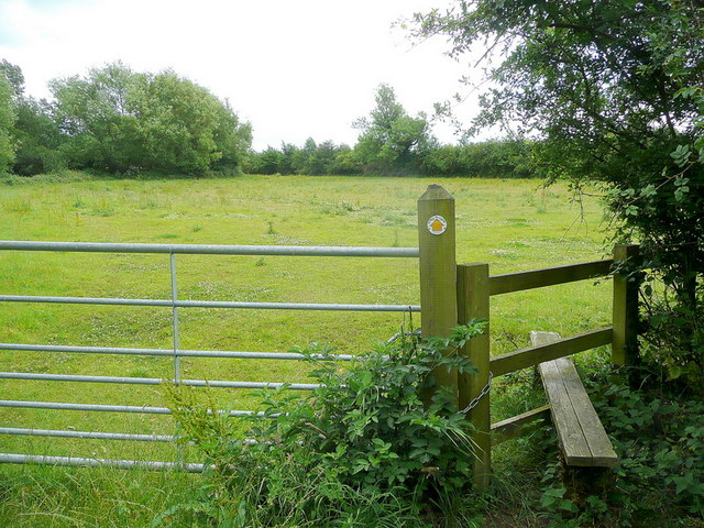
The village is relatively small in size, with a population of around 500 residents. Despite its size, it benefits from a range of local amenities, including a primary school, post office, and a village hall. The area is popular with walkers and nature enthusiasts, thanks to its proximity to the Cotswolds Area of Outstanding Natural Beauty.
Blackminster is also known for its thriving farming community, with many residents involved in agricultural activities. The surrounding fields and farmland contribute to the village's idyllic charm and provide a scenic backdrop.
Overall, Blackminster offers a tranquil and close-knit community, perfect for those seeking a peaceful countryside lifestyle. Its rich history, rural setting, and range of amenities make it an attractive place to live or visit in Worcestershire.
If you have any feedback on the listing, please let us know in the comments section below.
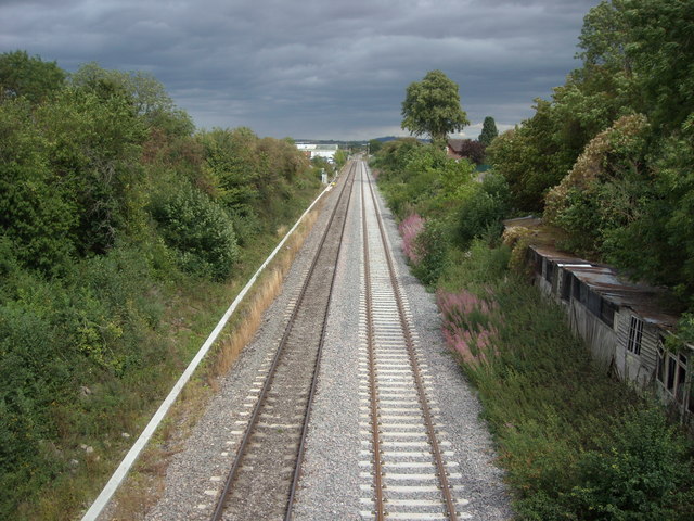
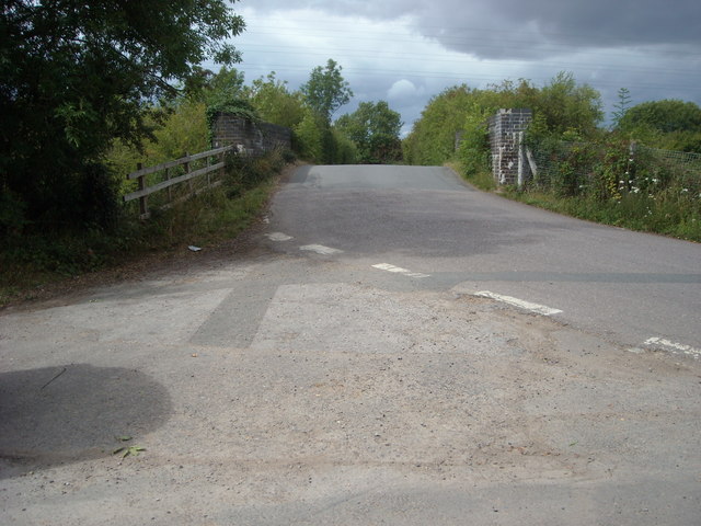
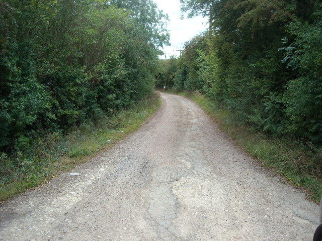
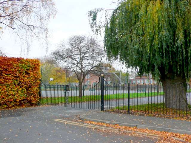
Blackminster Images
Images are sourced within 2km of 52.099657/-1.898506 or Grid Reference SP0744. Thanks to Geograph Open Source API. All images are credited.


Blackminster is located at Grid Ref: SP0744 (Lat: 52.099657, Lng: -1.898506)
Administrative County: Worcestershire
District: Wychavon
Police Authority: West Mercia
What 3 Words
///founding.handyman.agreed. Near Badsey, Worcestershire
Nearby Locations
Related Wikis

Blackminster
Blackminster is a Hamlet in Worcestershire, England. Features include a large middle school, haulage and horticultural produce companies. Littleton and...

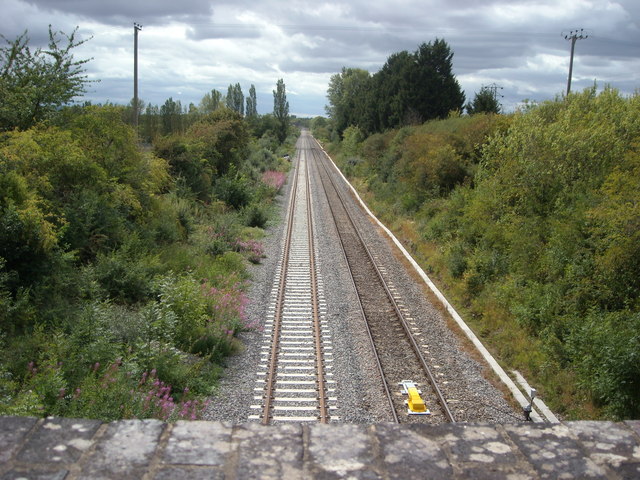
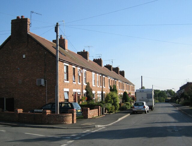
Littleton and Badsey railway station
Littleton and Badsey railway station was a station on the Great Western Railway's Oxford, Worcester and Wolverhampton line, near the town of Evesham, Worcestershire...
Aldington, Worcestershire
Aldington is a village and civil parish in the Wychavon district of Worcestershire, England. It is about three miles east of Evesham, and according to...
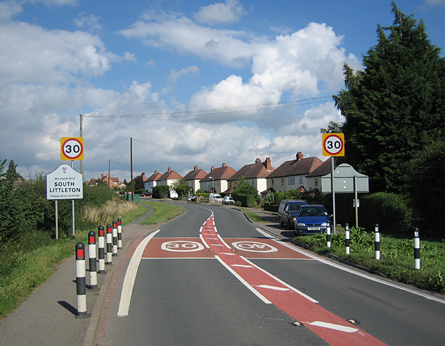
South Littleton
South Littleton is a village and civil parish located in the Wychavon district of Worcestershire, England. South Littleton is located midway between Evesham...
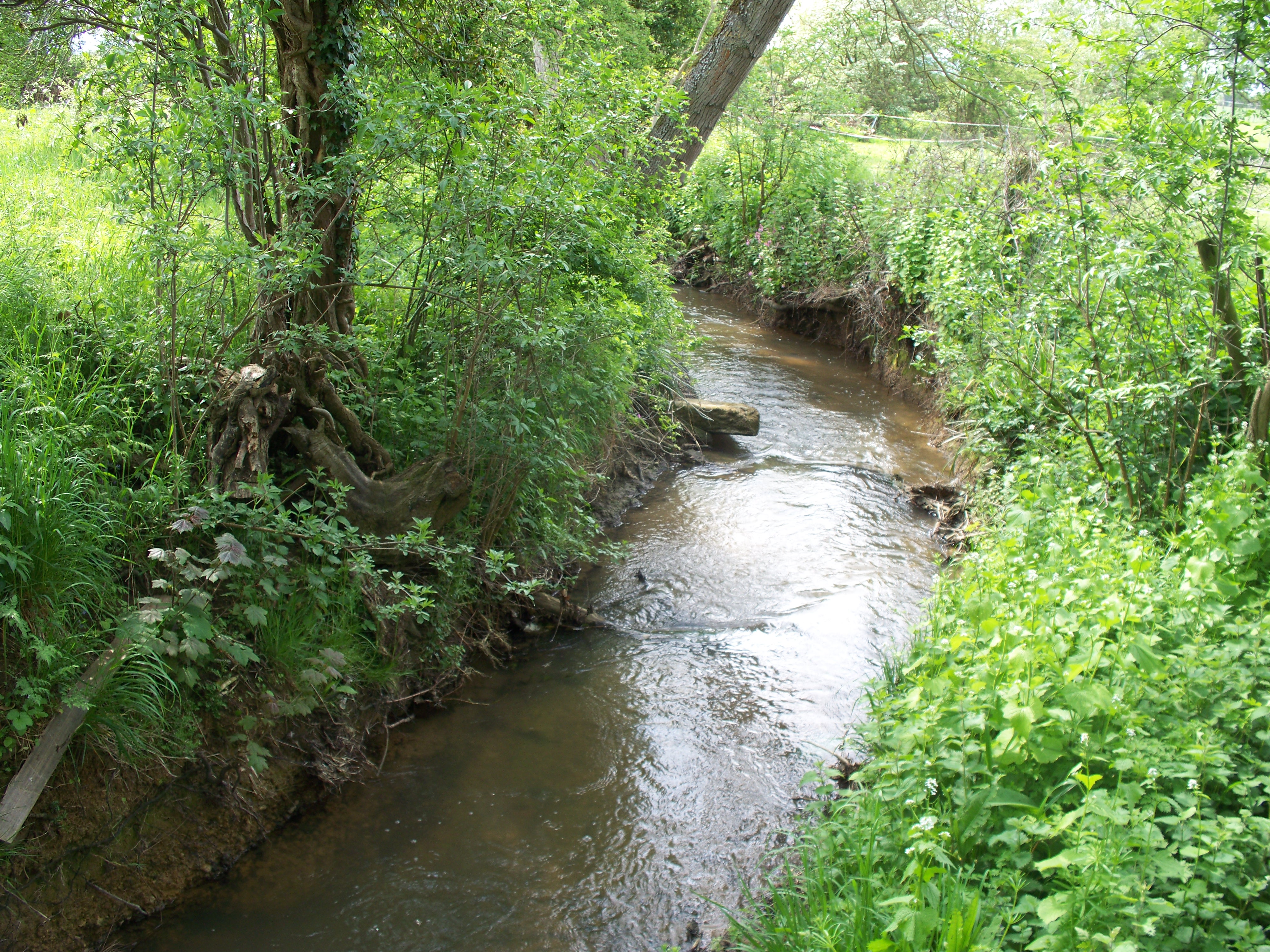
Badsey Brook
The Badsey Brook, also known as the Broadway Brook, is a small brook that flows through Worcestershire, England. It is a lower tributary of the River Avon...
Bretforton
Bretforton is a rural village in Worcestershire, England, 4.4 miles (7.1 km) east of Evesham, in the Vale of Evesham. It is the largest farming village...
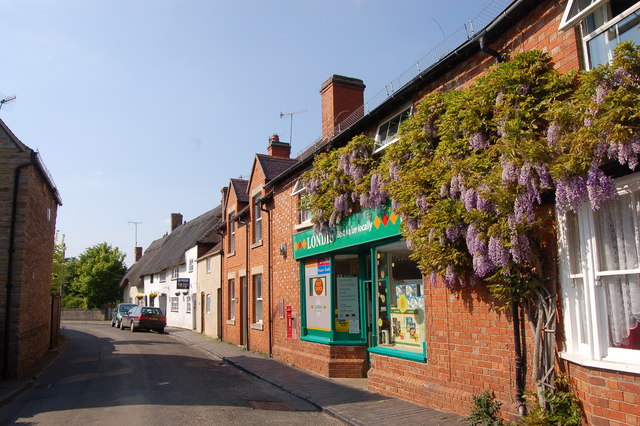
Badsey
Badsey is a village and civil parish in the Wychavon district of Worcestershire, England. It has two parks and a small first school located in the centre...
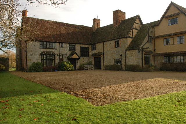
Wickhamford Manor
Wickhamford Manor, Wickhamford, Worcestershire is a manor house dating from the 16th century. It was the childhood home of James Lees-Milne, the writer...
Nearby Amenities
Located within 500m of 52.099657,-1.898506Have you been to Blackminster?
Leave your review of Blackminster below (or comments, questions and feedback).