Blacklands

Settlement in Herefordshire

England

Blacklands

Gateway to Canon Frome Court This grand entrance leads to the church as well as the Georgian mansion, which has served as a County Secondary School but is now flats.  Note that the car park for the church is a narrow right turn just before the gates leading into the curtilage of the house, beyond which tourists are not welcome!
Gateway to Canon Frome Court Credit: Humphrey Bolton

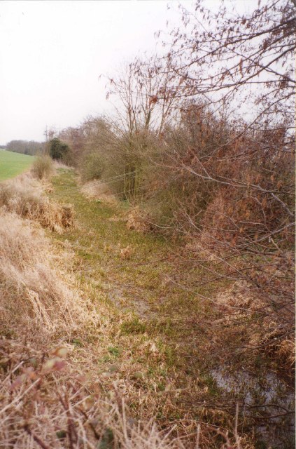
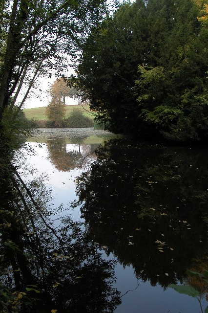
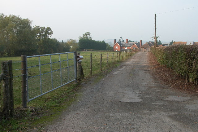
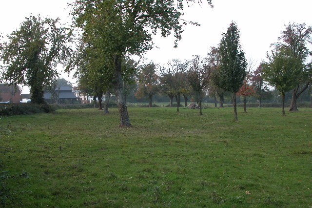
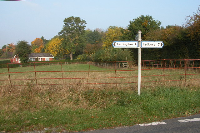
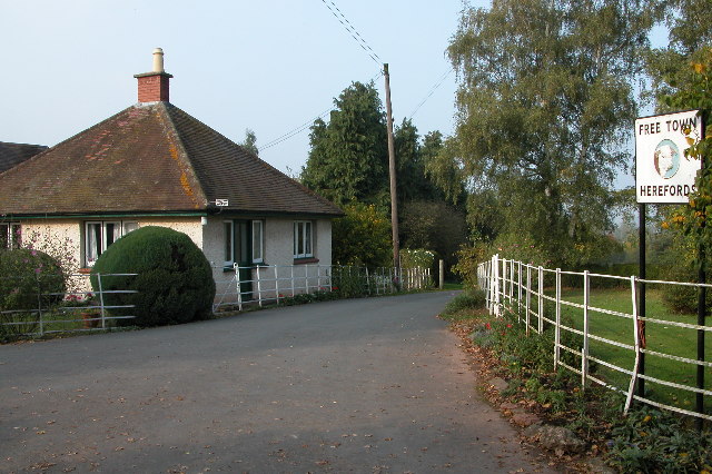
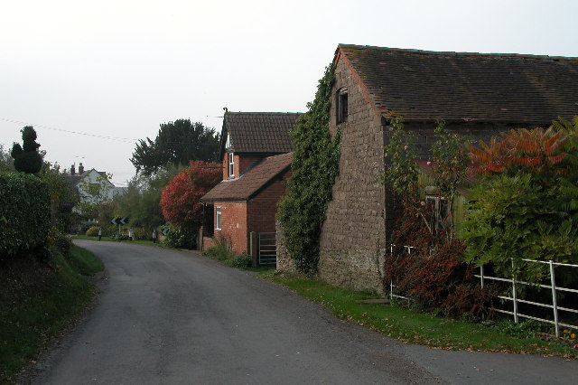
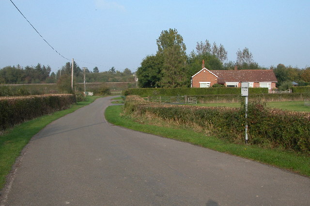
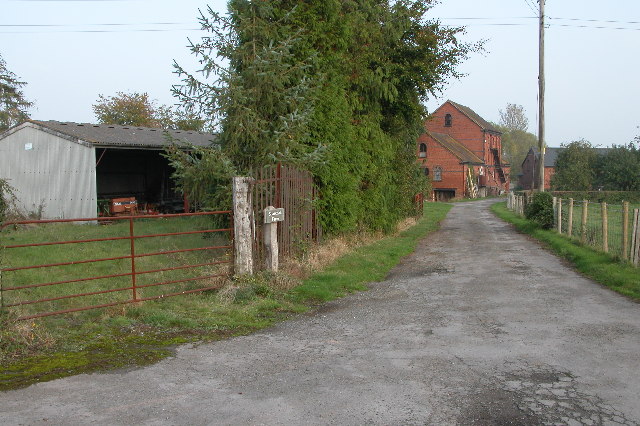
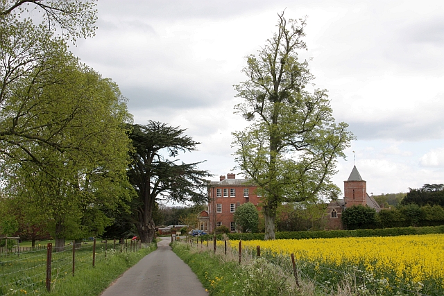
Blacklands is a small village located in the county of Herefordshire, England. Situated in the western part of the county, it is surrounded by picturesque countryside and rolling hills. The village is known for its tranquil atmosphere and unspoiled natural beauty, making it a popular destination for those seeking a peaceful retreat.

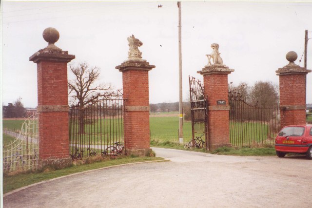
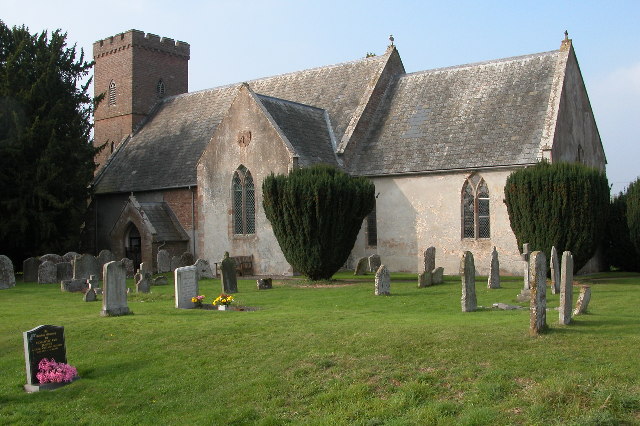
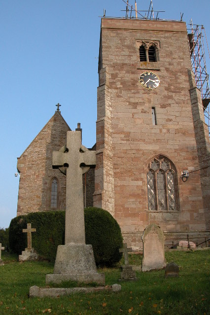
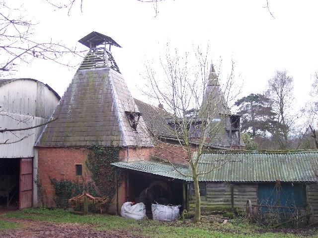
With a population of around 200 residents, Blacklands is a close-knit community that takes pride in its heritage and rural traditions. The village features a charming mix of historic buildings, including a 12th-century church that serves as a focal point for religious and community gatherings. Additionally, there are a handful of traditional cottages and farmhouses that dot the landscape.

Agriculture plays a significant role in the economy of Blacklands, with many residents engaged in farming and livestock rearing. The fertile soil and favorable climate create ideal conditions for cultivating crops, particularly orchards and vineyards. As a result, the village is renowned for its locally produced cider and wine.

While Blacklands may be small in size, it boasts a vibrant community spirit. Regular events and activities are organized by local groups and organizations, fostering a strong sense of camaraderie among residents. The village also benefits from its proximity to the nearby market town of Hereford, where residents can access a wider range of amenities such as shops, schools, and healthcare facilities.

Overall, Blacklands offers a peaceful and idyllic lifestyle amidst the stunning Herefordshire countryside, making it an ideal place for those seeking a close connection with nature and a tight-knit community.

If you have any feedback on the listing, please let us know in the comments section below.
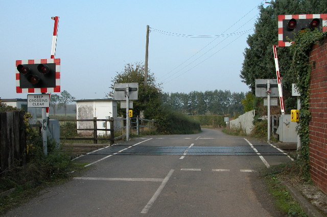
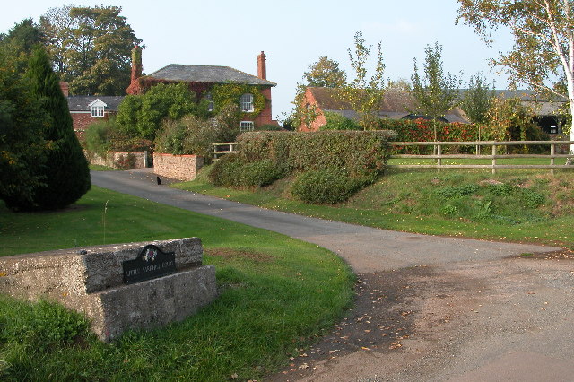
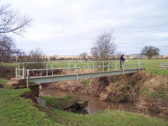
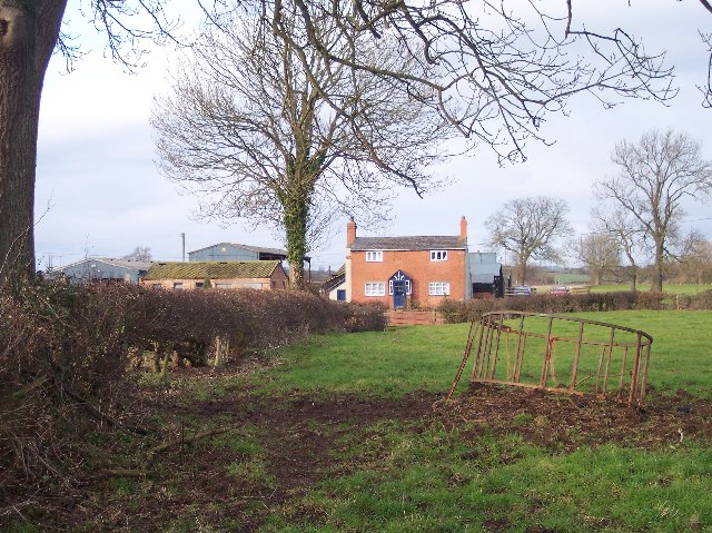
Blacklands Images

Images are sourced within 2km of 52.075118/-2.5412649 or Grid Reference SO6342. Thanks to Geograph Open Source API. All images are credited.

Gateway to Canon Frome Court This grand entrance leads to the church as well as the Georgian mansion, which has served as a County Secondary School but is now flats.  Note that the car park for the church is a narrow right turn just before the gates leading into the curtilage of the house, beyond which tourists are not welcome!
Gateway to Canon Frome Court
This grand entrance leads to the church as well as the Georgian mansion, which has served as a County Secondary School but is now flats. Note that the car park for the church is a narrow right turn just before the gates leading into the curtilage of the house, beyond which tourists are not welcome!
Disused Canal, Canon Frome This was taken looking SE from the road bridge.
Disused Canal, Canon Frome
This was taken looking SE from the road bridge.
Ashperton Church Ashperton church is dedicated to St Bartholomew.
Ashperton Church
Ashperton church is dedicated to St Bartholomew.
Moat at Ashperton Site of Ashperton Castle and moat, the motte (on the right) is now completely overgrown with trees. A licence was granted to William de Grandison to crenelate in 1292.
Moat at Ashperton
Site of Ashperton Castle and moat, the motte (on the right) is now completely overgrown with trees. A licence was granted to William de Grandison to crenelate in 1292.
Lower Town, near Ashperton Driveway to farm at Lower Town, near Ashperton.
Lower Town, near Ashperton
Driveway to farm at Lower Town, near Ashperton.
Orchard at Wood End near Ashperton
Road junction near Tarrington Road junction on quiet country lanes between Tarrington and Ashperton.
Road junction near Tarrington
Road junction on quiet country lanes between Tarrington and Ashperton.
Free Town Herefords Entrance to a farm at Free Town in Little Tarrington. Home of one of the very top Hereford cattle breeders.
<span class="nowrap"><a title="http://www.free-town.co.uk/beef/info.html" rel="nofollow ugc noopener" href="http://www.free-town.co.uk/beef/info.html">Link</a><img style="margin-left:2px;" alt="External link" title="External link - shift click to open in new window" src="https://s1.geograph.org.uk/img/external.png" width="10" height="10"/></span>
<span class="nowrap"><a title="http://www.herefordtimes.com/news/features/farming/3598934.Two_famous_herds_triumph_at_National_Hereford_Show/" rel="nofollow ugc noopener" href="http://www.herefordtimes.com/news/features/farming/3598934.Two_famous_herds_triumph_at_National_Hereford_Show/">Link</a><img style="margin-left:2px;" alt="External link" title="External link - shift click to open in new window" src="https://s1.geograph.org.uk/img/external.png" width="10" height="10"/></span>
Free Town Herefords
Entrance to a farm at Free Town in Little Tarrington. Home of one of the very top Hereford cattle breeders. LinkExternal link LinkExternal link
Little Tarrington Road through the small village of Little Tarrington.
Little Tarrington
Road through the small village of Little Tarrington.
Passing Place on the lane to Little Tarrington In the background is an embankment carrying the Hereford to Worcester railway line.
Passing Place on the lane to Little Tarrington
In the background is an embankment carrying the Hereford to Worcester railway line.
Tarrington Church The church is dedicated to St Philip & St James, much of the church is Norman, however, the tower dates from the 15th century.
Tarrington Church
The church is dedicated to St Philip & St James, much of the church is Norman, however, the tower dates from the 15th century.
Sparchell Farm, Tarrington
Level Crossing at Tarrington The level crossing crosses the Hereford to Worcester railway line.
Level Crossing at Tarrington
The level crossing crosses the Hereford to Worcester railway line.
Little Yarkhill Court The former mill churn stand on the left now being used a somewhere to place a nameplate.
Little Yarkhill Court
The former mill churn stand on the left now being used a somewhere to place a nameplate.
Footbridge Over the River Frome Just down stream from where the river Lodon joins it.
Footbridge Over the River Frome
Just down stream from where the river Lodon joins it.
Covender Farm Viewed from the south from the footpath from Freetown.
Covender Farm
Viewed from the south from the footpath from Freetown.
Moat at Freetown Farm Now an ornamental feature, but when built would have provided some security as well as providing the farmstead with high status. Recognized as a historic site on the Herefordshire County's Sites and Monuments Record.
Moat at Freetown Farm
Now an ornamental feature, but when built would have provided some security as well as providing the farmstead with high status. Recognized as a historic site on the Herefordshire County's Sites and Monuments Record.
Two Styles of Oast Houses, Freetown I think the round oast house is earlier, but the square one must be simpler to construct.
Two Styles of Oast Houses, Freetown
I think the round oast house is earlier, but the square one must be simpler to construct.
Show me another place!

Blacklands is located at Grid Ref: SO6342 (Lat: 52.075118, Lng: -2.5412649)

Unitary Authority: County of Herefordshire

Police Authority: West Mercia

What 3 Words

///educates.logs.boomed. Near Ocle Pychard, Herefordshire

Related Wikis

Ashperton

Ashperton is a small village, parish and former manor about twelve miles east of the City of Hereford, in Herefordshire, England. The village is on the...

Stretton Grandison

Stretton Grandison is a hamlet and small civil parish in Herefordshire, England. The population of the civil parish at the 2011 census was 175.It is on...

Stoke Edith railway station

Stoke Edith railway station was a station in Tarrington, Herefordshire, England. The station served the nearby village of Stoke Edith, was opened in 1861...

Tarrington

Tarrington is a small village in Herefordshire, England located halfway between Ledbury and Hereford on the A438 road. == The village == The village has...

Canon Frome

Canon Frome is a hamlet and small rural parish on the River Frome, 5 miles northwest of Ledbury, Herefordshire, England with a population of 139. Its most...

Alder's End

Alder's End is a small village in Herefordshire, England. It is about 8 miles (13 km) east of Hereford and is near the A438 road. The village falls within...

Yarkhill

Yarkhill is a village in Herefordshire, England located about 9 miles (14 km) from both Hereford and Ledbury. The village is Anglo-Saxon in origin and...

Ashperton railway station

Ashperton railway station was a railway station serving the village of Ashperton in Herefordshire, England. It was located on what is now known as the...

Nearby Amenities

Located within 500m of 52.075118,-2.5412649
Tuston
Place: locality
Source: OS_OpenData_StreetView
Lat/Long: 52.0727223/-2.5368816
Power: pole
Source: bing
Lat/Long: 52.0730141/-2.535928
Power: pole
Source: bing
Lat/Long: 52.0733233/-2.5350496
Power: pole
Source: bing
Lat/Long: 52.0712398/-2.5436313
Power: pole
Source: bing
Lat/Long: 52.0714298/-2.5426188
Power: pole
Source: bing
Lat/Long: 52.0716144/-2.5416237
Power: pole
Source: bing
Lat/Long: 52.0718057/-2.540575
Power: pole
Source: bing
Lat/Long: 52.0719722/-2.5396657
Power: pole
Source: bing
Lat/Long: 52.0721239/-2.5388289
Power: pole
Source: bing
Lat/Long: 52.0722937/-2.5379115
Power: pole
Source: bing
Lat/Long: 52.0726432/-2.5369164
Power: pole
Source: bing
Lat/Long: 52.0723563/-2.5357027
Freetown
Power: pole
Transformer: distribution
Voltage Primary: 11000
Lat/Long: 52.0765305/-2.5459126
Power: pole
Lat/Long: 52.0760929/-2.5455961
Power: pole
Lat/Long: 52.0754755/-2.5451253
Power: pole
Lat/Long: 52.0750518/-2.5442322
Power: pole
Lat/Long: 52.0746075/-2.5432706
Power: pole
Lat/Long: 52.0740289/-2.5420448
Power: pole
Lat/Long: 52.0737041/-2.5413582
Power: pole
Lat/Long: 52.0731304/-2.5411235
Power: pole
Lat/Long: 52.0724734/-2.5408459
Power: pole
Lat/Long: 52.0712088/-2.5403416
Tuston
Power: pole
Transformer: distribution
Voltage Primary: 11000
Lat/Long: 52.0734415/-2.5376923
Power: pole
Lat/Long: 52.0730026/-2.5372718
The data included in this document is from www.openstreetmap.org. The data is made available under ODbL.

Have you been to Blacklands?

Leave your review of Blacklands below (or comments, questions and feedback).