Blackhillock

Settlement in Banffshire

Scotland

Blackhillock

Gravel track, Keith Showground
Gravel track, Keith Showground Credit: Steven Brown

Blackhillock is a small village located in the historic county of Banffshire, Scotland. Situated in the northeast of the country, it lies approximately 5 miles southeast of the town of Keith and 15 miles northwest of the city of Aberdeen. The village is nestled amidst picturesque rolling hills and offers breathtaking views of the surrounding countryside.

Blackhillock has a rich history, with records dating back several centuries. The area was predominantly agricultural, and farming played a vital role in the local economy. However, in recent years, there has been a shift towards a more diversified economy, with an increase in tourism and other industries.

The village itself is characterized by traditional stone-built houses, giving it a charming and quaint atmosphere. It has a close-knit community, and residents often engage in various social activities. The village also boasts a primary school, providing education for the local children.

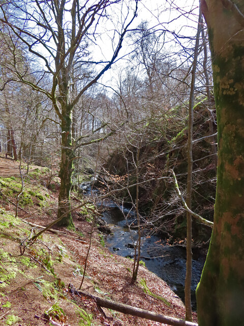
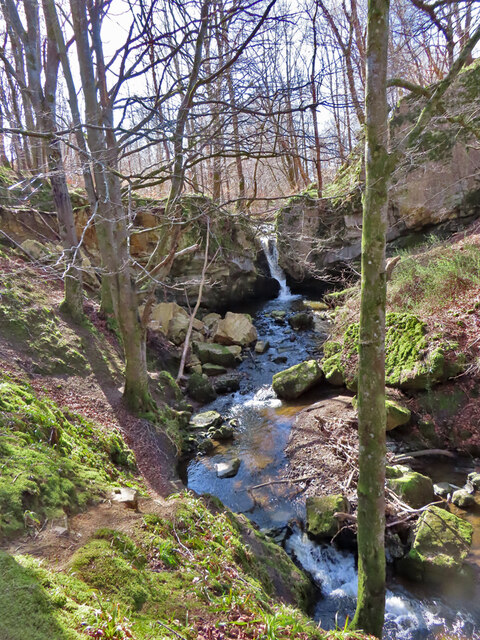
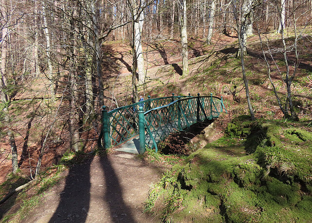
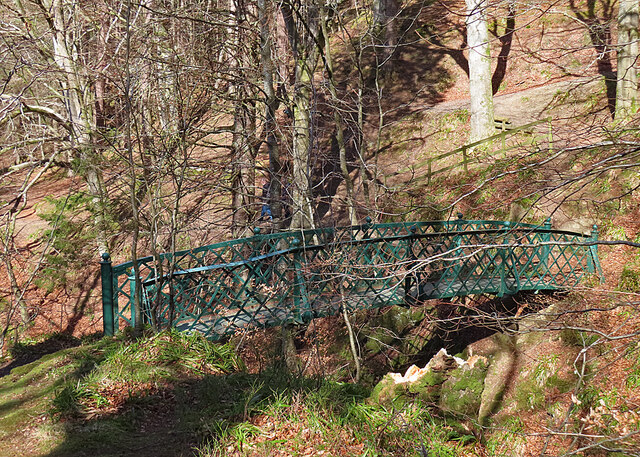
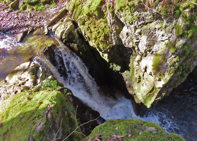
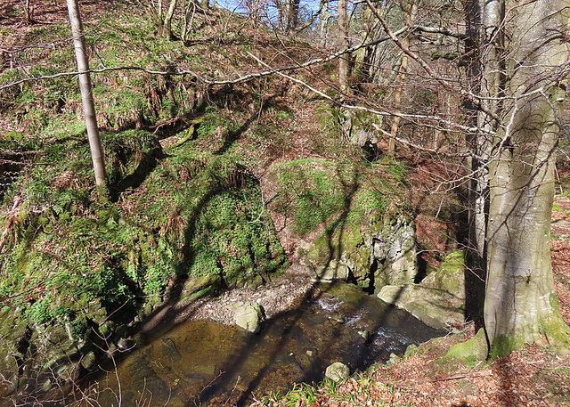
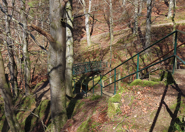
Blackhillock is well-positioned for outdoor enthusiasts, with numerous walking and cycling trails in the vicinity. The stunning landscape offers ample opportunities for nature lovers, who can explore the nearby forests, rivers, and hills. The village is also within easy reach of several renowned tourist destinations, such as the picturesque coastal towns of Banff and Macduff.

In summary, Blackhillock is a small but vibrant village in Banffshire, Scotland, known for its scenic beauty, rich history, and welcoming community. It offers a peaceful and idyllic setting for those seeking a tranquil retreat or an escape from the bustling city life.

If you have any feedback on the listing, please let us know in the comments section below.
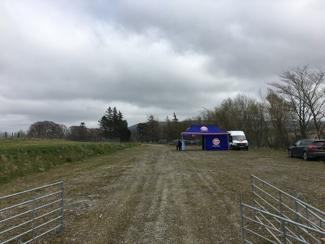
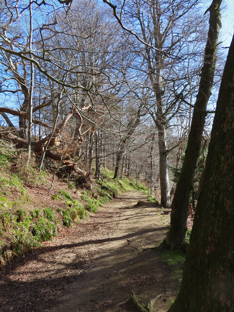
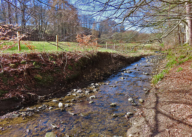
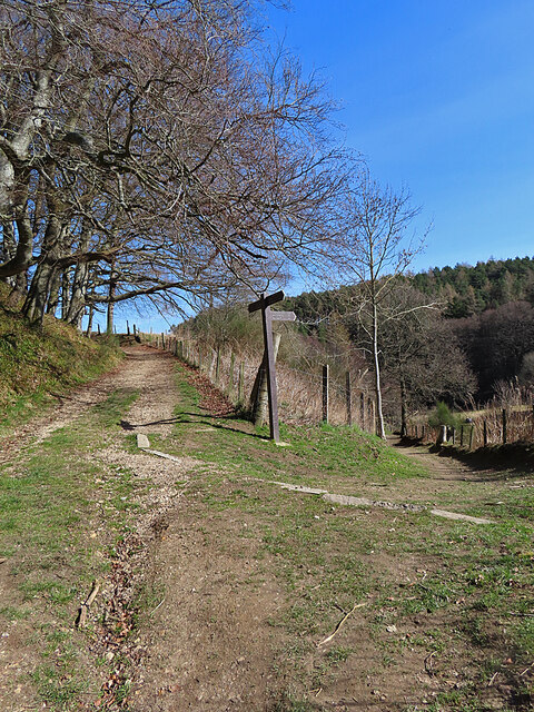
Blackhillock Images

Images are sourced within 2km of 57.518565/-2.9532242 or Grid Reference NJ4348. Thanks to Geograph Open Source API. All images are credited.

Gravel track, Keith Showground
Roving Trolley The trolley, presumably escaped from the supermarket in Keith, has made it as far as the old main road through the Den of Keith. There was a second one not far away; it is to be hoped that they will not breed and multiply in the wild.
Roving Trolley
The trolley, presumably escaped from the supermarket in Keith, has made it as far as the old main road through the Den of Keith. There was a second one not far away; it is to be hoped that they will not breed and multiply in the wild.
Den of Keith Mature beech trees above a carpet of Woodrush and Ramsons in the Den of Keith.
Den of Keith
Mature beech trees above a carpet of Woodrush and Ramsons in the Den of Keith.
Den of Keith A popular path follows the Den Burnthrough the woods.
Den of Keith
A popular path follows the Den Burnthrough the woods.
Den of Keith The well-used path winds through woods of Beech and Scots Pine.
Den of Keith
The well-used path winds through woods of Beech and Scots Pine.
Den of Keith The path above the Den Burn did not escape the damage in recent storms, but the fallen trees have been cleared from the path itself.
Den of Keith
The path above the Den Burn did not escape the damage in recent storms, but the fallen trees have been cleared from the path itself.
Den Burn The Den Burn rises in damp ground on the outskirts of Keith and flows south-eastwards, eventually conbining with the Burn of Tarnash to form the Burn of Drum.
Den Burn
The Den Burn rises in damp ground on the outskirts of Keith and flows south-eastwards, eventually conbining with the Burn of Tarnash to form the Burn of Drum.
Waymarker The right-hand path goes to the Falls of Tarnash, and the left-hand one returns to Keith.
Waymarker
The right-hand path goes to the Falls of Tarnash, and the left-hand one returns to Keith.
Burn of Tarnash The lower reach of the Burn of Tarnash before it meets the Den Burn.
Burn of Tarnash
The lower reach of the Burn of Tarnash before it meets the Den Burn.
Falls of Tarnash Between the trees getting in the way, and the sun being in the wrong direction, the Falls of Tarnash are not easy to photograph well. They are the result of the Burn of Tarnash encountering a small outcrop of hard and very resistant metadolomite. The surrounding country rock is mostly phyllite, psammite and semipelite.
Falls of Tarnash
Between the trees getting in the way, and the sun being in the wrong direction, the Falls of Tarnash are not easy to photograph well. They are the result of the Burn of Tarnash encountering a small outcrop of hard and very resistant metadolomite. The surrounding country rock is mostly phyllite, psammite and semipelite.
Footbridge The bridge spans the Burn of Herricks and gives access to [<a href="https://www.geograph.org.uk/photo/7449251">NJ4449 : Falls of Tarnash</a>.
Footbridge
The bridge spans the Burn of Herricks and gives access to [NJ4449 : Falls of Tarnash.
Iron Bridge The iron lattice footbridge links the Falls of Tarnash to the Den of Keith, crossing high above the Burn of Herricks.
Iron Bridge
The iron lattice footbridge links the Falls of Tarnash to the Den of Keith, crossing high above the Burn of Herricks.
Falls of Tar The modest but picturesque waterfall plunges through a narrow gap in an outcrop of hard and erosion-resistant metadolomite.
Falls of Tar
The modest but picturesque waterfall plunges through a narrow gap in an outcrop of hard and erosion-resistant metadolomite.
Above the Falls of Tarnash At right of centre you can see where the water disappears over the lip of the falls into a small gorge.
Above the Falls of Tarnash
At right of centre you can see where the water disappears over the lip of the falls into a small gorge.
Stepped Path The path climbs from the bridge over the Burn of Herricks up a series of steps to reach the top of the Falls of Tarnash.
Stepped Path
The path climbs from the bridge over the Burn of Herricks up a series of steps to reach the top of the Falls of Tarnash.
Path Junction To the left is the path through the Den of Keith, and another path, not on the maps, climbs to the right to Dunnyduff.
Path Junction
To the left is the path through the Den of Keith, and another path, not on the maps, climbs to the right to Dunnyduff.
Ivy Bridge A tree wreathed in ivy stems has fallen across the Burn of Tarnash, its fall halted by another tree on this side of the burn. The ivy, preferring to grow upwards, has abandoned its original host and is now climbing the second tree.
Ivy Bridge
A tree wreathed in ivy stems has fallen across the Burn of Tarnash, its fall halted by another tree on this side of the burn. The ivy, preferring to grow upwards, has abandoned its original host and is now climbing the second tree.
Burn of Tarnash The final reach of the Burn of Tarnash before its confluence with the Den Burn just a few metres behind me.
Burn of Tarnash
The final reach of the Burn of Tarnash before its confluence with the Den Burn just a few metres behind me.
Show me another place!

Blackhillock is located at Grid Ref: NJ4348 (Lat: 57.518565, Lng: -2.9532242)

Unitary Authority: Moray

Police Authority: North East

What 3 Words

///fittingly.backfired.relishing. Near Keith, Moray

Nearby Locations

Blackhillock Blackhillock

Related Wikis

Blackhillock Substation

Blackhillock Substation is an electrical substation located in the north east of Scotland, near the town of Keith in Moray. It is owned and operated by...

St Thomas's Church, Keith

St Thomas's Church is a Roman Catholic church in Keith, in Moray, Scotland. It is a cruciform building, exhibiting features of neoclassical and baroque...

Mill of Towie

The Mill of Towie is a nineteenth-century mill building, with an attached kiln, situated close the River Isla, approximately 2 miles (3.2 km) south of...

Auchindachy railway station

Auchindachy railway station served the village of Auchindachy in Scotland. Served by the Keith and Dufftown railway, it was the last station before Keith...

Strathmill distillery

Strathmill distillery is one of three distilleries within the Moray town of Keith at the heart of "Malt Whisky Country". Unlike Keith's other two distilleries...

Kynoch Park

Kynoch Park is a football ground in Keith in north-east Scotland, which is the home ground of Highland Football League side Keith F.C. It is located on...

Pitlurg Castle

Pitlurg Castle was a 16th-century keep, about 3.5 miles (5.6 km) south of Keith, Banffshire, Scotland, north of the Burn of Davidston, at Mains of Pitlurg...

Turner Memorial Hospital

Turner Memorial Hospital is a community hospital in Keith, Morayshire, Scotland. It is administered by NHS Grampian. == History == The hospital was financed...

Nearby Amenities

Located within 500m of 57.518565,-2.9532242
Power: transformer
Lat/Long: 57.5221491/-2.948496
Power: transformer
Lat/Long: 57.5221505/-2.9490647
Power: pole
Lat/Long: 57.5173671/-2.9456556
Power: pole
Lat/Long: 57.5184042/-2.9475009
Power: pole
Lat/Long: 57.5203516/-2.9510682
Location Transition: yes
Power: portal
Lat/Long: 57.5220569/-2.9521358
Power: pole
Lat/Long: 57.5210602/-2.9522646
Power: pole
Lat/Long: 57.5215399/-2.9523692
Location Transition: yes
Power: portal
Lat/Long: 57.5220641/-2.9524791
Power: pole
Lat/Long: 57.5194298/-2.9494268
Frequency: 50
Location: outdoor
Power: transformer
Transformer: auxiliary
Voltage Primary: 320000
Lat/Long: 57.5210656/-2.9512352
Frequency: 50
Location: outdoor
Power: transformer
Transformer: main
Voltage Primary: 320000
Lat/Long: 57.5210647/-2.9509814
Power: transformer
Lat/Long: 57.5210607/-2.950714
Power: transformer
Lat/Long: 57.5210585/-2.9504652
The data included in this document is from www.openstreetmap.org. The data is made available under ODbL.

Have you been to Blackhillock?

Leave your review of Blackhillock below (or comments, questions and feedback).