Rodbaston

Settlement in Staffordshire South Staffordshire

England

Rodbaston

Filance Lock near Penkridge in Staffordshire Filance Lock is No 37 on the Staffordshire and Worcestershire Canal near Penkridge, by Templars Way. It proviseds a fall (or rise) of 10ft 3in (about 3·1 metres).
Filance Lock near Penkridge in Staffordshire Credit: Roger D Kidd

Rodbaston is a rural area located in the county of Staffordshire, England. Situated approximately 5 miles north-east of Stafford, the village is surrounded by picturesque countryside and offers a tranquil and idyllic setting for its residents and visitors.

The area is primarily known for Rodbaston Hall, a beautiful Grade II listed country house that dates back to the 19th century. The hall boasts stunning architecture, with its grand entrance and expansive grounds making it a popular venue for weddings and other events. The surrounding parkland is home to a diverse range of wildlife, including deer and various bird species, making it a haven for nature enthusiasts.

Rodbaston is also home to South Staffordshire College's Rodbaston Campus, a leading agricultural and equestrian college. The campus offers a wide range of courses and training programs in subjects such as animal care, horticulture, and equine studies. The college's facilities include modern classrooms, well-equipped laboratories, and a working farm, providing students with hands-on experience and practical skills.

The village itself is small but charming, with a few local amenities including a village hall, a post office, and a local pub. The surrounding countryside offers numerous opportunities for outdoor activities, such as walking, cycling, and horse riding, making it a popular destination for nature lovers and outdoor enthusiasts.

Overall, Rodbaston is a peaceful and scenic area that combines the beauty of its natural surroundings with the historical charm of Rodbaston Hall and the educational opportunities offered by South Staffordshire College.

If you have any feedback on the listing, please let us know in the comments section below.
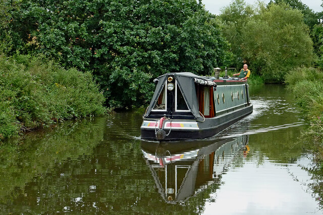
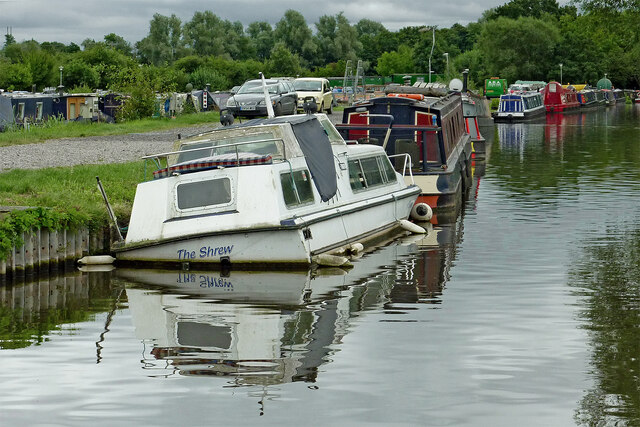
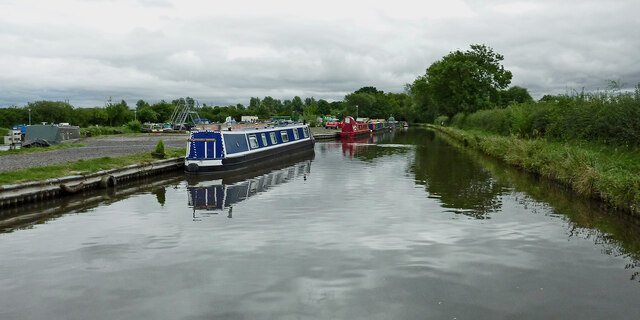
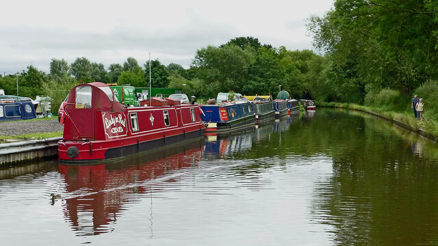
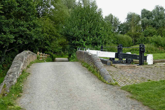
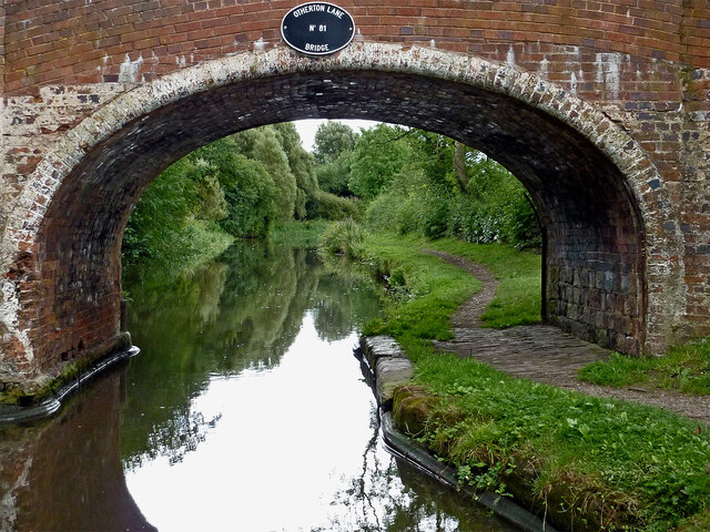
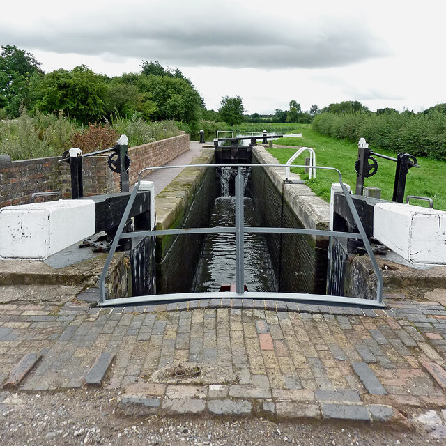
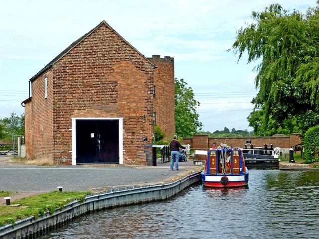
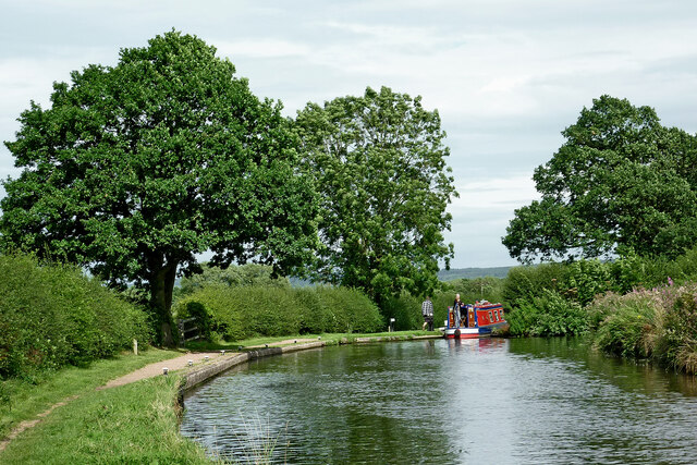
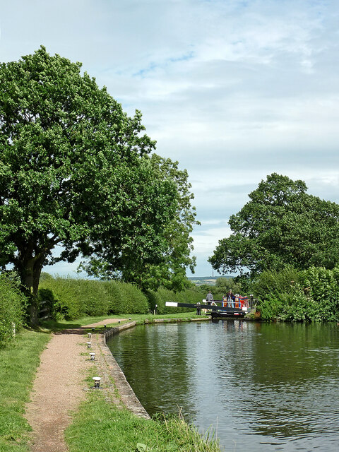
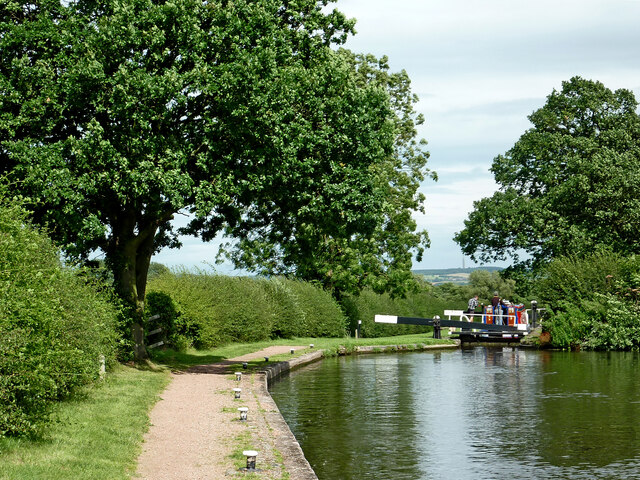
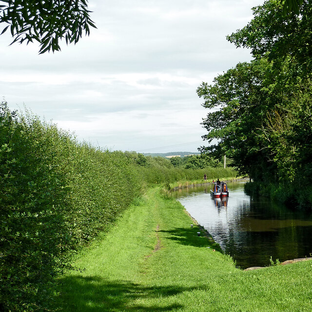
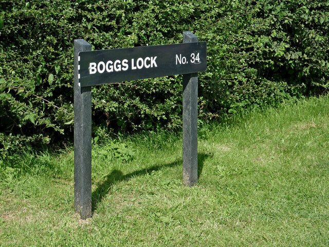
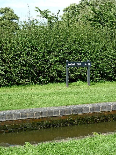
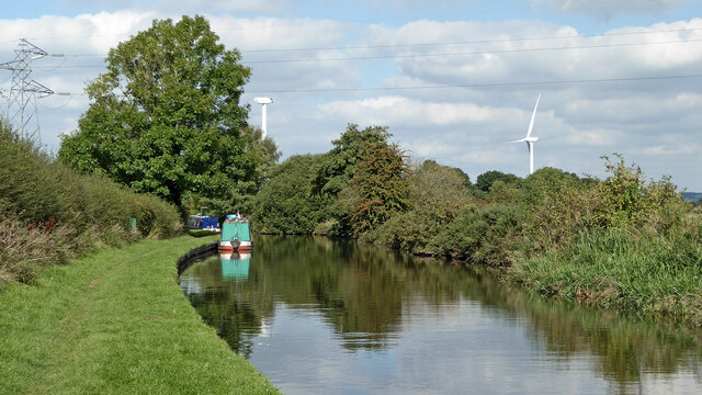
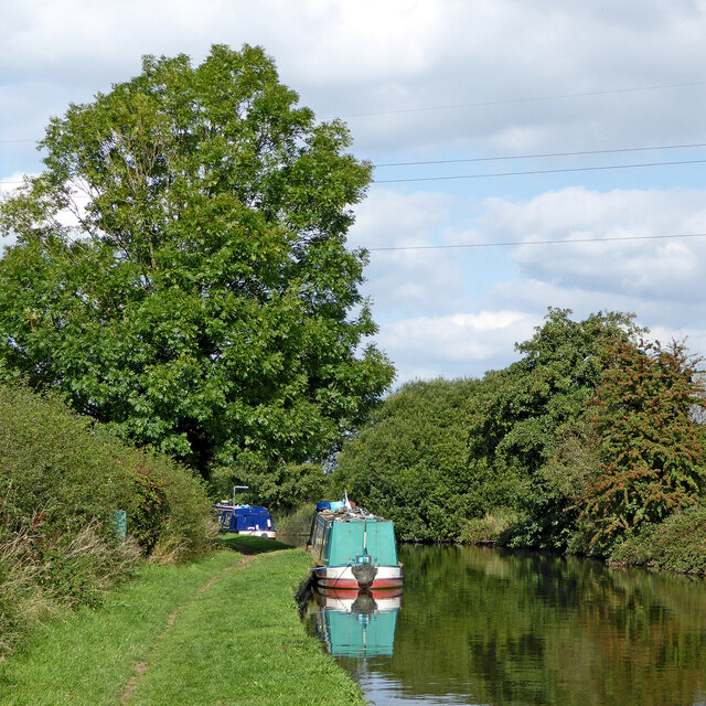
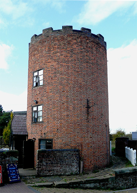
Rodbaston Images

Images are sourced within 2km of 52.704684/-2.120587 or Grid Reference SJ9111. Thanks to Geograph Open Source API. All images are credited.

Filance Lock near Penkridge in Staffordshire Filance Lock is No 37 on the Staffordshire and Worcestershire Canal near Penkridge, by Templars Way. It proviseds a fall (or rise) of 10ft 3in (about 3·1 metres).
Filance Lock near Penkridge in Staffordshire
Filance Lock is No 37 on the Staffordshire and Worcestershire Canal near Penkridge, by Templars Way. It proviseds a fall (or rise) of 10ft 3in (about 3·1 metres).
Wading heron south of Penkridge, Staffordshire Unusually this bird decided not to fly off as we passed it on the Staffordshire and Worcestershire Canal. Teveray Drive housing is by the canal, above.
Wading heron south of Penkridge, Staffordshire
Unusually this bird decided not to fly off as we passed it on the Staffordshire and Worcestershire Canal. Teveray Drive housing is by the canal, above.
Canal cruising south of Penkridge in Staffordshire This is the Staffordshire and Worcestershire Canal at the southern edge of Penkridge, looking south-east as the canal meanders towards Wolverhampton and Stourport.
Canal cruising south of Penkridge in Staffordshire
This is the Staffordshire and Worcestershire Canal at the southern edge of Penkridge, looking south-east as the canal meanders towards Wolverhampton and Stourport.
Sunken boat by Otherton Marina near Penkridge A notice on the boat stated that it had been hit by a passing hire boat. Staffordshire and Worcestershire Canal.
Sunken boat by Otherton Marina near Penkridge
A notice on the boat stated that it had been hit by a passing hire boat. Staffordshire and Worcestershire Canal.
Staffordshire and Worcestershire Canal south of Penkridge Looking south-east towards Wolverhampton and Stourport. Otherton Marina is on the left.
Staffordshire and Worcestershire Canal south of Penkridge
Looking south-east towards Wolverhampton and Stourport. Otherton Marina is on the left.
Staffordshire and Worcestershire Canal south of Penkridge Looking south-east towards Wolverhampton and Stourport. Otherton Marina is on the left.
Staffordshire and Worcestershire Canal south of Penkridge
Looking south-east towards Wolverhampton and Stourport. Otherton Marina is on the left.
Otherton Bridge and Lock near Penkridge, Staffordshire Otherton Bridge is No 83 across the Staffordshire and Worcestershire Canal south of Penkridge. It is an accommodation bridge which also carries a public footpath. Otherton Lock provides a rise (or fall) of 10ft 3in (3·1 metres).
The noisy M6 motorway is behind the trees.
Otherton Bridge and Lock near Penkridge, Staffordshire
Otherton Bridge is No 83 across the Staffordshire and Worcestershire Canal south of Penkridge. It is an accommodation bridge which also carries a public footpath. Otherton Lock provides a rise (or fall) of 10ft 3in (3·1 metres). The noisy M6 motorway is behind the trees.
Staffordshire and Worcestershire Canal south of Penkridge Looking south towards Wolverhampton through the arch of Otherton Lane Bridge, No 81.
Staffordshire and Worcestershire Canal south of Penkridge
Looking south towards Wolverhampton through the arch of Otherton Lane Bridge, No 81.
Rodbaston Lock near Gailey in Staffordshire Rodbaston Lock is No 35 on the Staffordshire and Worcestershire Canal south of Penkridge. It provides a rise (or fall) of 8ft 6in (26 metres). Rodbaston Lock Bridge in the foreground is No 80 and used to be at the end of Gailey Lea Lane. Following construction of the nearby M6 motorway by 1968, the bridge became redundant, though a public footpath still crosses it.
Rodbaston Lock near Gailey in Staffordshire
Rodbaston Lock is No 35 on the Staffordshire and Worcestershire Canal south of Penkridge. It provides a rise (or fall) of 8ft 6in (26 metres). Rodbaston Lock Bridge in the foreground is No 80 and used to be at the end of Gailey Lea Lane. Following construction of the nearby M6 motorway by 1968, the bridge became redundant, though a public footpath still crosses it.
Canal at Gailey Lock and Bridge, Staffordshire Gailey Top Lock is No 32 on the Staffordshire and Worcestershire Canal. This is the first of four fairly widely spaced locks. The A5 Watling Street crosses the canal here.
Canal at Gailey Lock and Bridge, Staffordshire
Gailey Top Lock is No 32 on the Staffordshire and Worcestershire Canal. This is the first of four fairly widely spaced locks. The A5 Watling Street crosses the canal here.
Staffordshire and Worcestershire Canal near Gailey in Staffordshire The narrowboat is about to move into Brick Kiln Lock, No 33.
Staffordshire and Worcestershire Canal near Gailey in Staffordshire
The narrowboat is about to move into Brick Kiln Lock, No 33.
Canal at Brick Kiln Lock near Gailey, Staffordshire Brick Kiln Lock is No 33 on the Staffordshire and Worcestershire Canal near Gailey. It is one of four fairly widely spaced locks descending from Gailey Top Lock by Watling Street.
Canal at Brick Kiln Lock near Gailey, Staffordshire
Brick Kiln Lock is No 33 on the Staffordshire and Worcestershire Canal near Gailey. It is one of four fairly widely spaced locks descending from Gailey Top Lock by Watling Street.
Canal at Brick Kiln Lock near Gailey, Staffordshire Looking north-east towards Penkridge, Stafford and Great Haywood Junction (with the Trent and Mersey Canal).
Brick Kiln Lock is No 33 on the Staffordshire and Worcestershire Canal near Gailey. It is one of four fairly widely spaced locks descending from Gailey Top Lock by Watling Street.
Canal at Brick Kiln Lock near Gailey, Staffordshire
Looking north-east towards Penkridge, Stafford and Great Haywood Junction (with the Trent and Mersey Canal). Brick Kiln Lock is No 33 on the Staffordshire and Worcestershire Canal near Gailey. It is one of four fairly widely spaced locks descending from Gailey Top Lock by Watling Street.
Staffordshire and Worcestershire Canal near Gailey in Staffordshire Looking north-east towards Penkridge, from Brick Kiln Lock, No 33..
Staffordshire and Worcestershire Canal near Gailey in Staffordshire
Looking north-east towards Penkridge, from Brick Kiln Lock, No 33..
Boggs Lock near Gailey in Staffordshire Boggs Lock is No 34 on the Staffordshire and Worcestershire Canal south of Penkridge. It provides a rise (or fall) of 8ft 6in (2·6 metres).
Boggs Lock near Gailey in Staffordshire
Boggs Lock is No 34 on the Staffordshire and Worcestershire Canal south of Penkridge. It provides a rise (or fall) of 8ft 6in (2·6 metres).
Staffordshire and Worcestershire Canal near Gailey, Staffordshire Looking north towards Penkridge.
Staffordshire and Worcestershire Canal near Gailey, Staffordshire
Looking north towards Penkridge.
Canal near Gailey in Staffordshire Looking north towards Penkridge.
Canal near Gailey in Staffordshire
Looking north towards Penkridge.
Show me another place!

Rodbaston is located at Grid Ref: SJ9111 (Lat: 52.704684, Lng: -2.120587)

Administrative County: Staffordshire

District: South Staffordshire

Police Authority: Staffordshire

What 3 Words

///easily.crescendo.lives. Near Penkridge, Staffordshire

Nearby Locations

Rodbaston

Related Wikis

The Rural Enterprise Academy

The Rural Enterprise Academy is a coeducational high school and sixth form located in Penkridge, Staffordshire, UK. It was the first dedicated land-based...

Rodbaston

Rodbaston is a village in Staffordshire, England. The population as taken at the 2011 census can be found under Penkridge. It is the location of a campus...

Penkridge weather station

Penkridge weather station is a weather station at Penkridge in Staffordshire, England, operated by the Met Office. It is situated on the site of Rodbaston...

Gailey, Staffordshire

Gailey is a small village in Staffordshire, England. It is at the junction of the A5 and A449 roads, and is on the boundary of the parishes of Brewood...

Nearby Amenities

Located within 500m of 52.704684,-2.120587
Power: tower
Lat/Long: 52.7020662/-2.1258433
Power: tower
Lat/Long: 52.7043981/-2.1277262
Access: yes
Entrance: main
Wheelchair: yes
Lat/Long: 52.7005726/-2.1221814
The data included in this document is from www.openstreetmap.org. The data is made available under ODbL.

Have you been to Rodbaston?

Leave your review of Rodbaston below (or comments, questions and feedback).