Blackhill
Settlement in Aberdeenshire
Scotland
Blackhill

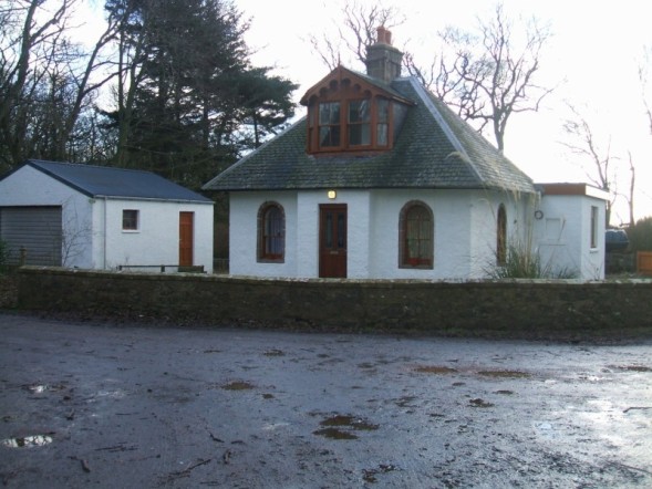
Blackhill is a small rural village located in Aberdeenshire, Scotland. Situated approximately 30 miles west of Aberdeen, it is nestled amidst breathtaking natural landscapes and rolling hills. The village is marked by its tranquil and serene atmosphere, making it an ideal retreat for those seeking a peaceful countryside experience.
With a population of around 500 residents, Blackhill retains a close-knit community feel. The village is primarily residential, dotted with charming cottages and farmhouses. The surrounding countryside offers picturesque views, with fields and woodlands providing ample opportunities for outdoor activities such as hiking, cycling, and birdwatching.
Despite its small size, Blackhill offers a range of amenities to cater to its residents. A local shop caters to basic needs, while a nearby town provides more extensive shopping options. The village is well-connected to neighboring areas via a network of roads, ensuring easy access to nearby towns and cities.
Blackhill boasts a rich history, and visitors can explore its heritage through various landmarks and historical sites. Nearby attractions include the imposing Dunnottar Castle, perched on a cliff overlooking the North Sea, and the picturesque Aberdeenshire Farming Museum, which showcases the region's agricultural past.
Overall, Blackhill, Aberdeenshire offers a serene and idyllic escape from the hustle and bustle of city life, with its stunning natural surroundings and welcoming community making it an appealing destination for those seeking peace and tranquility.
If you have any feedback on the listing, please let us know in the comments section below.
Blackhill Images
Images are sourced within 2km of 57.584991/-1.8845882 or Grid Reference NK0755. Thanks to Geograph Open Source API. All images are credited.


Blackhill is located at Grid Ref: NK0755 (Lat: 57.584991, Lng: -1.8845882)
Unitary Authority: Aberdeenshire
Police Authority: North East
What 3 Words
///images.pushes.emulated. Near Mintlaw, Aberdeenshire
Related Wikis
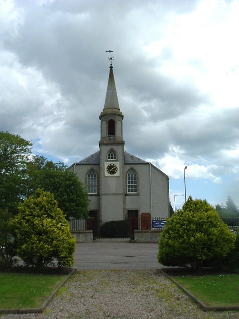
Crimond Church
Crimond Church is a Christian, Church of Scotland Presbyterian church, located on the east side of the A90 road in the centre of the village of Crimond...
Crimond
Crimond is a village in Aberdeenshire, in the northeast of Scotland, located 9 miles (14 km) northwest of the port of Peterhead and just over 2 miles...

Crimond Raceway
Crimond Raceway is the most northerly stock car track in the United Kingdom. It is located about a mile from the village of Crimond in Aberdeenshire, Scotland...
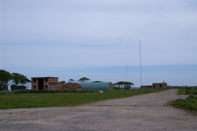
RNAS Rattray
Royal Navy Air Station Rattray, (RNAS Rattray; or HMS Merganser) and also known as Crimond Airfield, Crimond Aerodrome or Rattray Aerodrome was a Royal...
Nearby Amenities
Located within 500m of 57.584991,-1.8845882Have you been to Blackhill?
Leave your review of Blackhill below (or comments, questions and feedback).