Rock
Settlement in Worcestershire Wyre Forest
England
Rock
Rock is a small village located in Worcestershire, England. Situated on the eastern bank of the River Teme, it falls within the administrative district of Malvern Hills. With a population of around 1,500 residents, Rock is a close-knit community that offers a peaceful and picturesque setting.
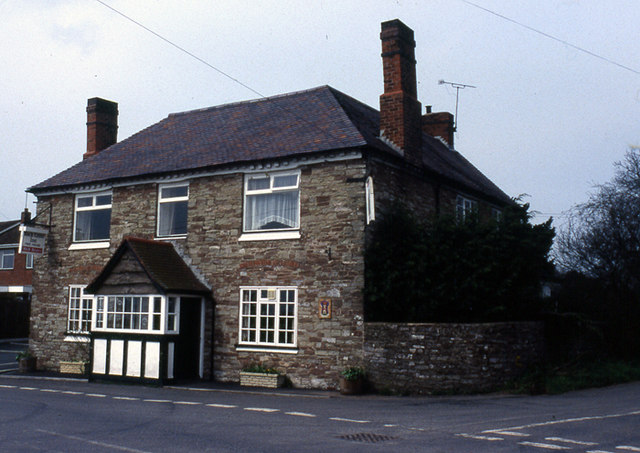
Known for its stunning natural beauty, Rock is surrounded by lush green fields, rolling hills, and dense woodlands. The village is characterized by its charming traditional cottages and historic buildings, some of which date back to the 16th century. The centerpiece of Rock is the St. Peter's Church, a beautiful medieval structure that adds to the village's historical appeal.
Despite its small size, Rock offers a range of amenities for its residents. It boasts a village hall that serves as a social hub, hosting various events and community gatherings throughout the year. Additionally, there is a primary school, a post office, and a local pub, providing essential services and a sense of community cohesion.
The surrounding countryside offers ample opportunities for outdoor activities, such as hiking, cycling, and fishing. Rock is also conveniently located near the larger towns of Tenbury Wells and Worcester, providing residents with access to a wider range of amenities and services.
Overall, Rock, Worcestershire, is a peaceful and idyllic village that offers a close community spirit and a beautiful natural environment.
If you have any feedback on the listing, please let us know in the comments section below.
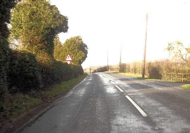
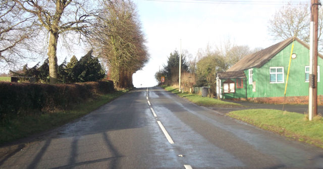
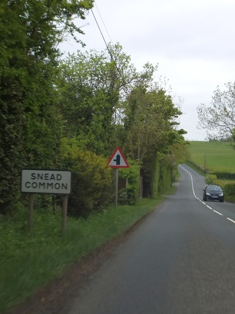
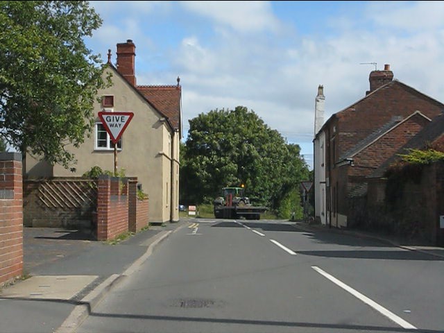
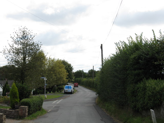
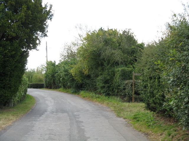
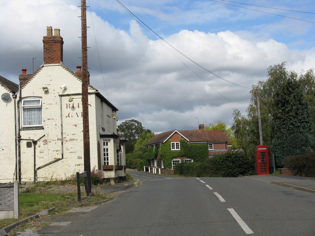
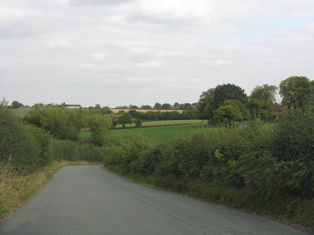
Rock Images
Images are sourced within 2km of 52.339309/-2.3947617 or Grid Reference SO7371. Thanks to Geograph Open Source API. All images are credited.


Rock is located at Grid Ref: SO7371 (Lat: 52.339309, Lng: -2.3947617)
Administrative County: Worcestershire
District: Wyre Forest
Police Authority: West Mercia
What 3 Words
///riddle.blacken.blip. Near Bewdley, Worcestershire
Nearby Locations
Related Wikis

Church of St Peter and St Paul, Rock
The Church of St Peter and St Paul is an Anglican church in the village of Rock, in Worcestershire, England. It is in the parish of Rock with Heightington...

Rock moated site and medieval village
Rock moated site and medieval village is an archaeological site, including a deserted medieval village, in Worcestershire, England, near the village of...
Rock, Worcestershire
Rock is a village and civil parish in the Wyre Forest District of Worcestershire, England, which lies south-west of Bewdley. It had a population of 2,366...

Clows Top
Clows Top is a village in north Worcestershire, England. There is a village shop/post office, a butcher's, a village hall (named the "Victory Hall") and...

Bliss Gate
Bliss Gate is a small village in Worcestershire, England. It had many attractive tourist landmarks such as the Bliss Gate Inn (now closed) and a village...

Pensax
Pensax is a village and civil parish of northwest Worcestershire in England, incorporating the hamlet of Menithwood to the west of Pensax Common. According...

Fingerpost, Worcestershire
Fingerpost is a hamlet and road junction in north Worcestershire, England, approximately 3 miles (4.8 km) west of Bewdley. It is located at the junction...

Hunthouse Wood
Hunthouse Wood is a nature reserve of the Worcestershire Wildlife Trust, situated near the villages of Clows Top and Mamble, in Worcestershire, England...
Nearby Amenities
Located within 500m of 52.339309,-2.3947617Have you been to Rock?
Leave your review of Rock below (or comments, questions and feedback).