Roast Green

Settlement in Essex Uttlesford

England

Roast Green

Ford Keeper's Cottage This is known as the old ford keeper's cottage in Clavering, Essex - It has been suggested that a house that stood next to this, which burnt down in the 19th century, was the real ford keeper's cottage. I've been told that this is the smallest house in Essex.
Ford Keeper's Cottage Credit: Simon Judd

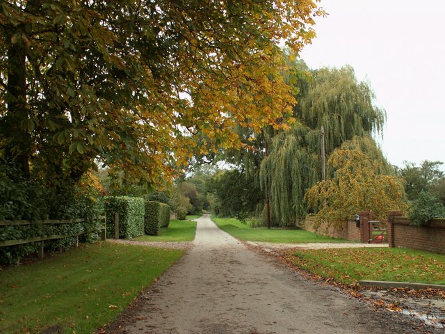
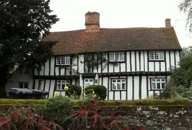
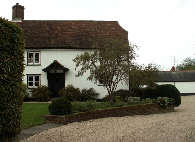
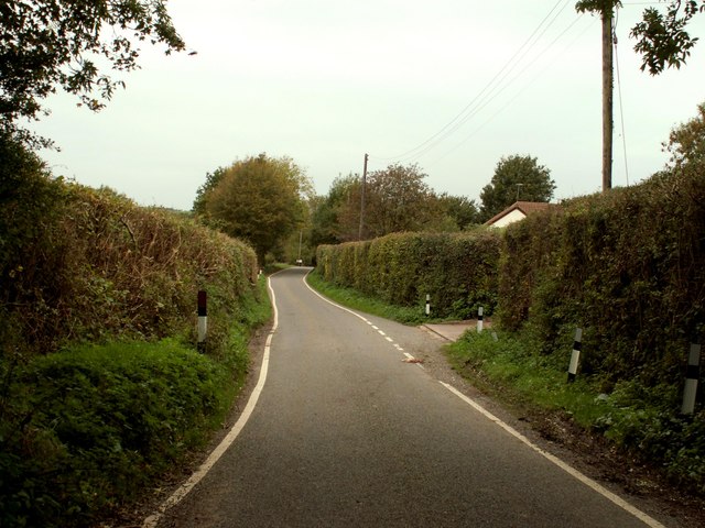
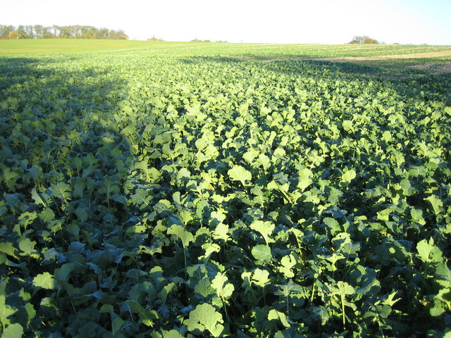
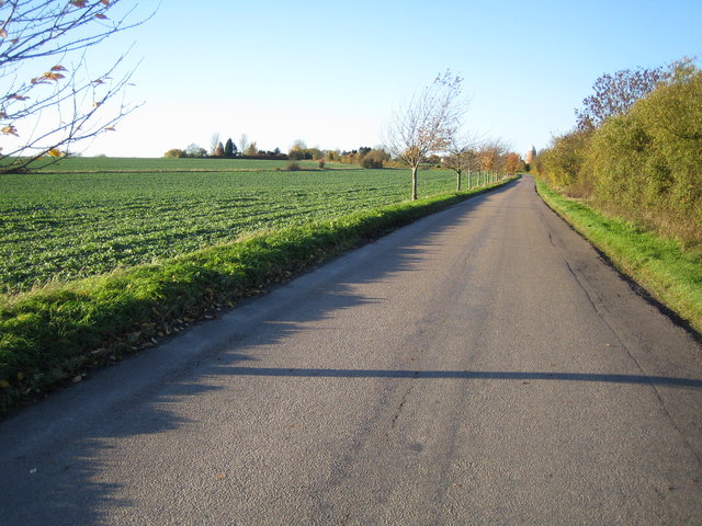
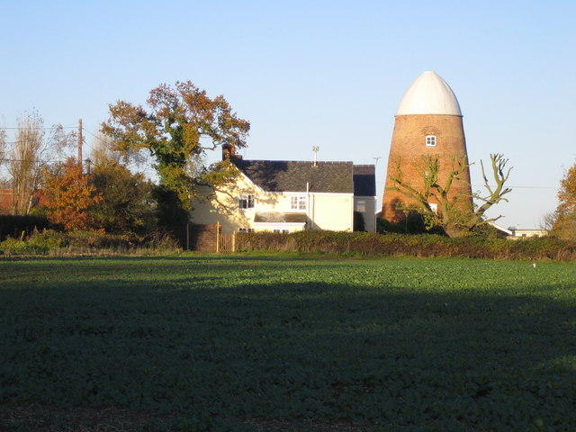
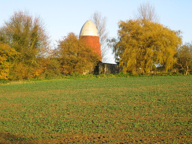
Roast Green is a small village located in the county of Essex, England. Situated in the northern part of the county, it is part of the larger district of Uttlesford. The village is nestled amidst picturesque countryside, characterized by rolling hills, lush green fields, and charming rural landscapes.

Roast Green boasts a quaint and idyllic setting, perfect for those seeking a peaceful and tranquil environment. The village is home to a close-knit community, known for its friendly and welcoming atmosphere. The residents primarily engage in agricultural activities, with farming being a significant part of the local economy.

Although small in size, Roast Green offers a range of amenities to its inhabitants. These include a local village hall, a primary school, and a community center, which serve as focal points for social gatherings and events. The village also has a small convenience store, providing essential supplies for its residents.

Nature enthusiasts will find plenty to explore in Roast Green and its surrounding areas. The village is surrounded by beautiful walking trails and scenic countryside, making it an ideal destination for outdoor activities such as hiking and cycling. The nearby River Stort provides opportunities for fishing and boating, adding to the recreational options available to residents and visitors.

Roast Green benefits from its proximity to larger towns and cities, with easy access to amenities and services. The town of Saffron Walden is located just a few miles away, offering a wider range of shops, restaurants, and entertainment options.

Overall, Roast Green provides a peaceful and picturesque retreat for those seeking a serene countryside lifestyle, while still offering convenient access to nearby towns and amenities.

If you have any feedback on the listing, please let us know in the comments section below.
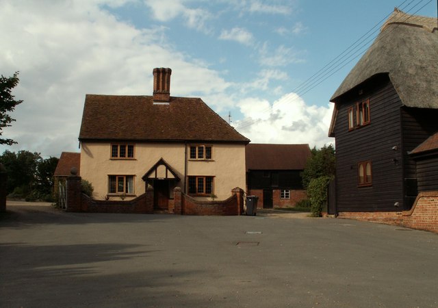
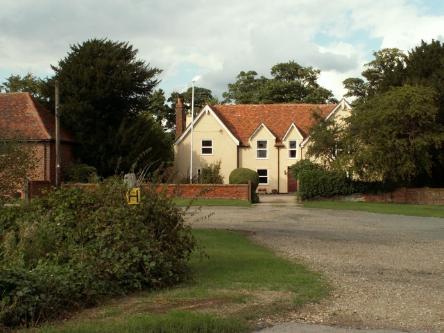
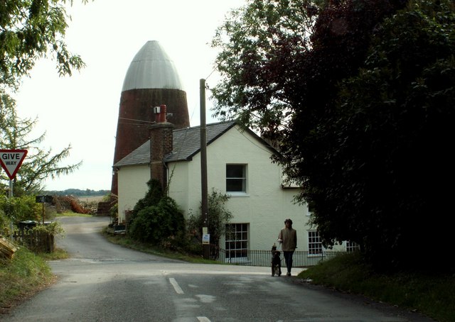
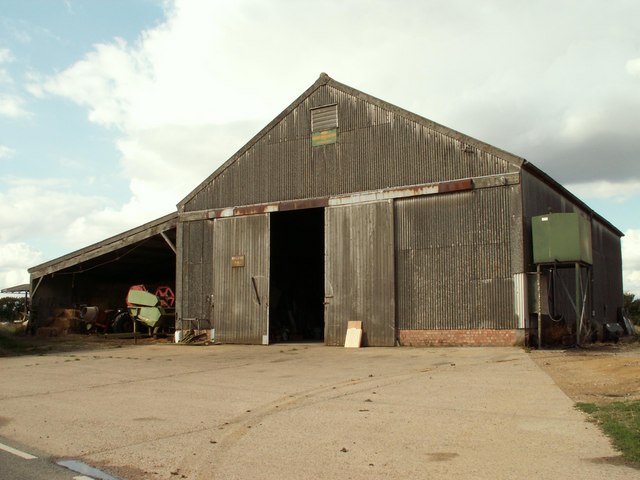
Roast Green Images

Images are sourced within 2km of 51.97553/0.120647 or Grid Reference TL4532. Thanks to Geograph Open Source API. All images are credited.

Ford Keeper's Cottage This is known as the old ford keeper's cottage in Clavering, Essex - It has been suggested that a house that stood next to this, which burnt down in the 19th century, was the real ford keeper's cottage. I've been told that this is the smallest house in Essex.
Ford Keeper's Cottage
This is known as the old ford keeper's cottage in Clavering, Essex - It has been suggested that a house that stood next to this, which burnt down in the 19th century, was the real ford keeper's cottage. I've been told that this is the smallest house in Essex.
Clavering, Essex This picture shows the approach to St. Mary and St. Clement's church, a 14th century building with many interesting features. The fine 15th century house is believed to have originally been built as almshouses.
Clavering, Essex
This picture shows the approach to St. Mary and St. Clement's church, a 14th century building with many interesting features. The fine 15th century house is believed to have originally been built as almshouses.
Clavering Court, Stickling Green, Clavering, Essex
Clavering Place Farm, Stickling Green, Clavering, Essex
Clavering Mill, Clavering, Essex A short distance north of this windmill without sails is another without sails. Both have been restored for living accommodation.
Clavering Mill, Clavering, Essex
A short distance north of this windmill without sails is another without sails. Both have been restored for living accommodation.
Barn at Brocking Farm, Roast Green, Essex Roast Green is just north-west of Clavering.
Barn at Brocking Farm, Roast Green, Essex
Roast Green is just north-west of Clavering.
Clavering village sign, Essex
A ford at Clavering, Essex
The road at Ford End
Farmhouse at Yew Tree Farm This is a very attractive timber-framed house, probably dating back to the early part of the 16th century.
Farmhouse at Yew Tree Farm
This is a very attractive timber-framed house, probably dating back to the early part of the 16th century.
Farmhouse at Further Ford End, Essex The name of the farm is not known.
Farmhouse at Further Ford End, Essex
The name of the farm is not known.
Country road on the way to Lower Green
Stickling Green ..and these are the greens that are grown there, wall to wall brassicas.
Stickling Green
..and these are the greens that are grown there, wall to wall brassicas.
Clavering: Disused windmills This grid square, to the north-west of Clavering, is blessed with two former windmills. The North mill is in sight directly at the end of the road, whilst the similar South mill is visible to the left, and immediately to the left of the prominent conifer tree on the horizon. Close-up views of the two are in <a href="https://www.geograph.org.uk/photo/281333">TL4632 : Clavering: North windmill</a> and <a href="https://www.geograph.org.uk/photo/281340">TL4632 : Clavering: South windmill</a>
Clavering: Disused windmills
This grid square, to the north-west of Clavering, is blessed with two former windmills. The North mill is in sight directly at the end of the road, whilst the similar South mill is visible to the left, and immediately to the left of the prominent conifer tree on the horizon. Close-up views of the two are in TL4632 : Clavering: North windmill and TL4632 : Clavering: South windmill
Clavering: North windmill This is the larger of the two Clavering windmills and was built in 1811 for milling corn. The relative locations of the two mills can be seen in <a href="https://www.geograph.org.uk/photo/281323">TL4632 : Clavering: Disused windmills</a>. It is now a private residence.
Clavering: North windmill
This is the larger of the two Clavering windmills and was built in 1811 for milling corn. The relative locations of the two mills can be seen in TL4632 : Clavering: Disused windmills. It is now a private residence.
Clavering: South windmill This is the smaller of the two Clavering windmills and was built in 1757 for milling corn. The relative locations of the two mills can be seen in <a href="https://www.geograph.org.uk/photo/281323">TL4632 : Clavering: Disused windmills</a>. It is now a private residence.
Clavering: South windmill
This is the smaller of the two Clavering windmills and was built in 1757 for milling corn. The relative locations of the two mills can be seen in TL4632 : Clavering: Disused windmills. It is now a private residence.
Clavering Old half-timbered jettied houses in Middle Street.
Clavering
Old half-timbered jettied houses in Middle Street.
River Stort in Clavering This is Middle Street ford, leading to the lane to Mill End. The graduated pole on the right is a water level gauge board showing those intending to cross what the depth of the water is.
River Stort in Clavering
This is Middle Street ford, leading to the lane to Mill End. The graduated pole on the right is a water level gauge board showing those intending to cross what the depth of the water is.
Show me another place!

Roast Green is located at Grid Ref: TL4532 (Lat: 51.97553, Lng: 0.120647)

Administrative County: Essex

District: Uttlesford

Police Authority: Essex

What 3 Words

///scare.funny.guests. Near Stansted Mountfitchet, Essex

Nearby Locations

Roast Green

Related Wikis

Clavering Castle

Clavering Castle remains are situated in the small parish village of Clavering in the county of Essex, England, 50m north of the church of St Mary and...

Meesden

Meesden is a village and civil parish of the East Hertfordshire district of Hertfordshire, England. Nearby settlements include Anstey and Brent Pelham...

Wicken Bonhunt

Wicken Bonhunt is a village and a civil parish of north-west Essex, in the non-metropolitan district of Uttlesford, England. It is on the B1038 (Buntingford...
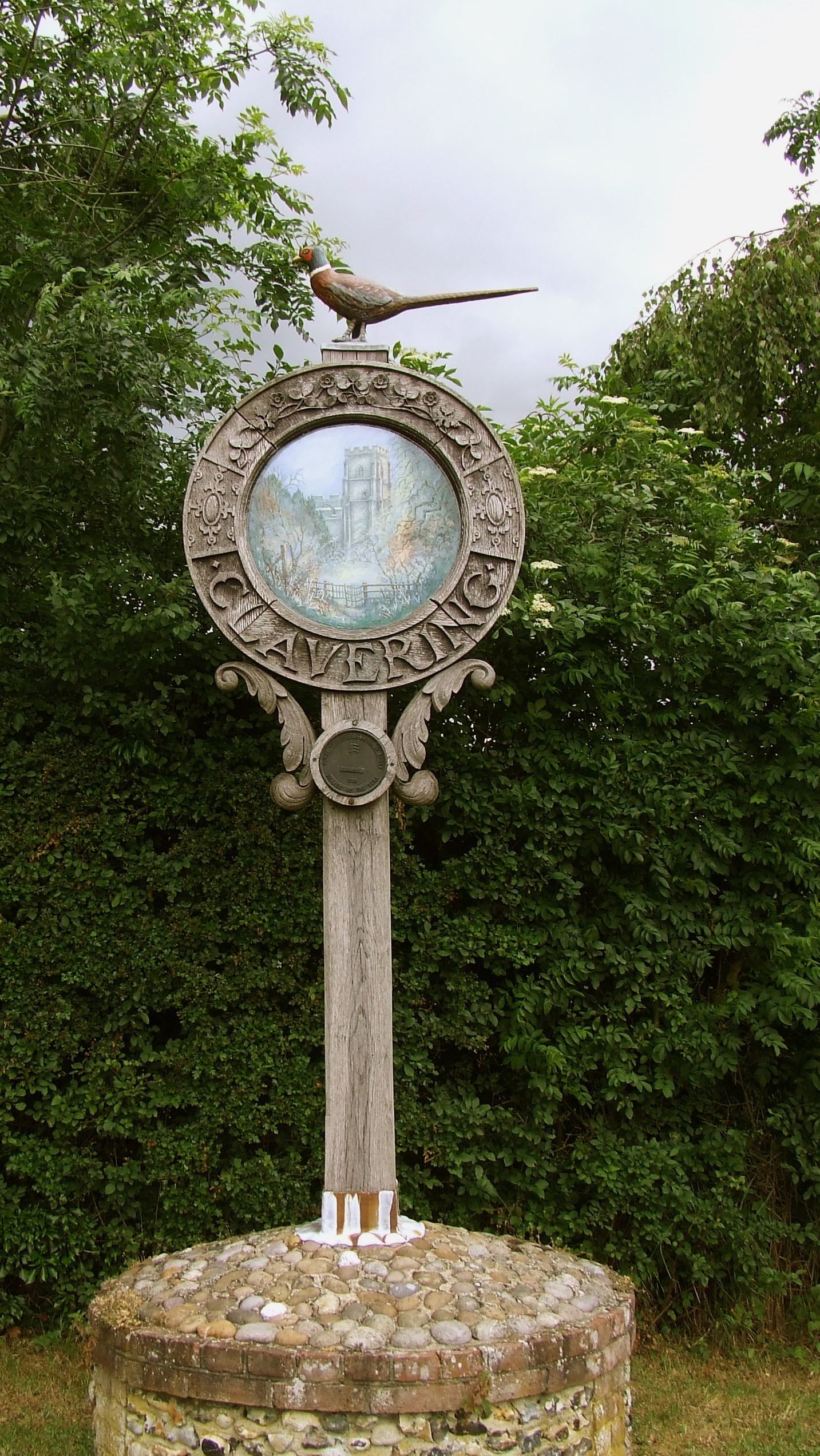
Clavering, Essex

Clavering is a village and also a parish in north-west Essex in England. It is about 20 miles (32 km) from Cambridge and 50 miles (80 km) from Southend...

Langley, Essex

For the historic house in Essex called Langley's, see Great Waltham. Langley is a village and civil parish near Clavering in the English county of Essex...

Arkesden

Arkesden is a village and civil parish in the Uttlesford district of Essex, England. The village is 4.3 miles (7 km) south-west from Saffron Walden, approximately...

Brent Pelham Windmill

Brent Pelham Windmill is a Grade II listed smock mill at Brent Pelham, Hertfordshire, England which is derelict. == History == Brent Pelham Mill was built...

Brent Pelham

Brent Pelham is a village and civil parish in the East Hertfordshire district, in the county of Hertfordshire, England, and situated approximately 5 miles...

Nearby Amenities

Located within 500m of 51.97553,0.120647
Sheepcote Green
Place: hamlet
Lat/Long: 51.9735879/0.1227088
Bus Stop
Valance Road
Bus: yes
Naptan AtcoCode: 150018003018
Naptan Bearing: NW
Naptan BusStopType: CUS
Naptan CommonName: Valance Road
Naptan Crossing: Valance Road
Naptan Indicator: Opp
Naptan Landmark: Valance Road
Naptan NaptanCode: esxdawdw
Naptan Street: Langley Road
Naptan Verified: no
Public Transport: platform
Source: naptan_import
Lat/Long: 51.9743534/0.1275495
Bus Stop
Valance Road
Bus: yes
Naptan AtcoCode: 1500180030Y8
Naptan Bearing: SE
Naptan BusStopType: CUS
Naptan CommonName: Valance Road
Naptan Crossing: Valance Road
Naptan Indicator: Adj
Naptan Landmark: Valance Road
Naptan NaptanCode: esxgtdjg
Naptan Street: Langley Road
Naptan Verified: no
Public Transport: platform
Source: naptan_import
Lat/Long: 51.9743883/0.1276094
Bus Stop
Sheepcote Green Lane
Bus: yes
Naptan AtcoCode: 1500IM2100
Naptan Bearing: W
Naptan BusStopType: CUS
Naptan CommonName: Sheepcote Green Lane
Naptan Crossing: Sheepcote Green Lane
Naptan Indicator: Adj
Naptan Landmark: Sheepcote Green Lane
Naptan NaptanCode: esxdatjw
Naptan Street: Langley Road
Naptan Verified: no
Public Transport: platform
Source: naptan_import
Lat/Long: 51.9748089/0.1237416
Bus Stop
Sheepcote Green Lane
Bus: yes
Naptan AtcoCode: 1500IM2100AA
Naptan Bearing: E
Naptan BusStopType: CUS
Naptan CommonName: Sheepcote Green Lane
Naptan Crossing: Sheepcote Green Lane
Naptan Indicator: Opp
Naptan Landmark: Sheepcote Green Lane
Naptan NaptanCode: esxgtdtj
Naptan Street: Langley Road
Naptan Verified: no
Public Transport: platform
Source: naptan_import
Lat/Long: 51.974872/0.12373
Power: pole
Lat/Long: 51.9736128/0.1147449
Power: pole
Lat/Long: 51.9735988/0.1142366
Power: pole
Lat/Long: 51.9721579/0.1228116
Power: pole
Lat/Long: 51.9723009/0.1214933
Power: pole
Lat/Long: 51.9737648/0.1191303
Power: pole
Lat/Long: 51.9736492/0.1161557
Power: pole
Lat/Long: 51.973018/0.120344
Power: pole
Lat/Long: 51.9719687/0.1244169
Power: pole
Lat/Long: 51.9736789/0.1175451
Power: pole
Lat/Long: 51.9734914/0.1268443
Power: pole
Lat/Long: 51.9727751/0.1262998
Power: pole
Lat/Long: 51.9761028/0.1277174
Power: pole
Lat/Long: 51.9742977/0.1274679
Power: pole
Lat/Long: 51.9756666/0.1179783
Power: pole
Lat/Long: 51.9743332/0.117698
Power: pole
Lat/Long: 51.9750082/0.1178455
Roast Green
Place: hamlet
Lat/Long: 51.9755283/0.1204041
Post Box
Brand: Royal Mail
Brand Wikidata: Q638098
Brand Wikipedia: en:Royal Mail
Collection Times: Mo-Fr 16:45; Sa 11:45
Operator: Royal Mail
Operator Wikidata: Q638098
Post Box Type: wall
Ref: CB11 88
Royal Cypher: VR
Royal Cypher Wikidata: Q33102356
Source: survey
Lat/Long: 51.9753449/0.1198822
The data included in this document is from www.openstreetmap.org. The data is made available under ODbL.

Have you been to Roast Green?

Leave your review of Roast Green below (or comments, questions and feedback).