Risegate

Settlement in Lincolnshire South Holland

England

Risegate

Cressy Hall and Moated site near Gosberton: aerial 2021 See: <span class="nowrap"><a title="https://www.heritagegateway.org.uk/Gateway/Results_Single.aspx?uid=MLI86313&resourceID=1006" rel="nofollow ugc noopener" href="https://www.heritagegateway.org.uk/Gateway/Results_Single.aspx?uid=MLI86313&resourceID=1006">Link</a><img style="margin-left:2px;" alt="External link" title="External link - shift click to open in new window" src="https://s1.geograph.org.uk/img/external.png" width="10" height="10"/></span>
Cressy Hall and Moated site near Gosberton: aerial 2021 Credit: Simon Tomson

Risegate is a small village located in Lincolnshire, a county in the East Midlands region of England. Situated in the South Holland district, the village is nestled between the towns of Spalding and Holbeach. With a population of around 500 residents, Risegate exudes a quiet and rural charm.

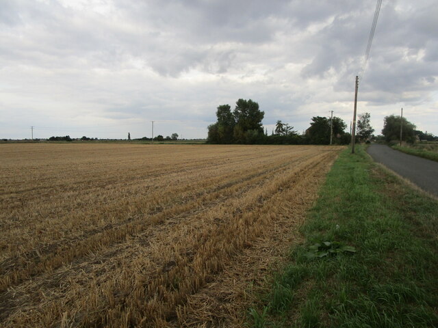
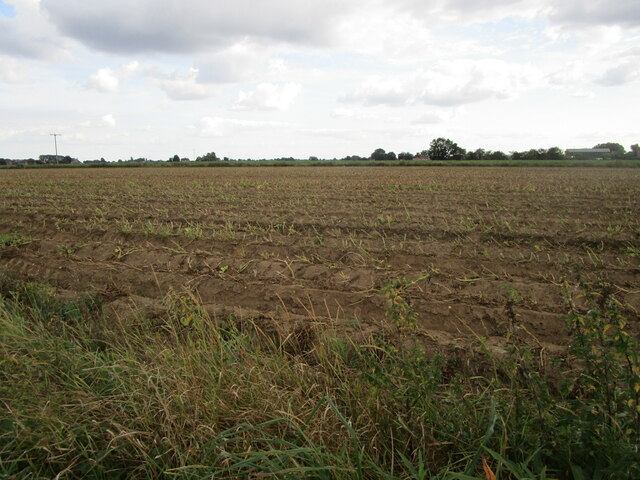
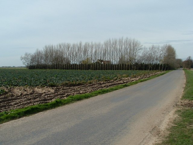
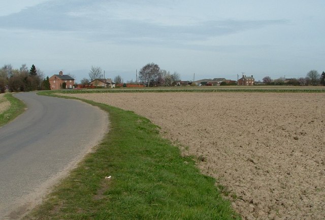
The village is primarily residential, consisting of a mix of traditional cottages and modern housing. The picturesque landscape of Risegate features open fields, farmlands, and winding country roads, showcasing the region's agricultural heritage. The area is known for its fertile soil, which has made it an ideal location for farming and horticulture.

Risegate is home to a few local businesses, including a convenience store and a pub, which serves as a social hub for the residents. The village also benefits from its proximity to nearby towns, where residents can access a wider range of amenities and services.

For nature enthusiasts, Risegate offers plenty of opportunities to explore the great outdoors. The village is surrounded by scenic walking routes and cycle paths, allowing residents and visitors to appreciate the beauty of the surrounding countryside.

Overall, Risegate provides a tranquil and idyllic setting for those seeking a peaceful rural lifestyle. With its close-knit community and stunning natural surroundings, it offers a charming escape from the hustle and bustle of city life.

If you have any feedback on the listing, please let us know in the comments section below.
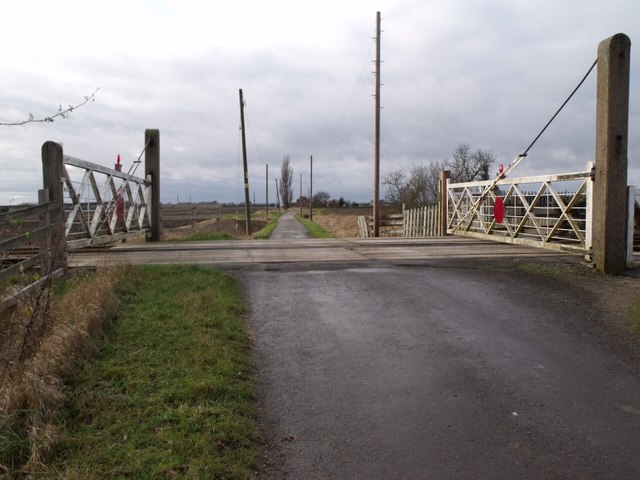
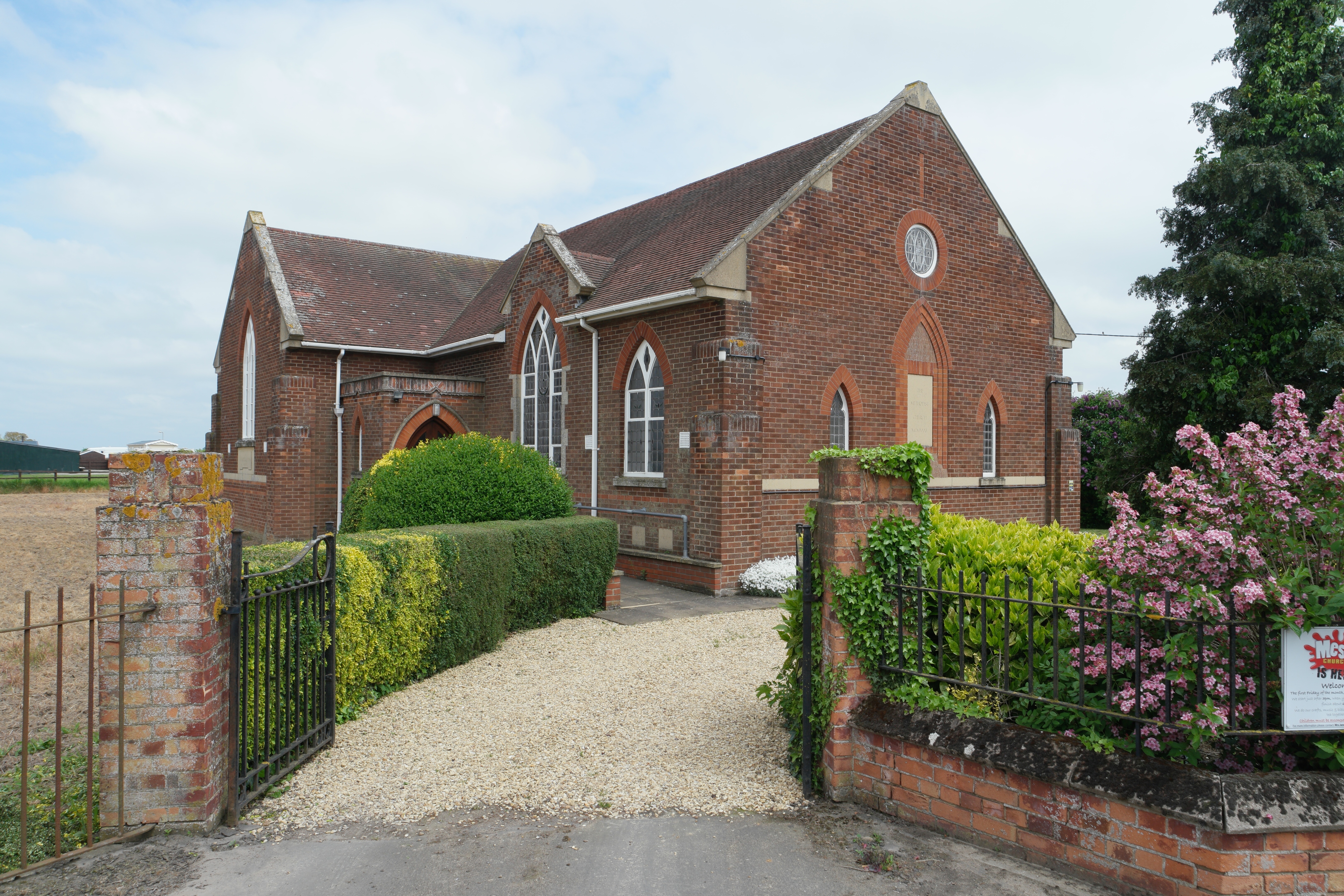
Risegate Images

Images are sourced within 2km of 52.853219/-0.202249 or Grid Reference TF2129. Thanks to Geograph Open Source API. All images are credited.

Cressy Hall and Moated site near Gosberton: aerial 2021 See: <span class="nowrap"><a title="https://www.heritagegateway.org.uk/Gateway/Results_Single.aspx?uid=MLI86313&resourceID=1006" rel="nofollow ugc noopener" href="https://www.heritagegateway.org.uk/Gateway/Results_Single.aspx?uid=MLI86313&resourceID=1006">Link</a><img style="margin-left:2px;" alt="External link" title="External link - shift click to open in new window" src="https://s1.geograph.org.uk/img/external.png" width="10" height="10"/></span>
Cressy Hall and Moated site near Gosberton: aerial 2021
See: LinkExternal link
Cabbages near Risegate
Stubble field adjacent to Westhorpe Road
Potato field, Gravecoat Lane The tops have been cut ready for the potatoes to be harvested.
Potato field, Gravecoat Lane
The tops have been cut ready for the potatoes to be harvested.
Risegate Eau at Cressy Bridge Risegate Eau is completely blocked with vegetation.
Risegate Eau at Cressy Bridge
Risegate Eau is completely blocked with vegetation.
Sugar beet field off Station Road, Gosberton Risegate
Railway near Gosberton
Gosberton Railway Station Now closed but used as an industrial site
Gosberton Railway Station
Now closed but used as an industrial site
Crossing Gate Keeper's hut at Gosberton These railway gates are manually controlled, very quaint, but quite a few around these parts.
Crossing Gate Keeper's hut at Gosberton
These railway gates are manually controlled, very quaint, but quite a few around these parts.
Big sky, big field Field awaiting crop in Gosberton Risegate.
Big sky, big field
Field awaiting crop in Gosberton Risegate.
Swalebank Farm Tall windbreak trees surround Swalebank Farm with a partially harvested brassica crop in the middle ground
Swalebank Farm
Tall windbreak trees surround Swalebank Farm with a partially harvested brassica crop in the middle ground
As the lane sweeps round Scattered housing lines the roadside Near to Westhorpe
As the lane sweeps round
Scattered housing lines the roadside Near to Westhorpe
Road towards Gosberton at Westhorpe The hump in the road is the railway bridge
Road towards Gosberton at Westhorpe
The hump in the road is the railway bridge
Track to Swale Bank Farm/Cobwebs Farm Known as both names?
Track to Swale Bank Farm/Cobwebs Farm
Known as both names?
Gravecoat Lane from Quadring Bank
North Gate Level Crossing
Siltside facing east This road runs parallel to Risegate Road (B1397) for some distance.
Siltside facing east
This road runs parallel to Risegate Road (B1397) for some distance.
Gosberton Level Crossing Risegate Road crosses the railway with manual gates. It appears to be undergoing some improvement work.
Gosberton Level Crossing
Risegate Road crosses the railway with manual gates. It appears to be undergoing some improvement work.
Show me another place!

Risegate is located at Grid Ref: TF2129 (Lat: 52.853219, Lng: -0.202249)

Division: Parts of Holland

Administrative County: Lincolnshire

District: South Holland

Police Authority: Lincolnshire

What 3 Words

///fruitcake.novelists.void. Near Gosberton, Lincolnshire

Nearby Locations

Risegate

Related Wikis

Risegate

Risegate is a village in the civil parish of Gosberton and the South Holland district of Lincolnshire, England. It is 30 miles (50 km) south-east from...

Gosberton Clough

Gosberton Clough is a village in the civil parish of Gosberton and the South Holland district of Lincolnshire, England. It is 30 miles (50 km) south-east...

Gosberton railway station

Gosberton railway station was a station in Gosberton, Lincolnshire. It was opened in 1882 and closed for passengers on 11 September 1961 and freight on...

Westhorpe, Lincolnshire

Westhorpe is a hamlet in the civil parish of Gosberton and the South Holland district of Lincolnshire, England. It is 30 miles (50 km) south-east from...

A152 road

The A152 is a small non-primary A-road in Lincolnshire, from Donington to Surfleet linking the A52 and the A16, two major primary routes. Between Donington...

Quadring

Quadring is a small village and civil parish in the South Holland district of Lincolnshire. It lies on the A152, 2 miles (3.2 km) north-east of Gosberton...

Quadring Fen

Quadring Fen is a hamlet in the South Holland district of Lincolnshire, England. It is situated 2 miles (3.2 km) south from the A52 road, 5 miles (8.0...

Gosberton

Gosberton is a village and civil parish in the South Holland district of Lincolnshire, England. It is situated 9 miles (14.5 km) south-west of Boston,...

Nearby Amenities

Located within 500m of 52.853219,-0.202249
Risegate
Is In: Lincolnshire, England, UK
Place: village
Wikidata: Q43964608
Lat/Long: 52.8529075/-0.1985818
Bus Stop
Beach Lane
Naptan AtcoCode: 270000009767
Naptan Bearing: W
Naptan CommonName: Beach Lane
Naptan Indicator: adj
Naptan Landmark: Beach Lane
Naptan NaptanCode: linjdwap
Naptan Street: Clough Road
Naptan Verified: no
Source: naptan_import
Lat/Long: 52.8522272/-0.2051607
Bus Stop
Beach Lane
Naptan AtcoCode: 270000009768
Naptan Bearing: E
Naptan CommonName: Beach Lane
Naptan Indicator: opp
Naptan Landmark: Beach Lane
Naptan NaptanCode: linjdwat
Naptan Street: Clough Road
Naptan Verified: no
Source: naptan_import
Lat/Long: 52.8523276/-0.2046665
Bus Stop
Sheppersons Avenue
Naptan AtcoCode: 270002700638
Naptan Bearing: S
Naptan CommonName: Sheppersons Avenue
Naptan Indicator: adj
Naptan Landmark: Sheppersons Avenue
Naptan Street: Chesboule Lane
Naptan Verified: no
Source: naptan_import
Lat/Long: 52.8529782/-0.2048773
Bus Stop
Sheppersons Avenue
Naptan AtcoCode: 2700LGRB1272
Naptan Bearing: N
Naptan CommonName: Sheppersons Avenue
Naptan Indicator: opp
Naptan Landmark: Sheppersons Avenue
Naptan Street: Chesboule Lane
Naptan Verified: no
Source: naptan_import
Lat/Long: 52.8529624/-0.2050264
Pub
The Black Horse
Addr City: Spalding
Addr Country: GB
Addr Housenumber: 66
Addr Postcode: PE11 4ET
Addr Street: Siltside
Addr Suburb: Gosberton Risegate
Fhrs Authority: South Holland
Fhrs Id: 243583
Fhrs Local Authority Id: 12952
Lat/Long: 52.8538105/-0.1961152
Willowdene Farm
Place: farm
Source: Bing
Lat/Long: 52.8541953/-0.2063028
Elm Tree Farm
Place: farm
Source: Bing
Lat/Long: 52.8518568/-0.204057
Give Way
Source: Bing
Lat/Long: 52.852299/-0.2048745
Give Way
Source: Bing
Lat/Long: 52.8522395/-0.2048813
Give Way
Source: Bing
Lat/Long: 52.8524913/-0.2049053
Give Way
Source: Bing
Lat/Long: 52.8524951/-0.2048069
The data included in this document is from www.openstreetmap.org. The data is made available under ODbL.

Have you been to Risegate?

Leave your review of Risegate below (or comments, questions and feedback).