Blackfordby

Settlement in Leicestershire North West Leicestershire

England

Blackfordby

The New Inn This "new" inn has been here since at least 1809.
The New Inn Credit: Ian Calderwood

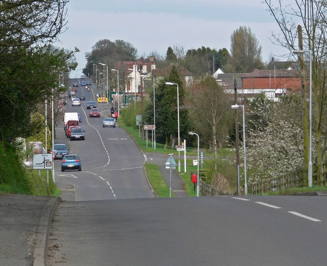
Blackfordby is a small village located in the county of Leicestershire, England. Situated in the National Forest, it lies approximately 7 miles west of the town of Ashby-de-la-Zouch and 15 miles south of Derby. With a population of around 1,000 residents, it offers a peaceful and close-knit community atmosphere.

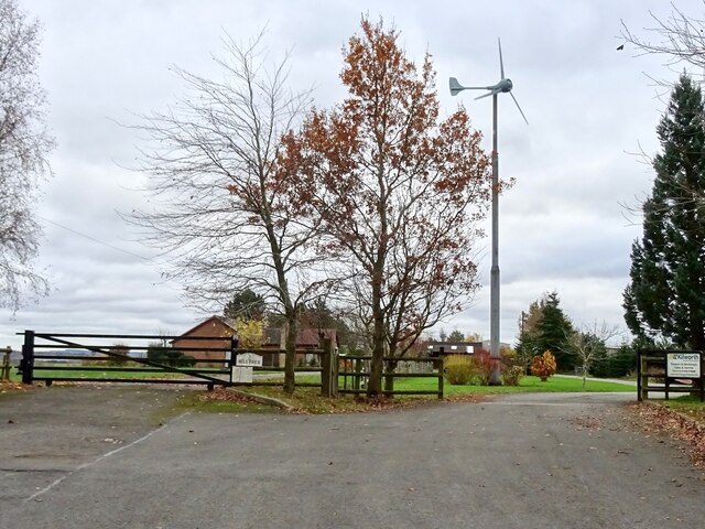
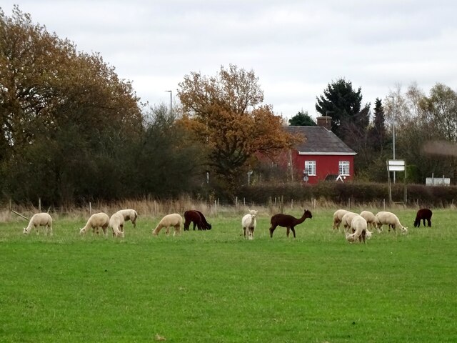
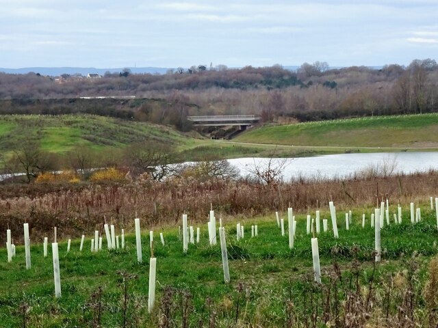
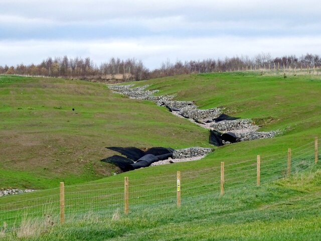
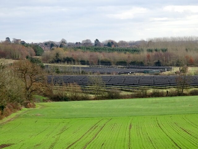
The village is known for its picturesque countryside surroundings, with rolling hills, lush green fields, and scenic woodlands. It is a popular destination for nature enthusiasts, offering numerous walking and cycling trails that allow visitors to explore the beautiful landscape. The nearby Hicks Lodge National Forest Cycle Centre provides facilities for outdoor activities such as mountain biking and horse riding.

Blackfordby has a rich history dating back to the medieval era, and some of its architectural gems have been preserved over the centuries. St. Margaret's Church, a Grade II listed building, stands as a testament to the village's past. Additionally, there are several traditional cottages and farmhouses that add to the village's charm.

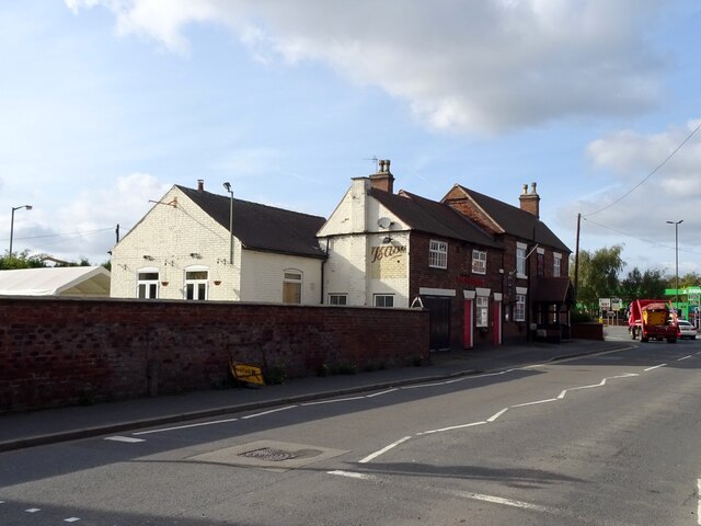
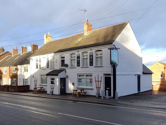
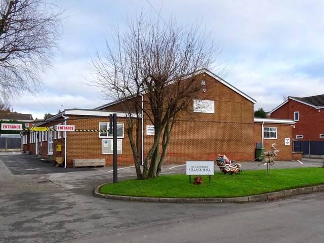
The village also offers essential amenities, including a primary school, a post office, a village hall, and a local pub, which serves as a social hub for residents. Its proximity to larger towns and cities ensures that residents have access to a wider range of facilities and services.

Overall, Blackfordby is a tranquil and idyllic village that offers a serene countryside lifestyle while still maintaining connections to nearby urban areas. With its natural beauty and strong community spirit, it is a desirable place to reside or visit for those seeking a peaceful retreat.

If you have any feedback on the listing, please let us know in the comments section below.
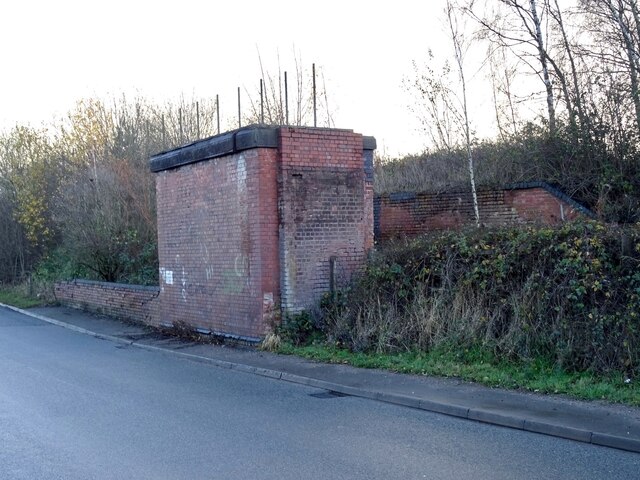
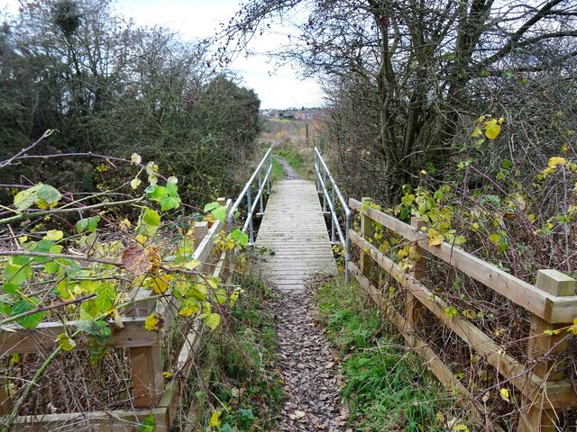
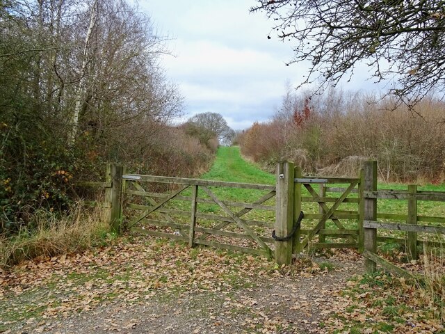
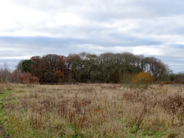
Blackfordby Images

Images are sourced within 2km of 52.757712/-1.519867 or Grid Reference SK3217. Thanks to Geograph Open Source API. All images are credited.

The New Inn This "new" inn has been here since at least 1809.
The New Inn
This "new" inn has been here since at least 1809.
Wind turbine at Hall Farm There was a flour windmill here in the 19th century. Now there is a modern wind turbine generating electricity.
Wind turbine at Hall Farm
There was a flour windmill here in the 19th century. Now there is a modern wind turbine generating electricity.
Alpacas in Boundary The fields south of Boundary are occupied by the alpacas and other animals of Charnwood Forest Alpacas.
Alpacas in Boundary
The fields south of Boundary are occupied by the alpacas and other animals of Charnwood Forest Alpacas.
New building site In 2021, Owl Homes began work on a new building site on the edge of Woodville.
New building site
In 2021, Owl Homes began work on a new building site on the edge of Woodville.
Covered reservoir off Manchester Lane
Horses in a ridge and furrow field
Goseley Community Centre
The Joiners Arms Spruced up with a new paint job and furniture since <a href="https://www.geograph.org.uk/photo/5989280">SK3118 : High Street Woodville</a> was taken in 2018.
The Joiners Arms
Spruced up with a new paint job and furniture since SK3118 : High Street Woodville was taken in 2018.
Remains of a former railway bridge This is where the Midland Railway Swadlincote and Woodville Extension used to cross Occupation Lane.
Remains of a former railway bridge
This is where the Midland Railway Swadlincote and Woodville Extension used to cross Occupation Lane.
Footbridge on the path to Occupation Lane An old field path off Mushroom Lane that has survived the many changes to the former farmland that it runs through.
Footbridge on the path to Occupation Lane
An old field path off Mushroom Lane that has survived the many changes to the former farmland that it runs through.
An entrance to the Pick Triangle Pick Triangle Wood is part of the National Forest, planted on a triangle of land reclaimed after coal and clay extraction.
An entrance to the Pick Triangle
Pick Triangle Wood is part of the National Forest, planted on a triangle of land reclaimed after coal and clay extraction.
Feanedock Covert The mature trees of the original Feanedock Covert have been here since at least the late 19th century. Much more recently, it has been added to with newly planted woodlands, as well as meadows and wetlands, as part of the National Forest.
Feanedock Covert
The mature trees of the original Feanedock Covert have been here since at least the late 19th century. Much more recently, it has been added to with newly planted woodlands, as well as meadows and wetlands, as part of the National Forest.
Land reclamation at Donington Quarry Meadowland, tree-planting and a lake have replaced the moonscape left by the former Donington Quarry.
Land reclamation at Donington Quarry
Meadowland, tree-planting and a lake have replaced the moonscape left by the former Donington Quarry.
Landscaped water channel at Donington Quarry Part of the restoration work underway at the former Donington Quarry
Landscaped water channel at Donington Quarry
Part of the restoration work underway at the former Donington Quarry
Shell Brook Shell Brook runs along the edge of a small playing field, off Main Street. At the time of my visit, the channel had recently been dredged to remove mud and debris.
Shell Brook
Shell Brook runs along the edge of a small playing field, off Main Street. At the time of my visit, the channel had recently been dredged to remove mud and debris.
Construction at Bluebell Mews Bluebell Mews is a small development of new houses on the site of the demolished Bluebell Inn, pictured in <a href="https://www.geograph.org.uk/photo/2766859">SK3217 : Blackfordby Bluebell Inn</a>.
Construction at Bluebell Mews
Bluebell Mews is a small development of new houses on the site of the demolished Bluebell Inn, pictured in SK3217 : Blackfordby Bluebell Inn.
Blackfordby Village Hall Pictured in December with Santa and his reindeer outside.
Blackfordby Village Hall
Pictured in December with Santa and his reindeer outside.
Prestop Park Solar Farm A solar farm of 15.8 MW capacity, previously pictured in neighbouring grid-square: <a href="https://www.geograph.org.uk/photo/4708348">SK3316 : Prestop Park Solar Farm</a>.
Prestop Park Solar Farm
A solar farm of 15.8 MW capacity, previously pictured in neighbouring grid-square: SK3316 : Prestop Park Solar Farm.
Show me another place!

Blackfordby is located at Grid Ref: SK3217 (Lat: 52.757712, Lng: -1.519867)

Administrative County: Leicestershire

District: North West Leicestershire

Police Authority: Leicestershire

What 3 Words

///slips.summer.grades. Near Moira, Leicestershire

Nearby Locations

Blackfordby

Related Wikis

Blackfordby

Blackfordby is a small village and former civil parish, now in the parish of Ashby-de-la-Zouch, in the North West Leicestershire district, in the northwesternmost...

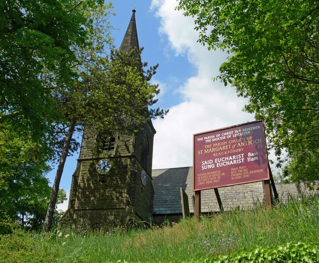
Church of St Margaret of Antioch, Blackfordby

The Church of St Margaret of Antioch is a church in Blackfordby, Leicestershire. It is a Grade II listed building. == History == === Exterior === The church...

Woodville railway station (England)

Woodville railway station is a former railway station on the Swadlincote Loop Line which served the village of Woodville, Derbyshire, England. == Opening... ==

Ashby Woulds

Ashby Woulds is a civil parish in Leicestershire, England. The population (including Albert Village) at the 2011 census was 3,763. It is in the North...

Nearby Amenities

Located within 500m of 52.757712,-1.519867
Crossing: informal
Lat/Long: 52.7549241/-1.5176908
Bus Stop
Main Street
Alt Name: Blackfordby - Main Street
Bench: yes
Bin: yes
Bus: yes
Lit: no
Naptan AltCommonName: Blackfordby - Main Street
Naptan AtcoCode: 260013222
Naptan Bearing: SW
Naptan CommonName: Main Street
Naptan Indicator: opposite
Naptan Landmark: 24A Main Street
Naptan NaptanCode: leijdptm
Naptan Notes: Hourly - County
Naptan Street: Main Street
Naptan Verified: no
Public Transport: platform
Shelter: yes
Source: naptan_import
Tactile Paving: no
Lat/Long: 52.7578978/-1.5131661
Bus Stop
Sandtop Close
Bench: yes
Bin: yes
Bus: yes
Lit: yes
Naptan AtcoCode: 260013249
Naptan Bearing: NE
Naptan CommonName: Sandtop Close
Naptan Indicator: outside
Naptan Landmark: Elec sub Station
Naptan NaptanCode: leijdtgm
Naptan Notes: Hourly - County
Naptan Street: Main Street
Naptan Verified: no
Public Transport: platform
Shelter: yes
Source: naptan_import
Tactile Paving: no
Lat/Long: 52.756657/-1.5153137
Post Box
Operator: Royal Mail
Operator Wikidata: Q638098
Post Box Type: lamp
Ref: DE11 1053
Royal Cypher: EIIR
Lat/Long: 52.7587364/-1.5150148
Post Box
Operator: Royal Mail
Operator Wikidata: Q638098
Post Box Type: lamp
Ref: DE11 1189
Royal Cypher: EIIR
Lat/Long: 52.757949/-1.5131539
Blackfordby
Place: village
Source: OS OpenData StreetView
Wikidata: Q4922884
Wikipedia: en:Blackfordby
Lat/Long: 52.7580407/-1.5148528
Turning Circle
Lat/Long: 52.7576994/-1.5142975
Crossing: informal
Lat/Long: 52.754838/-1.5250178
Turning Circle
Lat/Long: 52.757587/-1.5157404
Generator Method: photovoltaic
Generator Output Electricity: yes
Generator Source: solar
Generator Type: solar_photovoltaic_panel
Location: roof
Power: generator
Lat/Long: 52.7590414/-1.5159295
Generator Method: photovoltaic
Generator Output Electricity: yes
Generator Source: solar
Generator Type: solar_photovoltaic_panel
Location: roof
Power: generator
Lat/Long: 52.7590284/-1.5158329
Generator Method: photovoltaic
Generator Output Electricity: yes
Generator Source: solar
Generator Type: solar_photovoltaic_panel
Location: roof
Power: generator
Lat/Long: 52.7571295/-1.5134605
Generator Method: photovoltaic
Generator Output Electricity: yes
Generator Source: solar
Generator Type: solar_photovoltaic_panel
Location: roof
Power: generator
Lat/Long: 52.7556215/-1.5145924
Generator Method: photovoltaic
Generator Output Electricity: yes
Generator Source: solar
Generator Type: solar_photovoltaic_panel
Location: roof
Power: generator
Lat/Long: 52.7554137/-1.5149518
Generator Method: photovoltaic
Generator Output Electricity: yes
Generator Source: solar
Generator Type: solar_photovoltaic_panel
Location: roof
Power: generator
Lat/Long: 52.7553098/-1.514469
Generator Method: photovoltaic
Generator Output Electricity: yes
Generator Source: solar
Generator Type: solar_photovoltaic_panel
Location: roof
Power: generator
Lat/Long: 52.7592056/-1.5163439
Location Transition: yes
Power: pole
Lat/Long: 52.7605058/-1.5250263
Location Transition: yes
Power: pole
Lat/Long: 52.7605334/-1.525214
Material: wood
Power: pole
Lat/Long: 52.7595806/-1.5256271
Material: wood
Power: pole
Lat/Long: 52.7588599/-1.5244308
Material: wood
Power: pole
Lat/Long: 52.7578909/-1.522918
Location Transition: yes
Power: pole
Lat/Long: 52.7571247/-1.5216869
Material: wood
Power: pole
Lat/Long: 52.7566377/-1.5209091
Material: wood
Power: pole
Lat/Long: 52.7556881/-1.5204075
Material: wood
Power: pole
Lat/Long: 52.7547936/-1.5199247
Material: wood
Power: pole
Lat/Long: 52.7539592/-1.5194741
Material: wood
Power: pole
Lat/Long: 52.7533991/-1.5183744
The data included in this document is from www.openstreetmap.org. The data is made available under ODbL.

Have you been to Blackfordby?

Leave your review of Blackfordby below (or comments, questions and feedback).