Ridgeway
Settlement in Gloucestershire
England
Ridgeway
Ridgeway is a small village located in the county of Gloucestershire, England. Situated approximately 10 miles south of Gloucester, the village rests on the eastern edge of the beautiful Cotswolds Area of Outstanding Natural Beauty. With a population of around 1,500 residents, Ridgeway offers a peaceful and picturesque setting for its inhabitants.
The village is known for its charming and traditional architecture, with many Cotswold stone cottages and buildings dotting the landscape. It boasts a strong sense of community, with various local events and activities organized throughout the year, including a summer fete and a Christmas market.
Ridgeway benefits from its proximity to the neighboring towns of Stroud and Gloucester, offering residents easy access to a range of amenities and services. Good transport links connect the village to these larger towns, making commuting and travel convenient for those who work or study outside of Ridgeway.
Surrounded by rolling hills and lush countryside, the village is a haven for nature lovers and outdoor enthusiasts. There are numerous walking and cycling paths in the area, allowing residents to explore the stunning landscapes and enjoy the fresh air. The nearby Cotswold Way, a long-distance footpath, also passes through Ridgeway, attracting hikers from far and wide.
In conclusion, Ridgeway is a delightful village in Gloucestershire, offering its residents a tranquil and picturesque setting, a strong community spirit, and easy access to amenities and beautiful natural surroundings.
If you have any feedback on the listing, please let us know in the comments section below.
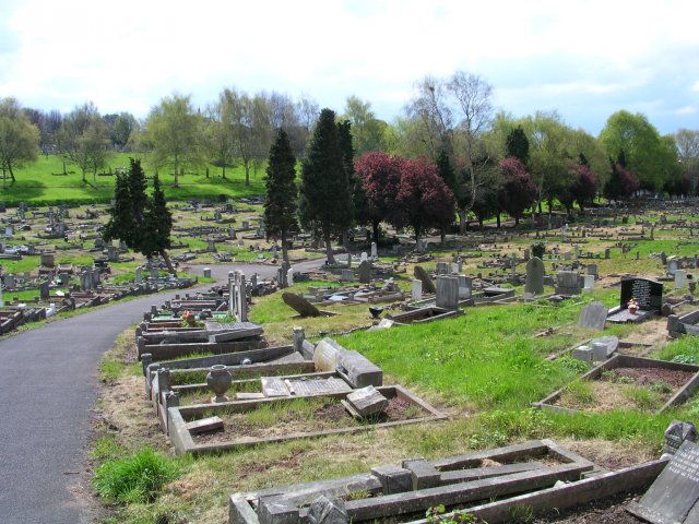
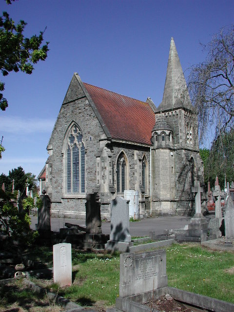
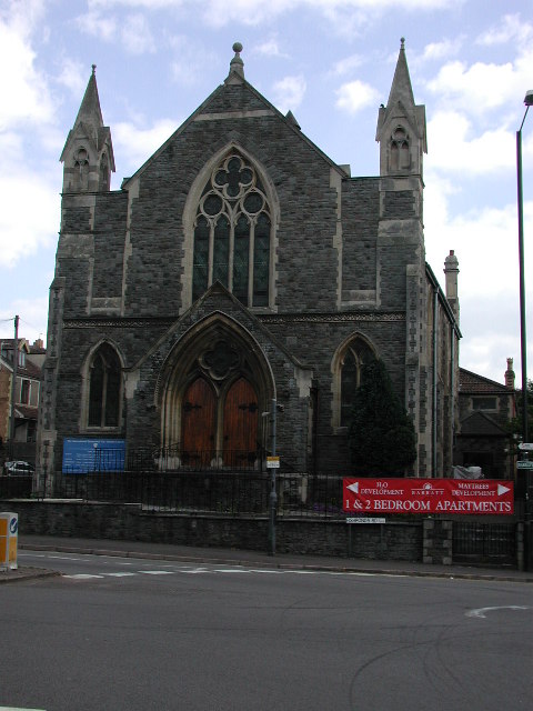
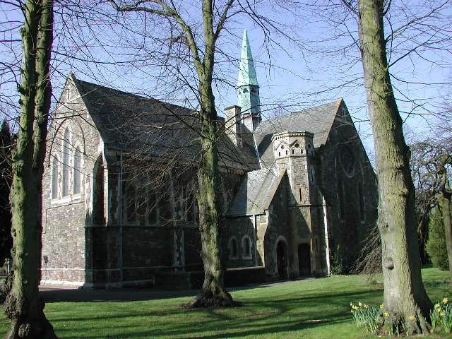
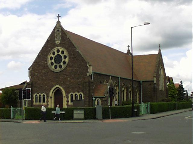
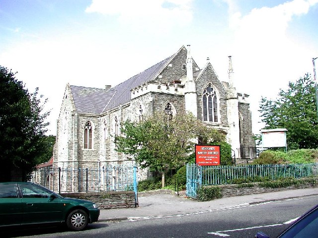
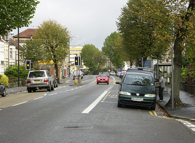
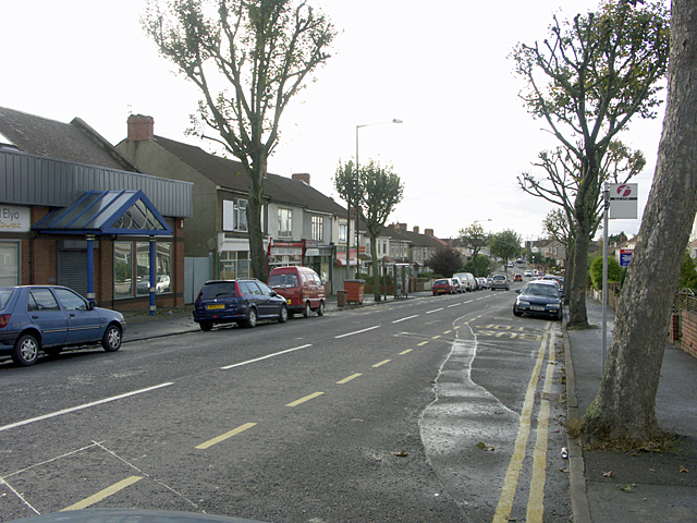
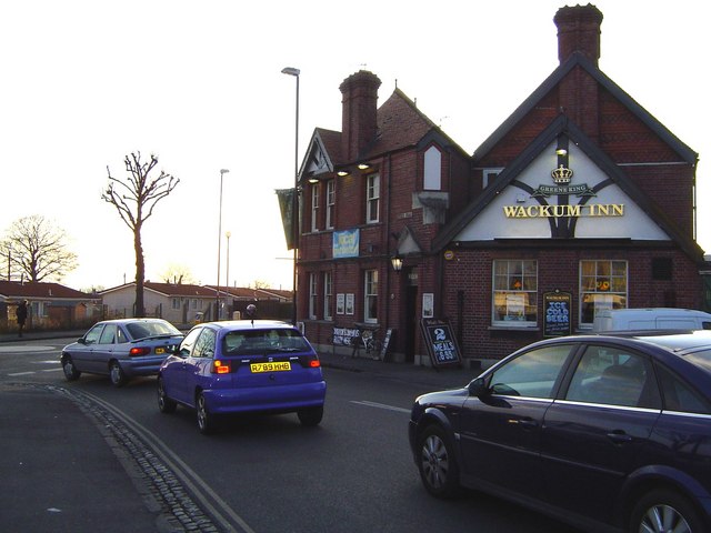
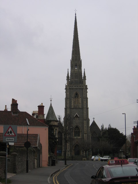
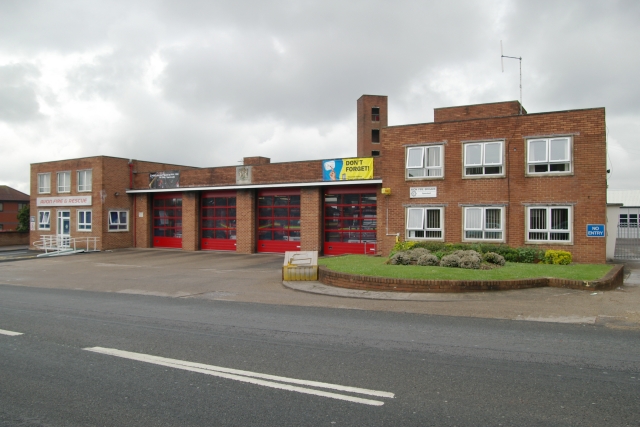
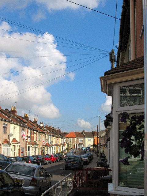
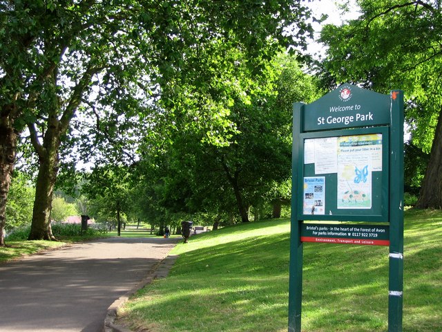
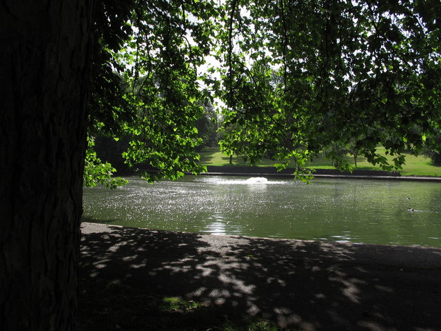
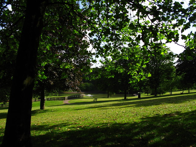
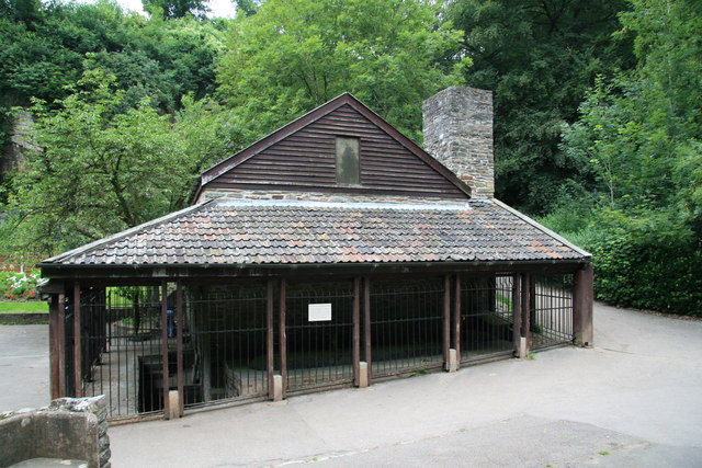
Ridgeway Images
Images are sourced within 2km of 51.473032/-2.5363522 or Grid Reference ST6275. Thanks to Geograph Open Source API. All images are credited.


Ridgeway is located at Grid Ref: ST6275 (Lat: 51.473032, Lng: -2.5363522)
Unitary Authority: Bristol
Police Authority: Avon and Somerset
What 3 Words
///sung.regime.moral. Near Mangotsfield, Gloucestershire
Nearby Locations
Related Wikis

Lodge Causeway
Lodge Causeway is an ancient passage through the former Royal Forest of Kingswood and now the main road between Fishponds and Kingswood in Bristol, England...
Peckett and Sons
Peckett and Sons was a locomotive manufacturer at the Atlas Locomotive Works on Deep Pit Road between Fishponds and St. George, Bristol, England. ��2...
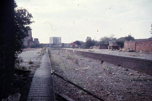
Fishponds railway station
Fishponds railway station was a station in Fishponds, Bristol, England, which was closed by Dr Beeching's cuts in the 1960s. Fishponds station was just...

Bristol Brunel Academy
Bristol Brunel Academy is a mixed sex Secondary Academy, located in Speedwell in the ward of Hillfields, Bristol, England. The academy is named after Isambard...

St George West (ward)
St George West is a district (Ward) of Bristol. It became a single-councillor ward for the May 2016 council election following a review of boundaries in...

Speedwell, Bristol
Speedwell is an area of east Bristol, Part of the Hillfields ward. It has a mixture of residential and industrial land. The 2014 population estimate of...
Bristol Metropolitan Academy
Bristol Metropolitan Academy, formerly Whitefield Fishponds Community School and later Bristol Metropolitan College, is an academy in Fishponds, Bristol...
Mayfield Park, Bristol
Mayfield Park is a residential area in East Bristol, with a large adjoining park known as the Ridgeway Rd Playing Fields.The area is located on the outskirts...
Nearby Amenities
Located within 500m of 51.473032,-2.5363522Have you been to Ridgeway?
Leave your review of Ridgeway below (or comments, questions and feedback).