Ridgeway
Settlement in Pembrokeshire
Wales
Ridgeway
Ridgeway is a small village located in the county of Pembrokeshire, Wales. Situated on the western coast of the country, Ridgeway is nestled between the towns of Saundersfoot and Tenby. With a population of around 500 residents, it is a close-knit community with a charming rural feel.
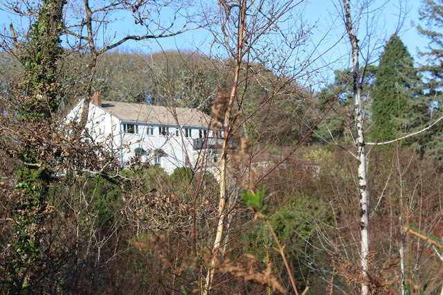
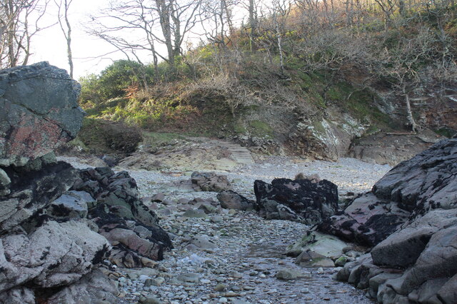
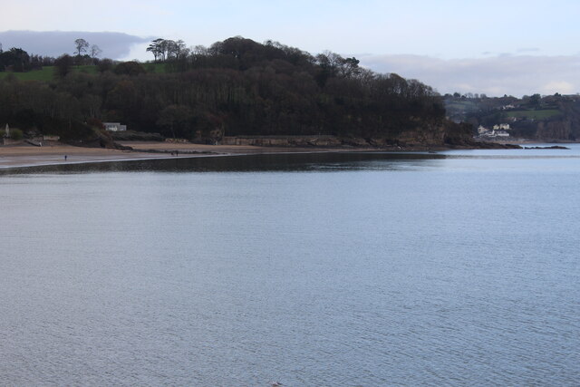
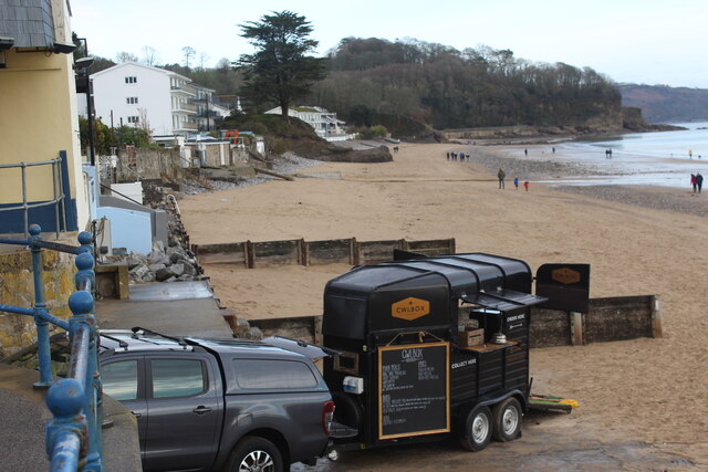
The village is known for its breathtaking natural beauty, surrounded by lush rolling hills and picturesque countryside. The nearby Pembrokeshire Coast National Park offers stunning views of the rugged coastline and is a popular destination for hikers and nature enthusiasts.
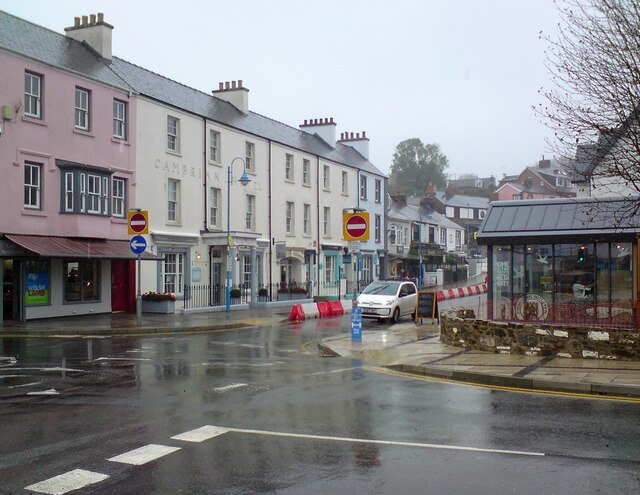
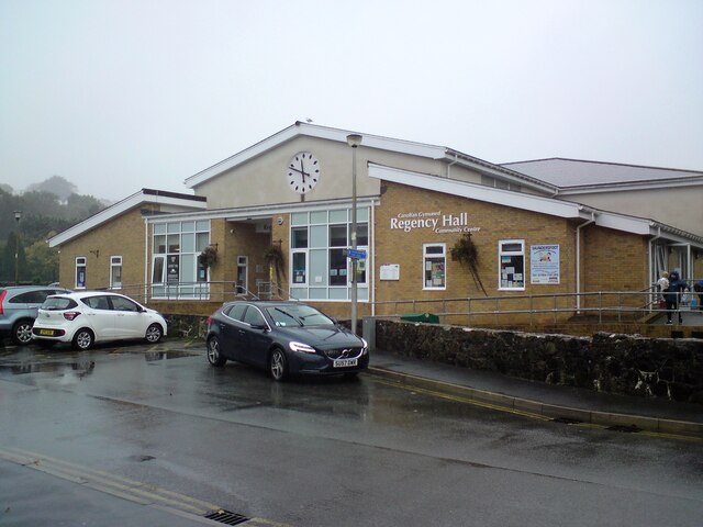
Despite its small size, Ridgeway is well-served by amenities. The village boasts a primary school, a local pub, and a community center that hosts various events and activities. There are also a few shops and services catering to the needs of the residents.
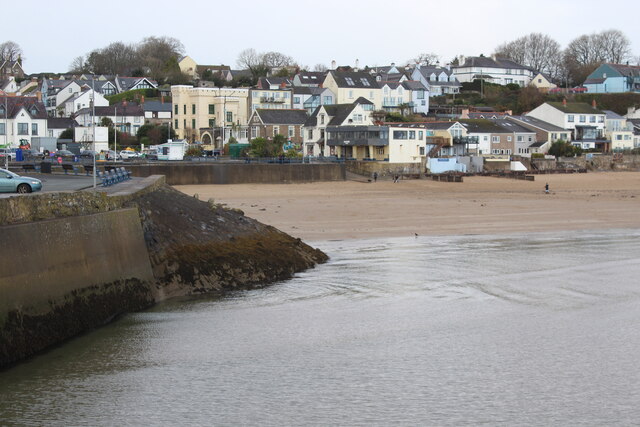
Ridgeway's location makes it an ideal base for exploring the wider Pembrokeshire region. The historic town of Tenby, with its sandy beaches and medieval walls, is just a short drive away. Other nearby attractions include the renowned Oakwood Theme Park and the beautiful Colby Woodland Garden.
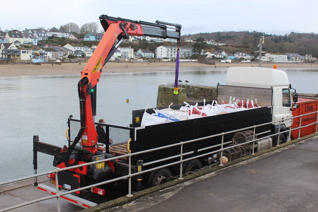
Transportation in Ridgeway primarily relies on private vehicles, but there are also bus services connecting the village to other towns in the area. The closest train station is in Saundersfoot, providing access to the national rail network.
Overall, Ridgeway offers a tranquil and scenic place to live or visit, with a strong sense of community and easy access to the stunning natural landscapes of Pembrokeshire.
If you have any feedback on the listing, please let us know in the comments section below.
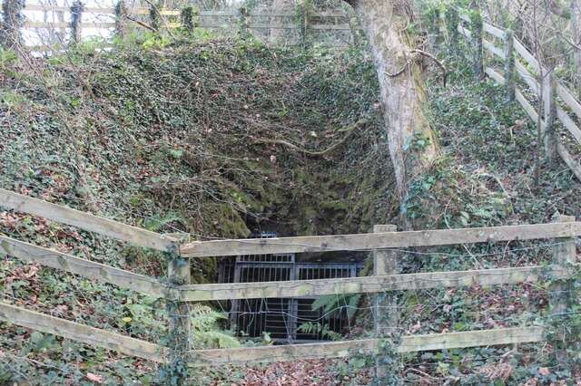
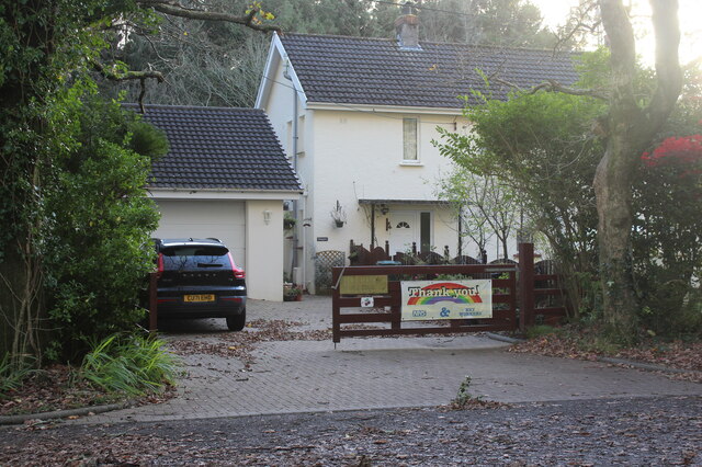
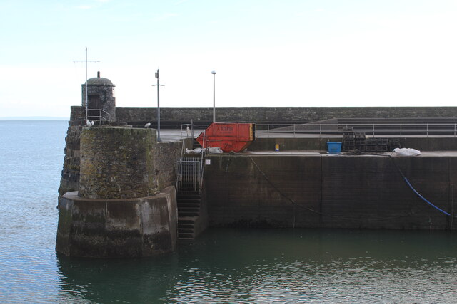
Ridgeway Images
Images are sourced within 2km of 51.714968/-4.70783 or Grid Reference SN1305. Thanks to Geograph Open Source API. All images are credited.


Ridgeway is located at Grid Ref: SN1305 (Lat: 51.714968, Lng: -4.70783)
Unitary Authority: Pembrokeshire
Police Authority: Dyfed Powys
What 3 Words
///airstrip.coverings.tapers. Near Saundersfoot, Pembrokeshire
Related Wikis
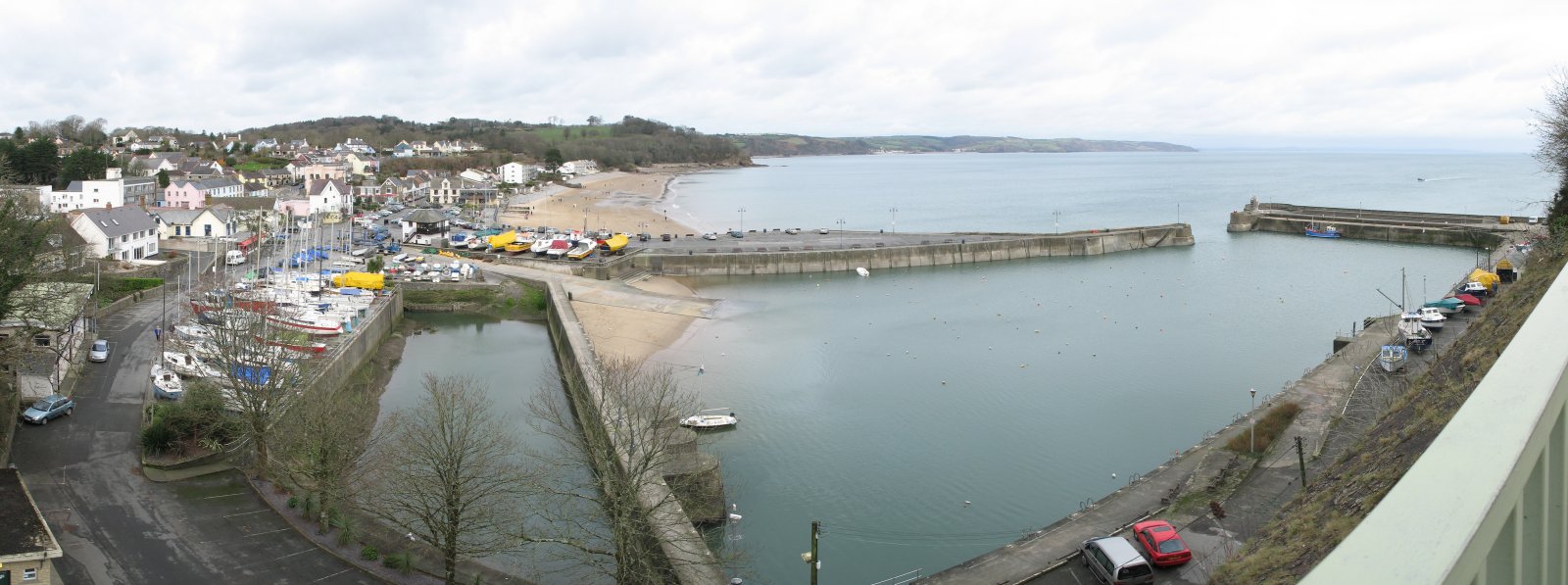
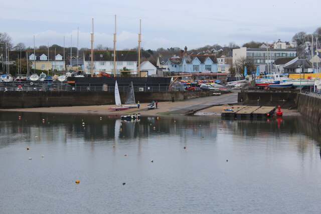
Saundersfoot
Saundersfoot (Welsh: Llanusyllt; Old Welsh: Llanussyllt) is a large village and community (and former electoral ward) in Pembrokeshire, Wales. It is near...
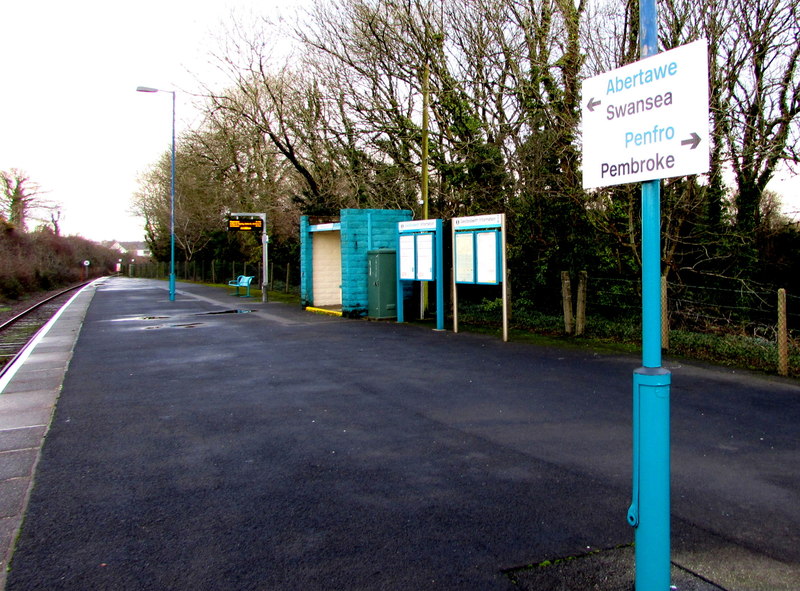
Saundersfoot railway station
Saundersfoot railway station is 1 mile (1.6 km) from Saundersfoot, Pembrokeshire, Wales. It is managed by Transport for Wales Rail. It is usually a request...

Sardis, southeast Pembrokeshire
Sardis is a small village in Pembrokeshire, belonging to the Community of Saundersfoot. It lies just south of Stepaside and northwest of Wisemans Bridge...

Pentlepoir
Pentlepoir is a village in Pembrokeshire, Wales, approximately 3⁄4 mile (1.2 km) south of Kilgetty and 1 mile (1.6 km) west of Saundersfoot. The A478...
Nearby Amenities
Located within 500m of 51.714968,-4.70783Have you been to Ridgeway?
Leave your review of Ridgeway below (or comments, questions and feedback).