Blacketts
Settlement in Kent Swale
England
Blacketts
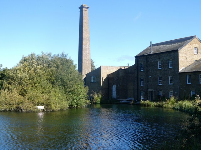
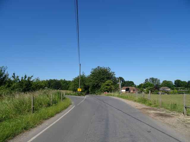
Blacketts is a quaint village located in the county of Kent, situated in southeastern England. With a population of around 500 residents, it exudes a charming and serene atmosphere that appeals to both locals and visitors alike.
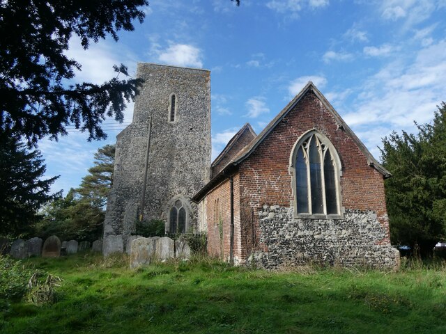
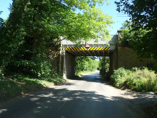
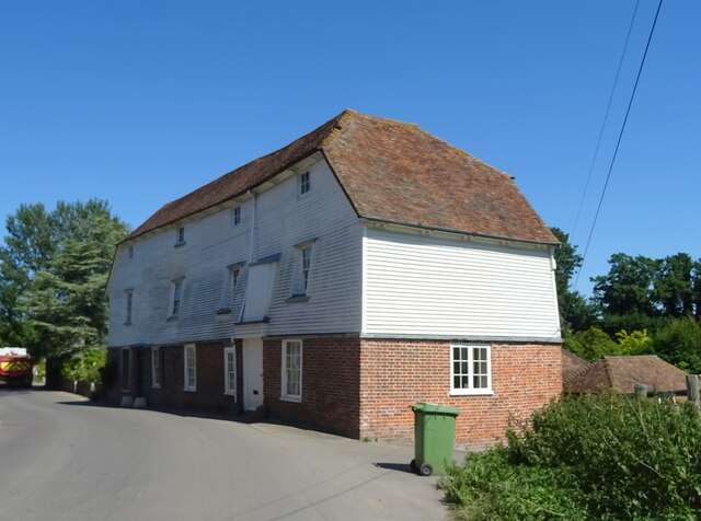
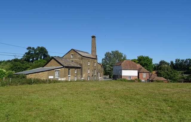
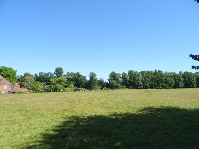
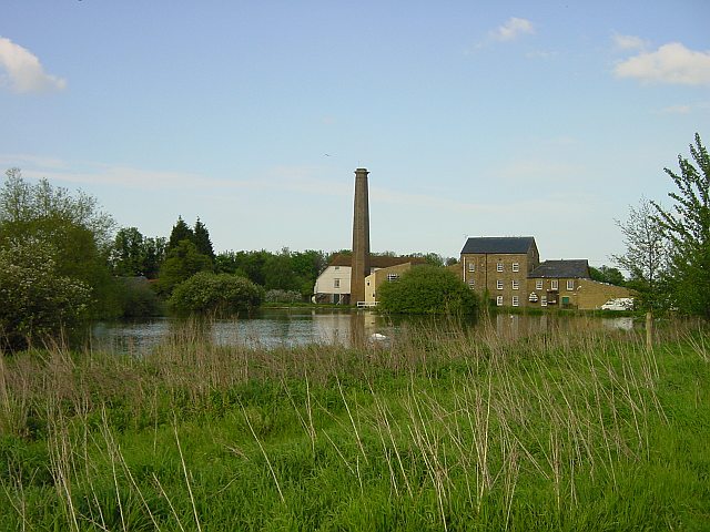
The village is nestled amidst the picturesque countryside, surrounded by rolling hills and lush green fields, offering breathtaking views of the natural beauty that Kent is renowned for. Blacketts is characterized by its idyllic setting, with traditional timber-framed houses and narrow winding lanes that add to its rustic charm.
Despite its small size, Blacketts boasts a strong sense of community, with a village hall serving as a focal point for various social activities and events throughout the year. The village also has a local pub, The Black Horse, where residents and tourists can enjoy a pint of locally brewed ale or indulge in a hearty meal.
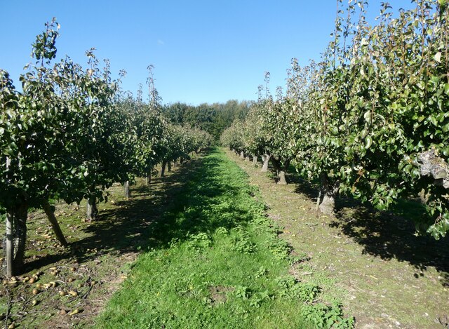
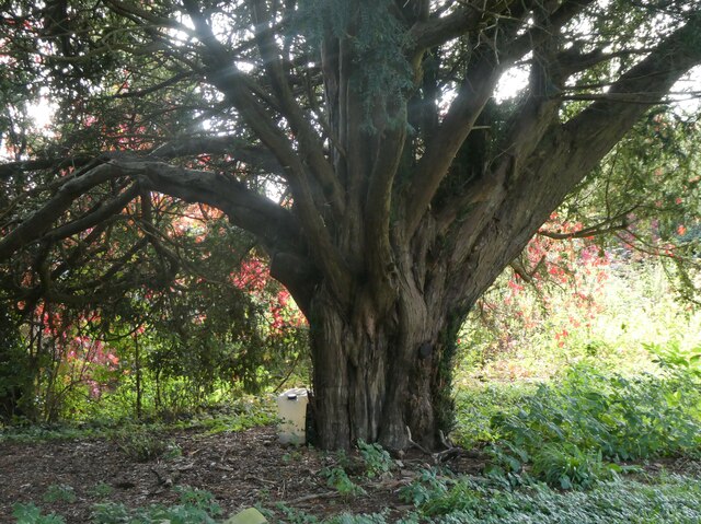
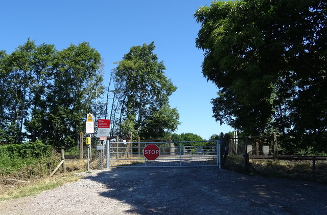
For nature enthusiasts, Blacketts offers numerous opportunities for outdoor pursuits. The surrounding countryside is ideal for long walks, cycling, or horse riding, with an extensive network of footpaths and bridleways to explore. The nearby Blacketts Woods provide a tranquil escape, with its diverse flora and fauna making it a haven for birdwatchers and nature lovers.
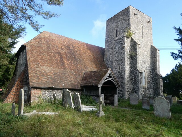
Blacketts is conveniently located near several historical sites and attractions. The famous Leeds Castle, often referred to as the "loveliest castle in the world," is just a short drive away. Additionally, the vibrant city of Canterbury, with its iconic cathedral and rich medieval heritage, can be reached within 30 minutes.
In summary, Blacketts is a charming village that offers a peaceful retreat amidst the natural splendor of Kent. With its sense of community, stunning countryside, and proximity to historical sites, it is a hidden gem that captures the essence of rural England.
If you have any feedback on the listing, please let us know in the comments section below.
Blacketts Images
Images are sourced within 2km of 51.350953/0.78457046 or Grid Reference TQ9465. Thanks to Geograph Open Source API. All images are credited.


Blacketts is located at Grid Ref: TQ9465 (Lat: 51.350953, Lng: 0.78457046)
Administrative County: Kent
District: Swale
Police Authority: Kent
What 3 Words
///badge.bets.worry. Near Teynham, Kent
Nearby Locations
Related Wikis

Sittingbourne and Sheppey (UK Parliament constituency)
Sittingbourne and Sheppey is a constituency in Kent represented in the House of Commons of the UK Parliament since 2010 by Gordon Henderson, a Conservative...
Tonge, Kent
Tonge is a village near Sittingbourne in Kent, England. The hamlet is north of Bapchild (where at the 2011 Census the population was included), close to...

Sittingbourne F.C.
Sittingbourne Football Club are an English football club based in Sittingbourne in Kent. Established in 1886, they were founder members of the Kent League...

Central Park Stadium
Central Park Stadium formerly Sittingbourne Stadium is a greyhound racing track, and former speedway track and football stadium located in Murston, Sittingbourne...

Conyer
Conyer is a hamlet within Teynham civil parish in the borough of Swale in Kent, England. It is located around one mile north of the village of Teynham...
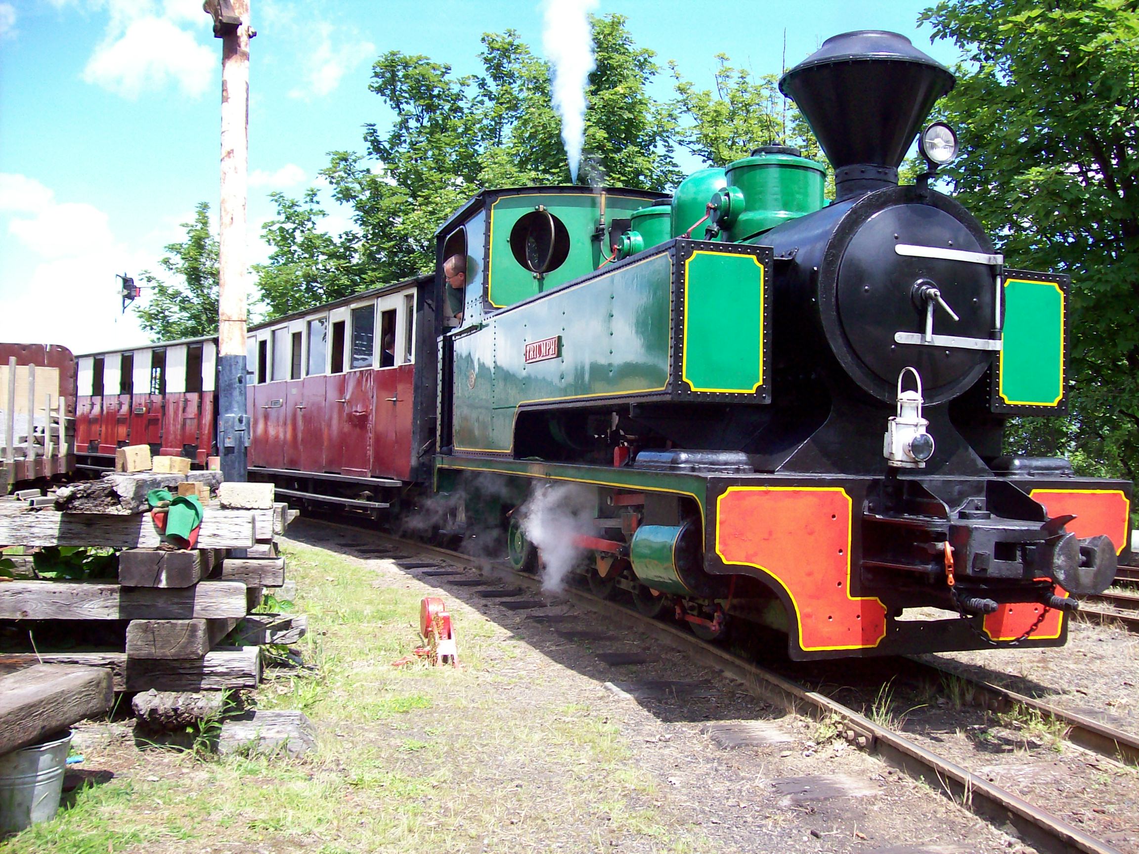
Sittingbourne and Kemsley Light Railway
The Sittingbourne and Kemsley Light Railway in Kent is a 2 ft 6 in (762 mm) narrow gauge heritage railway that operates from Sittingbourne to the banks...
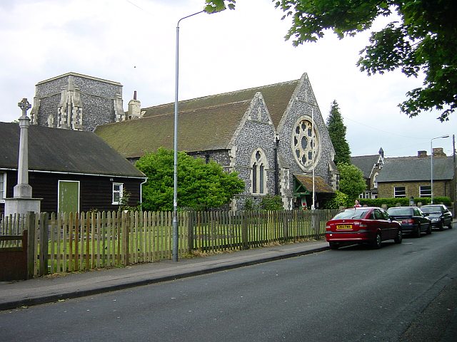
Church of All Saints, Murston
The Church of All Saints, Murston, Sittingbourne, is an Anglican parish church in the county of Kent, England. It is notable due to its architect, William...

Milton Regis
Milton Regis is a village in the district of Swale in Kent, England. Former names include Milton-next-Sittingbourne, Milton Royal, Middleton, Midletun...
Nearby Amenities
Located within 500m of 51.350953,0.78457046Have you been to Blacketts?
Leave your review of Blacketts below (or comments, questions and feedback).