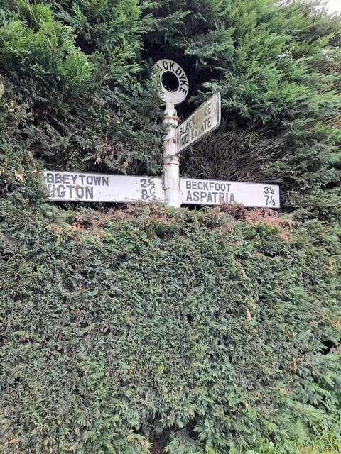
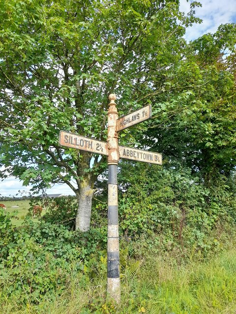
Blackdyke

Settlement in Cumberland Allerdale

England

Blackdyke

Church of St Paul
Church of St Paul Credit: Kevin Waterhouse

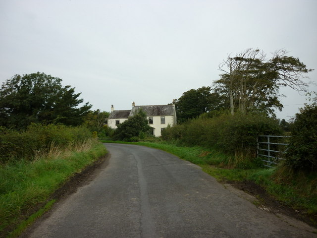
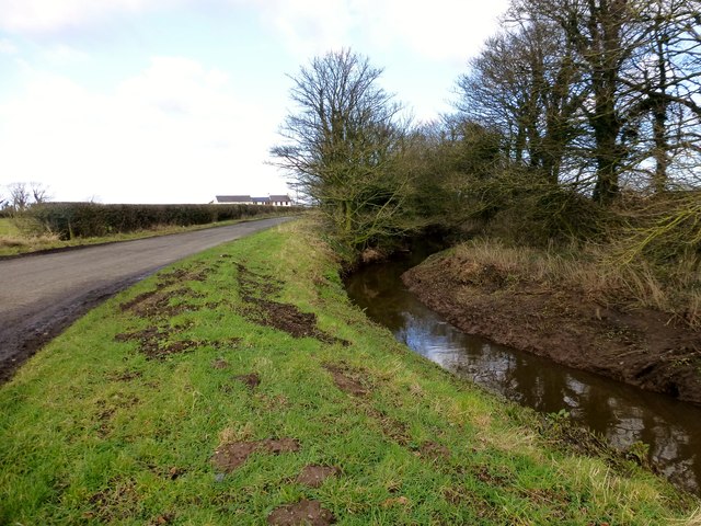
Blackdyke is a small village located in the county of Cumberland, England. Situated in the northern part of the county, it lies approximately 5 miles northeast of the town of Carlisle. The village is nestled amidst the picturesque countryside, surrounded by rolling hills and farmland.

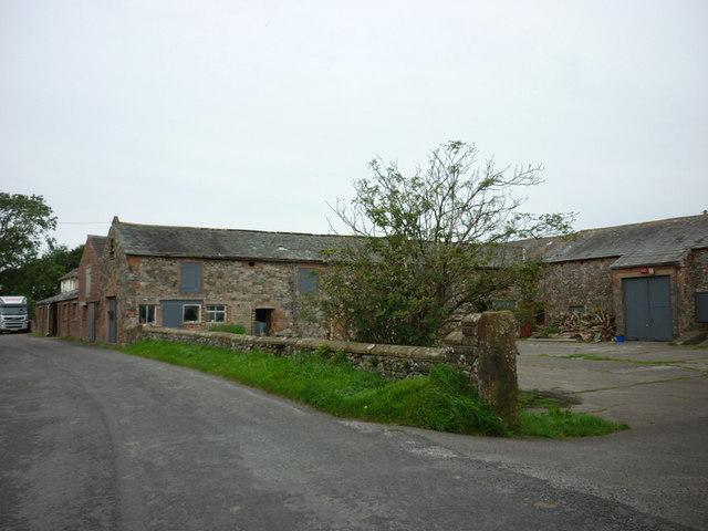
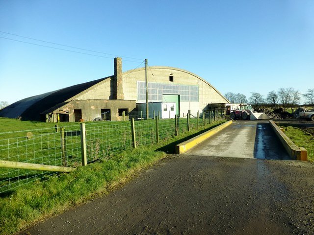
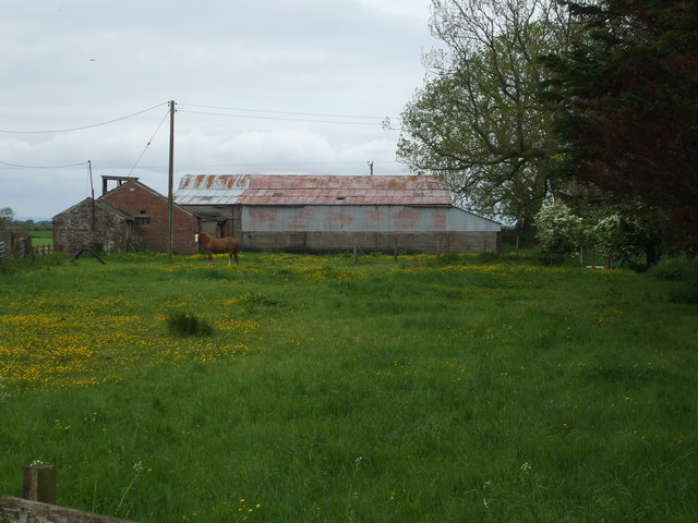
Historically, Blackdyke was primarily an agricultural community, with farming being the main occupation of its residents. However, in recent years, the village has experienced some diversification in its economy with the establishment of small businesses and services catering to the local population.

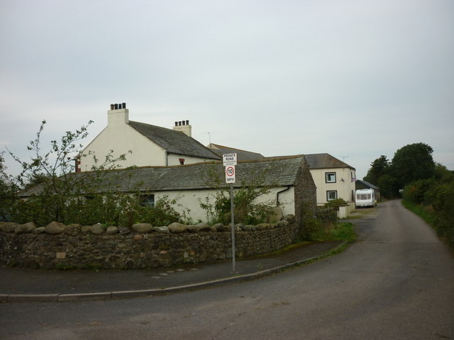
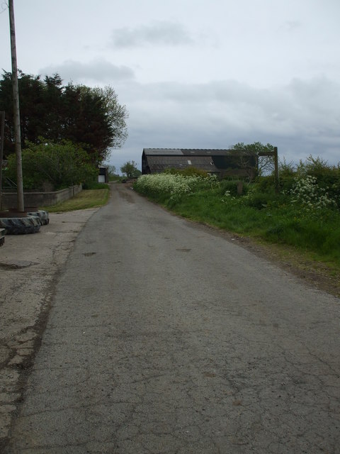
The village itself is characterized by a collection of quaint stone cottages and traditional buildings, giving it a charming and timeless atmosphere. It boasts a close-knit community, with residents often coming together for local events and activities.

Nature enthusiasts will find plenty to explore in the surrounding area. The village is located near the Blackdyke Trout Fishery, a popular spot for fishing enthusiasts. Additionally, the nearby countryside offers opportunities for hiking, cycling, and enjoying the scenic beauty of the region.

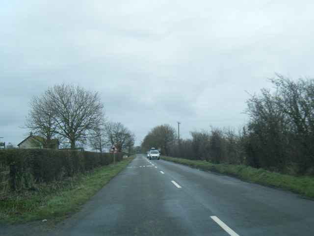
Although small in size, Blackdyke benefits from its proximity to Carlisle, where residents can access a wider range of amenities such as shops, schools, and healthcare facilities. The village also benefits from good transport links, with easy access to major roads and public transportation.

Overall, Blackdyke is a peaceful and picturesque village with a strong sense of community, making it an attractive place to live for those seeking a rural lifestyle in Cumberland.

If you have any feedback on the listing, please let us know in the comments section below.

Blackdyke Images

Images are sourced within 2km of 54.861152/-3.349132 or Grid Reference NY1352. Thanks to Geograph Open Source API. All images are credited.

Church of St Paul
Church of St Paul
Former RAF hangar At the former Silloth airfield now used in connection with road transport
Former RAF hangar
At the former Silloth airfield now used in connection with road transport
Former RAF Silloth The hangars in this view are associated with road haulage and storage, but behind is a concrete factory and all are in the same company group
Former RAF Silloth
The hangars in this view are associated with road haulage and storage, but behind is a concrete factory and all are in the same company group
Direction Sign – Signpost at Black Dyke Located in the hedge on the south side of the junction near Black Dyke Farm, southwest of Silloth. Holme Low parish. 3 arms and annulus finial.

Milestone Society National ID: CU_NY1352
Direction Sign – Signpost at Black Dyke
Located in the hedge on the south side of the junction near Black Dyke Farm, southwest of Silloth. Holme Low parish. 3 arms and annulus finial. Milestone Society National ID: CU_NY1352
Direction Sign – Signpost Located on the north side of the junction north of Highlaws. Holme Low parish. 3 arms and pawn finial.

Milestone Society National ID: CU_NY1351
Direction Sign – Signpost
Located on the north side of the junction north of Highlaws. Holme Low parish. 3 arms and pawn finial. Milestone Society National ID: CU_NY1351
A path leading to Garth Cottage
Garth Cottage
Garth Cottage
Entering Calvo
Entering Calvo
Hartlaw Farmhouse
Hartlaw Farmhouse
Hartlaw Farm
Hartlaw Farm
Buildings near Wath Farm
A minor road to Skinburness
Hangar 25, Causewayhead, Silloth Work today was a trip to Causewayhead, Silloth, to view the progress of a new tunnel composting system. A three hour discussion was required to make sure we were all aware how the validation should proceed.
I then managed a walk from Skinburnessbank down to Grune Point during my late lunch hour in bright sunshine but a very cool breeze.
Hangar 25, Causewayhead, Silloth
Work today was a trip to Causewayhead, Silloth, to view the progress of a new tunnel composting system. A three hour discussion was required to make sure we were all aware how the validation should proceed. I then managed a walk from Skinburnessbank down to Grune Point during my late lunch hour in bright sunshine but a very cool breeze.
Minor Road And Drainage Ditch Heading north on minor road towards Skinburness.
Minor Road And Drainage Ditch
Heading north on minor road towards Skinburness.
Barns at Abbot Farm, Blackdyke
Cracked tarmac in Blackdyke This road passes through Middle Farm, which has buildings on both sides.
Cracked tarmac in Blackdyke
This road passes through Middle Farm, which has buildings on both sides.
Lane from Blackdyke Shown as a track with green blobs on, I didn't see any when I drove up it!
Lane from Blackdyke
Shown as a track with green blobs on, I didn't see any when I drove up it!
B5301 near Balladoyle Farm
Show me another place!

Blackdyke is located at Grid Ref: NY1352 (Lat: 54.861152, Lng: -3.349132)

Administrative County: Cumbria

District: Allerdale

Police Authority: Cumbria

What 3 Words

///fish.topping.hazelnuts. Near Silloth, Cumbria

Nearby Locations

Blackdyke

Related Wikis

Black Dyke Halt railway station

Black Dyke Halt or Blackdyke was a railway station near Blackdyke, Cumbria on the Silloth branch, serving the small hamlet of Black Dyke and its rural...

Causewayhead

Causewayhead is a hamlet in the civil parish of Holme Low in Cumbria, England, about 1 mile (2 km) south-east of Silloth. The B5302 road runs through the...

Blackdyke

Blackdyke is a hamlet in the civil parish of Holme Low in Cumbria, United Kingdom. It is located 3.5 miles (5.6 km) by road to the east of Silloth. A railway...

Causewayhead railway station

Causewayhead or, originally, Causey Head, was an early, short lived railway station near Causewayhead, Cumbria on the Carlisle & Silloth Bay Railway &...

Nearby Amenities

Located within 500m of 54.861152,-3.349132
Parkhouse
Naptan AtcoCode: 090002341346
Naptan Bearing: E
Naptan BusStopType: CUS
Naptan CommonName: Parkhouse
Naptan Indicator: o/s
Naptan Landmark: Parkhouse
Naptan NaptanCode: cumadwja
Naptan Street: No name
Naptan Verified: no
Source: naptan_import
Lat/Long: 54.8616553/-3.3552069
Power: pole
Lat/Long: 54.8590221/-3.353688
Power: pole
Lat/Long: 54.8586624/-3.3525266
Power: pole
Lat/Long: 54.857828/-3.3498792
Power: pole
Lat/Long: 54.857442/-3.3486816
Power: pole
Lat/Long: 54.8570699/-3.3474371
Power: pole
Lat/Long: 54.8573208/-3.345986
Power: pole
Lat/Long: 54.8575686/-3.3444437
Power: pole
Lat/Long: 54.8594066/-3.3545396
Power: pole
Lat/Long: 54.8597902/-3.3554395
Power: pole
Lat/Long: 54.8609057/-3.3495291
Power: pole
Lat/Long: 54.8612715/-3.3507881
Power: pole
Lat/Long: 54.8616349/-3.3520269
Power: pole
Lat/Long: 54.8619926/-3.3532415
Power: pole
Lat/Long: 54.8623421/-3.3544299
Power: pole
Lat/Long: 54.8624699/-3.3548879
The data included in this document is from www.openstreetmap.org. The data is made available under ODbL.

Have you been to Blackdyke?

Leave your review of Blackdyke below (or comments, questions and feedback).