An Rubha
Settlement in Dunbartonshire
Scotland
An Rubha
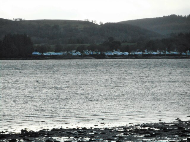
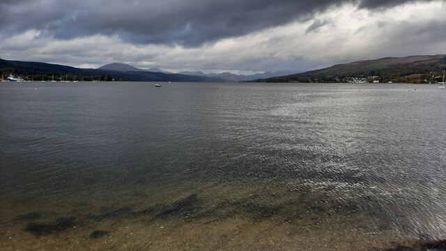
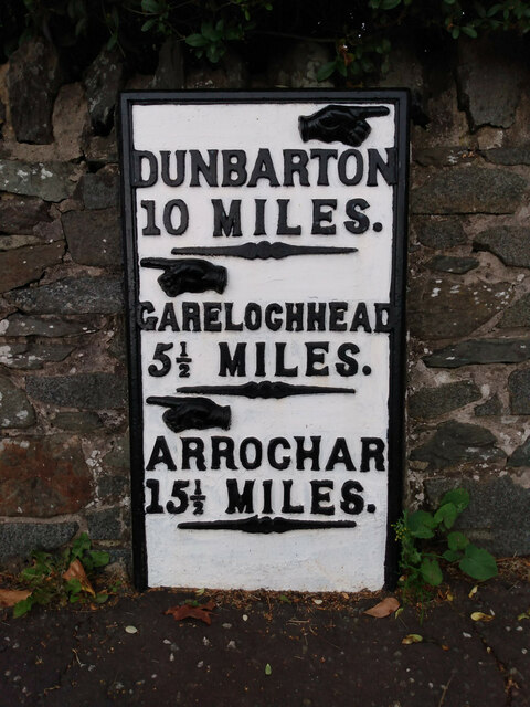
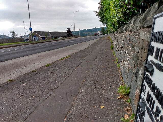
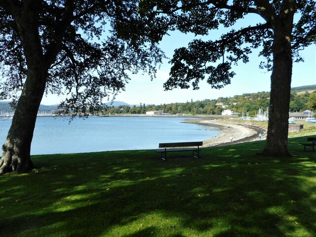
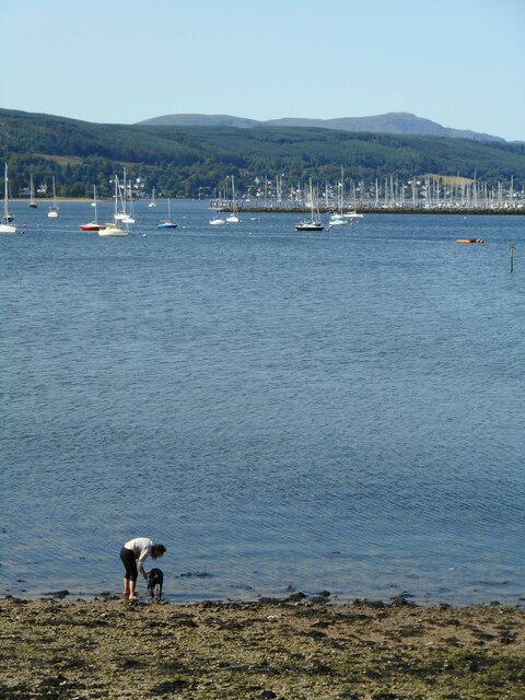
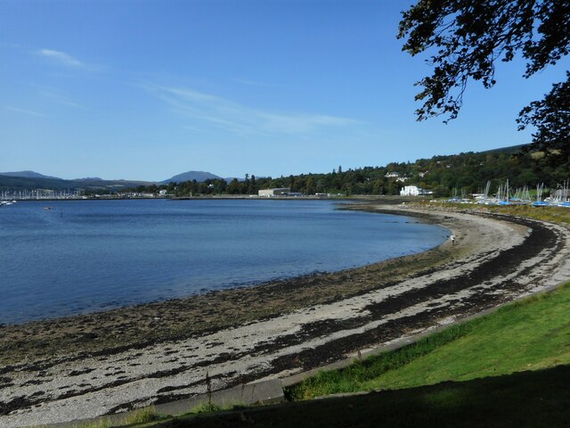
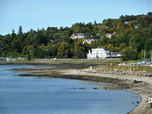
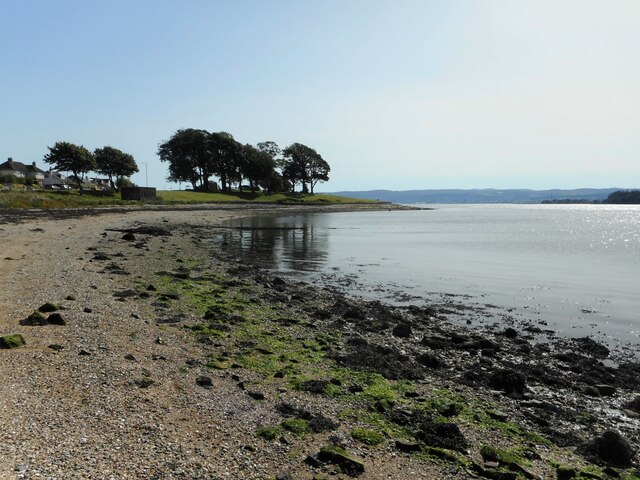
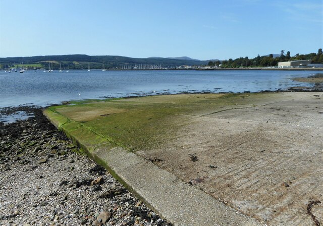
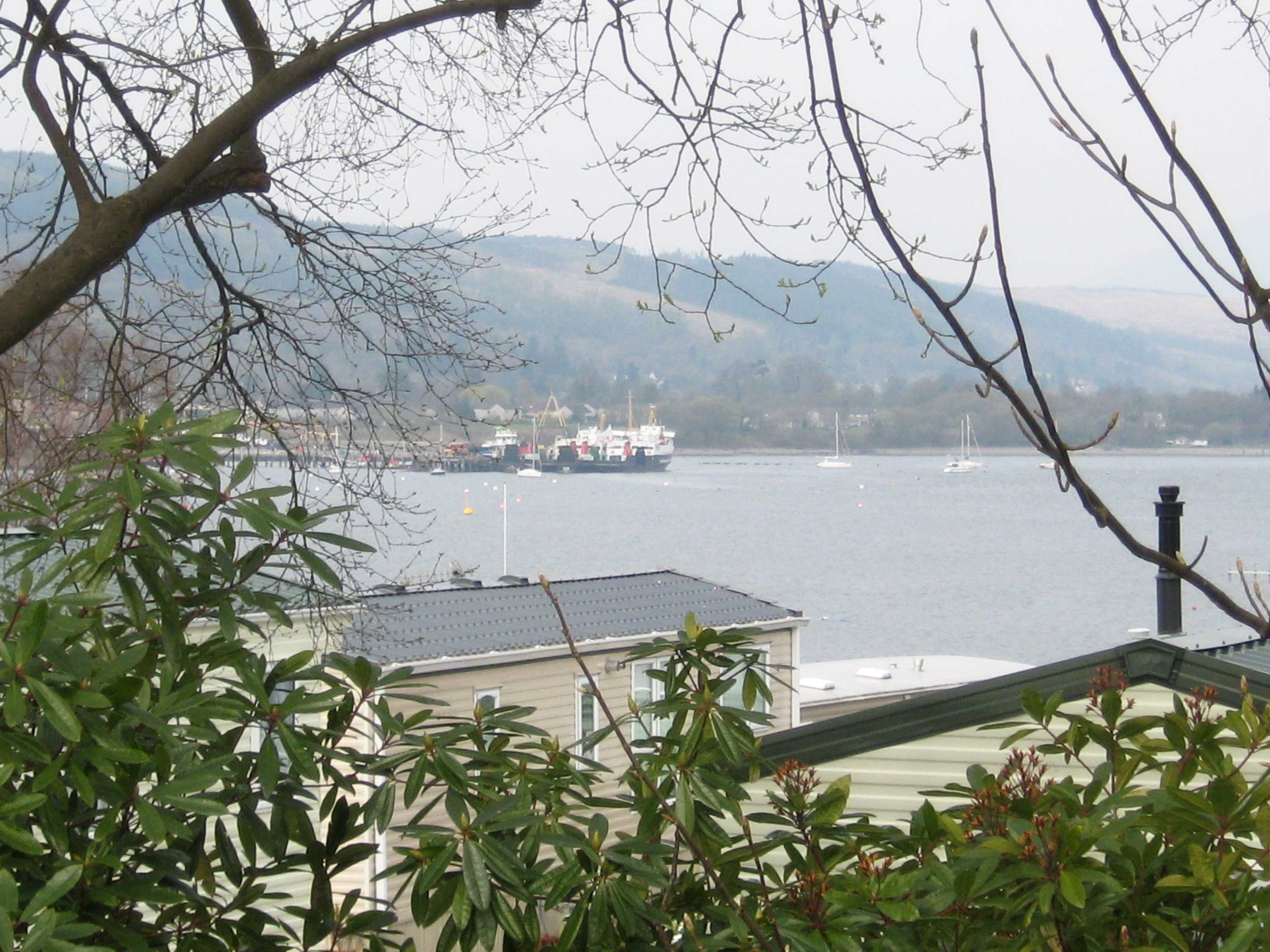
An Rubha is a small village located in Dunbartonshire, Scotland. Situated on the western shore of the Gare Loch, it offers stunning views of the surrounding hills and the Loch itself. The village is approximately 25 miles northwest of Glasgow, making it an ideal location for commuters working in the city.
An Rubha is a close-knit community with a population of around 500 residents. The village is known for its peaceful and picturesque setting, making it a popular destination for those seeking a tranquil retreat. The area is abundant in natural beauty, with lush green landscapes and a diverse range of flora and fauna.
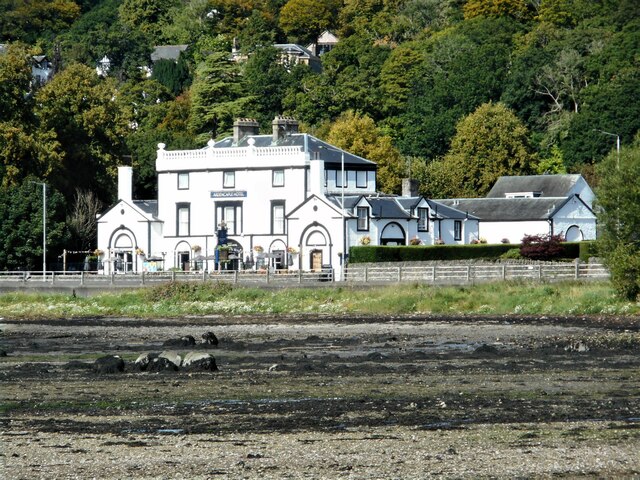
The village is home to a number of amenities and attractions that cater to both residents and visitors. There is a local primary school, a community center, and a small convenience store providing essential goods. Additionally, there are several pubs and restaurants where locals and tourists can enjoy traditional Scottish cuisine and a friendly atmosphere.
For outdoor enthusiasts, An Rubha offers an array of activities. The Gare Loch provides opportunities for sailing, kayaking, and fishing, while the surrounding hills offer fantastic hiking trails with breathtaking views. The nearby Loch Lomond and The Trossachs National Park is also within easy reach, providing further opportunities for outdoor adventures.
Overall, An Rubha is a charming village in Dunbartonshire that combines natural beauty with a strong sense of community. Its stunning location and range of amenities make it an attractive place to live or visit for those seeking a peaceful and picturesque Scottish experience.
If you have any feedback on the listing, please let us know in the comments section below.
An Rubha Images
Images are sourced within 2km of 56.017853/-4.7785114 or Grid Reference NS2684. Thanks to Geograph Open Source API. All images are credited.


An Rubha is located at Grid Ref: NS2684 (Lat: 56.017853, Lng: -4.7785114)
Unitary Authority: Argyll and Bute
Police Authority: Argyll and West Dunbartonshire
Also known as: Rhu
What 3 Words
///drawn.pint.innocence. Near Rhu, Argyll & Bute
Nearby Locations
Related Wikis

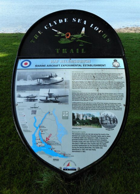
Rhu
Rhu (; Scottish Gaelic: An Rubha [ən ˈrˠu.ə]) is a village and historic parish on the east shore of the Gare Loch in Argyll and Bute, Scotland. The traditional...
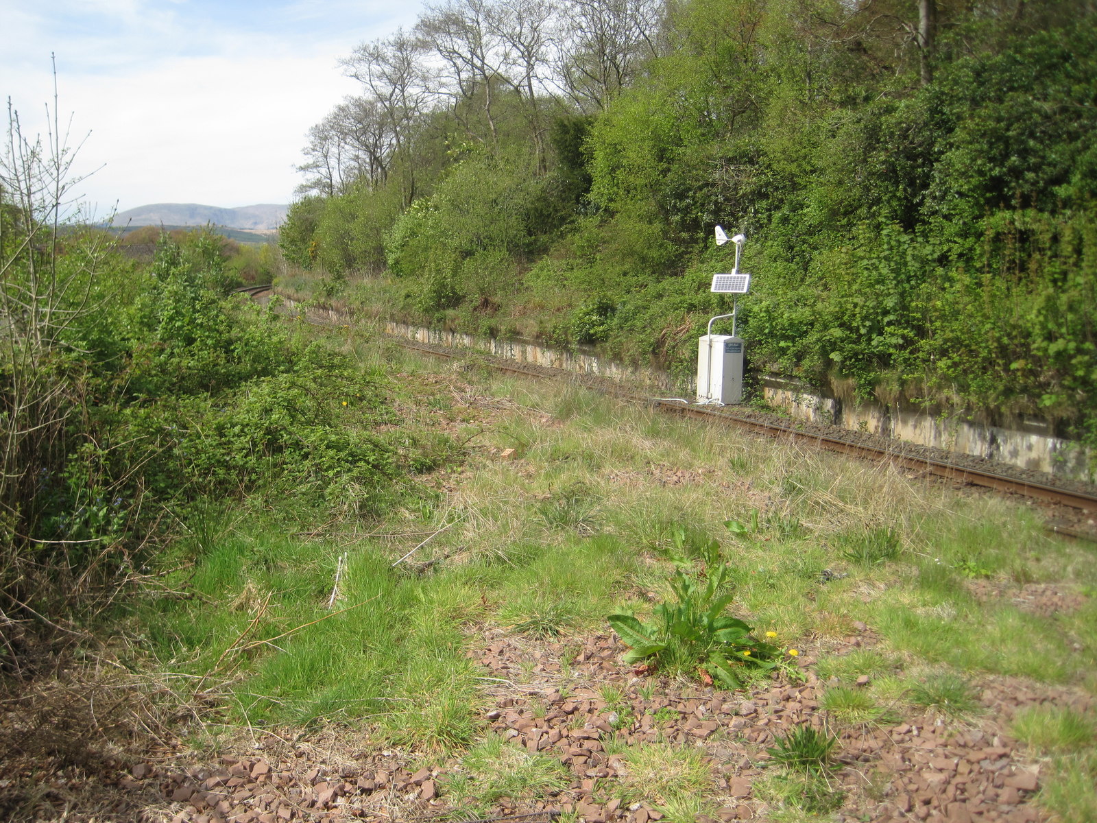
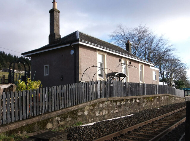
Rhu railway station
Rhu is a closed railway station located in the village of Rhu, in Argyll and Bute, Scotland, on the east shore of Gare Loch. It is located towards the...

Rosneath naval base
Rosneath naval base was a naval base, constructed on the Rosneath peninsula, Argyll and Bute, Scotland. close to the village of Rosneath. The construction...

Ardencaple Castle
Ardencaple Castle, also known as Ardincaple Castle, and sometimes referred to as Ardencaple Castle Light, is a listed building, situated about 1 statute...
Rosneath
Rosneath (Ros Neimhidh in Gaelic) is a village in Argyll and Bute, Scotland. It sits on the western shore of the Gare Loch, 2 miles (3 kilometres) northwest...
Ardencaple Park
Ardencaple Park was a football ground in Helensburgh, Scotland. It was the home ground of Helensburgh F.C. during their time in the Scottish Football League...
Rosneath House
Rosneath House was a substantial mansion in Dunbartonshire of note both as the home of Princess Louise, Duchess of Argyll and as the military base where...
Clynder
Clynder is a place on the western shore of the Gare Loch, Argyll and Bute, Scotland. Historically in the County of Dunbarton, Clynder is one of a string...
Nearby Amenities
Located within 500m of 56.017853,-4.7785114Have you been to An Rubha?
Leave your review of An Rubha below (or comments, questions and feedback).