Rhitongue
Settlement in Sutherland
Scotland
Rhitongue

The requested URL returned error: 429 Too Many Requests
If you have any feedback on the listing, please let us know in the comments section below.
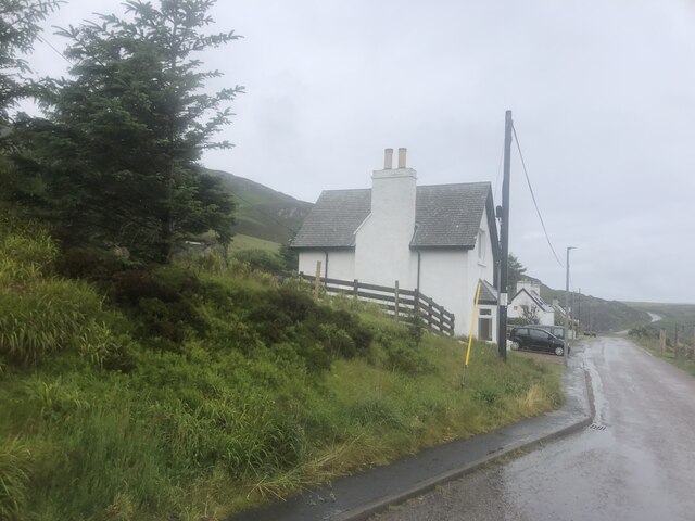
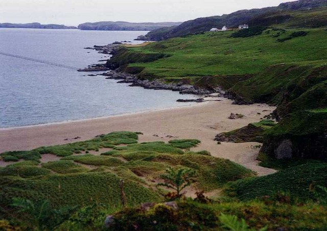
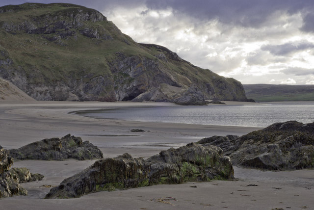
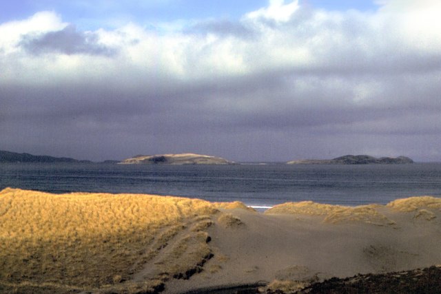
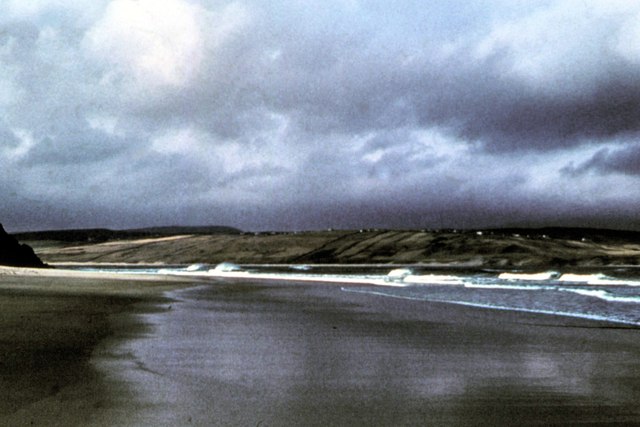
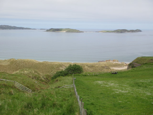
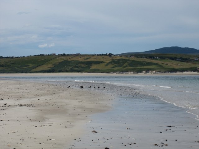
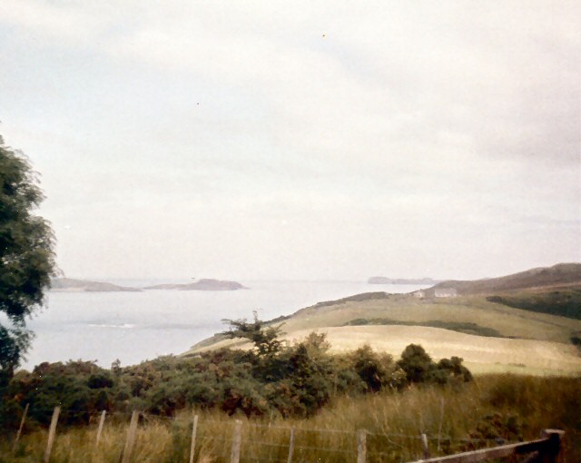
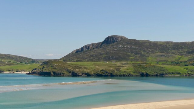
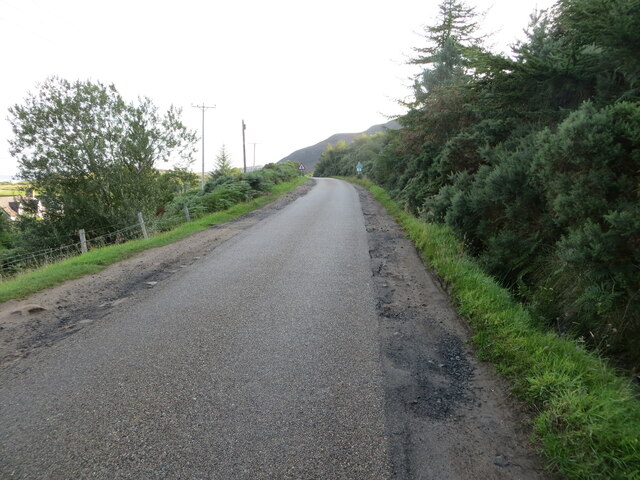
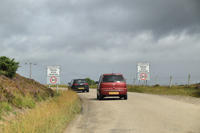
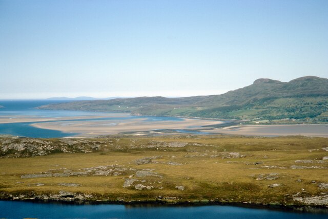
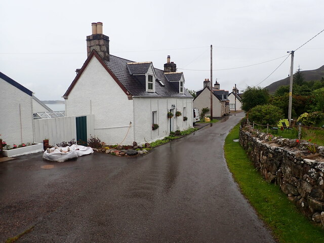
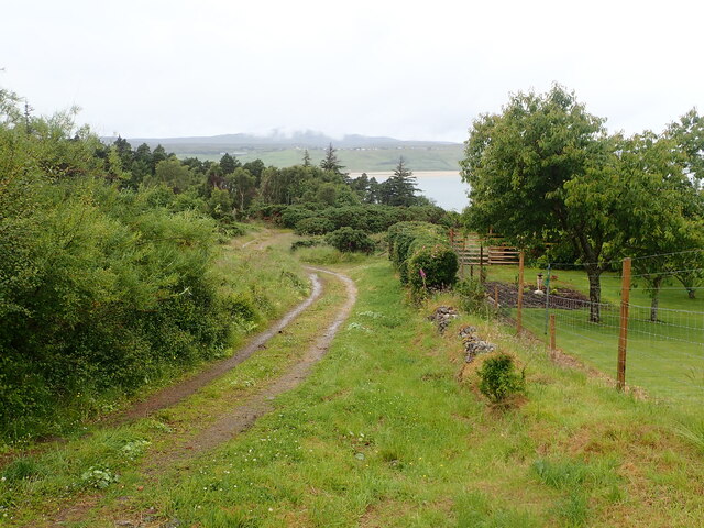
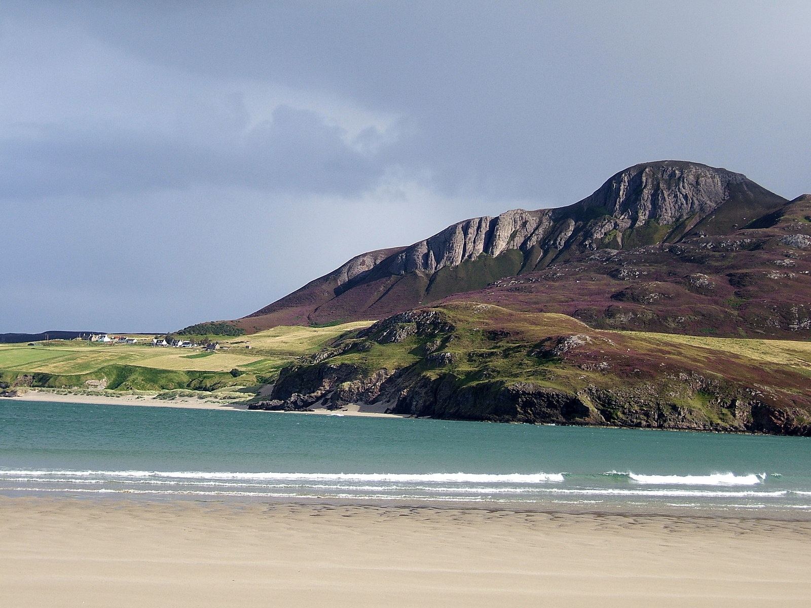
Rhitongue Images
Images are sourced within 2km of 58.498841/-4.4036238 or Grid Reference NC6059. Thanks to Geograph Open Source API. All images are credited.


Rhitongue is located at Grid Ref: NC6059 (Lat: 58.498841, Lng: -4.4036238)
Unitary Authority: Highland
Police Authority: Highlands and Islands
What 3 Words
///notch.tour.skips. Near Altnaharra, Highland
Nearby Locations
Related Wikis
Cnoc an Fhreiceadain
Cnoc an Fhreiceadain (Hill of Watching or Watch Hill) is a coastal mountain peak in northern Scotland. It is 307 metres (1,007 ft) high with commanding...

Achuvoldrach
Achuvoldrach (Scottish Gaelic: Achadh a’ Mholltairich) is a small remote village on the west shore of the Kyle of Tongue in Sutherland, in the Highland...

Coldbackie
Coldbackie (Scottish Gaelic: Callbacaidh) is a crofting township in Sutherland and is in the Scottish council area of Highland Scotland. == Geography... ==

Braetongue
Braetongue (Scottish Gaelic: Bràigh Thunga) is an area in northern Sutherland just north of the town of Tongue (grid ref. NC595572). Runrig mentions the...
Nearby Amenities
Located within 500m of 58.498841,-4.4036238Have you been to Rhitongue?
Leave your review of Rhitongue below (or comments, questions and feedback).