Blackbeck

Settlement in Cumberland Copeland

England

Blackbeck

A595 at The Stanley Arms, Calder Bridge
A595 at The Stanley Arms, Calder Bridge Credit: Colin Pyle

Blackbeck is a small village located in the county of Cumberland, in the northwest region of England. Situated in the picturesque Lake District National Park, the village is surrounded by stunning natural beauty and offers a tranquil setting for residents and visitors alike.

With a population of around 200 residents, Blackbeck is a close-knit community that prides itself on its friendly and welcoming atmosphere. The village is characterized by its traditional stone cottages and charming rural architecture, which adds to its quaint and idyllic charm.

Blackbeck is well-known for its proximity to the Lake District, offering residents and visitors ample opportunities for outdoor activities such as hiking, cycling, and fishing. The village is located near several beautiful lakes, including Loweswater and Crummock Water, which are popular destinations for boating and water sports enthusiasts.

Despite its small size, Blackbeck boasts a vibrant social scene. The village has a community center that hosts various events and activities throughout the year, including festivals, fairs, and concerts. Additionally, Blackbeck is home to a local pub, which serves as a gathering place for locals and tourists alike.

In terms of amenities, Blackbeck has a small convenience store that caters to the basic needs of the residents. For more extensive shopping options, the nearby town of Cockermouth, just a short drive away, offers a wider range of shops and services.

Overall, Blackbeck is a charming village that offers a peaceful and picturesque setting amidst the stunning landscapes of the Lake District, making it an ideal place for those seeking a rural retreat or a base for exploring the natural wonders of the region.

If you have any feedback on the listing, please let us know in the comments section below.
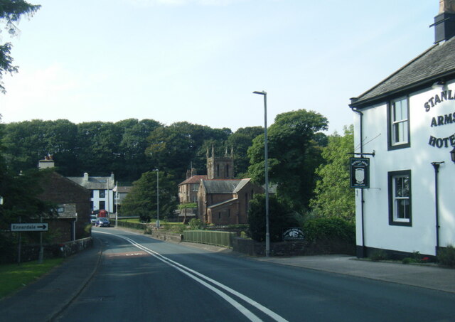
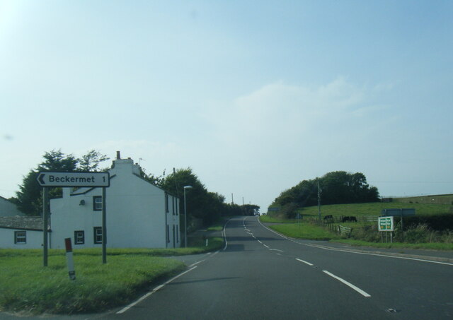
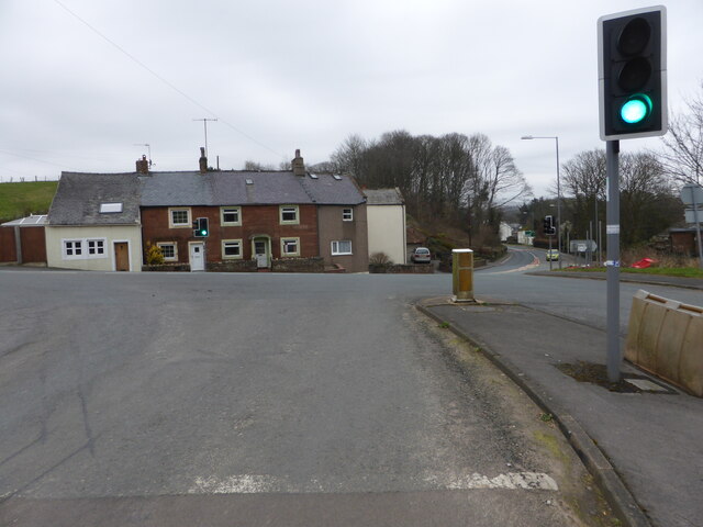
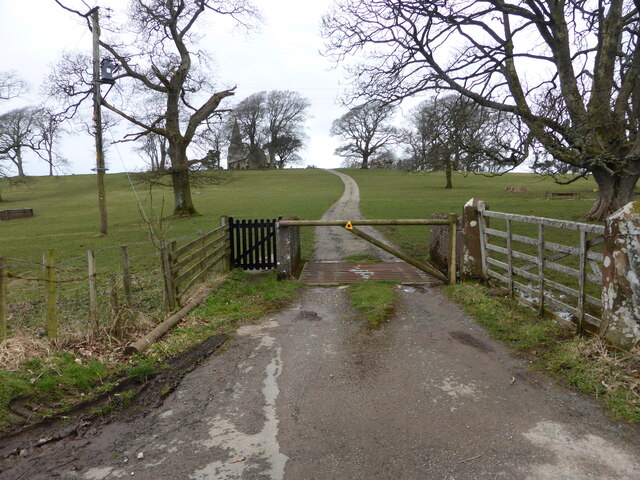
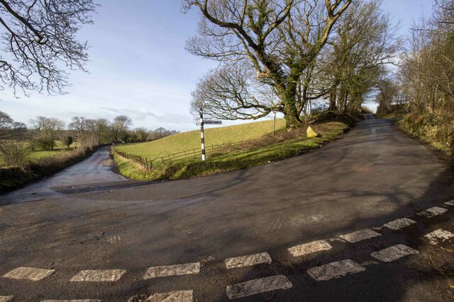
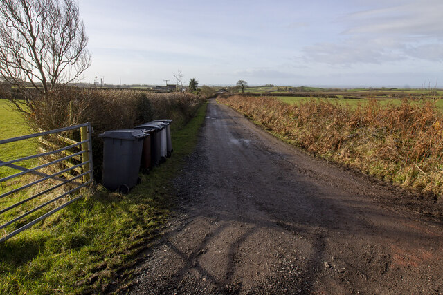
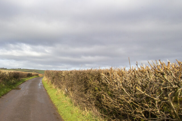
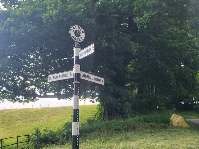
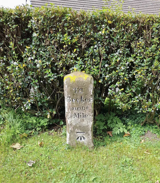
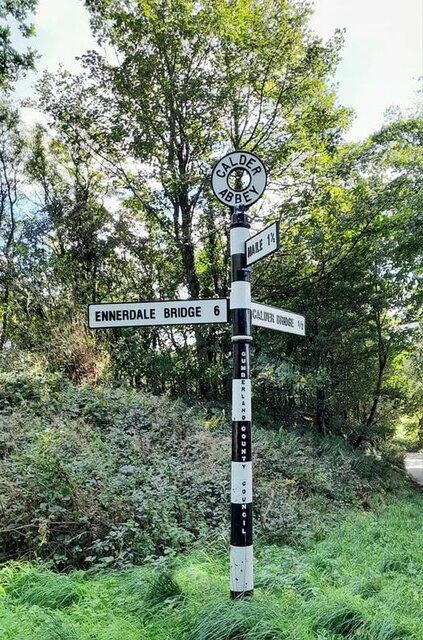
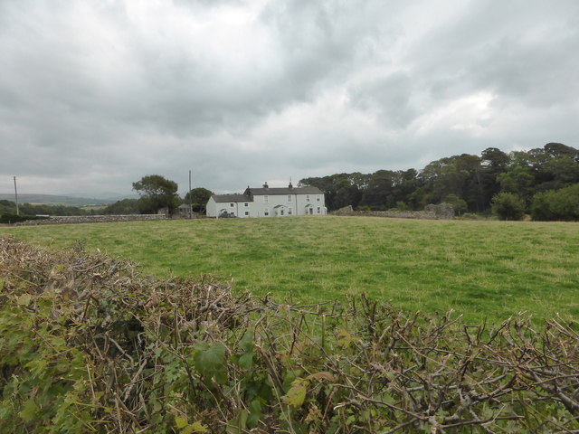
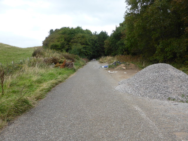
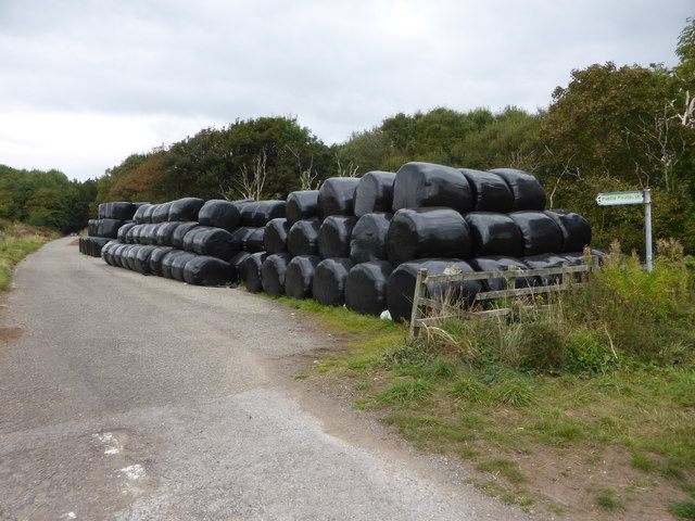
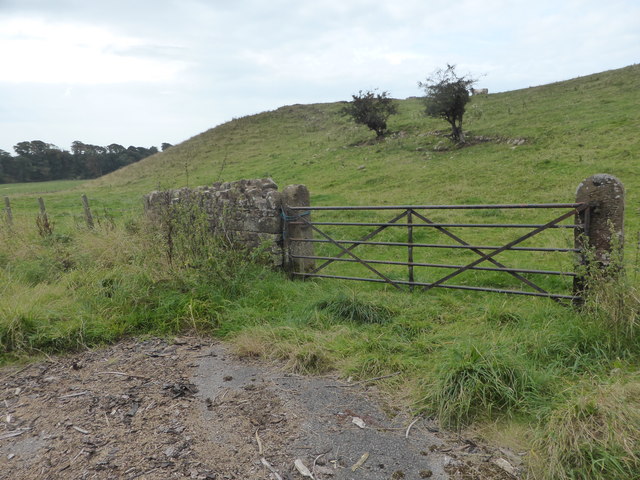
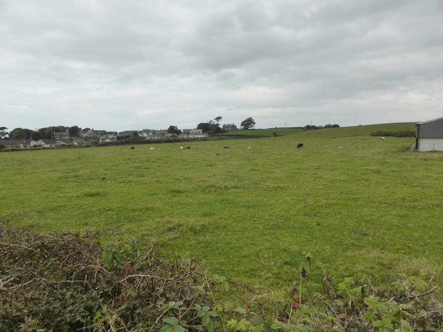
Blackbeck Images

Images are sourced within 2km of 54.448383/-3.498702 or Grid Reference NY0206. Thanks to Geograph Open Source API. All images are credited.

A595 at The Stanley Arms, Calder Bridge
A595 at Nursery Houses
Road junction at Calder Bridge This is a busy junction, serving one of the entry gates for Sellafield site.
Road junction at Calder Bridge
This is a busy junction, serving one of the entry gates for Sellafield site.
The driveway to Ponsonby Church
Hairpin bend and signpost
Farm track to Moor House Farm Farm track bounded by hedgerows
Farm track to Moor House Farm
Farm track bounded by hedgerows
Road at Sheepfields Farm Road at Sheepfields Farm bounded by hedgerows
Road at Sheepfields Farm
Road at Sheepfields Farm bounded by hedgerows
Farmstead in Haile village Vernacular farm building and farmhouse
Farmstead in Haile village
Vernacular farm building and farmhouse
Direction Sign – Signpost by the Cold Fell road near Calder Abbey Located on the northwest side of the junction of the Cold Fell Road and the road to Thornholme, near Calder Abbey. Ponsonby parish. 3 arms and annulus finial. See <a title="https://www.geograph.org.uk/photo/6093912" href="https://www.geograph.org.uk/photo/6093912">Link</a> for an older photo before two missing arms were replaced.

Milestone Society National ID: CU_NY0406B
Direction Sign – Signpost by the Cold Fell road near Calder Abbey
Located on the northwest side of the junction of the Cold Fell Road and the road to Thornholme, near Calder Abbey. Ponsonby parish. 3 arms and annulus finial. See Link for an older photo before two missing arms were replaced. Milestone Society National ID: CU_NY0406B
Old Milestone by Hardgates Road, south of Haile Carved stone post by the UC road, in parish of HAILE (COPELAND District), Hardgates Road, by "Langdale", on grass verge at T-junction, on West side of road. Egremont stone, erected by the Egremont to Salthouse turnpike trust in the 19th century. 

Inscription reads:-
: To / Calder / Bridge / 2 Miles : : TO / Becker / mont / ½ Mile : 
Carved benchmark on lower right face.

Grade II Listed. List Entry Number: 1063738 <span class="nowrap"><a title="https://historicengland.org.uk/listing/the-list/list-entry/1063738" rel="nofollow ugc noopener" href="https://historicengland.org.uk/listing/the-list/list-entry/1063738">Link</a><img style="margin-left:2px;" alt="External link" title="External link - shift click to open in new window" src="https://s1.geograph.org.uk/img/external.png" width="10" height="10"/></span>

Milestone Society National ID: CU_CBBM02.
Old Milestone by Hardgates Road, south of Haile
Carved stone post by the UC road, in parish of HAILE (COPELAND District), Hardgates Road, by "Langdale", on grass verge at T-junction, on West side of road. Egremont stone, erected by the Egremont to Salthouse turnpike trust in the 19th century. Inscription reads:- : To / Calder / Bridge / 2 Miles : : TO / Becker / mont / ½ Mile : Carved benchmark on lower right face. Grade II Listed. List Entry Number: 1063738 LinkExternal link Milestone Society National ID: CU_CBBM02.
Direction Sign – Signpost Signpost on the Cold Fell Road in Ponsonby parish Located on the southeast side of the junction of the Cold Fell Road and the road to Haile in Ponsonby parish. 3 arms and annulus finial. See also <a title="https://www.geograph.org.uk/photo/6068800" href="https://www.geograph.org.uk/photo/6068800">Link</a> which shows this before it was refurbished.

Milestone Society National ID: CU_NY0406A
Direction Sign – Signpost Signpost on the Cold Fell Road in Ponsonby parish
Located on the southeast side of the junction of the Cold Fell Road and the road to Haile in Ponsonby parish. 3 arms and annulus finial. See also Link which shows this before it was refurbished. Milestone Society National ID: CU_NY0406A
Mill Farm near Beckermet
The old road is now a dumping ground
Silage store on the old road near Beckermet The old road is now a public footpath.
Silage store on the old road near Beckermet
The old road is now a public footpath.
Castle Earthworks This is private farmland and it's not possible to get closer to the prominent castle site.
Castle Earthworks
This is private farmland and it's not possible to get closer to the prominent castle site.
Looking across the fields to Morass Road
Ordnance Survey Cut Mark This OS cut mark can be found on the roadside building at Town End Farm. It marks a point 78.367m above mean sea level.
Ordnance Survey Cut Mark
This OS cut mark can be found on the roadside building at Town End Farm. It marks a point 78.367m above mean sea level.
Milestone - Calder Bridge 2 The OS cut mark on the stone marks a point 82.320m above mean sea level.
Milestone - Calder Bridge 2
The OS cut mark on the stone marks a point 82.320m above mean sea level.
Show me another place!

Blackbeck is located at Grid Ref: NY0206 (Lat: 54.448383, Lng: -3.498702)

Administrative County: Cumbria

District: Copeland

Police Authority: Cumbria

What 3 Words

///gobbling.acoustics.uniform. Near Egremont, Cumbria

Nearby Locations

Nursery Wood Blackbeck

Related Wikis

Blackbeck

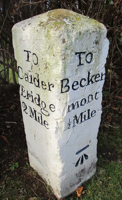
Blackbeck is a small village in Cumbria, England. It is northeast of Beckermet and Sellafield, along the A595 road. It contains properties such as the...

St John, Beckermet

St John, Beckermet, is in Beckermet, Cumbria, England. It is an Anglican parish church in the deanery of Calder, and the diocese of Carlisle. Its benefice...

Beckermet

Beckermet is a village and civil parish in Cumbria, England, between Egremont and Seascale. The parish had a population of 1,619 in the 2011 census.Historically...

Beckermet railway station

Beckermet railway station is a disused rail station located in the village of Beckermet in Cumbria. Tracks were laid southwards from Whitehaven and Moor...

Nearby Amenities

Located within 500m of 54.448383,-3.498702
Post Box
Ref: CA22 100
Lat/Long: 54.4484147/-3.500661
Blackbeck Inn (N bound)
Naptan AtcoCode: 090050243876
Naptan Bearing: NW
Naptan BusStopType: CUS
Naptan CommonName: Blackbeck Inn (N bound)
Naptan Indicator: near
Naptan Landmark: Blackbeck Inn
Naptan NaptanCode: cumawgjg
Naptan Street: No name
Naptan Verified: no
Source: naptan_import
Lat/Long: 54.4485492/-3.5013448
Blackbeck Inn (S bound)
Naptan AtcoCode: 090050243877
Naptan Bearing: SE
Naptan BusStopType: CUS
Naptan CommonName: Blackbeck Inn (S bound)
Naptan Indicator: o/s
Naptan Landmark: Blackbeck Inn
Naptan NaptanCode: cumawgjm
Naptan Street: No name
Naptan Verified: no
Source: naptan_import
Lat/Long: 54.4486674/-3.5012412
Taylor's Blackbeck Brewery
Addr Postcode: CA22 2NY
Craft: brewery
Fixme: Location approx.
Real Ale: yes
Website: http://www.blackbeckbrewery.co.uk/
Lat/Long: 54.4489102/-3.5008776
Give Way
Lat/Long: 54.4503675/-3.5049088
Parking
Parking: street_side
Lat/Long: 54.4484656/-3.5007643
Power: pole
Lat/Long: 54.445057/-3.4990973
Power: pole
Lat/Long: 54.4450732/-3.4989541
Power: pole
Lat/Long: 54.4461072/-3.4997099
Power: pole
Lat/Long: 54.4461141/-3.4995866
Material: wood
Power: pole
Lat/Long: 54.4468612/-3.4992962
Material: wood
Power: pole
Lat/Long: 54.4468774/-3.4994394
Power: pole
Lat/Long: 54.4477633/-3.498962
Power: pole
Lat/Long: 54.4477772/-3.4990933
Power: pole
Lat/Long: 54.4485543/-3.4986796
Power: pole
Lat/Long: 54.4485636/-3.4987949
Power: pole
Lat/Long: 54.4495928/-3.4984051
Power: pole
Lat/Long: 54.4496206/-3.4982778
Power: pole
Lat/Long: 54.449986/-3.4992683
Power: pole
Lat/Long: 54.4500554/-3.4991728
Power: pole
Lat/Long: 54.4503908/-3.5000798
Power: pole
Lat/Long: 54.4504625/-3.4999923
Power: pole
Lat/Long: 54.4512072/-3.501675
Power: pole
Lat/Long: 54.4512535/-3.5015875
Power: pole
Lat/Long: 54.4518872/-3.5030474
Power: pole
Lat/Long: 54.451938/-3.5029917
Brookbank
Place: locality
Lat/Long: 54.4522251/-3.5022829
Blackbeck
Place: hamlet
Wikidata: Q4922548
Wikipedia: en:Blackbeck
Lat/Long: 54.4487011/-3.5005004
Barrier: cattle_grid
Lat/Long: 54.4454507/-3.4938922
Power: pole
Lat/Long: 54.4461179/-3.4926585
Power: pole
Lat/Long: 54.4465256/-3.4932835
Power: pole
Lat/Long: 54.4472237/-3.4943506
Power: pole
Lat/Long: 54.4478209/-3.4952462
Power: pole
Lat/Long: 54.448479/-3.4962695
Power: pole
Lat/Long: 54.449105/-3.497228
Power: pole
Lat/Long: 54.4496833/-3.4981007
Power: pole
Lat/Long: 54.4502971/-3.4989735
Power: pole
Lat/Long: 54.4509951/-3.5000139
Power: pole
Lat/Long: 54.4515833/-3.500879
Power: pole
Lat/Long: 54.4522226/-3.5019061
The data included in this document is from www.openstreetmap.org. The data is made available under ODbL.

Have you been to Blackbeck?

Leave your review of Blackbeck below (or comments, questions and feedback).