Black Torrington

Settlement in Devon Torridge

England

Black Torrington

Some restoration work at Down Farm It looks as if the out building, see <a href="https://www.geograph.org.uk/photo/534557">SS4607 : Down Farm</a> with a corrugated roof, is being done up.
Some restoration work at Down Farm Credit: Mr Ignavy

Black Torrington is a small village located in the county of Devon, England. Situated in the heart of rural Devon, it is nestled within the beautiful countryside and surrounded by rolling hills and picturesque landscapes. The village is part of the local government district of Torridge and lies approximately 10 miles north of the town of Okehampton.

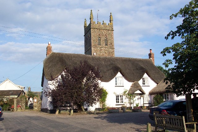
With a population of around 500 residents, Black Torrington has a close-knit and friendly community. The village itself boasts a charming and traditional character, with many historic buildings and thatched cottages lining its streets. The centerpiece of the village is the St. Mary's Church, a notable medieval building that dates back to the 13th century.

The village offers a range of amenities for its residents, including a local primary school, a village hall, and a post office. The surrounding area provides ample opportunities for outdoor activities, with numerous walking and cycling trails, as well as fishing spots along the nearby River Torridge.

Black Torrington is also renowned for its annual fair, known as the Black Torrington Vintage Rally. This popular event attracts visitors from far and wide, showcasing a wide array of vintage vehicles and machinery, as well as traditional crafts and entertainment.

Overall, Black Torrington is a tranquil and picturesque village that offers a peaceful retreat for those seeking a rural lifestyle amidst the beauty of the Devon countryside.

If you have any feedback on the listing, please let us know in the comments section below.

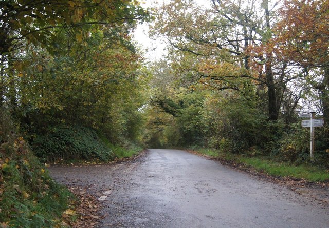
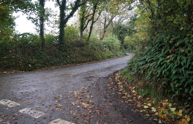
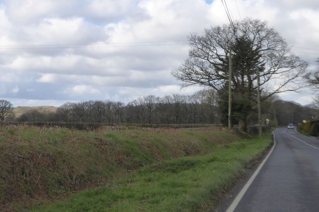
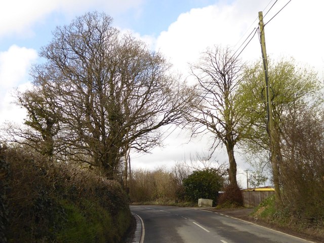
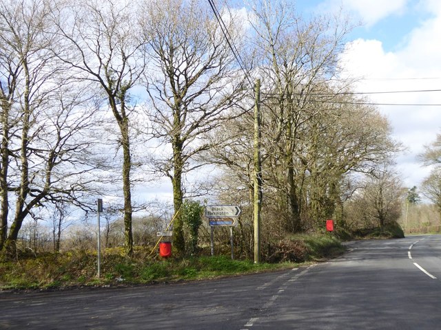
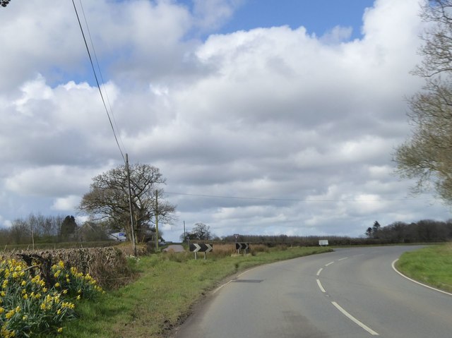
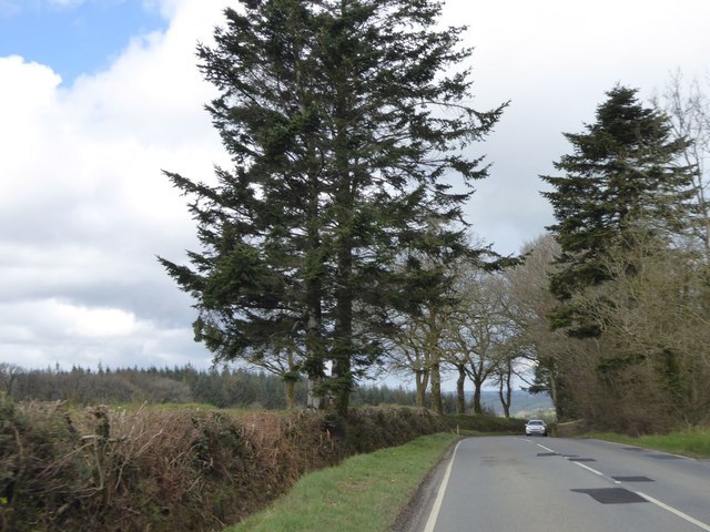
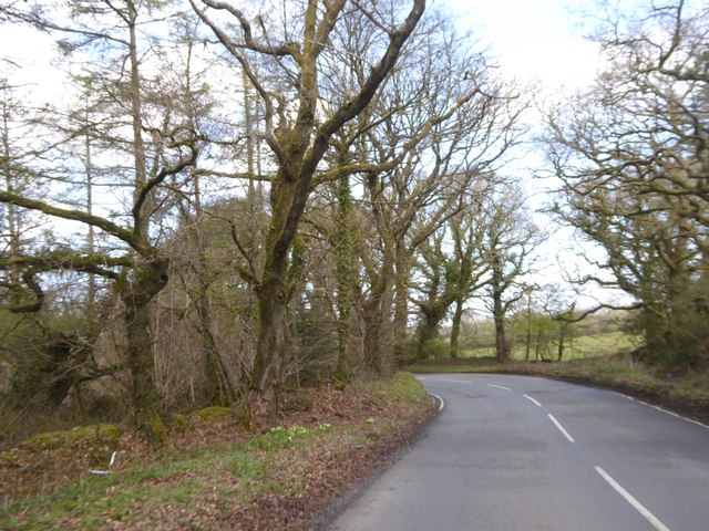
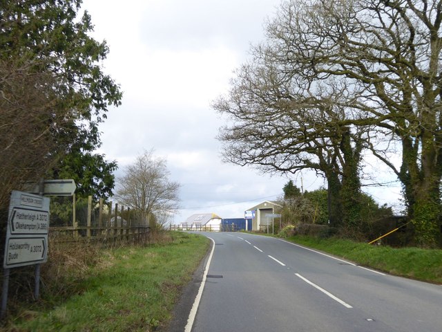
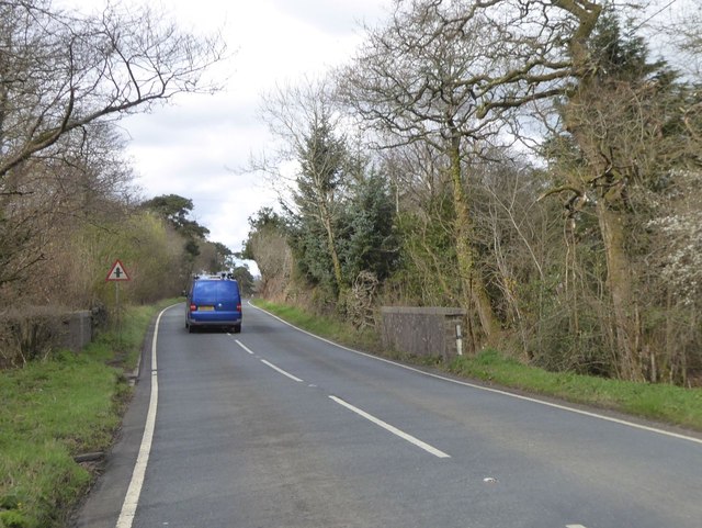
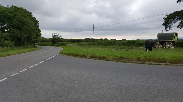
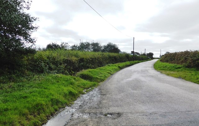
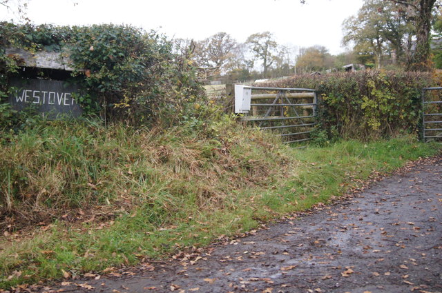
Black Torrington Images

Images are sourced within 2km of 50.827838/-4.179784 or Grid Reference SS4605. Thanks to Geograph Open Source API. All images are credited.

Some restoration work at Down Farm It looks as if the out building, see <a href="https://www.geograph.org.uk/photo/534557">SS4607 : Down Farm</a> with a corrugated roof, is being done up.
Some restoration work at Down Farm
It looks as if the out building, see SS4607 : Down Farm with a corrugated roof, is being done up.
Lane junction by Down Farm
Lane heading towards Upcott
Sharp bend by South Hill
Rural lane south of South Hill
West Road after Gregory's Bridge
Crossing Gregory's Bridge The stream is known as Mussel Brook, it flows from left to right in this view and will shortly join the river Torridge.
Crossing Gregory's Bridge
The stream is known as Mussel Brook, it flows from left to right in this view and will shortly join the river Torridge.
A3072 west of Highampton Approaching the end of the 30mph speed limit zone; on the left deep ditch and bank at the roadside bordering fields which slope south to a small stream
A3072 west of Highampton
Approaching the end of the 30mph speed limit zone; on the left deep ditch and bank at the roadside bordering fields which slope south to a small stream
Trees signalling the end of winter by A3072 Passing Hope House, two trees appear bare, the third is turning green
Trees signalling the end of winter by A3072
Passing Hope House, two trees appear bare, the third is turning green
Two splashes of red at Windmilland Cross On the left, a dog poo bin is at the end of a track to a small campsite at the site of the railway station at Hole; the postbox beyond serves that site and surrounding farms
Two splashes of red at Windmilland Cross
On the left, a dog poo bin is at the end of a track to a small campsite at the site of the railway station at Hole; the postbox beyond serves that site and surrounding farms
Beara Cross A road junction which has been realigned for safety.  Formerly, the road ahead ran in a straight line from the main road, but now joining traffic is forced to slow down or stop
Beara Cross
A road junction which has been realigned for safety. Formerly, the road ahead ran in a straight line from the main road, but now joining traffic is forced to slow down or stop
Evergreen trees by A3072 near Beara Court The gateway to the Beara Court grounds is by the tall tree on the right; presumably these were trees planted to enhance the land of the Court
Evergreen trees by A3072 near Beara Court
The gateway to the Beara Court grounds is by the tall tree on the right; presumably these were trees planted to enhance the land of the Court
A3072 passing Park Plantation Park Plantation is bounded to the north and east by the A3072; on the edge of the woodland to the left is a deep ditch, reminder of the moorland that needed to be drained
A3072 passing Park Plantation
Park Plantation is bounded to the north and east by the A3072; on the edge of the woodland to the left is a deep ditch, reminder of the moorland that needed to be drained
Farm buildings at Hillmoor Cross
Small bridge for A3072 on King's Moor Crossing a stream that bounds the woodland on either side of the road
Small bridge for A3072 on King's Moor
Crossing a stream that bounds the woodland on either side of the road
Torridge : The A3072 At a road junction on the A3072.
Torridge : The A3072
At a road junction on the A3072.
Minor road to Halwill at Beara Cross
Sign for Westover
Sign for Westover
Show me another place!

Black Torrington is located at Grid Ref: SS4605 (Lat: 50.827838, Lng: -4.179784)

Administrative County: Devon

District: Torridge

Police Authority: Devon and Cornwall

What 3 Words

///dabbing.ankle.broth. Near Hatherleigh, Devon

Related Wikis

Black Torrington

Black Torrington is a village and civil parish in Torridge, Devon, England, situated between the towns of Holsworthy and Hatherleigh. It is located on...

Hole railway station

Hole Railway Station was a small halt on the North Devon and Cornwall Junction Light Railway in the U.K. between Torrington and Halwill Junction, serving...

Sheepwash, Devon

Sheepwash is a village and civil parish on the southern border of the local government district of Torridge, Devon, England. The parish, which lies about...

Highampton

Highampton is a parish in Devon spread over approx. 4½ miles. It stands on a ridge with views of Dartmoor and Exmoor. Highampton is about 10 miles from...

Nearby Amenities

Located within 500m of 50.827838,-4.179784
Black Torrington
Is In: Devon, England, UK
Place: village
Lat/Long: 50.8291361/-4.1790816
Post Box
Operator: Royal Mail
Operator Wikidata: Q638098
Post Box Type: lamp
Ref: EX21 35
Royal Cypher: EIIR
Royal Cypher Wikidata: Q33102113
Lat/Long: 50.8311933/-4.1760949
Toilets
Lat/Long: 50.8297643/-4.1807357
Post Office
Shop: convenience
Lat/Long: 50.83021/-4.1811277
Long Cross
Place: locality
Source: OS_OpenData_StreetView
Lat/Long: 50.8256288/-4.1789176
Power: pole
Lat/Long: 50.8285425/-4.1740054
Power: pole
Lat/Long: 50.828263/-4.1749817
Power: pole
Lat/Long: 50.8278564/-4.1761726
Power: pole
Lat/Long: 50.8274125/-4.1774681
Power: pole
Lat/Long: 50.8270973/-4.1788495
Power: pole
Lat/Long: 50.8268822/-4.179461
Power: pole
Lat/Long: 50.8266721/-4.1800296
Power: pole
Lat/Long: 50.8262553/-4.1813466
Power: pole
Lat/Long: 50.8255555/-4.1834736
Power: pole
Lat/Long: 50.8251455/-4.1847557
Turning Loop
Lat/Long: 50.8309697/-4.174692
Direction: SSE
Generator Method: photovoltaic
Generator Output Electricity: yes
Generator Solar Modules: 17
Generator Source: solar
Generator Type: solar_photovoltaic_panel
Location: roof
Power: generator
Lat/Long: 50.829027/-4.1767151
Direction: 150
Generator Method: photovoltaic
Generator Output Electricity: yes
Generator Solar Modules: 16
Generator Source: solar
Generator Type: solar_photovoltaic_panel
Location: roof
Power: generator
Lat/Long: 50.8286594/-4.1786067
Direction: SSE
Generator Method: photovoltaic
Generator Output Electricity: yes
Generator Solar Modules: 14
Generator Source: solar
Generator Type: solar_photovoltaic_panel
Location: roof
Power: generator
Lat/Long: 50.8283028/-4.1779214
Direction: SSE
Generator Method: photovoltaic
Generator Output Electricity: yes
Generator Solar Modules: 14
Generator Source: solar
Generator Type: solar_photovoltaic_panel
Location: roof
Power: generator
Lat/Long: 50.8278894/-4.1790882
Direction: WSW
Generator Method: photovoltaic
Generator Output Electricity: yes
Generator Solar Modules: 16
Generator Source: solar
Generator Type: solar_photovoltaic_panel
Location: roof
Power: generator
Lat/Long: 50.8283163/-4.1789567
Direction: SSE
Generator Method: photovoltaic
Generator Output Electricity: yes
Generator Solar Modules: 10
Generator Source: solar
Generator Type: solar_photovoltaic_panel
Location: roof
Power: generator
Lat/Long: 50.8278318/-4.1793564
Direction: SSE
Generator Method: photovoltaic
Generator Output Electricity: yes
Generator Solar Modules: 10
Generator Source: solar
Generator Type: solar_photovoltaic_panel
Location: roof
Power: generator
Lat/Long: 50.8278165/-4.1794302
Direction: SSE
Generator Method: photovoltaic
Generator Output Electricity: yes
Generator Solar Modules: 10
Generator Source: solar
Generator Type: solar_photovoltaic_panel
Location: roof
Power: generator
Lat/Long: 50.8280537/-4.1795844
Direction: WSW
Generator Method: photovoltaic
Generator Output Electricity: yes
Generator Solar Modules: 9
Generator Source: solar
Generator Type: solar_photovoltaic_panel
Location: roof
Power: generator
Lat/Long: 50.8284917/-4.1800524
Direction: SSE
Generator Method: photovoltaic
Generator Output Electricity: yes
Generator Solar Modules: 16
Generator Source: solar
Generator Type: solar_photovoltaic_panel
Location: roof
Power: generator
Lat/Long: 50.8301638/-4.1810864
Direction: 150
Generator Method: photovoltaic
Generator Output Electricity: yes
Generator Solar Modules: 16
Generator Source: solar
Generator Type: solar_photovoltaic_panel
Location: roof
Power: generator
Lat/Long: 50.8311032/-4.1791365
Direction: ESE
Generator Method: photovoltaic
Generator Output Electricity: yes
Generator Solar Modules: 3
Generator Source: solar
Generator Type: solar_photovoltaic_panel
Location: roof
Power: generator
Lat/Long: 50.8307796/-4.178482
Direction: ESE
Generator Method: photovoltaic
Generator Output Electricity: yes
Generator Solar Modules: 8
Generator Source: solar
Generator Type: solar_photovoltaic_panel
Location: roof
Power: generator
Lat/Long: 50.8307356/-4.1785169
Post Box
Operator: Royal Mail
Operator Wikidata: Q638098
Post Box Type: lamp
Ref: EX21 12D
Royal Cypher: EIIR
Royal Cypher Wikidata: Q33102113
Lat/Long: 50.8301291/-4.18113
Post Box
Operator: Royal Mail
Operator Wikidata: Q638098
Post Box Type: lamp
Ref: EX21 119D
Royal Cypher: EIIR
Royal Cypher Wikidata: Q33102113
Lat/Long: 50.8283155/-4.1799887
Historic: memorial
Memorial: war_memorial
Lat/Long: 50.8282545/-4.1801155
The data included in this document is from www.openstreetmap.org. The data is made available under ODbL.

Have you been to Black Torrington?

Leave your review of Black Torrington below (or comments, questions and feedback).