Black Moor
Settlement in Lancashire Chorley
England
Black Moor
Black Moor, Lancashire is a small village located in the borough of Blackburn with Darwen, in the northwestern part of England. It is situated about 5 miles northeast of the town of Blackburn and approximately 22 miles northwest of the city of Manchester.
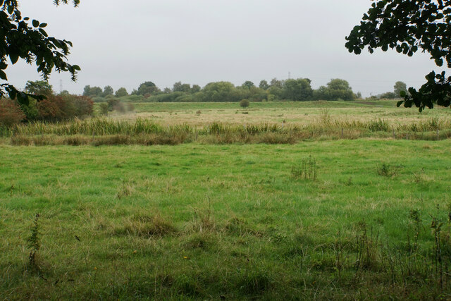
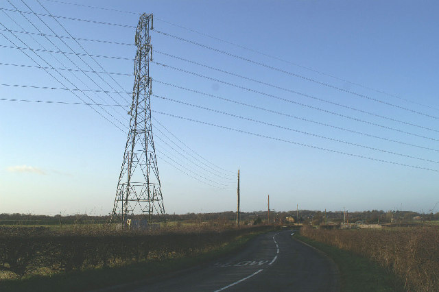
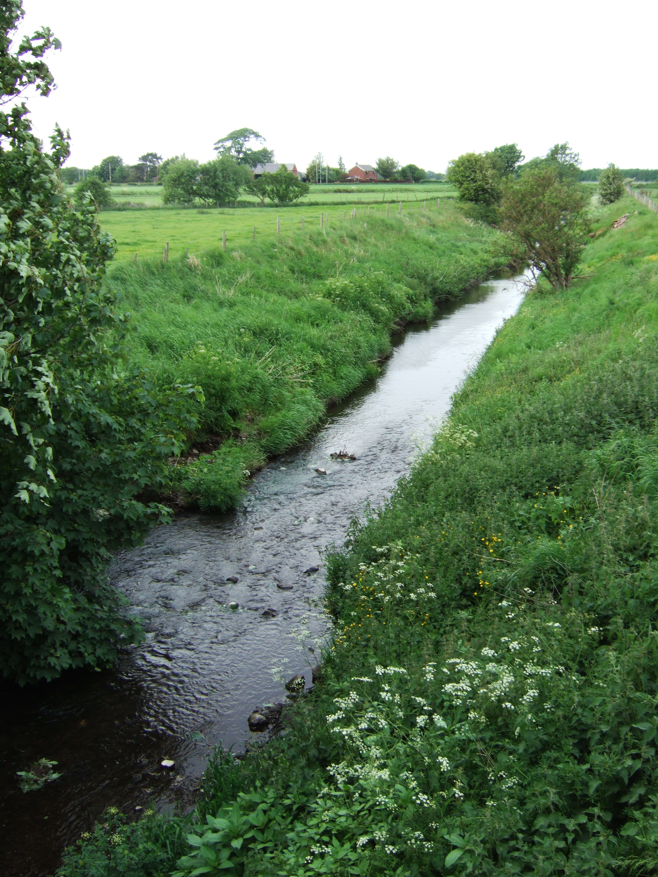
The village is known for its picturesque countryside and charming rural setting. It is surrounded by rolling hills, lush green fields, and scattered farms, providing a serene and peaceful atmosphere. The area is a popular destination for hikers and nature enthusiasts, offering numerous walking trails and scenic routes.
Black Moor has a close-knit community, with a population of around 500 residents. The village is primarily residential, consisting of traditional cottages and houses. There are limited amenities within the village itself, with a small convenience store and a local pub serving as the main gathering places for locals.
The village is well-connected to nearby towns and cities, with regular bus services operating to Blackburn and other surrounding areas. The M65 motorway is also easily accessible, providing convenient links to Manchester and the wider region.
Black Moor is known for its annual village fete, which attracts visitors from the surrounding areas. The event showcases local crafts, food stalls, and entertainment, bringing together the community for a day of celebration and enjoyment.
Overall, Black Moor offers a tranquil and idyllic setting, making it an ideal place for those seeking a peaceful retreat in the beautiful Lancashire countryside.
If you have any feedback on the listing, please let us know in the comments section below.
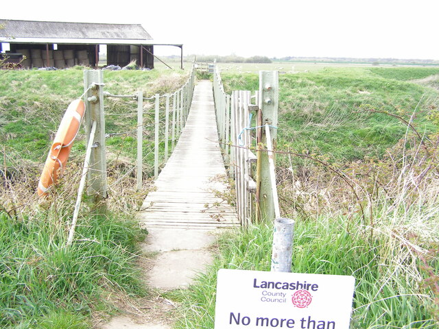
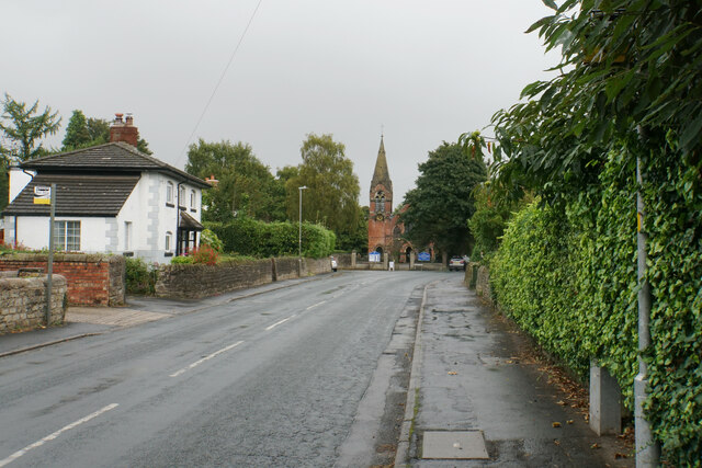
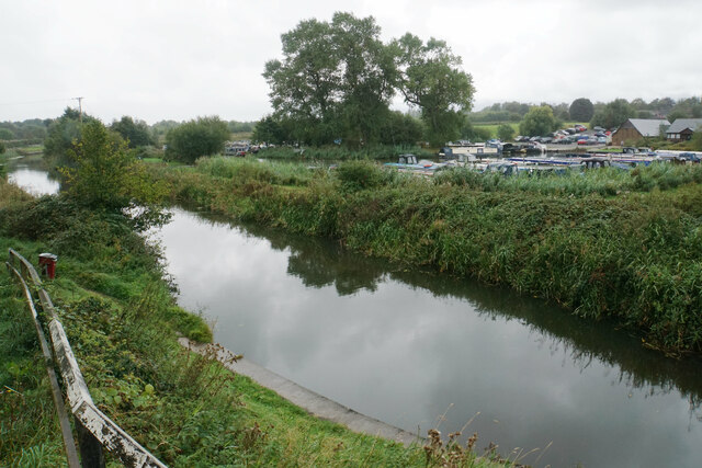
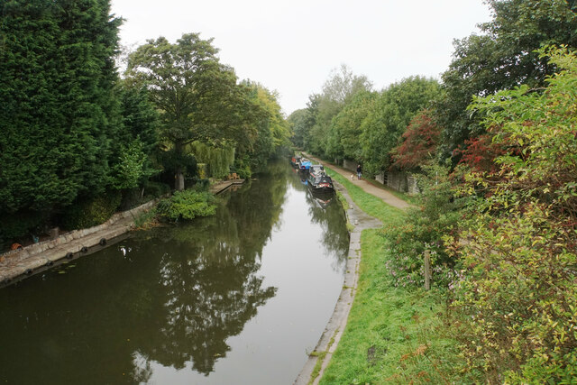
Black Moor Images
Images are sourced within 2km of 53.619845/-2.8027241 or Grid Reference SD4714. Thanks to Geograph Open Source API. All images are credited.


Black Moor is located at Grid Ref: SD4714 (Lat: 53.619845, Lng: -2.8027241)
Administrative County: Lancashire
District: Chorley
Police Authority: Lancashire
What 3 Words
///dispensed.famous.hamsters. Near Rufford, Lancashire
Nearby Locations
Related Wikis
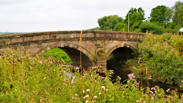
River Tawd
The River Tawd flows through Skelmersdale and Lathom in West Lancashire. Tawd Bridge carried Ormskirk Road, the main arterial road from Wigan to Ormskirk...

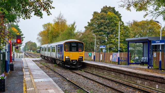
Rufford railway station
Rufford railway station, opened on 2 April 1849, serves the village of Rufford in Lancashire, England. The station is (9½ miles) south west of Preston...

Rufford, Lancashire
Rufford is a village in West Lancashire, England, where the Leeds and Liverpool Canal, Liverpool, Ormskirk and Preston Railway, the A59 and the River Douglas...

St Peter's Church, Mawdesley
St Peter's Church is in High Street in the village of Mawdesley, Lancashire, England. It is an active Anglican parish church in the deanery of Chorley...
Nearby Amenities
Located within 500m of 53.619845,-2.8027241Have you been to Black Moor?
Leave your review of Black Moor below (or comments, questions and feedback).