Red Bull

Settlement in Staffordshire Newcastle-under-Lyme

England

Red Bull

Crossroads at Bloreheath from A53
Crossroads at Bloreheath from A53 Credit: John Firth

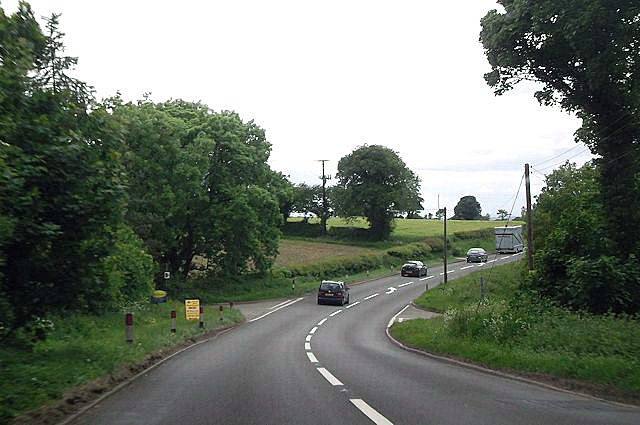
Red Bull is a small village located in Staffordshire, England. It is situated near the border of Derbyshire, in the picturesque countryside of the East Staffordshire district.

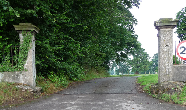
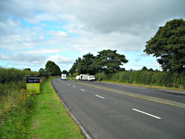
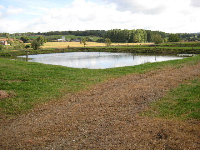
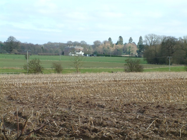
The village is renowned for its tranquil and idyllic setting, surrounded by rolling hills and lush green fields. It is a popular destination for nature lovers, hikers, and those seeking a peaceful retreat away from the hustle and bustle of city life. The stunning landscape offers breathtaking views and an opportunity to explore the nearby Peak District National Park.

Despite its small size, Red Bull has a rich history dating back centuries. The village is home to several historic buildings, including St. Paul's Church, which dates back to the 13th century. This charming church is a notable landmark and attracts visitors interested in its architectural beauty and historical significance.

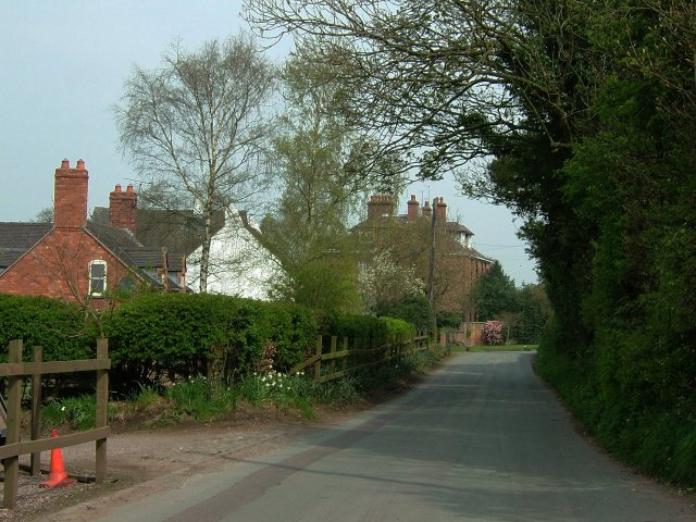
Red Bull is also known for its local community spirit and friendly atmosphere. The village has a close-knit population that takes pride in maintaining its rural charm. It offers a range of amenities, including a village hall, a local pub, and a primary school, catering to the needs of its residents.

Overall, Red Bull, Staffordshire, offers a serene and picturesque setting, steeped in history and surrounded by natural beauty. It provides visitors with an opportunity to escape the hectic urban lifestyle and immerse themselves in the tranquility of the English countryside.

If you have any feedback on the listing, please let us know in the comments section below.
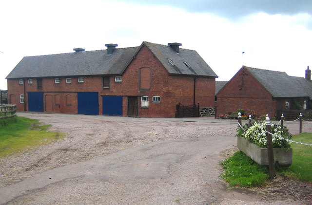
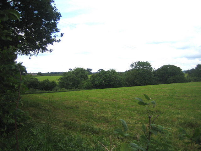
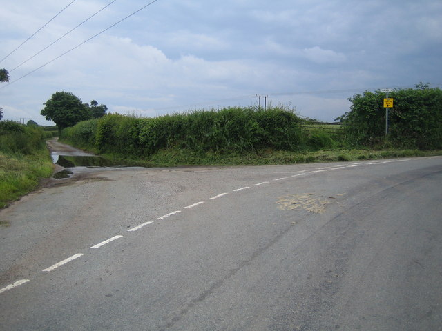
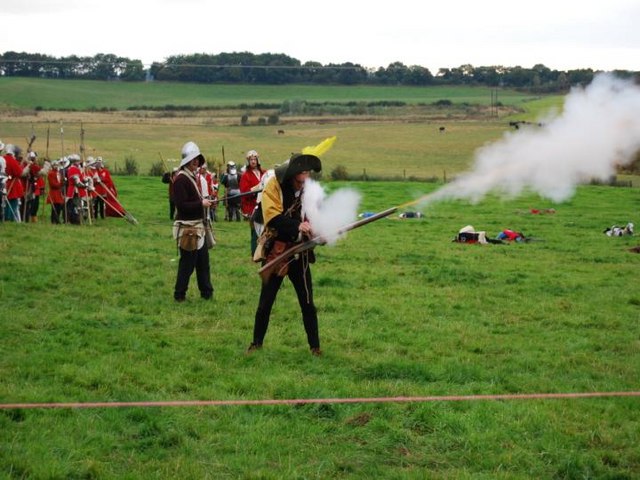
Red Bull Images

Images are sourced within 2km of 52.91602/-2.4411984 or Grid Reference SJ7035. Thanks to Geograph Open Source API. All images are credited.

Crossroads at Bloreheath from A53
Gate piers near Market Drayton At the drive to Tunstall Hall. With niches and square, moulded caps.
Gate piers near Market Drayton
At the drive to Tunstall Hall. With niches and square, moulded caps.
Let's take a break Nice layby with handy snack van by the A53.
Let's take a break
Nice layby with handy snack van by the A53.
Oakley Folly Snug cottage on road to Knighton just outside of Market Drayton.
Oakley Folly
Snug cottage on road to Knighton just outside of Market Drayton.
Sleepy Lane Quiet residential area at Almington, Staffordshire
Sleepy Lane
Quiet residential area at Almington, Staffordshire
Blore Heath Battleground See additional photo at this grid for battle details.
Blore Heath Battleground
See additional photo at this grid for battle details.
Blore Heath Plaque Commemorating the Battle of Blore Heath, part of the Wars of the Roses.
Blore Heath Plaque
Commemorating the Battle of Blore Heath, part of the Wars of the Roses.
Hales: St Mary's Church The church was founded in the mid-19th century by the Reverend Alexander Buchanan, 'squarson' of neighbouring Hales Hall. It was built to the designs of George Gilbert Scott and completed in 1856. The church is constructed of pink sandstone ashlar. The tower, with its prominent stepped angle buttresses, has a hexagonal stair turret attached to its south-east corner, on the right in the photograph. It is a Grade II Listed Building.
Hales: St Mary's Church
The church was founded in the mid-19th century by the Reverend Alexander Buchanan, 'squarson' of neighbouring Hales Hall. It was built to the designs of George Gilbert Scott and completed in 1856. The church is constructed of pink sandstone ashlar. The tower, with its prominent stepped angle buttresses, has a hexagonal stair turret attached to its south-east corner, on the right in the photograph. It is a Grade II Listed Building.
Blore Blore Farm at the northern end of Flash Lane.
Blore
Blore Farm at the northern end of Flash Lane.
Bloreheath This is the site of the War of the Roses battle on 23 September 1459.
Bloreheath
This is the site of the War of the Roses battle on 23 September 1459.
Bloreheath To the left for Blore, to the right for Hales.
Bloreheath
To the left for Blore, to the right for Hales.
Blore Heath Battle re-enactment This photograph was taken at the Battle of Blore Heath re-enactment. The battle was fought on September 23rd 1459, between the Yorkists and Lancastrians.
Blore Heath Battle re-enactment
This photograph was taken at the Battle of Blore Heath re-enactment. The battle was fought on September 23rd 1459, between the Yorkists and Lancastrians.
Battle of Blore Heath Re-enactment of the Battle of Blore Heath 2007.
Battle of Blore Heath
Re-enactment of the Battle of Blore Heath 2007.
Pool near The Brodder Man made pool beside the lane.
Pool near The Brodder
Man made pool beside the lane.
Old Pool Plantation Looking west over crop to Old Pool Plantation
Old Pool Plantation
Looking west over crop to Old Pool Plantation
Stile beside the B5415 Footpath sign and stile looking east from the B5415
Stile beside the B5415
Footpath sign and stile looking east from the B5415
Green lane The footpath follows the old lane between Norton in Hales and Betton.
Green lane
The footpath follows the old lane between Norton in Hales and Betton.
Crossroads on the A53, Bloreheath
Show me another place!

Red Bull is located at Grid Ref: SJ7035 (Lat: 52.91602, Lng: -2.4411984)

Administrative County: Staffordshire

District: Newcastle-under-Lyme

Police Authority: Staffordshire

What 3 Words

///precluded.contracting.lateral. Near Market Drayton, Shropshire

Nearby Locations

Daisy Lake Red Bull

Related Wikis

Oakley, Staffordshire

Oakley is a hamlet in Staffordshire, England. It is within Mucklestone ward of Loggerheads Parish. Oakley Hall, a former seat of the Chetwode family, is...
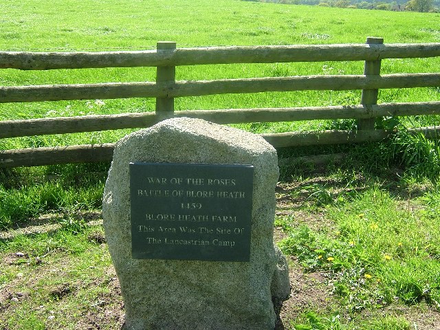
Audley's Cross

Audley's Cross is a cross sited in Blore Heath, Staffordshire to mark the spot on which James Touchet, Lord Audley was killed at the battle of Blore Heath...

Battle of Blore Heath

The Battle of Blore Heath was a battle in the English Wars of the Roses that was fought on 23 September 1459, at Blore Heath, Staffordshire. Blore Heath...

Oakley Hall, Staffordshire

Oakley Hall is an early 18th century 14,929 sf mansion house at Mucklestone, Staffordshire near to the Shropshire town of Market Drayton. It is a Grade...

Blore Heath Rural District

Blore Heath was a rural district in Staffordshire, England from 1894 to 1932. It was created under the Local Government Act 1894 from that part of the...

Betton, Shropshire

Betton is a hamlet in the civil parish of Norton in Hales, in the Shropshire district, in the county of Shropshire, England.

Hales, Staffordshire

Hales is a village in Staffordshire approximately 2 miles east of Market Drayton. Population details as taken at the 2011 census can be found under Loggerheads...

Almington

Almington is a small village in Staffordshire, England. It is about 2 miles (3.2 km) east-northeast of Market Drayton by road, to the northwest of the...

Nearby Amenities

Located within 500m of 52.91602,-2.4411984
Bus Stop
Sandy Lane
Bus: yes
Naptan AtcoCode: 3800C523501
Naptan Bearing: E
Naptan CommonName: Sandy Lane
Naptan Indicator: Adj
Naptan Landmark: Sandy Lane
Naptan Street: Newcastle Road
Naptan Verified: no
Public Transport: platform
Source: naptan_import
Lat/Long: 52.9140541/-2.4420653
Bus Stop
Pinfold Lane
Bus: yes
Naptan AtcoCode: 3800C523502
Naptan Bearing: W
Naptan CommonName: Pinfold Lane
Naptan Indicator: Adj
Naptan Landmark: Pinfold Lane
Naptan Street: Newcastle Road
Naptan Verified: no
Public Transport: platform
Source: naptan_import
Lat/Long: 52.9139095/-2.4422571
Red Bull
Place: hamlet
Lat/Long: 52.9143881/-2.4429149
Power: pole
Lat/Long: 52.9165453/-2.4432469
Power: pole
Lat/Long: 52.9164987/-2.4429651
Power: pole
Lat/Long: 52.9164975/-2.4439998
Power: pole
Lat/Long: 52.9163271/-2.4416235
Power: pole
Lat/Long: 52.9161653/-2.4403124
Power: pole
Lat/Long: 52.9160268/-2.4393143
Power: pole
Lat/Long: 52.9158895/-2.438302
Power: pole
Lat/Long: 52.9157093/-2.4370031
Power: pole
Lat/Long: 52.9155966/-2.4359847
Power: pole
Lat/Long: 52.9154237/-2.4346838
Power: pole
Lat/Long: 52.9174799/-2.4417773
Power: pole
Lat/Long: 52.9159396/-2.444236
Power: pole
Lat/Long: 52.9153793/-2.4449248
Power: pole
Lat/Long: 52.9143303/-2.4462628
Power: pole
Lat/Long: 52.9180623/-2.4408456
Power: pole
Lat/Long: 52.9186496/-2.4398951
Power: pole
Lat/Long: 52.919214/-2.4390019
Power: pole
Lat/Long: 52.9198948/-2.4379156
The data included in this document is from www.openstreetmap.org. The data is made available under ODbL.

Have you been to Red Bull?

Leave your review of Red Bull below (or comments, questions and feedback).