Red Ball
Settlement in Devon Mid Devon
England
Red Ball

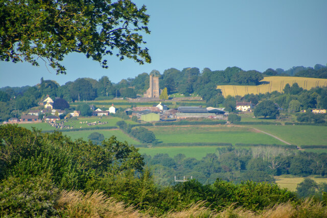
Red Ball is a small village located in the county of Devon, in southwestern England. Situated amidst the picturesque countryside, it lies approximately 12 miles north of the bustling city of Exeter. With a population of around 500 residents, Red Ball exudes a quaint and peaceful charm that attracts both locals and tourists seeking a tranquil getaway.
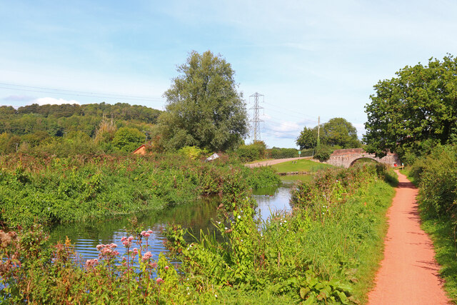
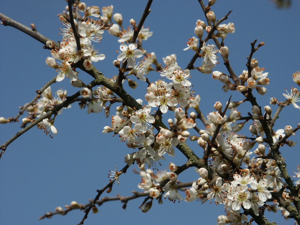
The village is known for its idyllic setting, surrounded by rolling hills, lush green fields, and meandering streams. The landscape offers breathtaking views, especially during the spring when the countryside blooms with vibrant wildflowers. Red Ball is an ideal destination for nature lovers and outdoor enthusiasts, as it provides ample opportunities for hiking, cycling, and exploring the nearby woodlands.
Despite its small size, Red Ball is home to a few essential amenities. The village boasts a charming local pub, The Red Lion, where visitors can enjoy a traditional British meal and experience the warm hospitality of the locals. Additionally, there is a small convenience store that caters to the everyday needs of residents and visitors alike.
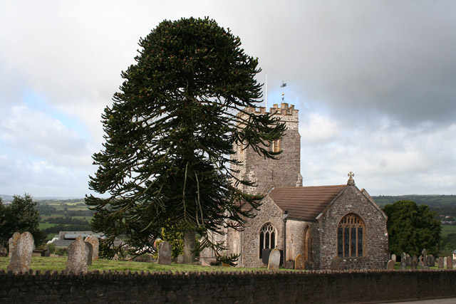
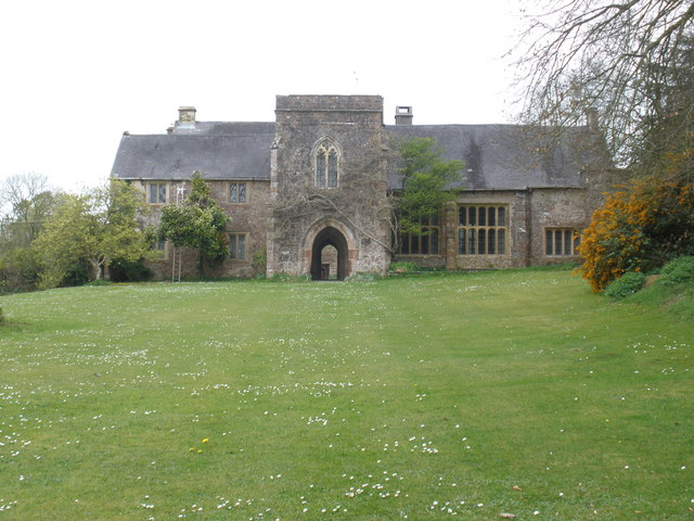
History enthusiasts will find Red Ball intriguing, as the village has a rich heritage dating back centuries. The nearby Red Ball Manor, a Grade II listed building, is a notable historical landmark. It offers a glimpse into the past with its architectural beauty and historical significance.
Overall, Red Ball is a hidden gem in Devon, offering a serene and picturesque escape from the bustling city life. Its natural beauty, coupled with its historical charm and friendly community, make it an appealing destination for those seeking a peaceful retreat.
If you have any feedback on the listing, please let us know in the comments section below.
Red Ball Images
Images are sourced within 2km of 50.946055/-3.298184 or Grid Reference ST0817. Thanks to Geograph Open Source API. All images are credited.


Red Ball is located at Grid Ref: ST0817 (Lat: 50.946055, Lng: -3.298184)
Administrative County: Devon
District: Mid Devon
Police Authority: Devon and Cornwall
What 3 Words
///unafraid.intelligible.craters. Near Uffculme, Devon
Nearby Locations
Related Wikis
Burlescombe
Burlescombe (, bur-LES-kəm) is a village and civil parish in the Mid Devon district of Devon, England. The parish is surrounded, clockwise from the north...
Wellington Bank, Somerset
Wellington Bank is a steep railway embankment and associated climb located on the Bristol to Exeter line, that climbs from just northeast of Wellington...

Culmstock
Culmstock is a village and civil parish in Mid Devon, England, centred 10 miles from Tiverton and 6 NE of Cullompton. It is laid out on both sides of the...

Sampford Arundel
Sampford Arundel is a village and civil parish in Somerset, England. It is situated near Wellington and 10 miles (16.1 km) south west of Taunton. The village...

Canonsleigh Abbey
Canonsleigh Abbey was an Augustinian priory in the parish of Burlescombe, Devon. == History == It was founded in about 1170 by Walter de Claville, lord...
Greenham Barton
Greenham Barton is a 13th-century manor house in the civil parish of Stawley, Somerset, England (at Greenham, west of Wellington in Somerset). Built in...
Black Down and Sampford Commons
Black Down and Sampford Commons (grid reference ST118161) is a 155.2-hectare (384-acre) biological Site of Special Scientific Interest in Devon and Somerset...

Greenham Hall
Greenham Hall is a country house at Wellington in Somerset. It was once the home of Admiral of the Fleet Sir John Kelly. It is a Grade II listed building...
Nearby Amenities
Located within 500m of 50.946055,-3.298184Have you been to Red Ball?
Leave your review of Red Ball below (or comments, questions and feedback).