Raynes Park
Settlement in Surrey
England
Raynes Park
Raynes Park is a suburban area located in the southwest of London, within the borough of Merton, Surrey, England. It is situated between Wimbledon and New Malden, and is approximately 8.7 miles southwest of central London. The area is primarily residential, with a mix of Victorian and Edwardian houses, as well as more modern developments.
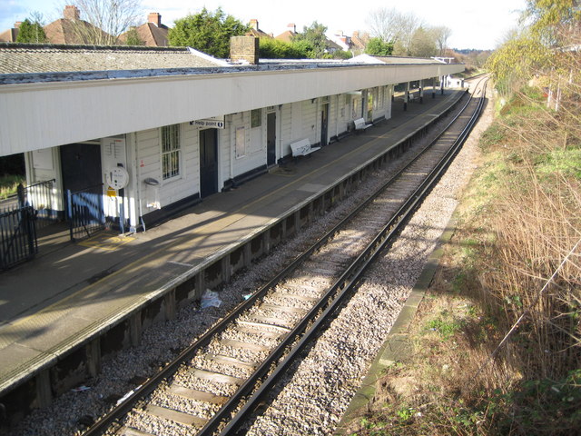
Raynes Park benefits from excellent transport links, making it a popular choice for commuters. The Raynes Park railway station provides regular train services to central London, with journey times to Waterloo Station taking around 20 minutes. Additionally, the area is well-served by buses, connecting it to neighboring towns and villages.
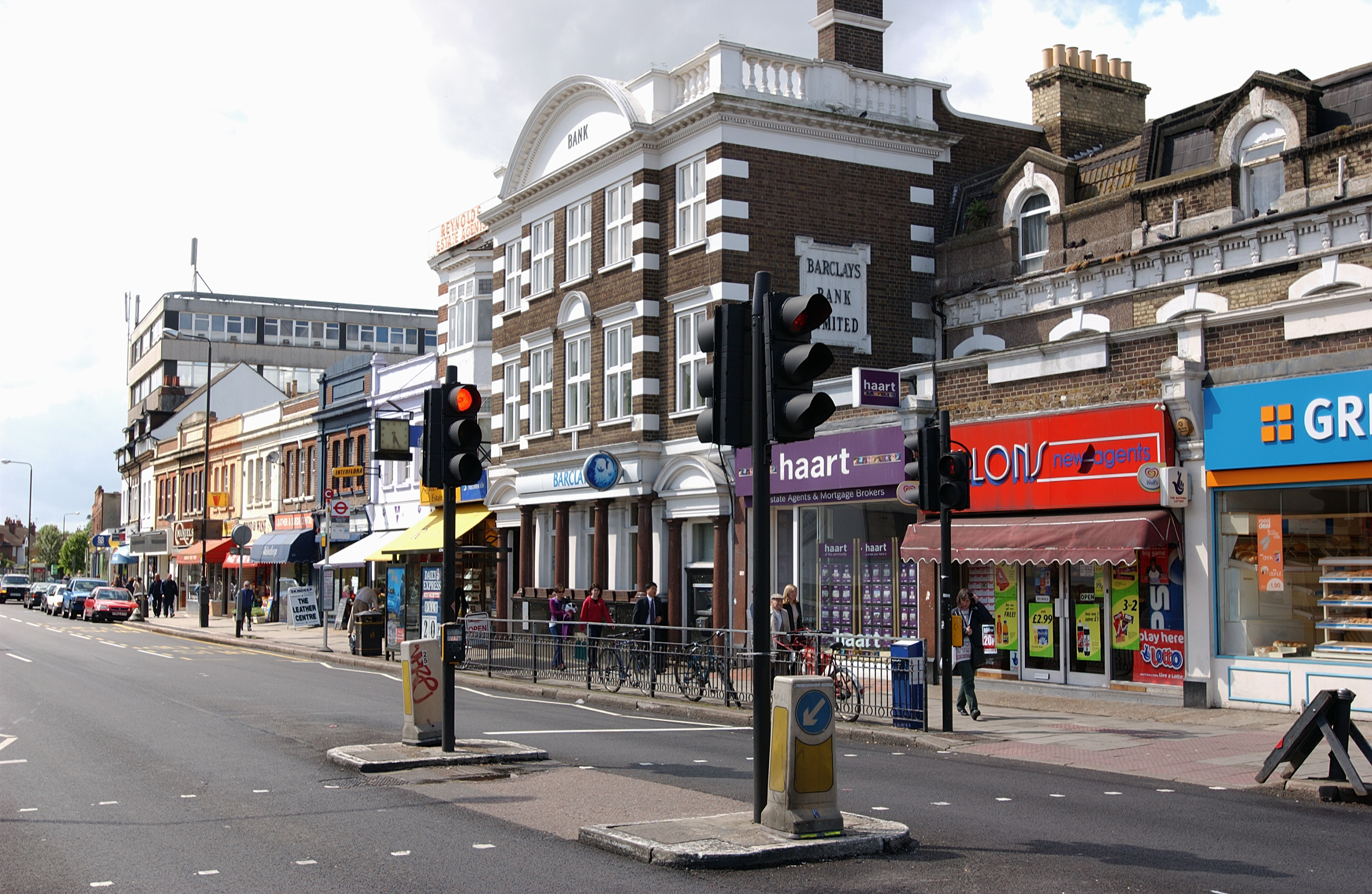
The town center of Raynes Park offers a range of amenities, including shops, supermarkets, restaurants, and cafes. There is a strong sense of community, with local events and festivals organized throughout the year. For recreational activities, there are several parks and green spaces in the vicinity, such as Cottenham Park, Cannon Hill Common, and Holland Gardens, providing opportunities for outdoor leisure and relaxation.
Raynes Park is also known for its proximity to Wimbledon, the famous tennis tournament held annually. The All England Lawn Tennis Club and Wimbledon Village are just a short distance away, adding to the area's appeal.
Overall, Raynes Park offers a peaceful and family-friendly environment, with good transport links, amenities, and green spaces. Its proximity to central London and Wimbledon makes it an attractive place to live for those seeking a balance between urban convenience and suburban tranquility.
If you have any feedback on the listing, please let us know in the comments section below.
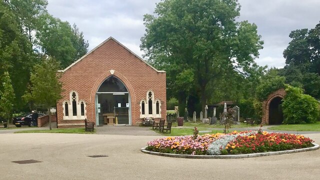
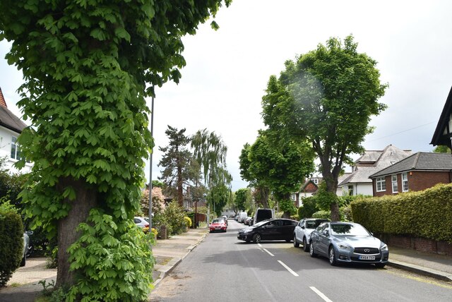
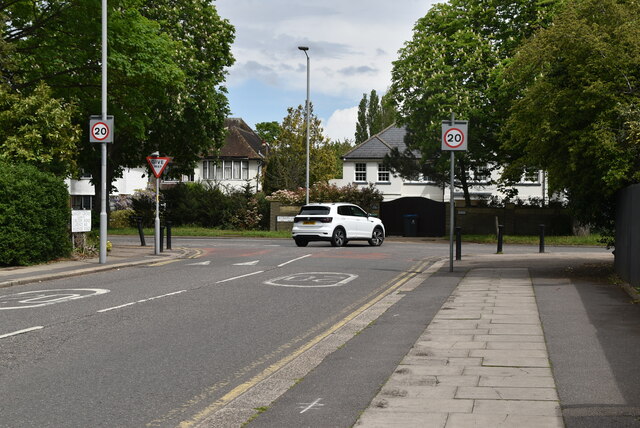
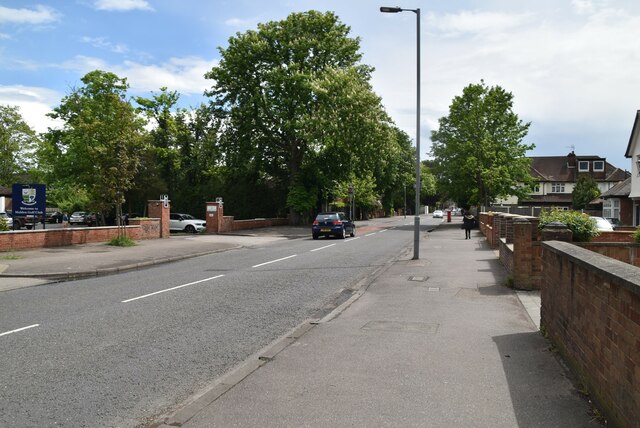
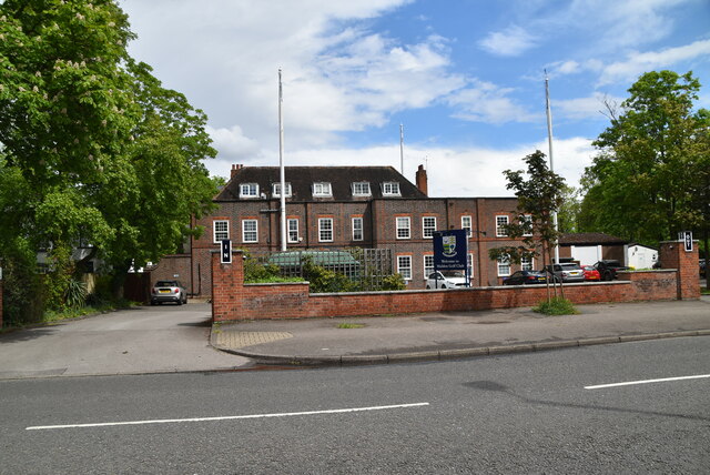
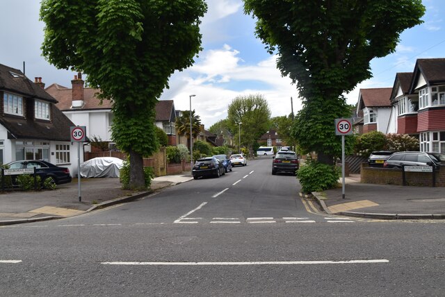
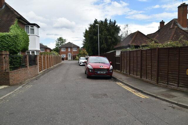
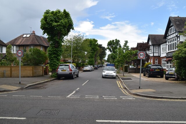
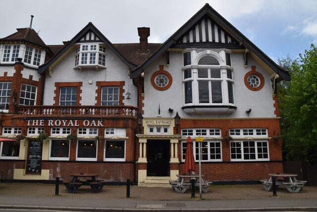
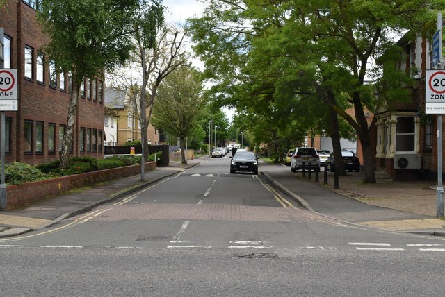
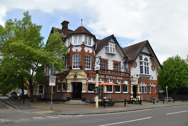
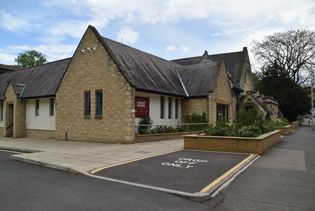
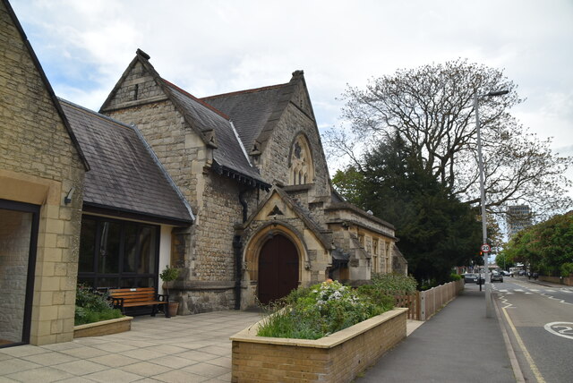
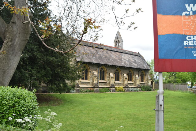
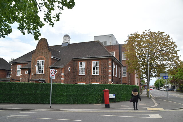
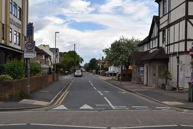
Raynes Park Images
Images are sourced within 2km of 51.403956/-0.233784 or Grid Reference TQ2268. Thanks to Geograph Open Source API. All images are credited.


Raynes Park is located at Grid Ref: TQ2268 (Lat: 51.403956, Lng: -0.233784)
Unitary Authority: Merton
Police Authority: Metropolitan
What 3 Words
///chain.invest.likes. Near New Malden, London
Nearby Locations
Related Wikis
Raynes Park
Raynes Park is a residential suburb, railway station and local centre near Wimbledon, London, and is within the London Borough of Merton. It is situated...
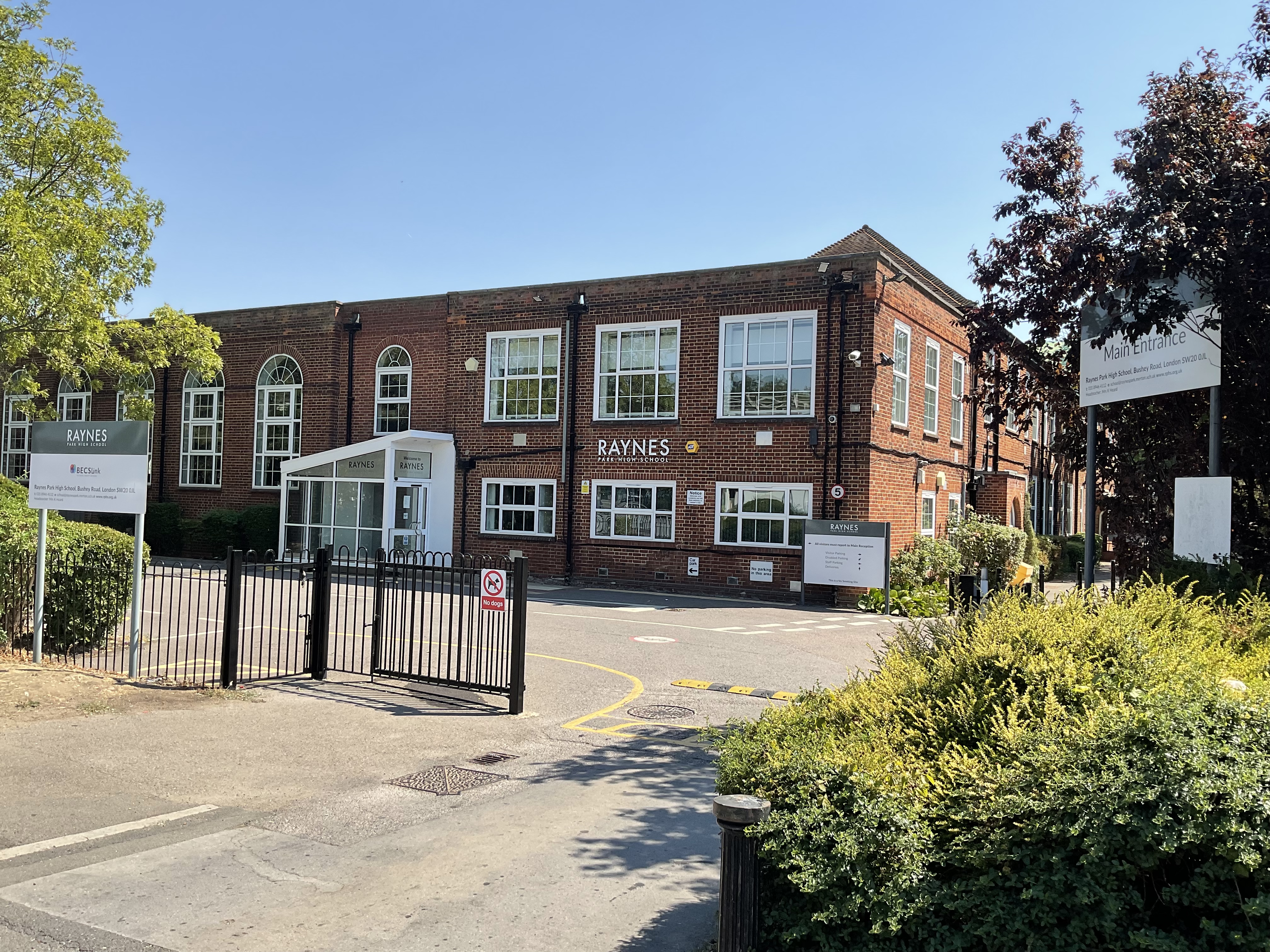
Raynes Park High School
Raynes Park High School is a co-educational comprehensive school which educates students aged 11 to 19. It is in Raynes Park, England, coming under the...

Raynes Park Vale F.C.
Raynes Park Vale Football Club is a semi-professional football club based in Raynes Park in the London Borough of Merton, England. The club is affiliated...
Tooting & Mitcham Wanderers F.C.
Tooting & Mitcham Wanderers Football Club was a football club based in London, England. They played at Raynes Park Vale's Malden Vale Sports Ground....
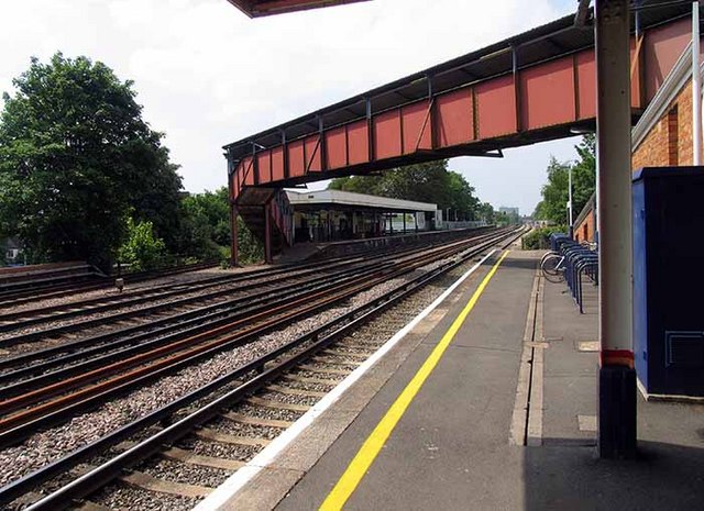
Raynes Park railway station
Raynes Park railway station serves the district of Raynes Park in the London Borough of Merton. It is 8 miles 51 chains (13.9 km) south-west of London...
Beverley Park, Kingston upon Thames
Beverley Park is a public park situated in the New Malden area of the Royal Borough of Kingston upon Thames in south-western London, England. It is the...
Bushey Mead
Bushey Mead is a small district of the London Borough of Merton, forming a small 'ladder' of terraced streets between Wimbledon Chase railway station and...
Motspur Park railway station
Motspur Park railway station is a suburban station in the London Borough of Merton in south London. The station is served by South Western Railway, and...
Nearby Amenities
Located within 500m of 51.403956,-0.233784Have you been to Raynes Park?
Leave your review of Raynes Park below (or comments, questions and feedback).