Black Heddon

Settlement in Northumberland

England

Black Heddon

B6309, West Belsay
B6309, West Belsay Credit: Richard Webb

Black Heddon is a small village located in the county of Northumberland, in the northeast of England. Situated approximately 14 miles northwest of the city of Newcastle upon Tyne, Black Heddon is nestled within the picturesque Tyne Valley.

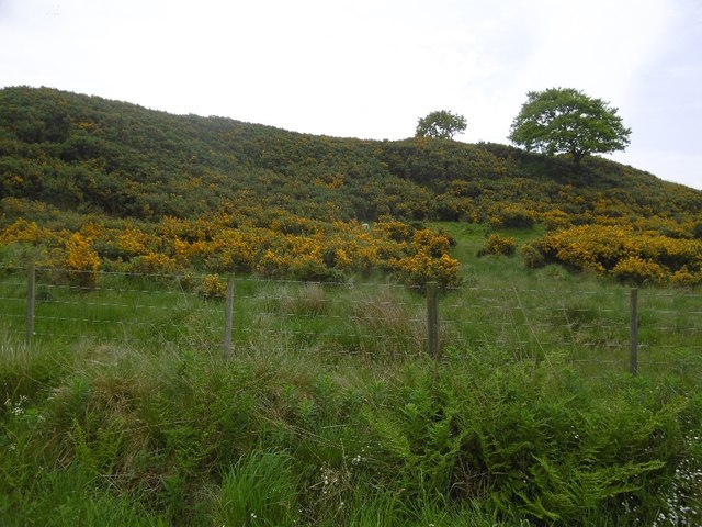
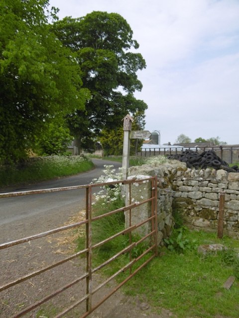
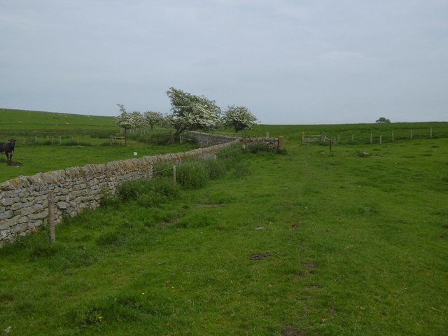
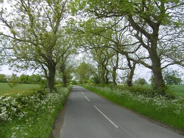
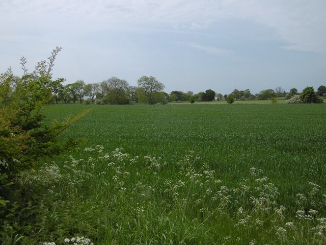
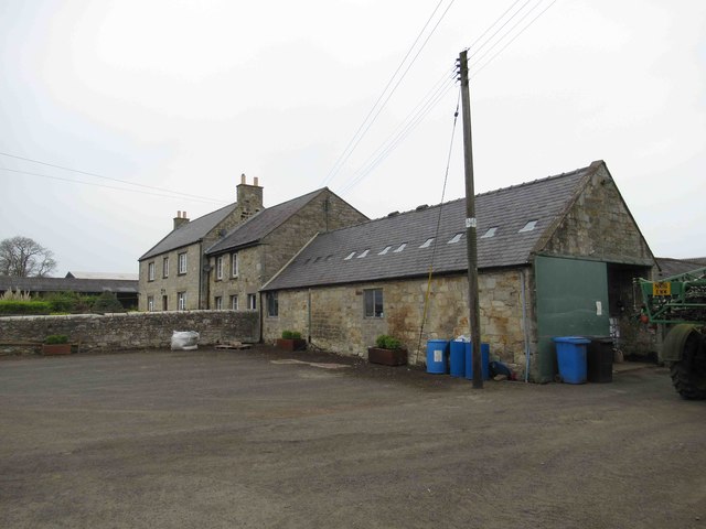
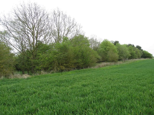
The village is known for its idyllic rural setting, surrounded by rolling hills and verdant farmland. It is characterized by a charming mix of traditional stone-built houses and farmsteads, with a population of around 200 residents.

Black Heddon boasts a rich history, with evidence of human settlement dating back to the Roman era. Nearby Hadrian's Wall, a UNESCO World Heritage Site, stands as a testament to the region's historical significance. The village itself has a quaint and peaceful atmosphere, with a strong sense of community.

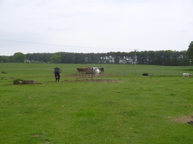
While primarily an agricultural area, Black Heddon benefits from its proximity to larger towns and cities. Residents have easy access to a range of amenities, including schools, shops, and healthcare facilities, in nearby towns such as Ponteland and Hexham.

The village is also a popular destination for outdoor enthusiasts, as it offers numerous opportunities for walking, cycling, and exploring the surrounding countryside. The nearby Northumberland National Park and the River Tyne provide stunning natural landscapes for visitors to enjoy.

In summary, Black Heddon is a tranquil and picturesque village in Northumberland, offering a peaceful rural lifestyle and a strong sense of community, all within easy reach of larger towns and beautiful natural surroundings.

If you have any feedback on the listing, please let us know in the comments section below.

Black Heddon Images

Images are sourced within 2km of 55.078953/-1.876225 or Grid Reference NZ0876. Thanks to Geograph Open Source API. All images are credited.

B6309, West Belsay
B6309, West Belsay
Edge of Langhoes Plantation A few mature trees on the edge of the wood which has presumably been recently clear felled.
Edge of Langhoes Plantation
A few mature trees on the edge of the wood which has presumably been recently clear felled.
Road to West Bitchfield Under the whin covered Slate Hill.
Road to West Bitchfield
Under the whin covered Slate Hill.
Slate Hill The steep north facing slope is covered in whins, otherwise the hill is covered in pasture.
Slate Hill
The steep north facing slope is covered in whins, otherwise the hill is covered in pasture.
B6309, Black Heddon
B6309, Black Heddon
B6309, Black Heddon One of those occasions when a road goes through a farmyard.
B6309, Black Heddon
One of those occasions when a road goes through a farmyard.
Path sign, Black Heddon With a bird box.
Path sign, Black Heddon
With a bird box.
Cattle, Black Heddon
Field and dyke, Black Heddon On sandstones, a ready source of dyking stone.
Field and dyke, Black Heddon
On sandstones, a ready source of dyking stone.
B6309, Black Heddon Tree lined section of the Stamfordham to Belsay road.
B6309, Black Heddon
Tree lined section of the Stamfordham to Belsay road.
Arable land near Black Heddon Mixed agriculture with much pasture nearby. The underlying rock here is limestone which may be increasing fertility.
Arable land near Black Heddon
Mixed agriculture with much pasture nearby. The underlying rock here is limestone which may be increasing fertility.
Bygate Hill Standing Stone A standing stone of Bronze Age date, situated on the highest part of Bygate Hill now within a forest plantation. The stone, which is much weathered in appearance is 1.1 metre high and 0.6 metres by 0.65 metres wide. It is fashioned from a large block of stone which is square in profile and leans slightly to the south east. If it wasn't for the dense forest plantation in which the stone is now embedded, the hilltop location would command extensive views in all directions, including north to the Simonside Hills.
Pastscape: <span class="nowrap"><a title="http://www.pastscape.org.uk/hob.aspx?hob_id=20718" rel="nofollow ugc noopener" href="http://www.pastscape.org.uk/hob.aspx?hob_id=20718">Link</a><img style="margin-left:2px;" alt="External link" title="External link - shift click to open in new window" src="https://s1.geograph.org.uk/img/external.png" width="10" height="10"/></span> <span class="nowrap"><a title="https://web.archive.org/web/20170223114618/http://www.pastscape.org.uk/hob.aspx?hob_id=20718" rel="nofollow ugc noopener" href="https://web.archive.org/web/20170223114618/http://www.pastscape.org.uk/hob.aspx?hob_id=20718">Archive Link</a><img style="margin-left:2px;" alt="External link" title="External link - shift click to open in new window" src="https://s1.geograph.org.uk/img/external.png" width="10" height="10"/></span>
The standing stone is a Scheduled Ancient Monument <span class="nowrap"><a title="https://historicengland.org.uk/listing/the-list/list-entry/1015843" rel="nofollow ugc noopener" href="https://historicengland.org.uk/listing/the-list/list-entry/1015843">Link</a><img style="margin-left:2px;" alt="External link" title="External link - shift click to open in new window" src="https://s1.geograph.org.uk/img/external.png" width="10" height="10"/></span>
Antiquarian reports from 1827 suggested that a double stone circle once stood on Heddon Hill (now Bygate Hill). The inner circle was described as being 60 yards in diameter with an outer concentric circle 15 to 20 yards from it. At the centre was a standing stone over 3m high. The stone circles and central stone were said to have been broken up for gateposts and walls. However, later descriptions suggest that the 'stone circle' was in fact the remains of a prehistoric settlement, including possible hut circles. Traces of an earth bank were later reported close to the highest point of the hill, but detailed investigation couldn't be carried out as it was covered by a dense fir plantation <span class="nowrap"><a title="http://ads.ahds.ac.uk/catalogue/collections/nsmr03abstracts/10236.html" rel="nofollow ugc noopener" href="http://ads.ahds.ac.uk/catalogue/collections/nsmr03abstracts/10236.html">Link</a><img style="margin-left:2px;" alt="External link" title="External link - shift click to open in new window" src="https://s1.geograph.org.uk/img/external.png" width="10" height="10"/></span>
Megalithic Portal: <span class="nowrap"><a title="http://www.megalithic.co.uk/article.php?sid=7073" rel="nofollow ugc noopener" href="http://www.megalithic.co.uk/article.php?sid=7073">Link</a><img style="margin-left:2px;" alt="External link" title="External link - shift click to open in new window" src="https://s1.geograph.org.uk/img/external.png" width="10" height="10"/></span>
Modern Antiquarian: <span class="nowrap"><a title="http://www.themodernantiquarian.com/site/3342/bygate_hill.html" rel="nofollow ugc noopener" href="http://www.themodernantiquarian.com/site/3342/bygate_hill.html">Link</a><img style="margin-left:2px;" alt="External link" title="External link - shift click to open in new window" src="https://s1.geograph.org.uk/img/external.png" width="10" height="10"/></span>
Bygate Hill Standing Stone
A standing stone of Bronze Age date, situated on the highest part of Bygate Hill now within a forest plantation. The stone, which is much weathered in appearance is 1.1 metre high and 0.6 metres by 0.65 metres wide. It is fashioned from a large block of stone which is square in profile and leans slightly to the south east. If it wasn't for the dense forest plantation in which the stone is now embedded, the hilltop location would command extensive views in all directions, including north to the Simonside Hills. Pastscape: LinkExternal link Archive LinkExternal link The standing stone is a Scheduled Ancient Monument LinkExternal link Antiquarian reports from 1827 suggested that a double stone circle once stood on Heddon Hill (now Bygate Hill). The inner circle was described as being 60 yards in diameter with an outer concentric circle 15 to 20 yards from it. At the centre was a standing stone over 3m high. The stone circles and central stone were said to have been broken up for gateposts and walls. However, later descriptions suggest that the 'stone circle' was in fact the remains of a prehistoric settlement, including possible hut circles. Traces of an earth bank were later reported close to the highest point of the hill, but detailed investigation couldn't be carried out as it was covered by a dense fir plantation LinkExternal link Megalithic Portal: LinkExternal link Modern Antiquarian: LinkExternal link
Bygate Hill Standing Stone See description here <a href="https://www.geograph.org.uk/photo/5055030">NZ0677 : Bygate Hill Standing Stone</a>
Small pebbles and monetary offerings have been left within the grooves on the top of the stone and there are a few wind-chimes and celtic ornaments hanging from the surrounding trees.
Bygate Hill Standing Stone
See description here NZ0677 : Bygate Hill Standing Stone Small pebbles and monetary offerings have been left within the grooves on the top of the stone and there are a few wind-chimes and celtic ornaments hanging from the surrounding trees.
West Newham Farm More like a village green.
West Newham Farm
More like a village green.
West Newham Farmhouse
Footpath through Linseed Rape  Field Having walked through one the week before and our jackets were flecked with yellow we decided to follow the farm road
Footpath through Linseed Rape Field
Having walked through one the week before and our jackets were flecked with yellow we decided to follow the farm road
Copse on Farmland There's a pond hidden away in the copse but the vegetation was too tangled so we didn't venture in.
Copse on Farmland
There's a pond hidden away in the copse but the vegetation was too tangled so we didn't venture in.
Show me another place!

Black Heddon is located at Grid Ref: NZ0876 (Lat: 55.078953, Lng: -1.876225)

Unitary Authority: Northumberland

Police Authority: Northumbria

What 3 Words

///strut.lads.calculate. Near Meldon, Northumberland

Nearby Locations

Black Heddon

Related Wikis

Black Heddon

Black Heddon is a village and former civil parish, now in the parish of Belsay, in the county of Northumberland, England. It is situated to the north-west...

Bitchfield Tower

Bitchfield Tower or West Bitchfield Tower is a 15th-century medieval pele tower near Belsay, Northumberland, England. It is a Grade I listed building.The...

Belsay Hall

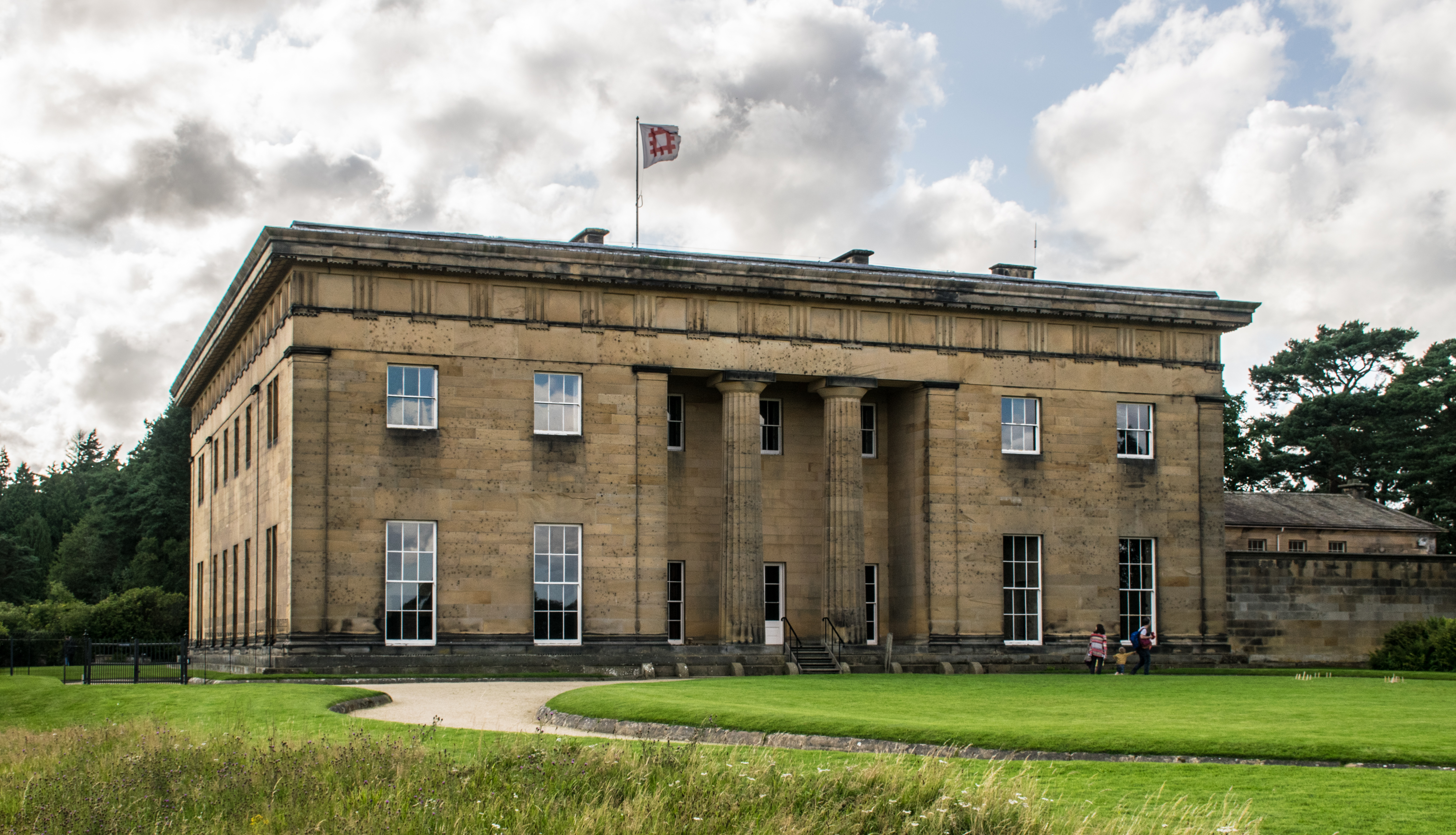
Belsay Hall is a Regency style country house located at Belsay, Northumberland. It is regarded as the first British country house to be built entirely...

Belsay Castle

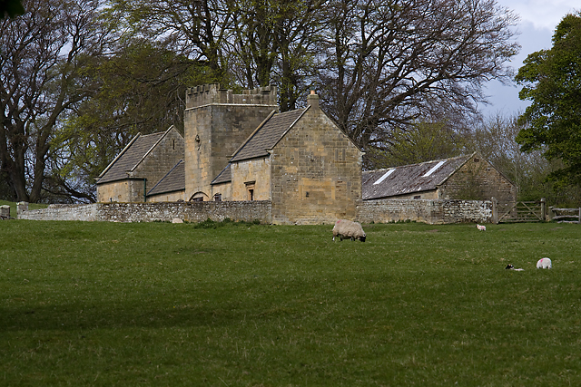
Belsay Castle is a 14th-century medieval castle situated at Belsay, Northumberland, England. It is a Scheduled Monument and a Grade I listed building.The...

Nearby Amenities

Located within 500m of 55.078953,-1.876225
Ele: 177
Man Made: survey_point
Lat/Long: 55.0830723/-1.8741587
Generator Method: wind_turbine
Generator Output Electricity: yes
Generator Source: wind
Generator Type: horizontal_axis
Power: generator
Lat/Long: 55.0826601/-1.8758641
The data included in this document is from www.openstreetmap.org. The data is made available under ODbL.

Have you been to Black Heddon?

Leave your review of Black Heddon below (or comments, questions and feedback).