Ranmore Common
Settlement in Surrey Mole Valley
England
Ranmore Common

Ranmore Common is a picturesque area located in Surrey, England. Situated on the North Downs, it covers an area of approximately 400 acres and is part of the Surrey Hills Area of Outstanding Natural Beauty. The common is easily accessible, lying just to the north-west of the village of Dorking.
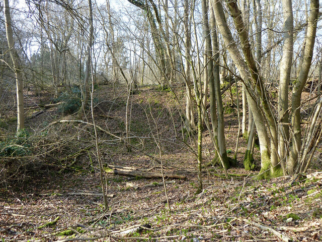
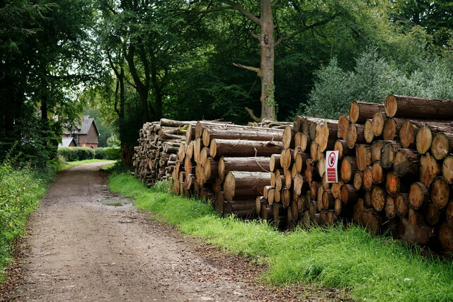
Known for its stunning natural beauty, Ranmore Common is predominantly made up of woodland, heathland, and open grassland. The diverse landscape provides a habitat for a wide range of flora and fauna, making it a popular spot for nature enthusiasts and walkers alike.
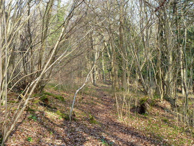
Visitors to Ranmore Common can enjoy a variety of trails and footpaths, allowing them to explore the area and take in the breathtaking views of the surrounding countryside. The common is also intersected by the North Downs Way, a long-distance footpath that stretches for 153 miles from Farnham to Dover.
The common's history can be traced back to the medieval period, and evidence of its past can still be seen today. Ruins of an old cottage and a disused chalk quarry can be found within its boundaries, adding to its charm and historical significance.
Ranmore Common offers an escape from the hustle and bustle of city life, providing a peaceful and tranquil setting for visitors to enjoy the great outdoors. With its rich natural heritage and stunning vistas, it is no wonder that Ranmore Common is a beloved destination for locals and tourists alike.
If you have any feedback on the listing, please let us know in the comments section below.
Ranmore Common Images
Images are sourced within 2km of 51.240949/-0.359664 or Grid Reference TQ1450. Thanks to Geograph Open Source API. All images are credited.


Ranmore Common is located at Grid Ref: TQ1450 (Lat: 51.240949, Lng: -0.359664)
Administrative County: Surrey
District: Mole Valley
Police Authority: Surrey
What 3 Words
///these.clues.poppy. Near Westcott, Surrey
Nearby Locations
Related Wikis

Ranmore Common SSSI
Ranmore Common SSSI is a 224.3-hectare (554-acre) biological Site of Special Scientific Interest in Ranmore Common, north-west of Dorking in Surrey.This...
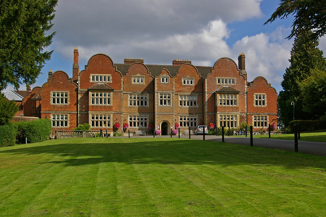
Milton Court
Milton Court, at the far west of the town of Dorking, is a 17th-century country house in Surrey. The court was expanded and substantially rebuilt by the...
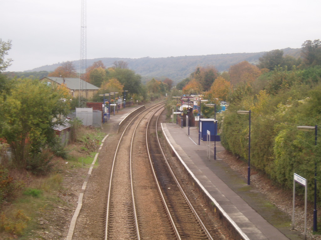
Dorking West railway station
Dorking West railway station is in Dorking, Surrey, England. It is 30 miles 42 chains (30.53 miles, 49.13 km) from London Charing Cross, via Redhill, and...

Westcott, Surrey
Westcott is a village in central Surrey, England, about 1.5 miles (2.5 km) west of the centre of Dorking. It is in the Mole Valley district and the Surrey...
Ranmore Common
Ranmore Common, also known as Ranmore Commons, is an area of wooded former common land on the North Downs, immediately northwest of Dorking in the English...

Dorking Wanderers F.C.
Dorking Wanderers Football Club is a semi-professional football club based in Dorking, Surrey, England. Affiliated to the Surrey County Football Association...
The Priory School, Dorking
The Priory (C of E Aided) School, Dorking is a voluntary-aided Church of England school for pupils aged 11–16, in Dorking, Surrey. The school opened 1996...
Vale of Holmesdale
Holmesdale, also known as the Vale of Holmesdale, is a valley in South-East England that falls between the hill ranges of the North Downs and the Greensand...
Nearby Amenities
Located within 500m of 51.240949,-0.359664Have you been to Ranmore Common?
Leave your review of Ranmore Common below (or comments, questions and feedback).