Blackbridge
Settlement in Anglesey
Wales
Blackbridge

The requested URL returned error: 429 Too Many Requests
If you have any feedback on the listing, please let us know in the comments section below.
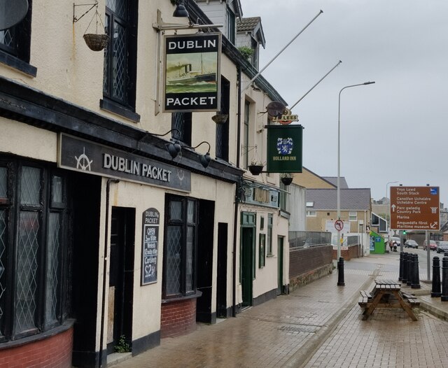
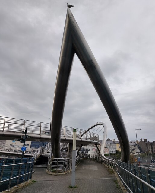
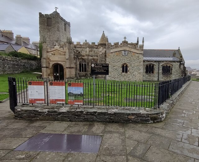
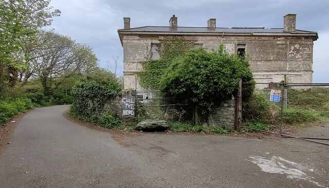
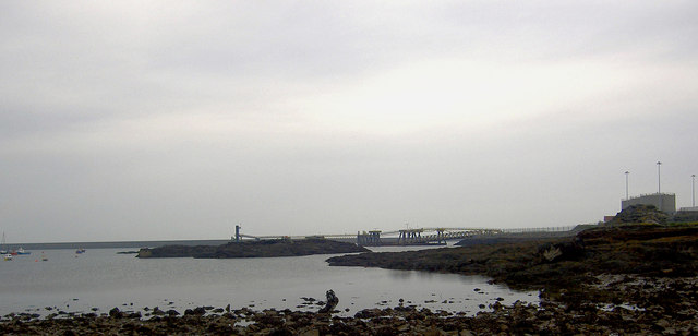
Blackbridge Images
Images are sourced within 2km of 53.307808/-4.62912 or Grid Reference SH2482. Thanks to Geograph Open Source API. All images are credited.


Blackbridge is located at Grid Ref: SH2482 (Lat: 53.307808, Lng: -4.62912)
Unitary Authority: Isle of Anglesey
Police Authority: North Wales
Also known as: Black Bridge
What 3 Words
///brain.foot.scatter. Near Holyhead, Isle of Anglesey
Nearby Locations
Related Wikis

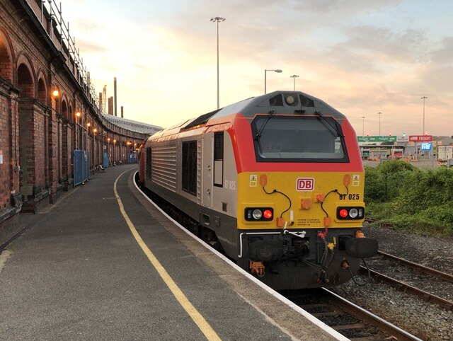
Holyhead railway station
Holyhead railway station (Welsh: Gorsaf reilffordd Caergybi) serves the Welsh town of Holyhead (Welsh: Caergybi) on Holy Island, Anglesey. The station...

Stanley Sailors' Hospital
Stanley Sailors' Hospital (Welsh: Ysbyty Morwyr Stanley) was a health facility in Holyhead, Anglesey, Wales. == History == The hospital was financed by...
Port of Holyhead
The Port of Holyhead (Welsh: Porthladd Caergybi) is a commercial and ferry port in Anglesey, United Kingdom, handling more than 2 million passengers each...

The Celtic Gateway
The Celtic Gateway (Welsh: Porth Celtaidd) is a stainless steel pedestrian and cycle bridge located in Anglesey, Wales. Opened on 19 October 2006 by Andrew...
Related Videos
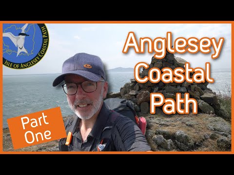
HIKING the Anglesey Costal Path - Part 1 Holyhead, Church Bay, Carmel Head, Port Amtwch, Point Lynas
Walking the Isle of Anglesey Costal Path, 130 miles circular route with five nights of wild camping. This is part one of three videos ...

HIKING the Anglesey Costal Path - Part 3 Newborough Forest to Holyhead via Rhosneigr and South Stack
We are hiking and wild camping the 130 miles of the Anglesey Costal Path. Leaving Newborough Forest we visit Newborough ...
Have you ever been to Holyhead? | Travel to Wales | December 2020
A Lovely Places to visit in North Wales is Holyhead on the Isle of Anglesey. I went to a ruin of an old brick factory, for a walk at the ...

The official start! The isle of Anglesey Coastal Path #1
Day 1 2nd August #AngleseyCoastalPath #ChallengeWithCicerone #ToughGirlChallenges It's always fun and exciting to start ...
Nearby Amenities
Located within 500m of 53.307808,-4.62912Have you been to Blackbridge?
Leave your review of Blackbridge below (or comments, questions and feedback).