Blaby
Settlement in Leicestershire Blaby
England
Blaby
Blaby is a small town located in the county of Leicestershire, in the East Midlands region of England. Situated approximately five miles south of the city of Leicester, it falls within the district of Blaby. The town has a population of around 6,000 residents.
Historically, Blaby has been a significant settlement since ancient times. Evidence suggests that it was inhabited as early as the Iron Age, with traces of Roman occupation also found in the area. The town's name is derived from the Old Norse word "bla," meaning "blue," and the Old English word "by," meaning "farm" or "settlement."
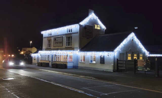
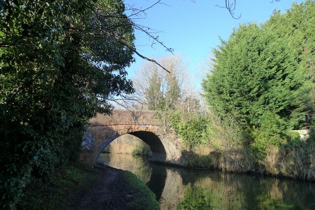
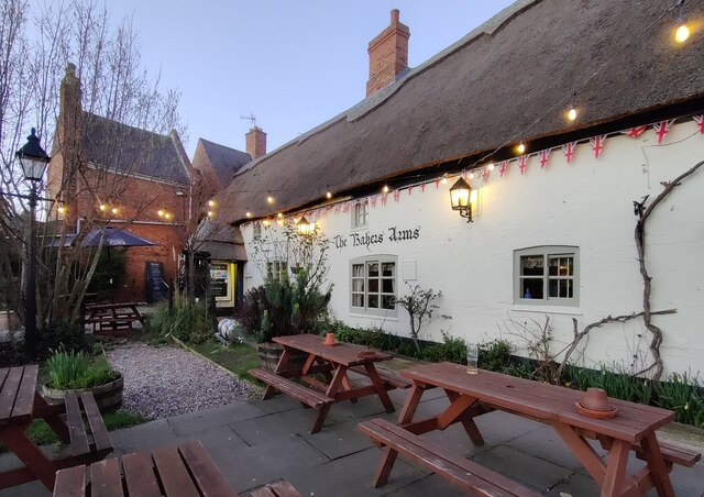
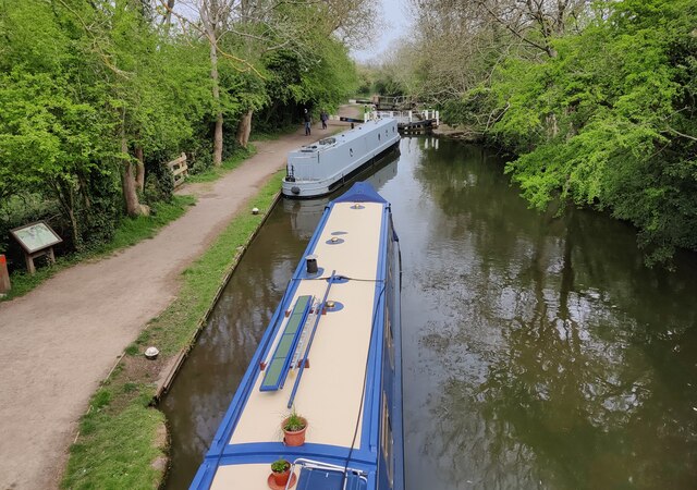
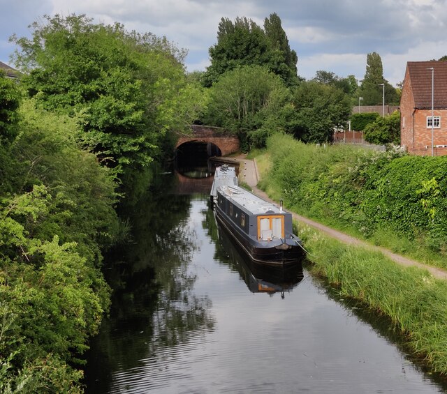
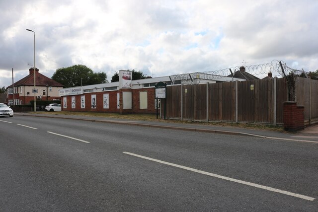
Today, Blaby is a thriving community with a mix of residential, commercial, and industrial areas. The town center features a variety of shops, restaurants, and amenities, providing for the needs of both locals and visitors. The surrounding countryside is characterized by picturesque landscapes, offering opportunities for outdoor activities such as hiking and cycling.
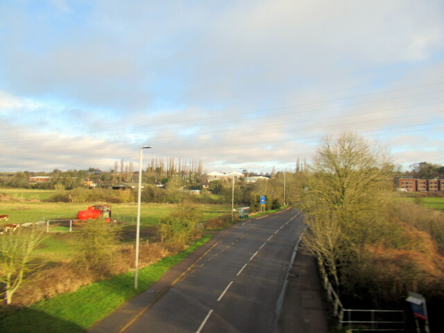
Blaby benefits from excellent transport links, with the M1 motorway running nearby, connecting it to other major cities in the region. The town is also served by several bus routes, providing convenient access to neighboring areas.
In terms of education, Blaby has a number of primary schools within its boundaries, as well as secondary schools in nearby villages. The town is also home to the Blaby and Whetstone Boys Club, a renowned sports facility.
Overall, Blaby is a charming town with a rich history, offering a pleasant living environment and easy access to both rural and urban amenities.
If you have any feedback on the listing, please let us know in the comments section below.
Blaby Images
Images are sourced within 2km of 52.575733/-1.163343 or Grid Reference SP5697. Thanks to Geograph Open Source API. All images are credited.


Blaby is located at Grid Ref: SP5697 (Lat: 52.575733, Lng: -1.163343)
Administrative County: Leicestershire
District: Blaby
Police Authority: Leicestershire
What 3 Words
///puzzle.plates.rinse. Near Blaby, Leicestershire
Nearby Locations
Related Wikis

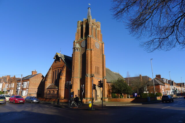
All Saints' Church, Blaby
All Saints' Church is a church in Blaby, Leicestershire. It is a Grade I listed building. == History == The church consists of a nave, vestry, chancel...

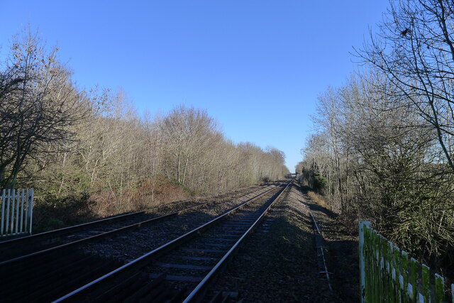
Blaby railway station
Blaby railway station was a railway station on the Birmingham to Peterborough Line that served Blaby in Leicestershire, England. The station was opened...

Blaby
Blaby () is a large village in the Blaby District in central Leicestershire, England, some five miles south of Leicester city centre. At the time of the...

Whetstone, Leicestershire
Whetstone is a village and civil parish in the Blaby district of Leicestershire, England and largely acts as a commuter village for Leicester, five miles...

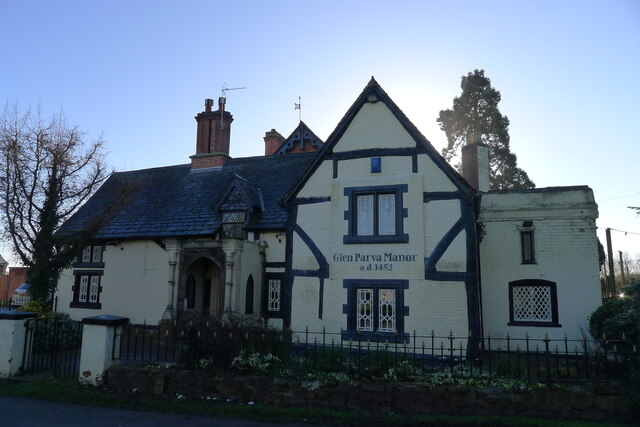
Glen Parva
Glen Parva is a civil parish in the Blaby district of Leicestershire, England with a population of over 17,000. The population of the civil parish, including...

Whetstone railway station
Whetstone was a station on the Great Central Railway (GCR), the last main line to be constructed from the north of England to London, which opened in 1899...
Blaby & Whetstone Athletic F.C.
Blaby & Whetstone Athletic Football Club is a football club based in Whetstone, near Leicester, Leicestershire, England. They play at Warwick Road. �...
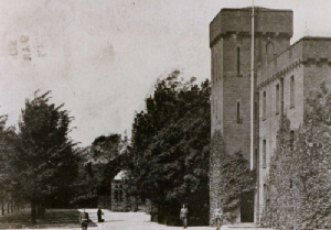
Glen Parva Barracks
Glen Parva Barracks was a military installation at Glen Parva near South Wigston in Leicestershire. == History == The barracks opened under the name of...
Nearby Amenities
Located within 500m of 52.575733,-1.163343Have you been to Blaby?
Leave your review of Blaby below (or comments, questions and feedback).