Radwinter End
Settlement in Essex Uttlesford
England
Radwinter End

Radwinter End is a small village located in the county of Essex, England. Situated approximately 60 miles northeast of London, it is part of the Uttlesford district. With a population of around 300 residents, it is a close-knit community that offers a peaceful and rural lifestyle.
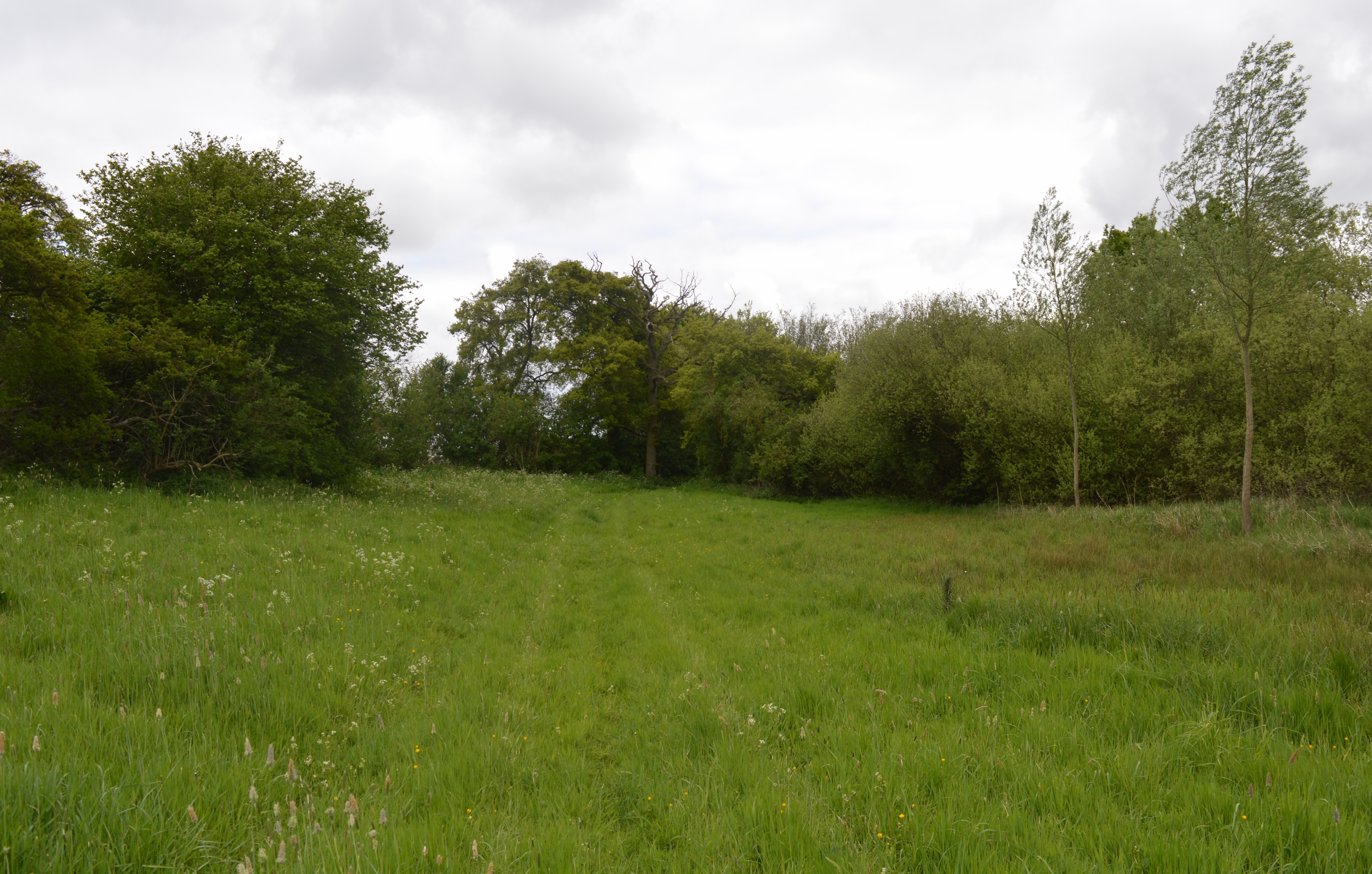
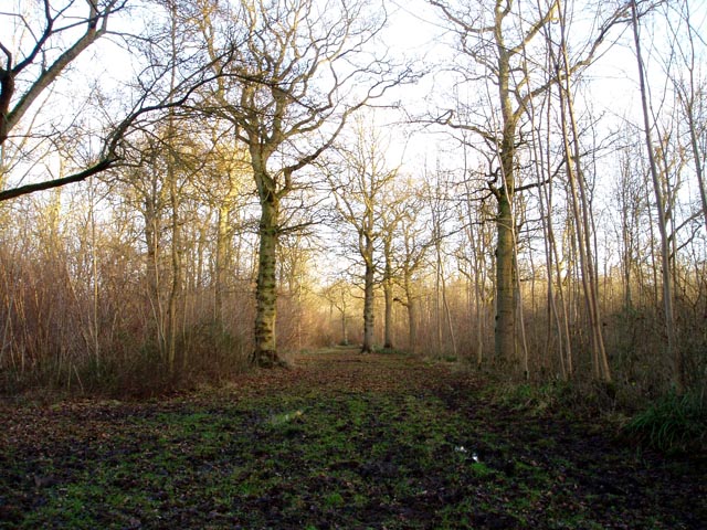
The village is surrounded by picturesque countryside, characterized by rolling hills, meandering rivers, and lush green fields. It is an ideal location for those seeking a tranquil escape from the hustle and bustle of urban life. The nearby Radwinter Forest adds to the natural beauty of the area, providing ample opportunities for outdoor activities such as hiking and cycling.
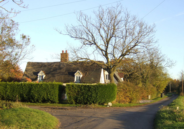
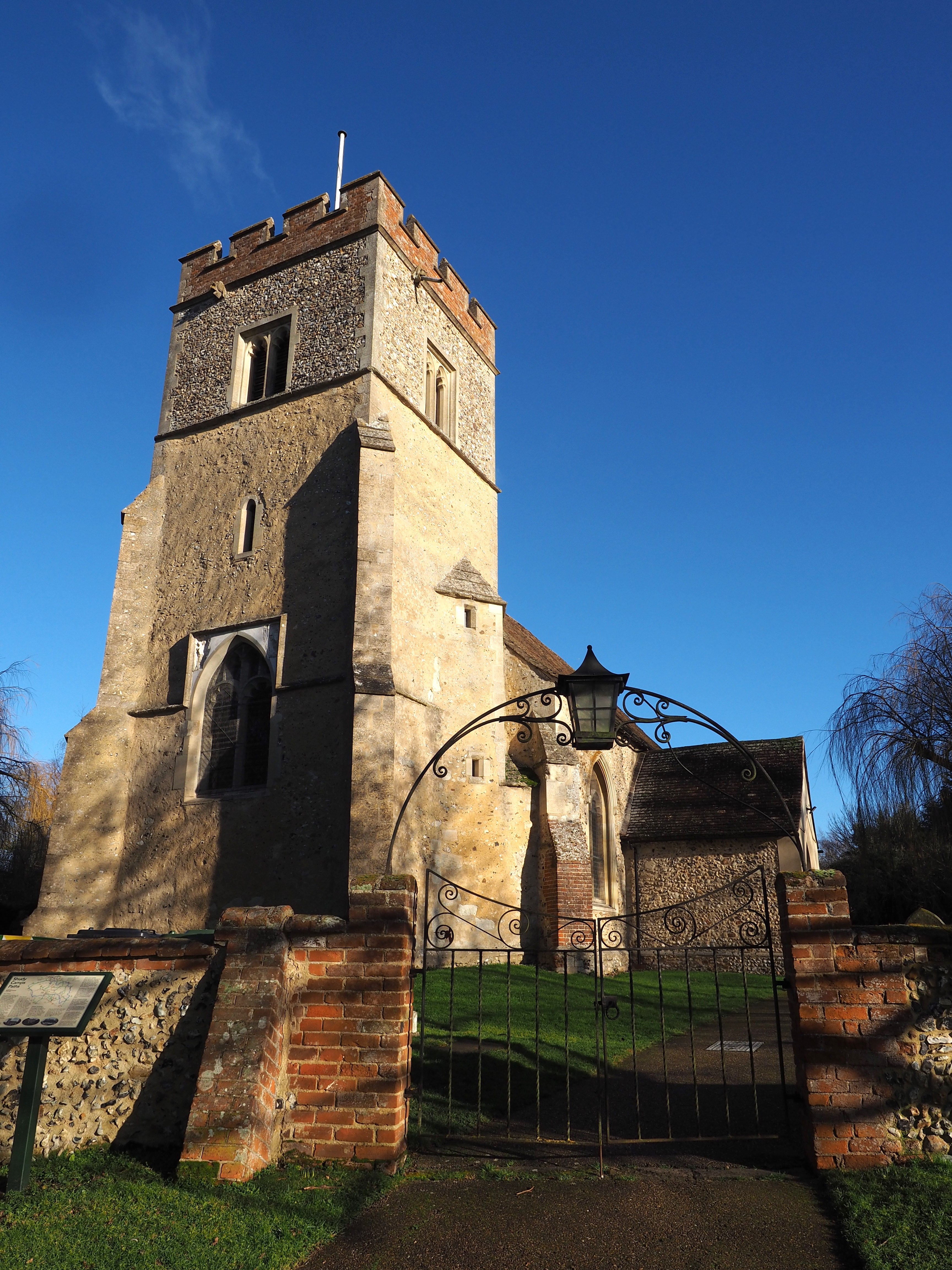
Radwinter End is known for its traditional architecture, with many historic buildings dating back several centuries. The village church, St. Mary’s, is a prominent landmark, displaying exquisite craftsmanship and serving as a gathering place for religious events and community celebrations.
Despite its small size, Radwinter End boasts a strong sense of community spirit. Residents come together for various social events and activities, including a summer fête and a Christmas market. The village also has a local pub, The Red Lion, where locals and visitors alike can enjoy a pint and engage in friendly conversation.
While Radwinter End may be a peaceful retreat, it is conveniently located within reach of nearby towns and cities. The market town of Saffron Walden is just a short drive away, offering a range of amenities including shops, restaurants, and leisure facilities.
In summary, Radwinter End is a charming village in Essex that offers a tranquil and idyllic lifestyle. With its beautiful surroundings, historic architecture, and strong sense of community, it is an attractive destination for those seeking a rural retreat.
If you have any feedback on the listing, please let us know in the comments section below.
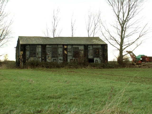
Radwinter End Images
Images are sourced within 2km of 52.031194/0.355761 or Grid Reference TL6139. Thanks to Geograph Open Source API. All images are credited.


Radwinter End is located at Grid Ref: TL6139 (Lat: 52.031194, Lng: 0.355761)
Administrative County: Essex
District: Uttlesford
Police Authority: Essex
What 3 Words
///passenger.awaited.toothpick. Near Steeple Bumpstead, Essex
Nearby Locations
Related Wikis
Shudy Camps
Shudy Camps is a village in the south-east corner of Cambridgeshire, England, near the border of Essex and Suffolk, and is part of the Chilford Hundred...

Hempstead, Essex
Hempstead is a village and civil parish in the Uttlesford district of Essex, England. The village is 7 miles (11 km) east from Saffron Walden and 6 miles...

Radwinter
Radwinter is a village and a civil parish on the B1053 road, in the Uttlesford district of the county of Essex, England. The population in the 2011 census...
Ashdon Meadows
Ashdon Meadows is a 1.5-hectare (3.7-acre) biological Site of Special Scientific Interest south of Ashdon in Essex.The site is unimproved grassland which...

RAF Castle Camps
RAF Castle Camps was listed as being in Cambridgeshire as it is close to its namesake Cambridgeshire village. It is very near the Suffolk border and the...
Castle Camps
Castle Camps was a Norman Castle located in what is now the civil parish of Castle Camps, Cambridgeshire. == Owners == Castle Camps was originally a Saxon...
Langley Wood, Cambridgeshire
Langley Wood is a 31.6-hectare (78-acre) biological Site of Special Scientific Interest in Cambridgeshire, but lying between Saffron Walden in Essex and...

Bragg's Mill, Ashdon
Bragg's Mill, William Bragg's Mill, Bartlow Hamlet Mill or Stevington End Mill is a grade II listed post mill at Ashdon, Essex, England which has been...
Related Videos

Long Corner Cottage, Hempstead | UK Family Home Tour | Essex
Book Your Viewing Appointment Here: https://street.co.uk/platform/properties/23350d25-5981-450a-aae9-69c87184a523 Long ...
Nearby Amenities
Located within 500m of 52.031194,0.355761Have you been to Radwinter End?
Leave your review of Radwinter End below (or comments, questions and feedback).