Radford Semele

Settlement in Warwickshire Warwick

England

Radford Semele

Offchurch Bury Park, aerial 2021 Horsebox Park, in connection with Pony Club event.
Offchurch Bury Park, aerial 2021 Credit: Simon Tomson

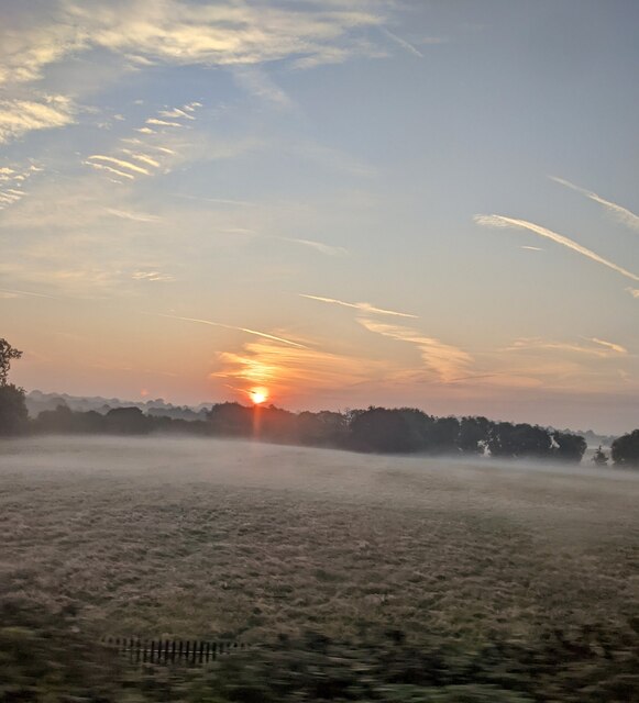
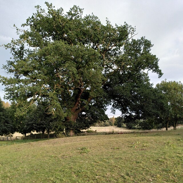
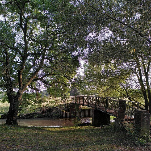
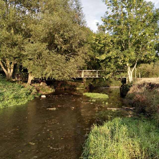
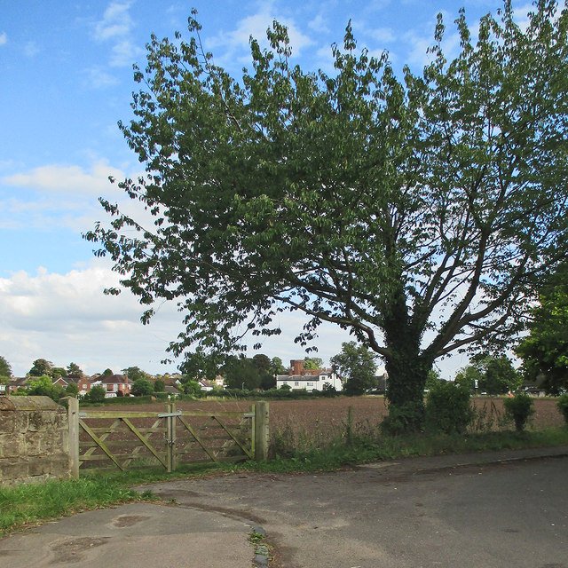
Radford Semele is a picturesque village located in the county of Warwickshire, England. Situated just two miles south of Leamington Spa, it is surrounded by stunning countryside and offers residents and visitors a tranquil and idyllic setting.

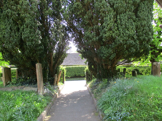
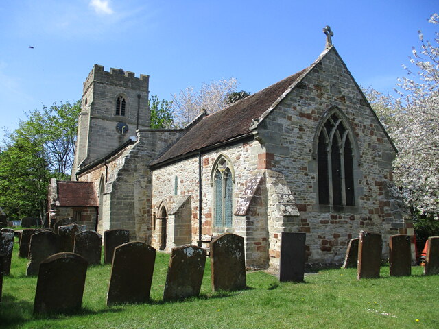
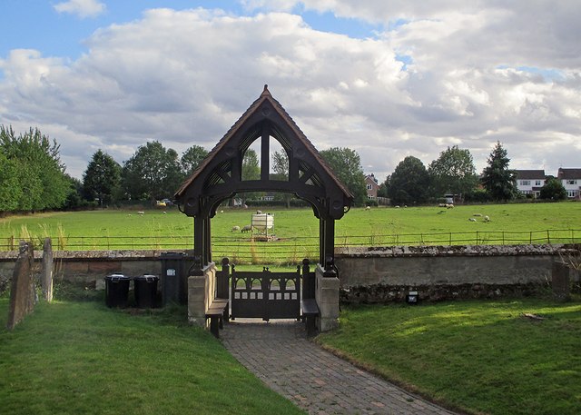
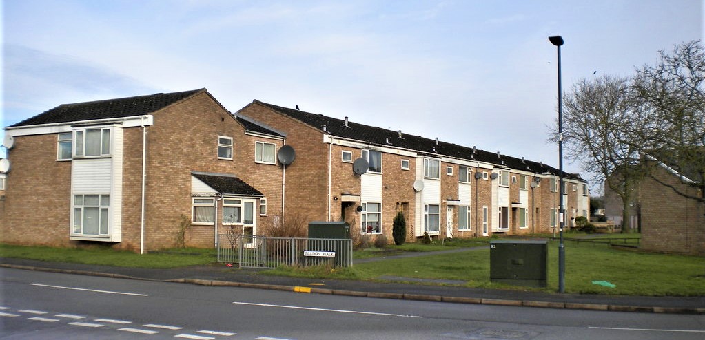
The village is home to approximately 2,000 residents, creating a close-knit community atmosphere. Radford Semele has a rich history dating back to medieval times, with evidence of Roman settlements found in the area. The architecture in the village reflects its historic past, with charming cottages and traditional buildings lining the streets.

Despite its small size, Radford Semele boasts a range of amenities, including a local primary school, community hall, and a handful of shops and businesses. The village also has a welcoming pub, serving traditional English fare and providing a gathering place for locals.

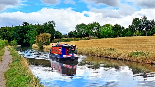
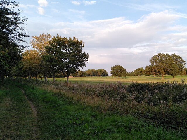
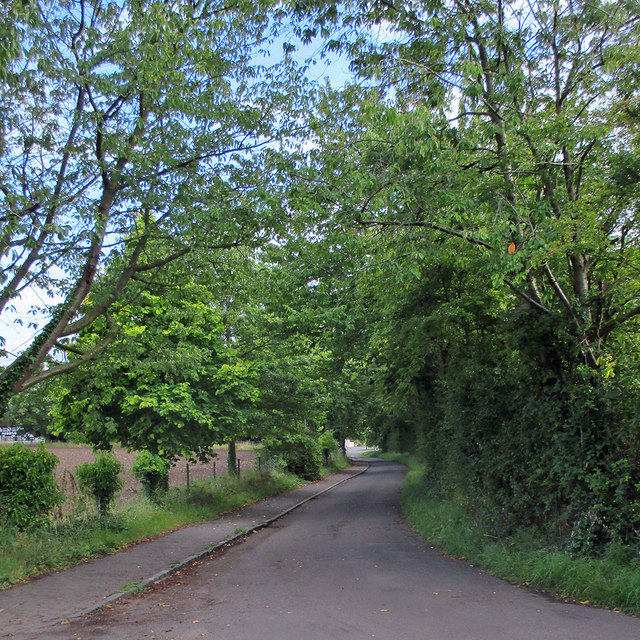
Nature enthusiasts will appreciate the village's proximity to the beautiful Warwickshire countryside. There are several walking and cycling trails nearby, offering opportunities to explore the stunning landscapes and enjoy the fresh air. Additionally, Radford Semele is conveniently located near major road networks, providing easy access to nearby towns and cities.

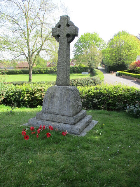
The community in Radford Semele is active and vibrant, with various events and activities organized throughout the year. These include summer fetes, charity fundraisers, and festive celebrations, which bring residents together and foster a strong sense of community spirit.

In conclusion, Radford Semele is a charming village in Warwickshire, offering residents and visitors a peaceful and picturesque place to live or visit, with its rich history, stunning landscapes, and strong community spirit.

If you have any feedback on the listing, please let us know in the comments section below.

Radford Semele Images

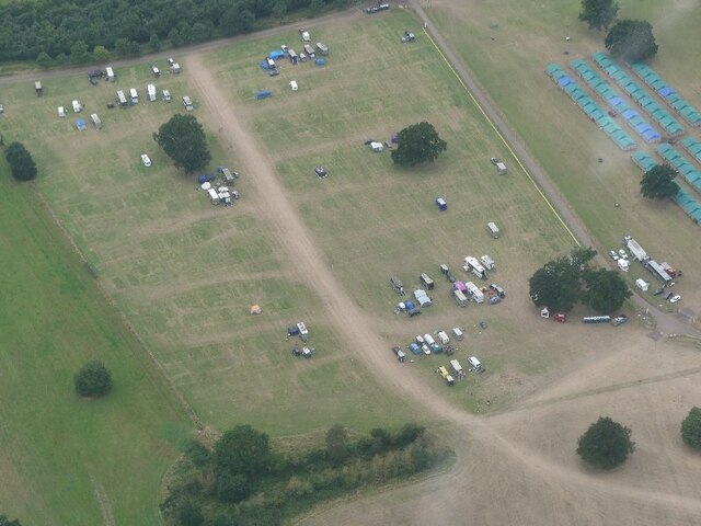
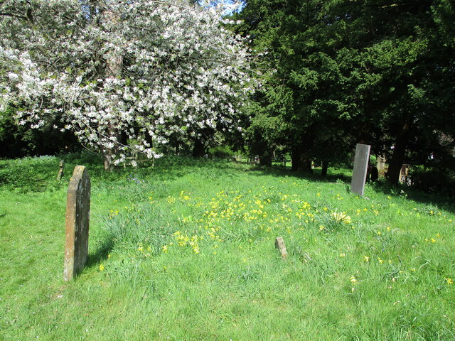
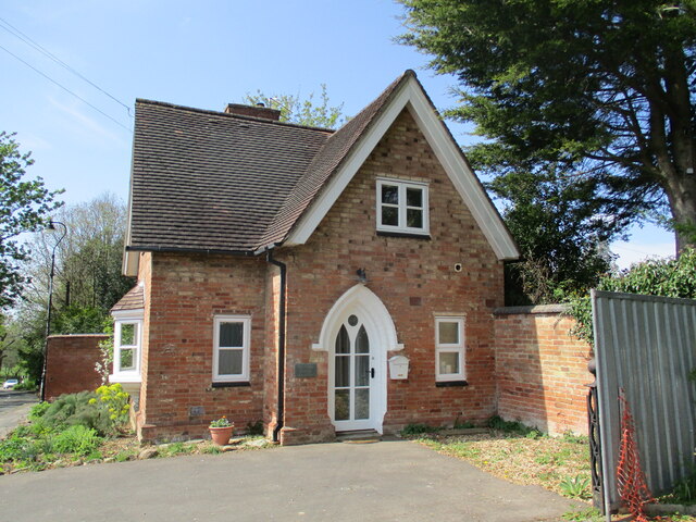
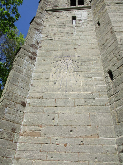
Images are sourced within 2km of 52.275474/-1.494887 or Grid Reference SP3464. Thanks to Geograph Open Source API. All images are credited.

Offchurch Bury Park, aerial 2021 Horsebox Park, in connection with Pony Club event.
Offchurch Bury Park, aerial 2021
Horsebox Park, in connection with Pony Club event.
Cowslips in the churchyard, Offchurch
The Lodge Cottage, Offchurch
Sundial on St. Gregory's church, Offchurch The sundial installed in 2006 replaced one painted on the stonework in 1795.
Sundial on St. Gregory's church, Offchurch
The sundial installed in 2006 replaced one painted on the stonework in 1795.
Churchyard path, Offchurch
St. Gregory's church, Offchurch The oldest parts date to the eleventh century <span class="nowrap"><a title="https://historicengland.org.uk/listing/the-list/list-entry/1035084?section=official-list-entry" rel="nofollow ugc noopener" href="https://historicengland.org.uk/listing/the-list/list-entry/1035084?section=official-list-entry">Link</a><img style="margin-left:2px;" alt="External link" title="External link - shift click to open in new window" src="https://s1.geograph.org.uk/img/external.png" width="10" height="10"/></span>
St. Gregory's church, Offchurch
The oldest parts date to the eleventh century LinkExternal link
War memorial, Offchurch
Grand Union Canal
Grand Union Canal
Sunrise over mist covered field, Witnash
Oak tree by the path from Lillington to Offchurch Here the path leaves the farm drive and crosses a field behind Redhouse Farm; beyond the tree it crosses the drive, which links the farm with Offchurch Bury. The path continues through a field towards the River Leam.
Oak tree by the path from Lillington to Offchurch
Here the path leaves the farm drive and crosses a field behind Redhouse Farm; beyond the tree it crosses the drive, which links the farm with Offchurch Bury. The path continues through a field towards the River Leam.
The White Bridge over the Leam The 'White Bridge' is, or was, a local name for a footbridge, one of two that carry a footpath over the River Leam and a narrow wooded island within it. To the east, the path crosses Offchurch Bury Park to Offchurch village. To the west it forks, one path climbing the hill to Lillington, the other following the river valley into Leamington.
The White Bridge over the Leam
The 'White Bridge' is, or was, a local name for a footbridge, one of two that carry a footpath over the River Leam and a narrow wooded island within it. To the east, the path crosses Offchurch Bury Park to Offchurch village. To the west it forks, one path climbing the hill to Lillington, the other following the river valley into Leamington.
River Leam by the White Bridge Paths from Leamington and Lillington converge here to cross the Leam; see <a href="https://www.geograph.org.uk/photo/7680022">SP3465 : The White Bridge over the Leam</a>.
River Leam by the White Bridge
Paths from Leamington and Lillington converge here to cross the Leam; see SP3465 : The White Bridge over the Leam.
Path across the park to Offchurch  The public footpath from Leamington continues towards Offchurch village across Offchurch Bury Park; definitely not a public park, but a rich man's savanna with Keep Out signs to keep walkers on the straight and narrow.
Path across the park to Offchurch
The public footpath from Leamington continues towards Offchurch village across Offchurch Bury Park; definitely not a public park, but a rich man's savanna with Keep Out signs to keep walkers on the straight and narrow.
Radford Semele: Church End An August-afternoon view towards Southam Road, the A425, taken from the bend by the church. For a spring version, see Nigel Mykura's <a href="https://www.geograph.org.uk/photo/2932807">SP3464 : Church Lane Radford Semele</a>.
Radford Semele: Church End
An August-afternoon view towards Southam Road, the A425, taken from the bend by the church. For a spring version, see Nigel Mykura's SP3464 : Church Lane Radford Semele.
Radford Semele: Church End to Offchurch Lane A view from the lane outside the church towards the houses on Offchurch Lane.
Radford Semele: Church End to Offchurch Lane
A view from the lane outside the church towards the houses on Offchurch Lane.
Radford Semele: through the lychgate A view from the churchyard over a field of sheep, with houses on Southam Road in the background. The lychgate is Victorian, like much of St Nicholas's Church.

For more of the field on the other side of Church End, see <a href="https://www.geograph.org.uk/photo/4615296">SP3464 : Radford Semele: lychgate and flock</a>.
Radford Semele: through the lychgate
A view from the churchyard over a field of sheep, with houses on Southam Road in the background. The lychgate is Victorian, like much of St Nicholas's Church. For more of the field on the other side of Church End, see SP3464 : Radford Semele: lychgate and flock.
Radford Semele: lychgate and flock A view from the churchyard over a field of sheep, with houses on Southam Road in the background. The lychgate is Victorian, like much of St Nicholas's Church.

For a slightly closer view of the lychgate, see <a href="https://www.geograph.org.uk/photo/4615294">SP3464 : Radford Semele: through the lychgate</a>.
Radford Semele: lychgate and flock
A view from the churchyard over a field of sheep, with houses on Southam Road in the background. The lychgate is Victorian, like much of St Nicholas's Church. For a slightly closer view of the lychgate, see SP3464 : Radford Semele: through the lychgate.
Radford Semele: in St Nicholas's churchyard Looking towards where the former Leamington-Rugby railway and the Grand Union Canal follow the River Leam.
Radford Semele: in St Nicholas's churchyard
Looking towards where the former Leamington-Rugby railway and the Grand Union Canal follow the River Leam.
Show me another place!

Radford Semele is located at Grid Ref: SP3464 (Lat: 52.275474, Lng: -1.494887)

Administrative County: Warwickshire

District: Warwick

Police Authority: Warwickshire

What 3 Words

///boot.bitters.lollipop. Near Royal Leamington Spa, Warwickshire

Related Wikis

Radford Semele

Radford Semele is a village and civil parish in Warwickshire, England, situated close to the Regency spa town of Leamington Spa. According to the 2001...

Sydenham, Leamington Spa

Sydenham is an eastern suburb of the town of Leamington Spa, Warwickshire, England. Prior to the 1960s the area was rural, with only agricultural buildings...

Campion School, Leamington Spa

Campion School was formed in 1977 when it moved to the present site on Sydenham Drive in Leamington Spa, Warwickshire, England. In 2006, Campion was awarded...

Offchurch Bury

Offchurch Bury is a manor house one mile north-west of the centre of the village of Offchurch, Warwickshire, England. It is supposed to represent the...

Nearby Amenities

Located within 500m of 52.275474,-1.494887
Direction: forward
Maxspeed: 40 mph
Traffic Sign: maxspeed
Lat/Long: 52.2761686/-1.4910731
Bus Stop
Lewis Road
Bench: no
Bin: no
Bus: yes
Covered: no
Lit: yes
Naptan AtcoCode: 4200F054200
Naptan Bearing: SE
Naptan BusStopType: CUS
Naptan CommonName: Lewis Road
Naptan Crossing: Lewis Road
Naptan Indicator: Opp
Naptan NaptanCode: waratdta
Naptan PlusbusZoneRef: LMNGTNS
Naptan Street: Southam Road
Naptan Verified: no
Passenger Information Display: no
Public Transport: platform
Source: naptan_import
Tactile Paving: no
Lat/Long: 52.2769729/-1.4940572
Bus Stop
White Lion
Bench: no
Bin: no
Bus: yes
Covered: no
Lit: yes
Naptan AtcoCode: 4200F054300
Naptan Bearing: W
Naptan CommonName: White Lion
Naptan Indicator: Adj
Naptan Landmark: White Lion
Naptan NaptanCode: waratdtd
Naptan PlusbusZoneRef: LMNGTNS
Naptan Street: Southam Road
Naptan Verified: no
Passenger Information Display: no
Public Transport: platform
Source: naptan_import
Tactile Paving: no
Lat/Long: 52.2781159/-1.4975762
Bus Stop
Kingshurst
Bench: yes
Bin: yes
Bus: yes
Covered: no
Lit: yes
Naptan AtcoCode: 4200F126810
Naptan Bearing: SE
Naptan CommonName: Kingshurst
Naptan Crossing: Kingshurst
Naptan Indicator: Opp
Naptan NaptanCode: waratagw
Naptan PlusbusZoneRef: LMNGTNS
Naptan Street: Southam Road
Naptan Verified: no
Passenger Information Display: no
Public Transport: platform
Source: naptan_import
Tactile Paving: no
Lat/Long: 52.2787335/-1.4996967
Bus Stop
The Greswoldes
Bus: yes
Covered: no
Naptan AtcoCode: 4200F156701
Naptan Bearing: NE
Naptan CommonName: The Greswoldes
Naptan Indicator: Opp
Naptan NaptanCode: warajamj
Naptan Street: Offchurch Lane
Naptan Verified: no
Passenger Information Display: no
Public Transport: platform
Source: naptan_import
Lat/Long: 52.2791784/-1.4935977
Bus Stop
The Greswoldes
Bus: yes
Covered: no
Naptan AtcoCode: 4200F156702
Naptan Bearing: SW
Naptan CommonName: The Greswoldes
Naptan Indicator: Adj
Naptan NaptanCode: warajamp
Naptan Street: Offchurch Lane
Naptan Verified: no
Passenger Information Display: no
Public Transport: platform
Source: naptan_import
Lat/Long: 52.2791321/-1.493294
Bus Stop
Lewis Road
Bench: yes
Bin: yes
Bus: yes
Covered: no
Lit: yes
Naptan AtcoCode: 4200F226703
Naptan Bearing: NW
Naptan CommonName: Lewis Road
Naptan Indicator: Adj
Naptan Landmark: Bus Shelter
Naptan NaptanCode: wardjawa
Naptan PlusbusZoneRef: LMNGTNS
Naptan Street: Southam Road
Naptan Verified: no
Passenger Information Display: no
Public Transport: platform
Source: naptan_import
Tactile Paving: no
Lat/Long: 52.27709/-1.4947363
Bus Stop
The Gardens
Bus: yes
Covered: no
Naptan AtcoCode: 4200F230001
Naptan Bearing: N
Naptan BusStopType: CUS
Naptan CommonName: The Gardens
Naptan Indicator: Adj
Naptan NaptanCode: wardgmgp
Naptan PlusbusZoneRef: LMNGTNS
Naptan Street: School Lane
Naptan Verified: no
Passenger Information Display: no
Public Transport: platform
Source: naptan_import
Lat/Long: 52.277039/-1.4985954
Barrier: bollard
Source: survey
Lat/Long: 52.2742406/-1.4985934
Radford Semele
Is In: Warwickshire
Place: village
Wikidata: Q1840415
Lat/Long: 52.2768349/-1.4957113
Crossing
Crossing Signals: yes
Lat/Long: 52.2782315/-1.4979972
Give Way
Direction: backward
Lat/Long: 52.2780712/-1.4965087
Barrier: stile
Source: survey
Lat/Long: 52.2760424/-1.5021014
Post Box
Brand: Royal Mail
Brand Wikidata: Q638098
Brand Wikipedia: en:Royal Mail
Collection Times: Mo-Fr 09:00; Sa 07:00
Operator: Royal Mail
Operator Wikidata: Q638098
Post Box Type: wall
Ref: CV31 173D
Royal Cypher: EIIR
Royal Cypher Wikidata: Q33102113
Source: survey
Lat/Long: 52.2781431/-1.4978667
Post Office
Radford Semele Post Office
Addr Country: GB
Addr Postcode: CV31 1UQ
Brand: Post Office
Brand Wikidata: Q1783168
Contact Website: https://www.postoffice.co.uk/branch-finder/5742463/radford-semele
Operator: Best-one
Ref Pol Id: 145448
Lat/Long: 52.2751623/-1.4946212
Post Box
Brand: Royal Mail
Brand Wikidata: Q638098
Brand Wikipedia: en:Royal Mail
Collection Times: Mo-Fr 17:00; Sa 09:00
Operator: Royal Mail
Operator Wikidata: Q638098
Post Box Type: pillar
Ref: CV31 210
Royal Cypher: EIIR
Royal Cypher Wikidata: Q33102113
Source: survey
Lat/Long: 52.2751662/-1.4948204
Bus Stop
Hatherell Road
Bus: yes
Covered: no
Naptan AtcoCode: 4200F226702
Naptan Bearing: S
Naptan CommonName: Hatherell Road
Naptan Indicator: Opp
Naptan NaptanCode: wardawdp
Naptan Street: Lewis Road
Naptan Verified: no
Passenger Information Display: no
Public Transport: platform
Lat/Long: 52.2756348/-1.494772
Give Way
Direction: backward
Lat/Long: 52.2734126/-1.496648
Defibrillator
Emergency: defibrillator
Source: survey
Lat/Long: 52.2778148/-1.4969984
RED Hair & Beauty
Addr City: Leamington Spa
Addr Housenumber: 29
Addr Postcode: CV31 1UQ
Addr Street: Lewis Road
Addr Suburb: Radford Semele
Shop: hairdresser
Lat/Long: 52.2752748/-1.4946208
Best-one
Addr City: Leamington Spa
Addr Housenumber: 29-31
Addr Postcode: CV31 1UQ
Addr Street: Lewis Road
Addr Suburb: Radford Semele
Brand: Best-one
Brand Wikidata: Q4896532
Brand Wikipedia: en:Best-one
Contact Website: https://stores.best-one.co.uk/best-one-b188f3ad87ac
Fhrs Id: 242063
Shop: convenience
Source: survey
Lat/Long: 52.2751774/-1.494672
Generator Method: photovoltaic
Generator Output Electricity: yes
Generator Source: solar
Generator Type: solar_photovoltaic_panel
Location: roof
Power: generator
Lat/Long: 52.2772579/-1.4936713
Generator Method: photovoltaic
Generator Output Electricity: yes
Generator Source: solar
Generator Type: solar_photovoltaic_panel
Location: roof
Power: generator
Lat/Long: 52.2772418/-1.4935974
Generator Method: photovoltaic
Generator Output Electricity: yes
Generator Source: solar
Generator Type: solar_photovoltaic_panel
Location: roof
Power: generator
Lat/Long: 52.2778931/-1.4947682
Generator Method: photovoltaic
Generator Output Electricity: yes
Generator Source: solar
Generator Type: solar_photovoltaic_panel
Location: roof
Power: generator
Lat/Long: 52.277085/-1.4893125
Generator Method: photovoltaic
Generator Output Electricity: yes
Generator Source: solar
Generator Type: solar_photovoltaic_panel
Location: roof
Power: generator
Lat/Long: 52.277108/-1.4891299
Generator Method: photovoltaic
Generator Output Electricity: yes
Generator Source: solar
Generator Type: solar_photovoltaic_panel
Location: roof
Power: generator
Lat/Long: 52.2765264/-1.489039
Generator Method: photovoltaic
Generator Output Electricity: yes
Generator Source: solar
Generator Type: solar_photovoltaic_panel
Location: roof
Power: generator
Lat/Long: 52.276567/-1.4887293
Generator Method: photovoltaic
Generator Output Electricity: yes
Generator Source: solar
Generator Type: solar_photovoltaic_panel
Location: roof
Power: generator
Lat/Long: 52.2756253/-1.4937899
Generator Method: photovoltaic
Generator Output Electricity: yes
Generator Source: solar
Generator Type: solar_photovoltaic_panel
Location: roof
Power: generator
Lat/Long: 52.2763709/-1.4948452
Generator Method: photovoltaic
Generator Output Electricity: yes
Generator Source: solar
Generator Type: solar_photovoltaic_panel
Location: roof
Power: generator
Lat/Long: 52.2744169/-1.4942028
Generator Method: photovoltaic
Generator Output Electricity: yes
Generator Source: solar
Generator Type: solar_photovoltaic_panel
Location: roof
Power: generator
Lat/Long: 52.2744065/-1.4941088
Generator Method: photovoltaic
Generator Output Electricity: yes
Generator Source: solar
Generator Type: solar_photovoltaic_panel
Location: roof
Power: generator
Lat/Long: 52.2733781/-1.4969973
Defibrillator
Defibrillator Location: On corner of building
Emergency: defibrillator
Indoor: no
Note: no code visible
Ref GB The Circuit: 2B7B073B-CF7F-4B37-AD46-B13D00A516A8
Source: survey
Lat/Long: 52.2751427/-1.4947195
Generator Method: photovoltaic
Generator Output Electricity: yes
Generator Source: solar
Generator Type: solar_photovoltaic_panel
Location: roof
Power: generator
Lat/Long: 52.2761369/-1.5015327
Generator Method: photovoltaic
Generator Output Electricity: yes
Generator Source: solar
Generator Type: solar_photovoltaic_panel
Location: roof
Power: generator
Lat/Long: 52.2761351/-1.5014677
Give Way
Direction: backward
Lat/Long: 52.2782423/-1.4982897
Give Way
Direction: backward
Lat/Long: 52.2783179/-1.4982944
Give Way
Direction: backward
Lat/Long: 52.2775093/-1.4953763
Give Way
Direction: forward
Lat/Long: 52.2769746/-1.4943981
Give Way
Direction: backward
Lat/Long: 52.2782954/-1.4955616
Generator Method: photovoltaic
Generator Output Electricity: yes
Generator Source: solar
Generator Type: solar_photovoltaic_panel
Location: roof
Power: generator
Lat/Long: 52.278114/-1.4944942
Generator Method: photovoltaic
Generator Output Electricity: yes
Generator Source: solar
Generator Type: solar_photovoltaic_panel
Location: roof
Power: generator
Lat/Long: 52.2781979/-1.494542
Generator Method: photovoltaic
Generator Output Electricity: yes
Generator Source: solar
Generator Type: solar_photovoltaic_panel
Location: roof
Power: generator
Lat/Long: 52.2782369/-1.494634
Give Way
Direction: backward
Lat/Long: 52.2790424/-1.4936033
Give Way
Direction: backward
Lat/Long: 52.2759298/-1.4997551
Give Way
Direction: backward
Lat/Long: 52.276028/-1.4986876
Give Way
Direction: backward
Lat/Long: 52.2730971/-1.4958526
Give Way
Direction: backward
Lat/Long: 52.2735317/-1.4966932
Give Way
Direction: forward
Lat/Long: 52.272425/-1.4967645
Give Way
Direction: backward
Lat/Long: 52.2722527/-1.4968068
Give Way
Direction: forward
Lat/Long: 52.2741318/-1.4963131
Give Way
Direction: backward
Lat/Long: 52.2735081/-1.4945412
Give Way
Direction: backward
Lat/Long: 52.2746391/-1.4957282
Give Way
Direction: backward
Lat/Long: 52.2753908/-1.4948964
Give Way
Direction: forward
Lat/Long: 52.2755304/-1.4949367
Give Way
Direction: backward
Lat/Long: 52.2757816/-1.4961431
Give Way
Direction: backward
Lat/Long: 52.2757871/-1.4988109
Give Way
Direction: backward
Lat/Long: 52.2758137/-1.4995583
Give Way
Direction: backward
Lat/Long: 52.2760017/-1.5005026
Give Way
Direction: forward
Lat/Long: 52.2767251/-1.4986496
Give Way
Direction: backward
Lat/Long: 52.2766728/-1.4985821
Give Way
Direction: backward
Lat/Long: 52.2758858/-1.4947045
Telephone
Booth: K6
Covered: booth
Operator: BT
Operator Wikidata: Q593786
Source: drive-by survey
Lat/Long: 52.2770373/-1.4947092
Street Lamp
Lat/Long: 52.27853/-1.4995551
Street Lamp
Lat/Long: 52.2784098/-1.4990406
Street Lamp
Lat/Long: 52.2782896/-1.4985892
Street Lamp
Lat/Long: 52.2781704/-1.4980431
Street Lamp
Lat/Long: 52.2781013/-1.4975783
Street Lamp
Lat/Long: 52.2781621/-1.4971164
Street Lamp
Lat/Long: 52.2779923/-1.4966228
Street Lamp
Lat/Long: 52.2778963/-1.4961736
Street Lamp
Lat/Long: 52.2777035/-1.4957203
Street Lamp
Lat/Long: 52.2775574/-1.4953052
Street Lamp
Lat/Long: 52.2772431/-1.4950088
Street Lamp
Lat/Long: 52.2770405/-1.4946789
Direction: both
Maxspeed: 40 mph
Traffic Sign: maxspeed
Lat/Long: 52.2759852/-1.4878335
Street Lamp
Lat/Long: 52.2770313/-1.4941794
Street Lamp
Lat/Long: 52.2767947/-1.4937054
Street Lamp
Lat/Long: 52.2767901/-1.4931497
Street Lamp
Lat/Long: 52.2766388/-1.4925301
Street Lamp
Lat/Long: 52.2764057/-1.4920923
Street Lamp
Lat/Long: 52.2762685/-1.4916282
Street Lamp
Lat/Long: 52.2761328/-1.4910885
Traffic Signals
Traffic Signals: signal
Traffic Signals Direction: forward
Lat/Long: 52.2782387/-1.4980442
Traffic Signals
Traffic Signals: signal
Traffic Signals Direction: backward
Lat/Long: 52.2782247/-1.4979511
Bus: yes
Public Transport: stop_position
Lat/Long: 52.2781689/-1.4975634
Bus: yes
Public Transport: stop_position
Lat/Long: 52.2769298/-1.4940818
Bus: yes
Public Transport: stop_position
Lat/Long: 52.2770344/-1.4985453
Bus: yes
Public Transport: stop_position
Lat/Long: 52.2756415/-1.4948451
Barrier: bollard
Lat/Long: 52.2752494/-1.4987151
Barrier: bollard
Lat/Long: 52.2744434/-1.4986219
Brand: National Grid
Brand Wikidata: Q1465461
Location Transition: yes
Material: wood
Operator: National Grid Electricity Distribution
Operator Old: Western Power Distribution
Operator Wikidata: Q7988183
Owner: National Grid Electricity Distribution (East Midlands) Plc
Owner Wikidata: Q114348127
Power: pole
Lat/Long: 52.2760874/-1.4915066
Brand: National Grid
Brand Wikidata: Q1465461
Material: wood
Operator: National Grid Electricity Distribution
Operator Old: Western Power Distribution
Operator Wikidata: Q7988183
Owner: National Grid Electricity Distribution (East Midlands) Plc
Owner Wikidata: Q114348127
Power: pole
Lat/Long: 52.2754473/-1.4922293
Brand: National Grid
Brand Wikidata: Q1465461
Material: wood
Operator: National Grid Electricity Distribution
Operator Old: Western Power Distribution
Operator Wikidata: Q7988183
Owner: National Grid Electricity Distribution (East Midlands) Plc
Owner Wikidata: Q114348127
Power: pole
Lat/Long: 52.2748072/-1.4929687
Brand: National Grid
Brand Wikidata: Q1465461
Location Transition: yes
Material: wood
Operator: National Grid Electricity Distribution
Operator Old: Western Power Distribution
Operator Wikidata: Q7988183
Owner: National Grid Electricity Distribution (East Midlands) Plc
Owner Wikidata: Q114348127
Power: pole
Lat/Long: 52.2741429/-1.493733
Street Lamp
Lat/Long: 52.2788712/-1.4942836
Street Lamp
Lat/Long: 52.2792425/-1.4932286
Street Lamp
Lat/Long: 52.2786184/-1.4949637
Street Lamp
Lat/Long: 52.2783812/-1.49556
Street Lamp
Lat/Long: 52.2784838/-1.4952626
Street Lamp
Lat/Long: 52.2791252/-1.4935971
Street Lamp
Lat/Long: 52.2781248/-1.496212
Street Lamp
Lat/Long: 52.2787498/-1.4945941
Street Lamp
Lat/Long: 52.2781334/-1.4965425
Street Lamp
Lat/Long: 52.2794411/-1.4924739
Street Lamp
Lat/Long: 52.2782849/-1.4958822
Street Lamp
Lat/Long: 52.2793409/-1.4928549
Street Lamp
Lat/Long: 52.2790132/-1.4939142
Bench
Backrest: yes
Lat/Long: 52.2763123/-1.488274
The data included in this document is from www.openstreetmap.org. The data is made available under ODbL.

Have you been to Radford Semele?

Leave your review of Radford Semele below (or comments, questions and feedback).