Bitterscote
Settlement in Staffordshire Tamworth
England
Bitterscote

Bitterscote is a small village located in the county of Staffordshire, England. It is situated approximately 3 miles northeast of the town of Tamworth and is surrounded by picturesque countryside. The village is known for its peaceful and rural atmosphere, making it an ideal destination for those seeking a tranquil retreat.
Bitterscote is home to a small population, with a close-knit community that values its traditional heritage. The village features a number of charming cottages and historic buildings, showcasing its rich history. One notable landmark is the Bitterscote Manor, a beautiful manor house dating back to the 17th century. The manor is surrounded by well-maintained gardens, adding to the village's aesthetic appeal.
In terms of amenities, Bitterscote offers limited services within the village itself. However, residents have easy access to nearby towns for their daily needs. The village is well-connected by road, making it convenient for commuting and exploring the wider region.
Nature enthusiasts will find plenty to appreciate in Bitterscote and its surroundings. The village is nestled in an area of natural beauty, with rolling hills and scenic walking trails. There are also several parks and green spaces nearby, offering opportunities for outdoor activities such as picnicking, jogging, or simply enjoying the peaceful surroundings.
Overall, Bitterscote is a quaint village that offers a peaceful lifestyle amidst the beauty of Staffordshire's countryside. It is a place where residents can enjoy the tranquility of rural living while still having access to the amenities of nearby towns.
If you have any feedback on the listing, please let us know in the comments section below.
Bitterscote Images
Images are sourced within 2km of 52.627055/-1.7008 or Grid Reference SK2003. Thanks to Geograph Open Source API. All images are credited.


Bitterscote is located at Grid Ref: SK2003 (Lat: 52.627055, Lng: -1.7008)
Administrative County: Staffordshire
District: Tamworth
Police Authority: Staffordshire
What 3 Words
///basket.riders.lots. Near Tamworth, Staffordshire
Nearby Locations
Related Wikis

Bitterscote
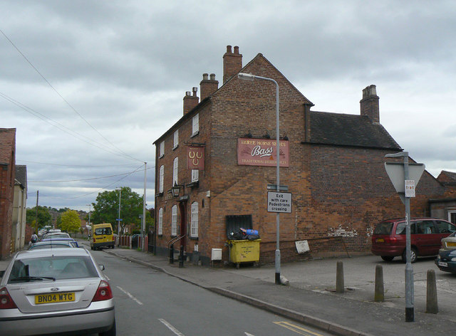
Bitterscote is an area of Tamworth, Staffordshire that is close to the town centre and contains major retail outlets in a development known as Ventura...
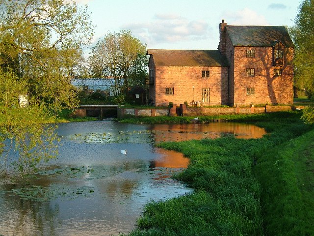
River Anker
The River Anker is a river in England that flows through the centre of Nuneaton. It is a major tributary of the River Tame, which it joins in Tamworth...
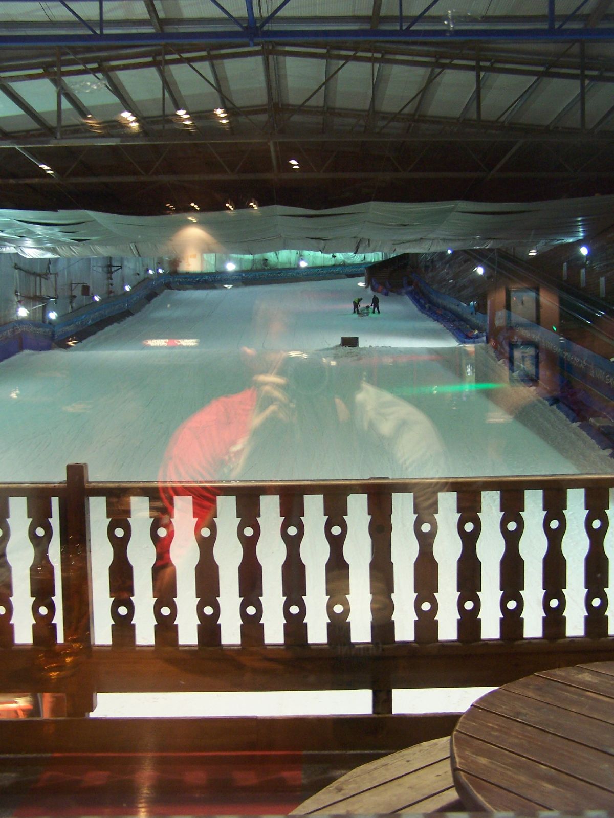
Snowdome
The Snowdome is an indoor ski slope just off the A5 road in Tamworth, Staffordshire, England. It opened in May 1994 and was the first full-sized recreational...
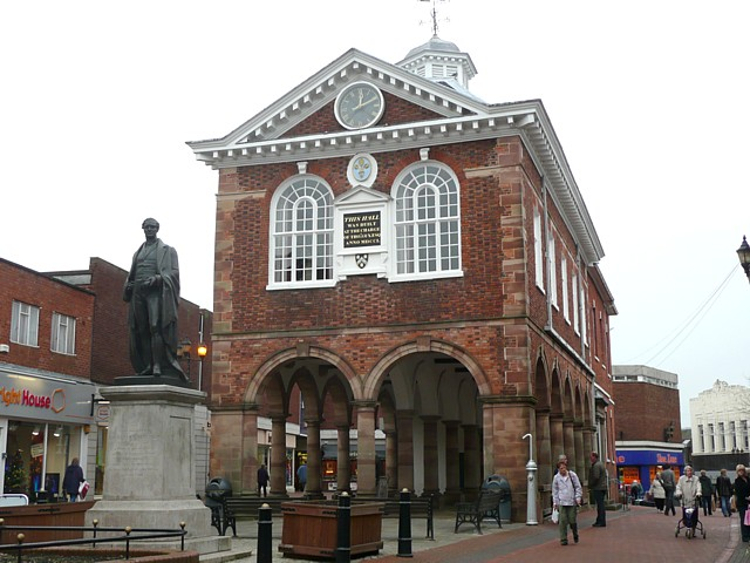
Tamworth Town Hall
Tamworth Town Hall is a municipal building in Market Street, Tamworth, Staffordshire, England. The town hall, which was the meeting place of Tamworth Borough...
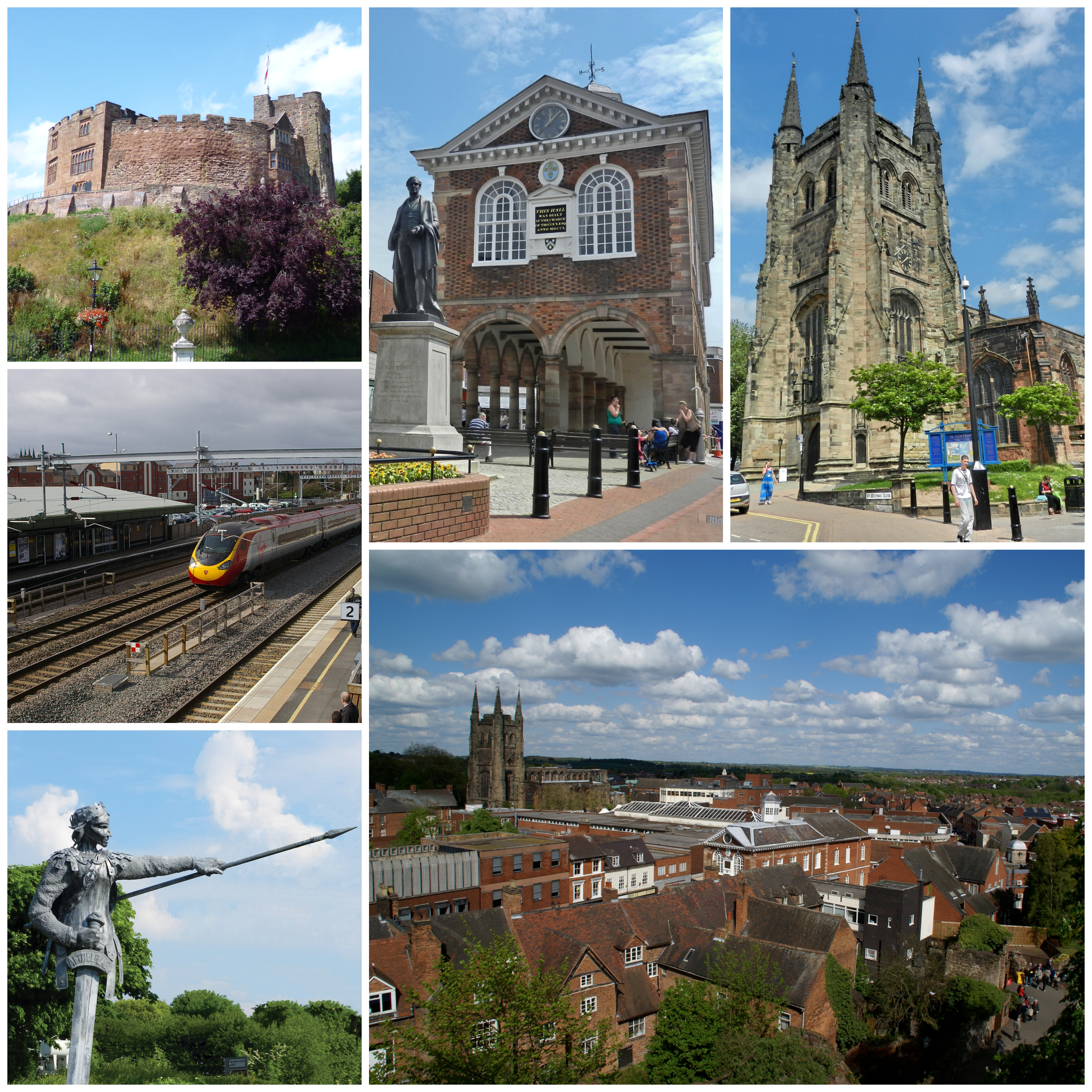
Tamworth, Staffordshire
Tamworth (, ) is a market town and borough in Staffordshire, England, 14 miles (23 km) north-east of Birmingham. The town borders North Warwickshire to...

Moat House, Tamworth
The Moat House is a Grade II* building in Tamworth, Staffordshire, England, in what were once the grounds of Tamworth Castle. The summer house, in the...
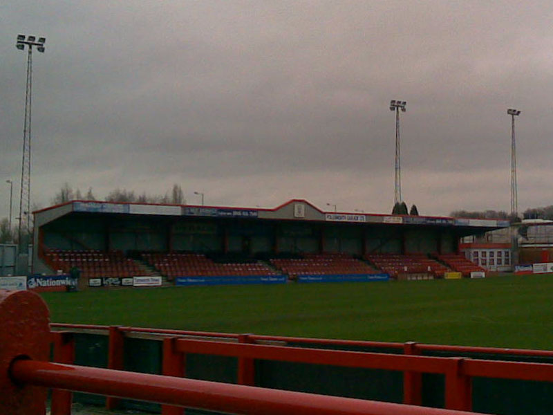
The Lamb Ground
The Lamb Ground is a football stadium in the district of Kettlebrook, in Tamworth, Staffordshire, England and the home of Tamworth F.C. It is approximately...
Tamworth F.C.
Tamworth Football Club is an English association football club based in Tamworth, Staffordshire. The club participates in the National League North. The...
Nearby Amenities
Located within 500m of 52.627055,-1.7008Have you been to Bitterscote?
Leave your review of Bitterscote below (or comments, questions and feedback).