Bittering

Settlement in Norfolk Breckland

England

Bittering

Longham Hall The top of the tower of St Mary's church > <a title="https://www.geograph.org.uk/photo/1830231" href="https://www.geograph.org.uk/photo/1830231">Link</a> can be seen in the background.
Longham Hall Credit: Evelyn Simak

Bittering is a small village located in the English county of Norfolk. Situated approximately 15 miles west of the county town of Norwich, it falls within the Breckland district. With a population of around 400 people, it is considered a quiet and close-knit community.

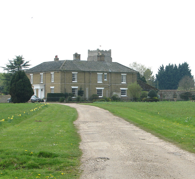
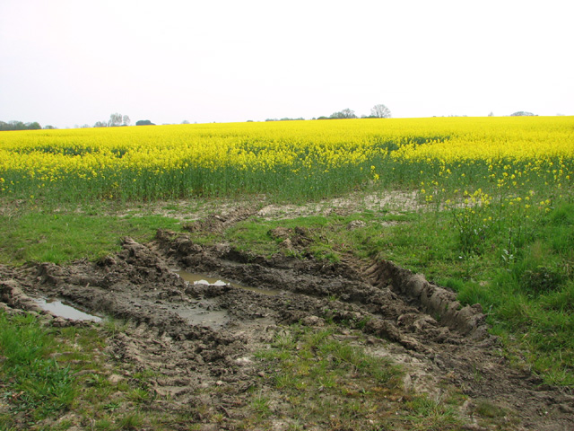
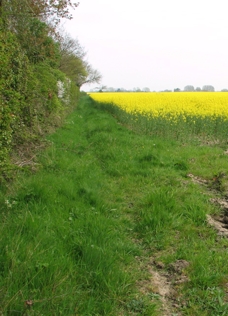
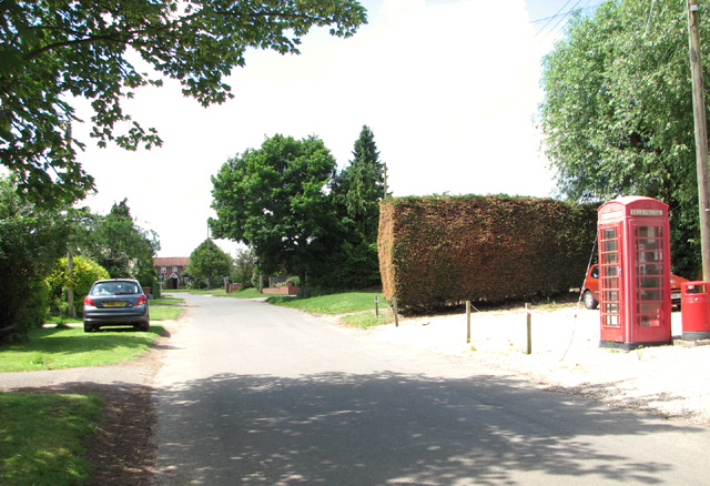
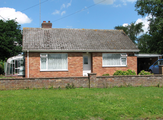
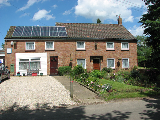
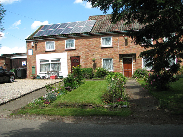
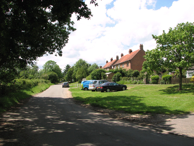
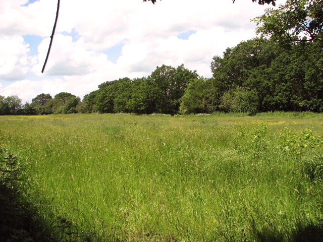
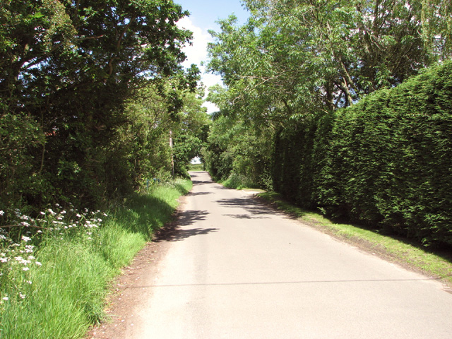
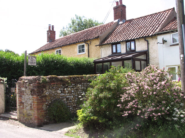
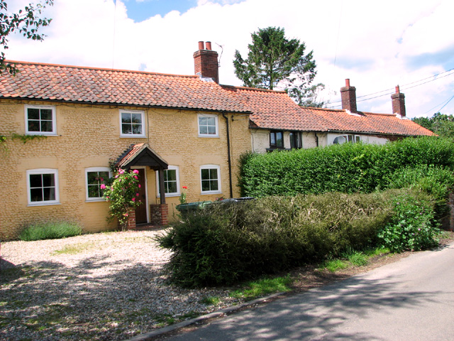
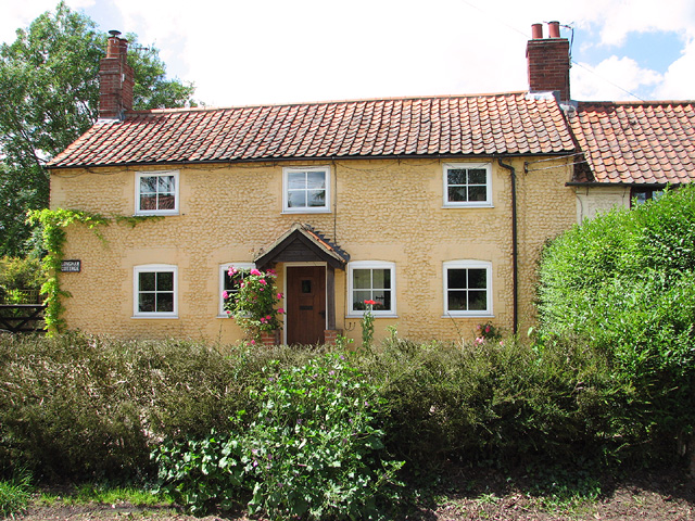
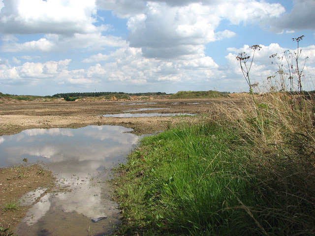
The village is surrounded by picturesque countryside, characterized by rolling hills and open fields. Bittering is renowned for its idyllic rural setting, attracting nature enthusiasts and those seeking a peaceful retreat. The village is dotted with charming cottages and traditional houses, blending seamlessly with the serene landscape.

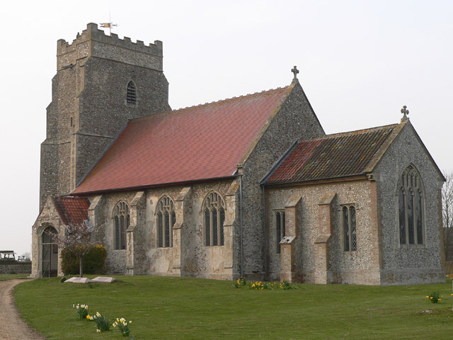
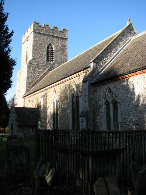
Bittering boasts a rich history, with evidence of human settlements dating back to the Roman era. The village is home to St. Peter and St. Paul Church, a beautiful medieval structure that serves as a reminder of Bittering's past. The church is known for its impressive architecture and stained glass windows, attracting visitors with an interest in historical and religious sites.

Although Bittering is predominantly a residential area, it offers a range of amenities to cater to the needs of its inhabitants. These include a primary school, a village hall, and a local pub, providing a sense of community and social interaction. Additionally, the village benefits from being in close proximity to nearby towns and cities, ensuring residents have access to a wider range of services and facilities.

Overall, Bittering is a charming Norfolk village, offering a tranquil and picturesque setting for its residents while providing easy access to the surrounding areas.

If you have any feedback on the listing, please let us know in the comments section below.
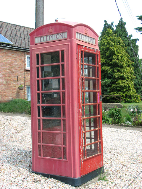
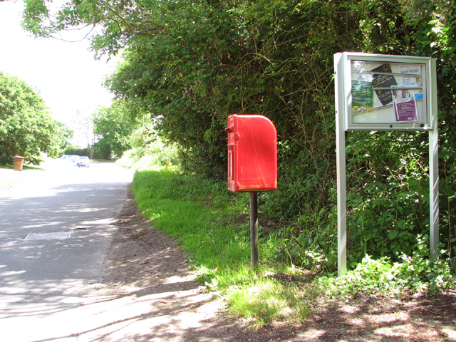
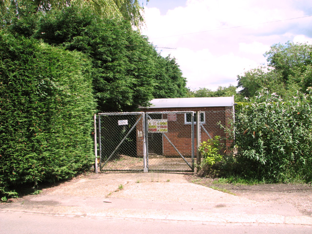
Bittering Images

Images are sourced within 2km of 52.719893/0.870312 or Grid Reference TF9317. Thanks to Geograph Open Source API. All images are credited.

Longham Hall The top of the tower of St Mary's church > <a title="https://www.geograph.org.uk/photo/1830231" href="https://www.geograph.org.uk/photo/1830231">Link</a> can be seen in the background.
Longham Hall
The top of the tower of St Mary's church > Link can be seen in the background.
Shed by the Old Rectory
Flowering oilseed rape by Hall Green
Field boundary hedge by the Old Rectory
View along Chapel Road The K6 phone kiosk seen at right is still functional. It stands beside the former Post Office > <a title="https://www.geograph.org.uk/photo/4021483" href="https://www.geograph.org.uk/photo/4021483">Link</a> which closed a couple of years ago.
View along Chapel Road
The K6 phone kiosk seen at right is still functional. It stands beside the former Post Office > Link which closed a couple of years ago.
Bungalow in Chapel Road
Houses in Chapel Road Until about two years ago, the house at left was the Post Office.  The village shop was also once housed here; it closed several years before the Post Office was closed.
Houses in Chapel Road
Until about two years ago, the house at left was the Post Office. The village shop was also once housed here; it closed several years before the Post Office was closed.
Former Post Office and village shop Until two years ago, the house seen at left was the Post Office.  It also once housed the village shop, which was closed several years before the Post Office was also closed.  For a view from when the PO was still open see > <a title="https://www.geograph.org.uk/photo/522884" href="https://www.geograph.org.uk/photo/522884">Link</a>.
Former Post Office and village shop
Until two years ago, the house seen at left was the Post Office. It also once housed the village shop, which was closed several years before the Post Office was also closed. For a view from when the PO was still open see > Link.
K6 telephone kiosk in Chapel Road This phone box is still functional. It stands beside the former Post Office > <a title="https://www.geograph.org.uk/photo/4021483" href="https://www.geograph.org.uk/photo/4021483">Link</a> which closed a couple of years ago.
K6 telephone kiosk in Chapel Road
This phone box is still functional. It stands beside the former Post Office > Link which closed a couple of years ago.
Postbox and information board in Chapel Road
View along Chapel Road
Substation in Chapel Road
Meadow beside Chapel Road
Pumping station in Chapel Road
Approaching Hoe Road from Chapel Road
Cottages in Chapel Road
Longham Cottage
Longham Cottage
Show me another place!

Bittering is located at Grid Ref: TF9317 (Lat: 52.719893, Lng: 0.870312)

Administrative County: Norfolk

District: Breckland

Police Authority: Norfolk

What 3 Words

///splits.demoted.swatting. Near East Dereham, Norfolk

Related Wikis

Nearby Amenities

Located within 500m of 52.719893,0.870312
Bittering
Note: Former parish name
Place: hamlet
Lat/Long: 52.7210101/0.8695722
Power: pole
Lat/Long: 52.7239034/0.870975
Power: pole
Lat/Long: 52.7190605/0.8714256
Power: pole
Lat/Long: 52.7202822/0.8713049
Power: pole
Lat/Long: 52.7215007/0.8711788
Power: pole
Lat/Long: 52.7226817/0.8710876
Give Way
Lat/Long: 52.7218265/0.8698007
Give Way
Lat/Long: 52.7217899/0.8696137
Turning Circle
Lat/Long: 52.721839/0.8703173
The data included in this document is from www.openstreetmap.org. The data is made available under ODbL.

Have you been to Bittering?

Leave your review of Bittering below (or comments, questions and feedback).