Bitchfield

Settlement in Lincolnshire South Kesteven

England

Bitchfield

Church of St Thomas a Becket, Bassingthorpe Listed Grade I, from 13th century and later. Contains some Romanesque features <span class="nowrap"><a title="https://www.crsbi.ac.uk/view-item?i=8143" rel="nofollow ugc noopener" href="https://www.crsbi.ac.uk/view-item?i=8143">Link</a><img style="margin-left:2px;" alt="External link" title="External link - shift click to open in new window" src="https://s1.geograph.org.uk/img/external.png" width="10" height="10"/></span>
Church of St Thomas a Becket, Bassingthorpe Credit: Tim Heaton

Bitchfield is a small village located in the county of Lincolnshire, in the East Midlands region of England. Nestled in the picturesque countryside, it is situated approximately 14 miles southeast of the city of Lincoln and 8 miles northwest of the town of Sleaford. Bitchfield falls within the North Kesteven district and is part of the civil parish of Coleby.

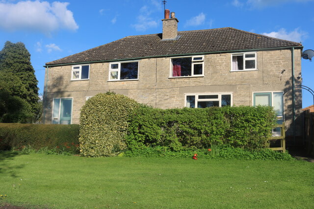
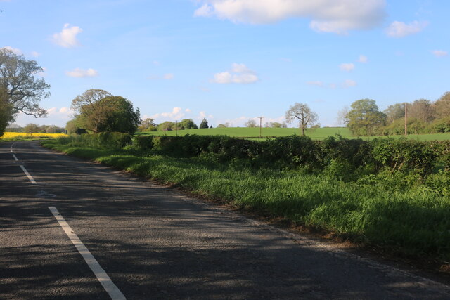
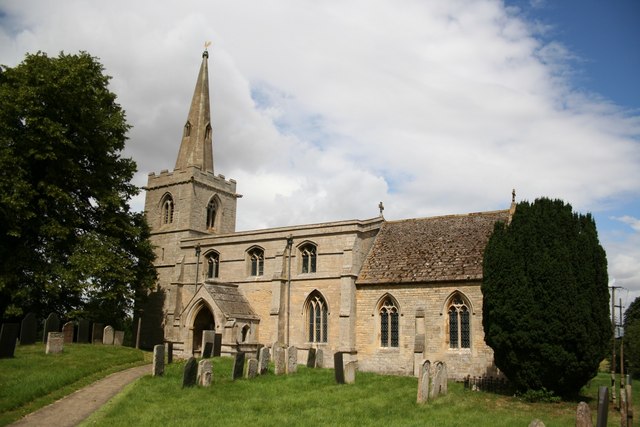
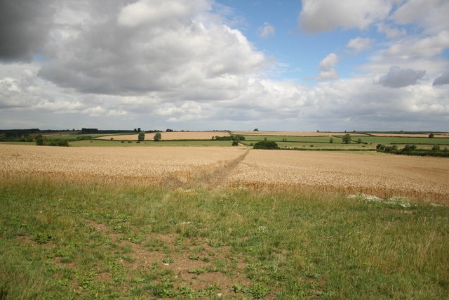
With a population of just over 200 residents, Bitchfield is known for its tranquil and rural setting. The village is surrounded by vast fields, meadows, and farmland, contributing to its peaceful and idyllic atmosphere. The local architecture reflects the area's rich history, with many traditional stone houses and cottages dotting the landscape.

While Bitchfield itself is relatively small, it benefits from its proximity to nearby towns and cities. Residents can easily access a range of amenities and services in Lincoln and Sleaford, including schools, shops, healthcare facilities, and leisure activities. The village also enjoys good transport links, with major road networks such as the A15 and A17 connecting it to other parts of Lincolnshire and beyond.

Bitchfield is situated within an area of natural beauty, making it an appealing location for nature lovers and outdoor enthusiasts. The surrounding countryside offers opportunities for walking, cycling, and exploring the local flora and fauna. Additionally, the village is close to notable attractions such as the Lincolnshire Wolds, Doddington Hall, and Whisby Nature Park, providing further recreational options for residents and visitors alike.

In summary, Bitchfield is a charming and peaceful village in Lincolnshire, offering a serene rural lifestyle while still providing access to nearby amenities and natural beauty.

If you have any feedback on the listing, please let us know in the comments section below.
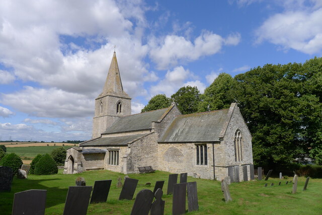
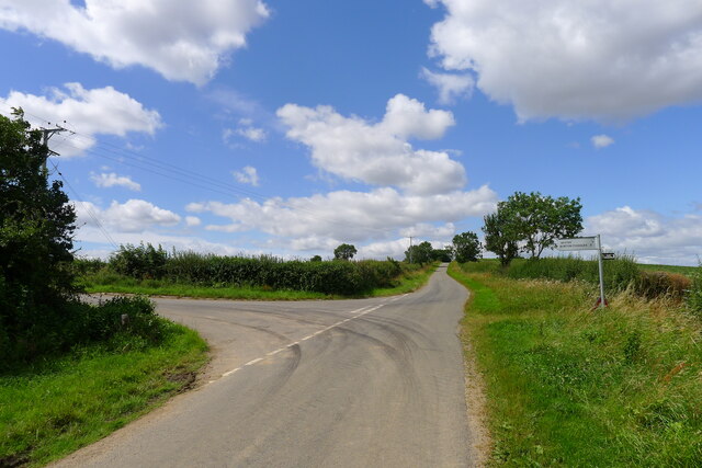
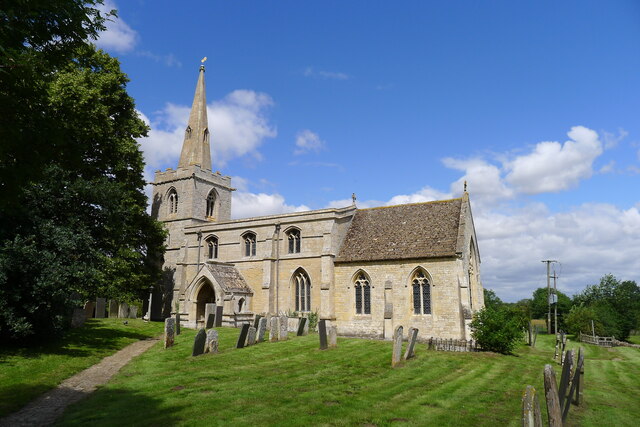
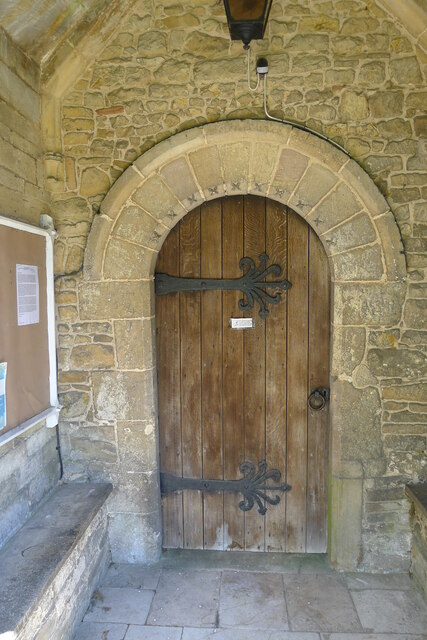
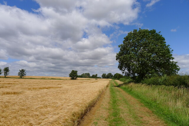
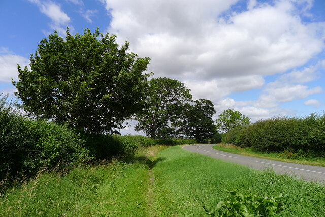
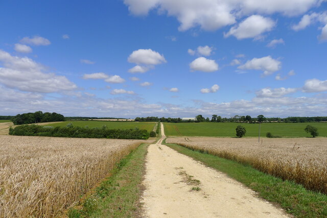
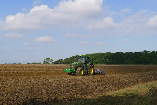
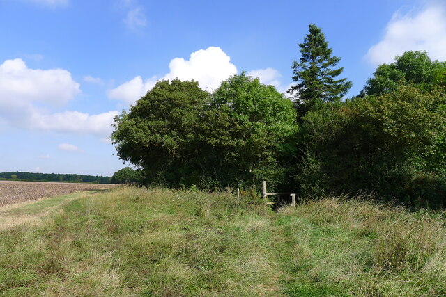
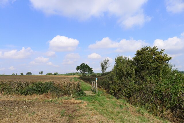
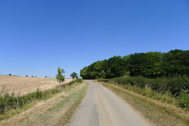
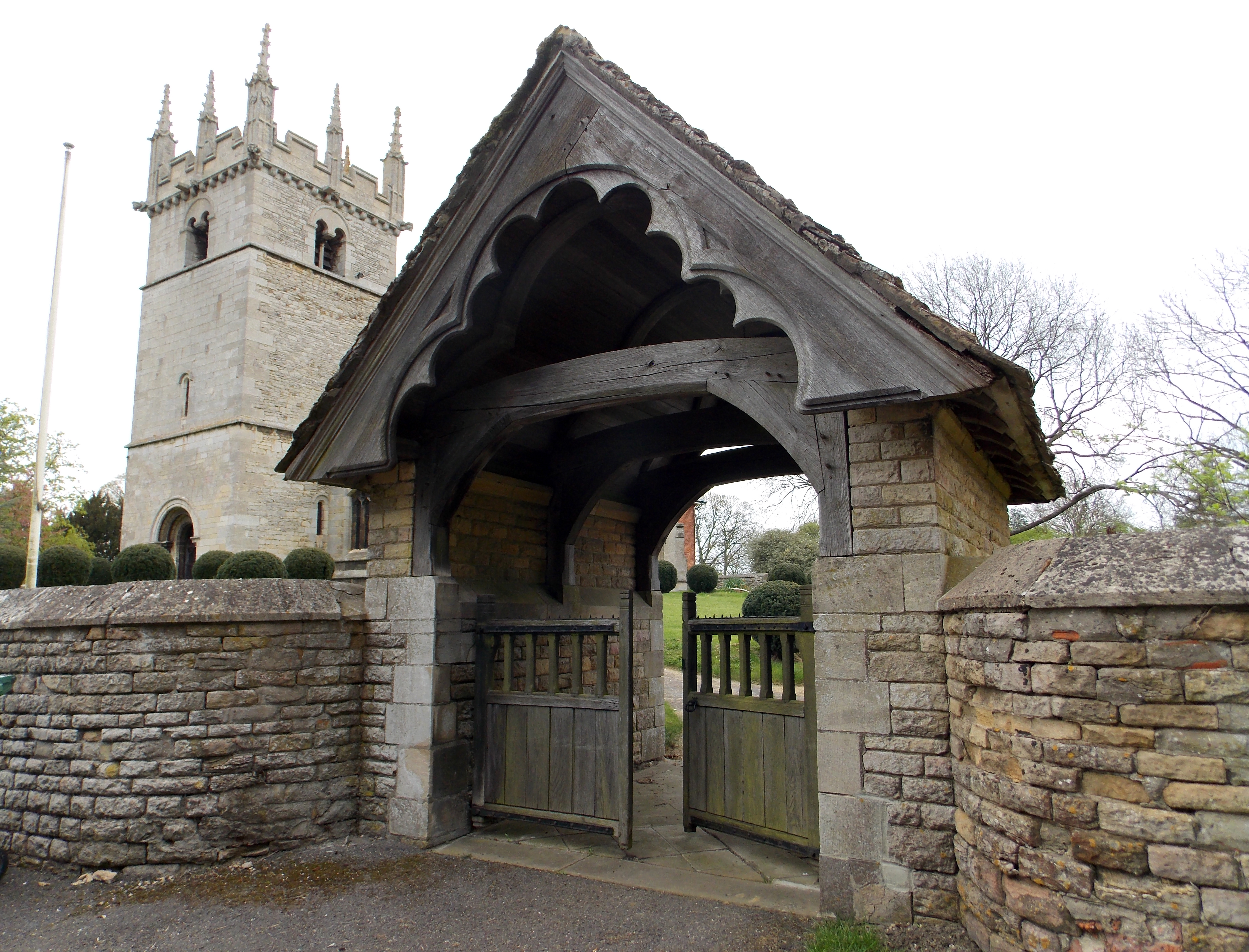
Bitchfield Images

Images are sourced within 2km of 52.845532/-0.539663 or Grid Reference SK9828. Thanks to Geograph Open Source API. All images are credited.

Church of St Thomas a Becket, Bassingthorpe Listed Grade I, from 13th century and later. Contains some Romanesque features <span class="nowrap"><a title="https://www.crsbi.ac.uk/view-item?i=8143" rel="nofollow ugc noopener" href="https://www.crsbi.ac.uk/view-item?i=8143">Link</a><img style="margin-left:2px;" alt="External link" title="External link - shift click to open in new window" src="https://s1.geograph.org.uk/img/external.png" width="10" height="10"/></span>
Church of St Thomas a Becket, Bassingthorpe
Listed Grade I, from 13th century and later. Contains some Romanesque features LinkExternal link
Road heading west to Bassingthorpe To the right, a bridleway to Boothby Pagnell. To the left, a road to Westby and Burton-le-Coggles.
Road heading west to Bassingthorpe
To the right, a bridleway to Boothby Pagnell. To the left, a road to Westby and Burton-le-Coggles.
Church of St Mary Magdalene, Bitchfield Situated in Lower Bitchfield. Listed Grade I, from the 11th century and later <span class="nowrap"><a title="https://britishlistedbuildings.co.uk/101062863-church-of-st-mary-magdalene-bitchfield-and-bassingthorpe#.YQWfbI5KhPY" rel="nofollow ugc noopener" href="https://britishlistedbuildings.co.uk/101062863-church-of-st-mary-magdalene-bitchfield-and-bassingthorpe#.YQWfbI5KhPY">Link</a><img style="margin-left:2px;" alt="External link" title="External link - shift click to open in new window" src="https://s1.geograph.org.uk/img/external.png" width="10" height="10"/></span>
Church of St Mary Magdalene, Bitchfield
Situated in Lower Bitchfield. Listed Grade I, from the 11th century and later LinkExternal link
South doorway to Church of St Mary Magdalene, Bitchfield " ...late C12, round headed, with dogtooth ..." <span class="nowrap"><a title="https://historicengland.org.uk/listing/the-list/list-entry/1062863" rel="nofollow ugc noopener" href="https://historicengland.org.uk/listing/the-list/list-entry/1062863">Link</a><img style="margin-left:2px;" alt="External link" title="External link - shift click to open in new window" src="https://s1.geograph.org.uk/img/external.png" width="10" height="10"/></span>
This wall, and that of the enclosing 14th century porch has numerous late 17th century graffiti (including "TH 1677" - am I that old?). I've noticed graffiti of similar date on other churches.
South doorway to Church of St Mary Magdalene, Bitchfield
" ...late C12, round headed, with dogtooth ..." LinkExternal link This wall, and that of the enclosing 14th century porch has numerous late 17th century graffiti (including "TH 1677" - am I that old?). I've noticed graffiti of similar date on other churches.
Footpath from Burton-le-Coggles north to Lower Bitchfield Alongside very large fields of barley.
Footpath from Burton-le-Coggles north to Lower Bitchfield
Alongside very large fields of barley.
Overgrown footpath A useful footpath from Bitchfield alongside the busy B1176; becoming overgrown at this point.
Overgrown footpath
A useful footpath from Bitchfield alongside the busy B1176; becoming overgrown at this point.
Footpath crossing fields of flax and barley The upper reach of the West Glen River runs along the line of trees between the fields
Footpath crossing fields of flax and barley
The upper reach of the West Glen River runs along the line of trees between the fields
Track towards Boothby Lodge Farm Crossing the West Glen River in the dip
Track towards Boothby Lodge Farm
Crossing the West Glen River in the dip
I hate some folk Look at this catering rubbish dumped on private land with no thought at all.
I hate some folk
Look at this catering rubbish dumped on private land with no thought at all.
Harrowing field next to Ingoldsby Wood The productive farmland of the Kesteven Uplands
Harrowing field next to Ingoldsby Wood
The productive farmland of the Kesteven Uplands
Bridleway approaching Ingoldsby Wood The Danelaw Way one third of its distance from Stamford to Lincoln.
Bridleway approaching Ingoldsby Wood
The Danelaw Way one third of its distance from Stamford to Lincoln.
Bridleway north of Osgodby Coppice Taking the Danelaw Way across the flat Kesteven Uplands.
Bridleway north of Osgodby Coppice
Taking the Danelaw Way across the flat Kesteven Uplands.
The Danelaw Way running north along the edge of Osgodby Coppice A 60 mile route connecting Lincoln and Stamford, two of the ancient boroughs of the Viking Danelaw. Not yet marked on OS maps (Sept 2021), its route can be found at <span class="nowrap"><a title="https://ldwa.org.uk/ldp/members/show_path.php?path_name=Danelaw+Way" rel="nofollow ugc noopener" href="https://ldwa.org.uk/ldp/members/show_path.php?path_name=Danelaw+Way">Link</a><img style="margin-left:2px;" alt="External link" title="External link - shift click to open in new window" src="https://s1.geograph.org.uk/img/external.png" width="10" height="10"/></span>
The Danelaw Way running north along the edge of Osgodby Coppice
A 60 mile route connecting Lincoln and Stamford, two of the ancient boroughs of the Viking Danelaw. Not yet marked on OS maps (Sept 2021), its route can be found at LinkExternal link
Westby Road approaching Lownd Wood The Dictionaries of the Scots Language lists 'Lownd' as a variant (possibly past participle) of 'Lown', meaning calm (of weather), sheltered, peaceful <span class="nowrap"><a title="https://www.dsl.ac.uk/entry/snd/lown" rel="nofollow ugc noopener" href="https://www.dsl.ac.uk/entry/snd/lown">Link</a><img style="margin-left:2px;" alt="External link" title="External link - shift click to open in new window" src="https://s1.geograph.org.uk/img/external.png" width="10" height="10"/></span> . It may also be a family name.
Westby Road approaching Lownd Wood
The Dictionaries of the Scots Language lists 'Lownd' as a variant (possibly past participle) of 'Lown', meaning calm (of weather), sheltered, peaceful LinkExternal link . It may also be a family name.
Houses on Corby Road, Bitchfield Another one for unpleasant sounding names.
Houses on Corby Road, Bitchfield
Another one for unpleasant sounding names.
Corby Road, Bitchfield
Corby Road, Bolton-le-Coggles
Show me another place!

Bitchfield is located at Grid Ref: SK9828 (Lat: 52.845532, Lng: -0.539663)

Division: Parts of Kesteven

Administrative County: Lincolnshire

District: South Kesteven

Police Authority: Lincolnshire

What 3 Words

///line.overhear.newer. Near Corby Glen, Lincolnshire

Related Wikis

Bitchfield

Bitchfield is a small village in the South Kesteven district of Lincolnshire, England. It consists of two groups of buildings connected by Dark Lane, known...

Bitchfield and Bassingthorpe

Bitchfield and Bassingthorpe is a civil parish which includes Boothby Pagnell and Burton Coggles in the South Kesteven district of Lincolnshire, England...

Westby, Lincolnshire

Westby is a hamlet in the civil parish of Bitchfield and Bassingthorpe, in the South Kesteven district of Lincolnshire, England. It is situated approximately...

Bassingthorpe

Bassingthorpe is a small village in the South Kesteven district of Lincolnshire, England. It is in the civil parish of Bitchfield and Bassingthorpe, 5...

Northampton Sand Formation

The Northampton Sand Formation, sometimes called the Northamptonshire Sand, is a Middle Jurassic geological formation which is placed within the Inferior...

Boothby Pagnell

Boothby Pagnell is a village and civil parish in the South Kesteven district of Lincolnshire, England. The population is now included in the civil parish...

Burton Coggles

Burton Coggles (full name Burton-le-Coggles from Byrton-en-les-Coggles) is a small village and civil parish in the South Kesteven district of Lincolnshire...

Ingoldsby

Ingoldsby is a small village in the South Kesteven district of Lincolnshire, England. It is situated 7 miles (11 km) south-east from the market town of...

Nearby Amenities

Located within 500m of 52.845532,-0.539663
Bitchfield
Is In: Lincolnshire, England, UK
Place: hamlet
Lat/Long: 52.8468229/-0.5339685
The Crown PH
Naptan AtcoCode: 270000008610
Naptan Bearing: SE
Naptan BusStopType: CUS
Naptan CommonName: The Crown PH
Naptan Indicator: opp
Naptan Landmark: The Crown PH
Naptan NaptanCode: lingtjmd
Naptan Street: Corby Road
Naptan Verified: no
Source: naptan_import
Lat/Long: 52.8477362/-0.5348137
Bus Stop
The Crown PH
Naptan AtcoCode: 2700LBCI3413
Naptan Bearing: NW
Naptan CommonName: The Crown PH
Naptan Indicator: adj
Naptan Landmark: The Crown PH
Naptan NaptanCode: lindagwd
Naptan Street: Corby Road
Naptan Verified: no
Source: naptan_import
Lat/Long: 52.8477296/-0.5350069
Lower Bitchfield
Is In: Lincolnshire, England
Place: hamlet
Lat/Long: 52.8441508/-0.5408509
Home Farm
Place: farm
Source: Bing
Lat/Long: 52.8461094/-0.5340488
Mount Farm
Place: farm
Source: Bing
Lat/Long: 52.8479495/-0.5342755
Barrier: kissing_gate
Lat/Long: 52.8446325/-0.5332394
Barrier: kissing_gate
Lat/Long: 52.8451249/-0.5362236
Barrier: stile
Steps: 3
Stile: stepover
Lat/Long: 52.8434149/-0.5412052
Bitchfield
Direction: 325
Traffic Sign: city_limit
Lat/Long: 52.8485961/-0.53527
The data included in this document is from www.openstreetmap.org. The data is made available under ODbL.

Have you been to Bitchfield?

Leave your review of Bitchfield below (or comments, questions and feedback).