Queenzieburn

Settlement in Stirlingshire

Scotland

Queenzieburn

Mowing grass Cutting grass for winter fodder, a view over the football park at Queenzieburn.
Mowing grass Credit: Richard Webb

Queenzieburn is a small village located in Stirlingshire, Scotland. Situated approximately 12 miles northeast of Glasgow, it is nestled in the scenic Campsie Fells, offering breathtaking views of the surrounding countryside. The village is part of the Kilsyth parish and falls under the jurisdiction of North Lanarkshire Council.

With a population of around 2,000 residents, Queenzieburn is a close-knit community with a strong sense of local pride. The village is predominantly residential, characterized by rows of traditional stone-built houses and a few modern developments. The tranquil atmosphere and friendly demeanor of the residents make Queenzieburn an attractive place to live.

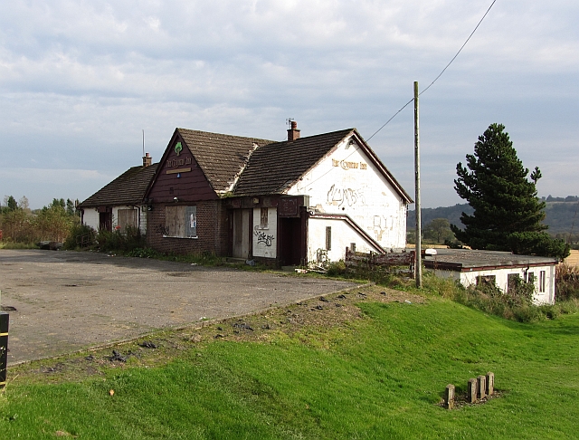
Although small in size, Queenzieburn offers several amenities to its residents. These include a primary school, a community center, a post office, and a local convenience store catering to everyday needs. Additionally, there are a few local businesses, such as a pub and a hair salon, providing services within the village.

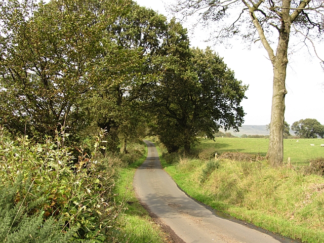
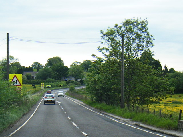
The village enjoys good transport links, with regular bus services connecting Queenzieburn to nearby towns and cities. For those commuting to Glasgow or other areas, the village is conveniently located near major road networks, including the M80 motorway.

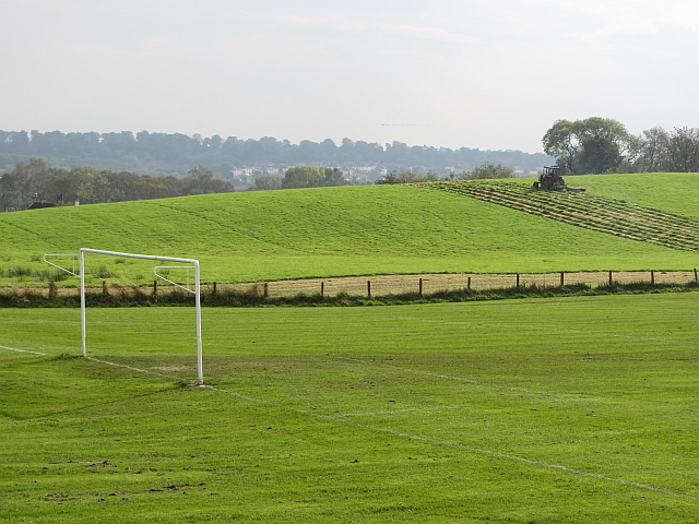
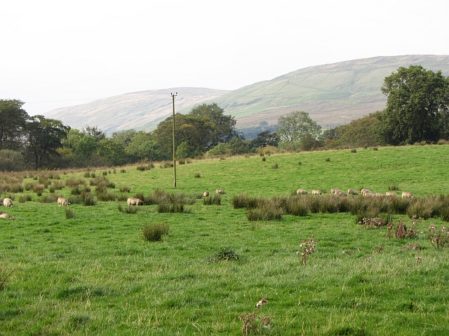
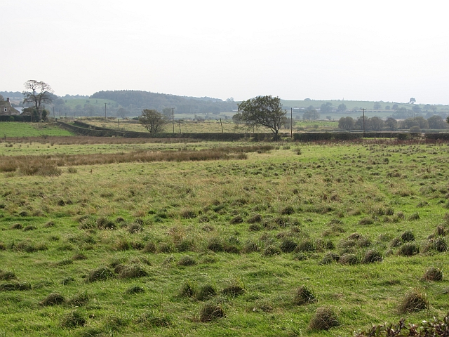
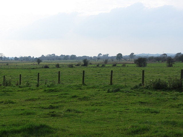
Nature enthusiasts are spoiled for choice in Queenzieburn, as the village is surrounded by picturesque landscapes. Outdoor activities such as hiking, cycling, and birdwatching are popular among residents and visitors alike. The nearby Campsie Glen offers stunning walks, waterfalls, and opportunities for exploring the area's rich natural heritage.

In summary, Queenzieburn is a charming village in Stirlingshire, Scotland, offering a peaceful and picturesque setting for its residents. With its strong community spirit, beautiful surroundings, and convenient amenities, it is a delightful place to call home.

If you have any feedback on the listing, please let us know in the comments section below.
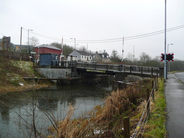
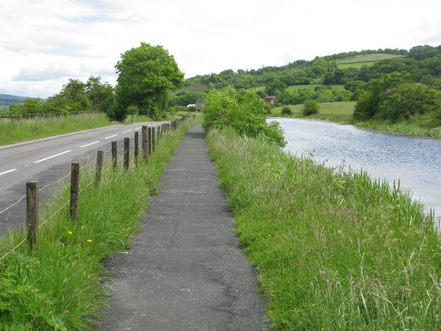
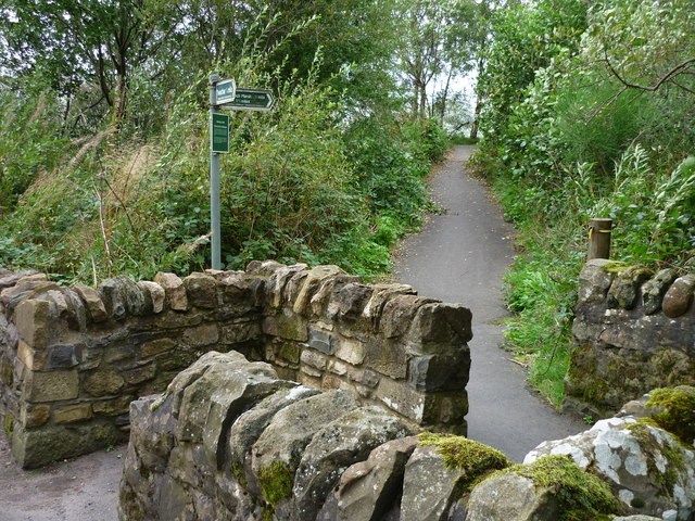
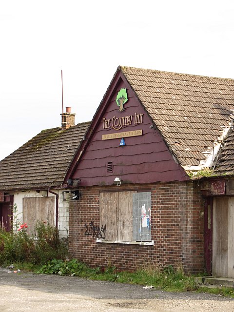
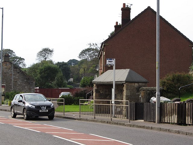
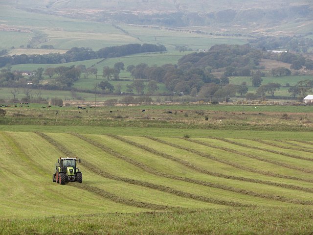
Queenzieburn Images

Images are sourced within 2km of 55.972967/-4.0954439 or Grid Reference NS6977. Thanks to Geograph Open Source API. All images are credited.

Mowing grass Cutting grass for winter fodder, a view over the football park at Queenzieburn.
Mowing grass
Cutting grass for winter fodder, a view over the football park at Queenzieburn.
The Beacon Still derelict, a former public house.
The Beacon
Still derelict, a former public house.
Sheep pasture off Whin Loan Pasture beneath the Campsie Fells.
Sheep pasture off Whin Loan
Pasture beneath the Campsie Fells.
Whin Loan
Whin Loan
Netherinch Wet grassland, typical of a very damp valley floor.
Netherinch
Wet grassland, typical of a very damp valley floor.
Wetland pasture Flat and damp low lying ground along the River Kelvin.
Wetland pasture
Flat and damp low lying ground along the River Kelvin.
Twechar Bridge over the Forth and Clyde Canal Quoting from the guide to the Millennium Link "Here, a single-leaf bascule bridge has been refurbished and was recommissioned in January 2001. The work involved replacing the mechanical and electrical operating equipment, replacing the bridge structure and reinstating the control system. The control building has been rebuilt and the area around the bridge site landscaped."
Twechar Bridge over the Forth and Clyde Canal
Quoting from the guide to the Millennium Link "Here, a single-leaf bascule bridge has been refurbished and was recommissioned in January 2001. The work involved replacing the mechanical and electrical operating equipment, replacing the bridge structure and reinstating the control system. The control building has been rebuilt and the area around the bridge site landscaped."
Corrie Farm and Beyond Looking southeast.
Corrie Farm and Beyond
Looking southeast.
Sheep Grazing at Corrie Looking west.
Sheep Grazing at Corrie
Looking west.
Drystane Dykes, Corrie Looking south from Corrie Plantation towards Cairnbog Farm.
Drystane Dykes, Corrie
Looking south from Corrie Plantation towards Cairnbog Farm.
Forth and Clyde Canal, Towpath and Road (B8023) Approaching Twechar.
Forth and Clyde Canal, Towpath and Road (B8023)
Approaching Twechar.
Entrance to Heritage Path The small rectangular sign reads;
"Heritage Path
River Kelvin Walkway
The walkway follows an old mineral
railway which formed part of an extensive
system of lines that connected the
Twechar pits, Dumbreck pit, Kilsyth,
Auchinstarry quarry and several gravel pits.
Small railway engines called pugs hauled
trains of tubs containing coal, ironstone,
mine waste, quarry stone, coke and gravel.
Built in stages from the 1860's it was used
until the 1960's."
Entrance to Heritage Path
The small rectangular sign reads; "Heritage Path River Kelvin Walkway The walkway follows an old mineral railway which formed part of an extensive system of lines that connected the Twechar pits, Dumbreck pit, Kilsyth, Auchinstarry quarry and several gravel pits. Small railway engines called pugs hauled trains of tubs containing coal, ironstone, mine waste, quarry stone, coke and gravel. Built in stages from the 1860's it was used until the 1960's."
The Beacon Derelict pub, Queenzieburn.
The Beacon
Derelict pub, Queenzieburn.
Bus stop, Queenzieburn A bus stop on Kilsyth Road.
Bus stop, Queenzieburn
A bus stop on Kilsyth Road.
Baling silage Round bale silage production. The grass is not dried and baled green, then it is sealed in a polythene bag to ferment.
Baling silage
Round bale silage production. The grass is not dried and baled green, then it is sealed in a polythene bag to ferment.
Netherinch Farm
Netherinch Farm
Farm access road
Farm access road
A891 near Auchenreoch
Show me another place!

Queenzieburn is located at Grid Ref: NS6977 (Lat: 55.972967, Lng: -4.0954439)

Unitary Authority: North Lanarkshire

Police Authority: Lanarkshire

What 3 Words

///equipping.dividers.journals. Near Twechar, East Dunbartonshire

Nearby Locations

Gallow Hill Queenzieburn

Related Wikis

Queenzieburn

Queenzieburn (Scots: Queenieburn) is a small settlement in the historic county of Stirlingshire and the Council Area of North Lanarkshire, Scotland. Its...

Twechar railway station

Twechar railway station was opened in 1878 as Gavell on the Kelvin Valley Railway and renamed Twechar in 1924. The station served the hamlet of Twechar...

Kilsyth Victoria Cottage Hospital

Kilsyth Victoria Cottage Hospital is a health facility in Glasgow Road, Kilsyth, North Lanarkshire, Scotland. It is managed by NHS Lanarkshire. == History... ==

Antonine Wall

The Antonine Wall (Latin: Vallum Antonini) was a turf fortification on stone foundations, built by the Romans across what is now the Central Belt of Scotland...

Nearby Amenities

Located within 500m of 55.972967,-4.0954439
Queenzieburn
Is In: North Lanarkshire, Scotland, UK
Place: village
Lat/Long: 55.9723065/-4.0942671
Post Box
Post Box Type: pillar
Lat/Long: 55.9711931/-4.0949935
Traffic Sign: maxspeed
Lat/Long: 55.9732361/-4.095313
Barrier: bollard
Bicycle: yes
Foot: yes
Lat/Long: 55.9763406/-4.0986523
Barrier: yes
Lat/Long: 55.9690545/-4.0934154
Power: pole
Lat/Long: 55.9768436/-4.0956939
Power: pole
Lat/Long: 55.9765324/-4.0948752
Power: pole
Lat/Long: 55.9762795/-4.0942023
Power: pole
Lat/Long: 55.9759403/-4.0932878
Power: pole
Lat/Long: 55.9754484/-4.0919942
Power: pole
Lat/Long: 55.9749646/-4.0906901
Power: pole
Lat/Long: 55.974538/-4.0895672
Power: pole
Lat/Long: 55.9743153/-4.0903672
Power: pole
Lat/Long: 55.9748364/-4.0885215
Power: pole
Lat/Long: 55.9717857/-4.0914463
Power: pole
Lat/Long: 55.9715024/-4.0909901
Power: pole
Lat/Long: 55.9709977/-4.0904672
Power: pole
Lat/Long: 55.9704509/-4.0898964
Traffic Sign: maxspeed
Lat/Long: 55.9700113/-4.095437
Traffic Sign: maxspeed
Lat/Long: 55.9700357/-4.09556
Old Place
Place: locality
Lat/Long: 55.9770612/-4.0957656
Bus Stop
Queenzieburn, Kilsyth Road before Dumbreck Terrace
Bench: yes
Bus: yes
Departures Board: timetable
Naptan AtcoCode: 61601414
Naptan NaptanCode: 65236789
Public Transport: platform
Shelter: yes
Lat/Long: 55.9732999/-4.0880004
Bus Stop
Queenzieburn, Kilsyth Road at Recreation Ground
Bench: no
Bin: yes
Bus: yes
Departures Board: timetable
Naptan AtcoCode: 61601415
Naptan NaptanCode: 65234947
Public Transport: platform
Shelter: yes
Lat/Long: 55.9718872/-4.0932592
Bus Stop
Queenzieburn, Kilsyth Road at 8 Kilsyth Road
Bench: no
Bus: yes
Departures Board: timetable
Naptan AtcoCode: 61601416
Naptan NaptanCode: 65236532
Public Transport: platform
Shelter: yes
Lat/Long: 55.972345/-4.0924147
The data included in this document is from www.openstreetmap.org. The data is made available under ODbL.

Have you been to Queenzieburn?

Leave your review of Queenzieburn below (or comments, questions and feedback).